Black Hill of Mark
Hill, Mountain in Aberdeenshire
Scotland
Black Hill of Mark
Black Hill of Mark is a prominent hill located in Aberdeenshire, Scotland. It is part of the Cairngorms National Park, which is known for its stunning landscapes and diverse wildlife. The hill stands at an elevation of approximately 1,121 meters (3,678 feet) and is a popular destination for hikers and nature enthusiasts.
The Black Hill of Mark is characterized by its rugged terrain and barren landscape, with patches of heather and grass covering its slopes. The hill offers breathtaking panoramic views of the surrounding area, including the nearby mountain ranges and rolling hills. On a clear day, one can even catch a glimpse of the North Sea in the distance.
The hill is home to a variety of wildlife, including red deer, mountain hares, and golden eagles. It is also known for its diverse bird population, making it a haven for birdwatchers. The area is protected by conservation efforts to maintain its natural beauty and preserve its ecological importance.
Hiking up the Black Hill of Mark can be a challenging but rewarding experience. There are several routes to reach the summit, varying in difficulty and length. The most popular route starts from the nearby village of Braemar and takes approximately 4-5 hours to complete. Along the way, hikers can enjoy the peaceful surroundings and may encounter other nature enthusiasts exploring the area.
Overall, the Black Hill of Mark offers a captivating outdoor experience with its stunning views, diverse wildlife, and challenging hiking trails. It is a must-visit destination for those seeking to immerse themselves in the natural beauty of Aberdeenshire.
If you have any feedback on the listing, please let us know in the comments section below.
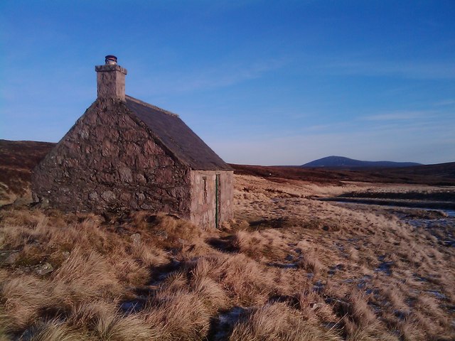
Black Hill of Mark Images
Images are sourced within 2km of 56.919104/-3.1106765 or Grid Reference NO3281. Thanks to Geograph Open Source API. All images are credited.


Black Hill of Mark is located at Grid Ref: NO3281 (Lat: 56.919104, Lng: -3.1106765)
Unitary Authority: Aberdeenshire
Police Authority: North East
What 3 Words
///liquids.reinstate.foster. Near Ballater, Aberdeenshire
Nearby Locations
Related Wikis
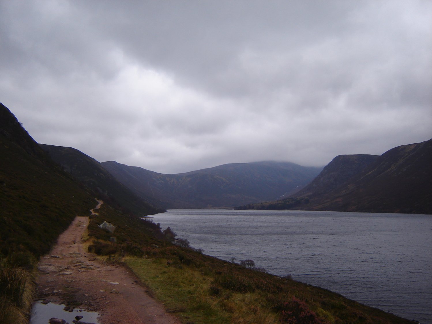
Loch Muick
Loch Muick (; Gaelic: Uisge Muice (pronounced [ɯʃkʲəˈmɯçkʲə])) is an upland, freshwater loch lying approximately 5 mi (8.0 km) south of Braemar, Scotland...
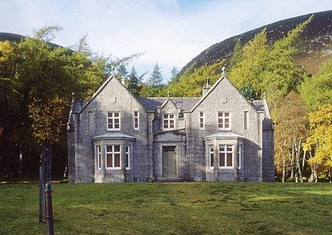
Glas-allt-Shiel
Glas-allt-Shiel is a lodge on the Balmoral Estate by the shore of Loch Muick in Aberdeenshire, Scotland. In its present form it was built in 1868 by Queen...

Falls of Glas Allt
Falls of Glas Allt is a 50-metre (160 ft) waterfall near the head of Loch Muick, Aberdeenshire, Scotland. Queen Victoria liked to take walks here beside...

Falls of Unich
Falls of Unich is a waterfall of Scotland. == See also == Waterfalls of Scotland == References == Media related to Falls of Unich at Wikimedia Commons
Nearby Amenities
Located within 500m of 56.919104,-3.1106765Have you been to Black Hill of Mark?
Leave your review of Black Hill of Mark below (or comments, questions and feedback).