Broom Hill

Hill, Mountain in Angus

Scotland

Broom Hill

Minor road, Glen Prosen A minor road descending a wooded hillside towards the Prosen Water in Angus.
Minor road, Glen Prosen Credit: William Starkey

Broom Hill is a prominent hill located in the county of Angus in eastern Scotland. With an elevation of 256 meters (840 feet), it is categorized as a hill rather than a mountain. Situated to the southwest of the town of Forfar, Broom Hill is a distinctive landmark in the area.

The hill is characterized by its gently sloping terrain, covered in grass and heather, which provides a striking contrast to the surrounding agricultural fields. Broom Hill is part of the larger Sidlaw Hills range, which stretches across Angus and Perthshire.

The summit of Broom Hill offers panoramic views of the surrounding countryside, including the town of Forfar, the rolling hills of Angus, and even glimpses of the distant Cairngorms National Park. On a clear day, it is possible to see as far as the North Sea.

The hill is a popular destination for walkers and hikers due to its accessibility and the well-maintained paths that lead to the summit. Its relatively low height makes it a suitable choice for outdoor enthusiasts of all abilities. Many visitors enjoy exploring the peaceful and tranquil surroundings, taking in the fresh air, and admiring the natural beauty of the area.

Broom Hill is also known for its rich history, with evidence of prehistoric settlements and ancient burial sites in the vicinity. The hill has witnessed centuries of human activity and continues to be an important part of the local landscape.

If you have any feedback on the listing, please let us know in the comments section below.
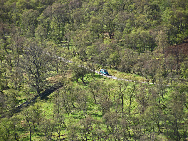
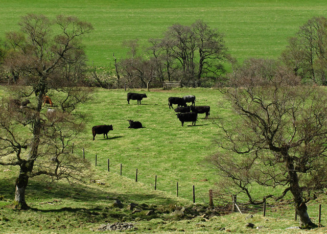
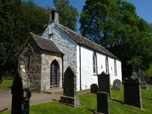
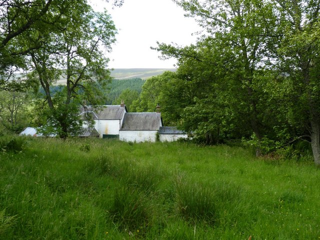
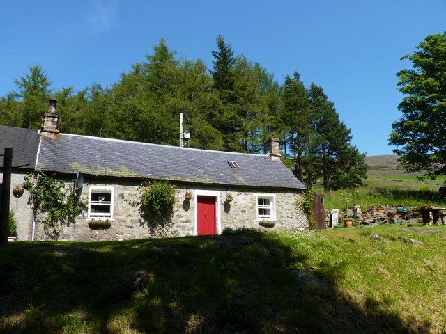
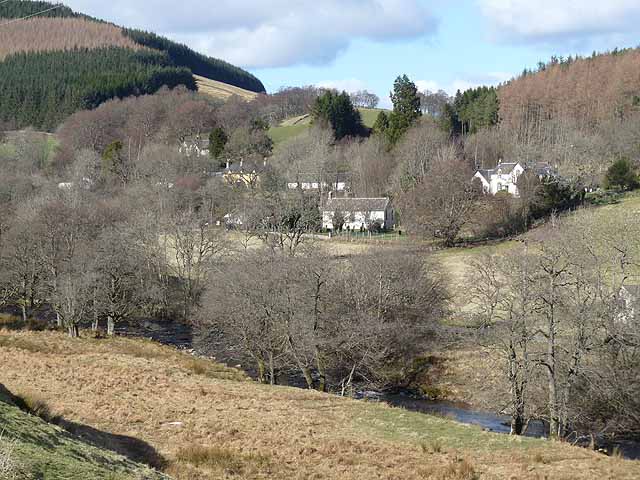
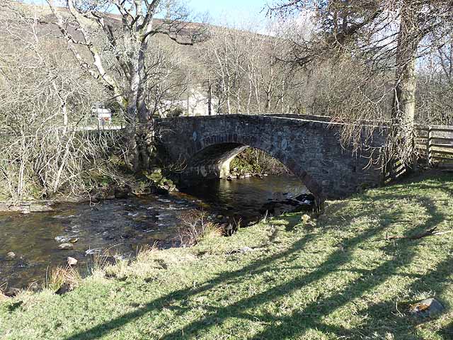
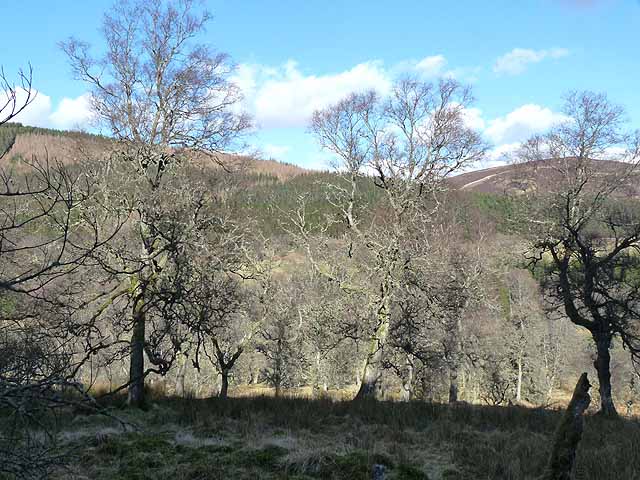
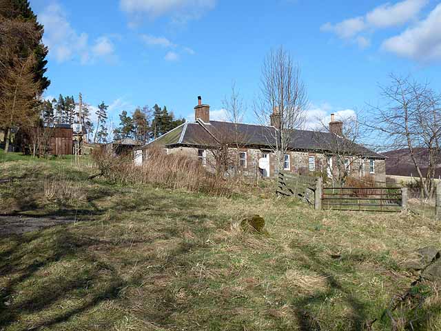
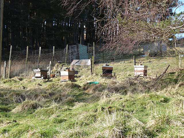
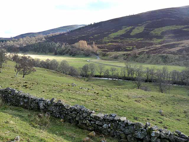
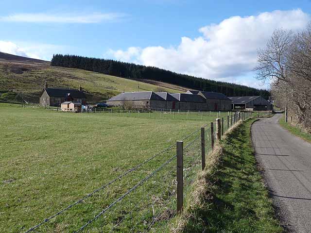
Broom Hill Images

Images are sourced within 2km of 56.765387/-3.1085208 or Grid Reference NO3264. Thanks to Geograph Open Source API. All images are credited.

Minor road, Glen Prosen A minor road descending a wooded hillside towards the Prosen Water in Angus.
Minor road, Glen Prosen
A minor road descending a wooded hillside towards the Prosen Water in Angus.
Grazing cattle, Glen Prosen.
Glen Uig, Braes of Angus The overgrown sheep fank to the left of the picture shows how grouse moors have replaced sheep runs in this part of the Grampians.
Glen Uig, Braes of Angus
The overgrown sheep fank to the left of the picture shows how grouse moors have replaced sheep runs in this part of the Grampians.
Unusual war memorial The war memorial in Glen Prosen village takes the form of this Memorial Porch attached to Glen Prosen Kirk. The Cross of Sacrifice on the porch gable was formed by embedding slates into the wall itself. The names of the fallen are recorded on a bronze tablet inside the porch.
Unusual war memorial
The war memorial in Glen Prosen village takes the form of this Memorial Porch attached to Glen Prosen Kirk. The Cross of Sacrifice on the porch gable was formed by embedding slates into the wall itself. The names of the fallen are recorded on a bronze tablet inside the porch.
Buildings in Glen Prosen village Seen from the track onown as the Minister's Path that leads across the moor to Glen Clova.
Buildings in Glen Prosen village
Seen from the track onown as the Minister's Path that leads across the moor to Glen Clova.
Pitcarity cottage On the edge of the hamlet of Glen Prosen.
Pitcarity cottage
On the edge of the hamlet of Glen Prosen.
Setting off from Wester Lednathie A Duke of Edinburgh expedition heads for the hills.
Setting off from Wester Lednathie
A Duke of Edinburgh expedition heads for the hills.
Glenprosen village Seen across the river.
Glenprosen village
Seen across the river.
Bridge over the Prosen Water Looking downstream, below Glenprosen village.
Bridge over the Prosen Water
Looking downstream, below Glenprosen village.
Woodland near Dalairn The wooded slopes of Blanaboth Craig can be seen on the far side of the valley.
Woodland near Dalairn
The wooded slopes of Blanaboth Craig can be seen on the far side of the valley.
Belmonies A cottage on the slopes of Glen Uig, a side valley of Glen Prosen.
Belmonies
A cottage on the slopes of Glen Uig, a side valley of Glen Prosen.
Beehives in Glen Uig Adjoining the plantation of Shetland Strip.
Beehives in Glen Uig
Adjoining the plantation of Shetland Strip.
Glen Prosen below Wester Dalinch A small floodplain occupies the floor of Glen Prosen at this point. The minor road up the western side of the Glen can be seen beyond the river.
Glen Prosen below Wester Dalinch
A small floodplain occupies the floor of Glen Prosen at this point. The minor road up the western side of the Glen can be seen beyond the river.
Wester Dalinch Farm A small floodplain occupies the floor of Glen Prosen at this point.
Wester Dalinch Farm
A small floodplain occupies the floor of Glen Prosen at this point.
Scrub on the slopes of Glen Prosen Long Goat <a href="https://www.geograph.org.uk/gridref/NO3361">NO3361</a> on the skyline.
Scrub on the slopes of Glen Prosen
Long Goat NO3361 on the skyline.
Cairn above Wester Lednathie Clearly well-constructed for a purpose, but what purpose?
Cairn above Wester Lednathie
Clearly well-constructed for a purpose, but what purpose?
Glen Prosen Church Built 1802, paid for by local inhabitants, ensuring continuous worship in the glen for nearly 400 years. It is a simple traditional white-washed church. 
<span class="nowrap"><a title="https://www.scotlandschurchestrust.org.uk/church/glen-prosen-church" rel="nofollow ugc noopener" href="https://www.scotlandschurchestrust.org.uk/church/glen-prosen-church">Link</a><img style="margin-left:2px;" alt="External link" title="External link - shift click to open in new window" src="https://s1.geograph.org.uk/img/external.png" width="10" height="10"/></span>
Glen Prosen Church
Built 1802, paid for by local inhabitants, ensuring continuous worship in the glen for nearly 400 years. It is a simple traditional white-washed church. LinkExternal link
Cottage in Glen Prosen Near Glenprosen Village.
Cottage in Glen Prosen
Near Glenprosen Village.
Show me another place!

Broom Hill is located at Grid Ref: NO3264 (Lat: 56.765387, Lng: -3.1085208)

Unitary Authority: Angus

Police Authority: Tayside

What 3 Words

///human.large.passwords. Near Kirriemuir, Angus

Nearby Locations

Broom Hill

Related Wikis

Cat Law

Cat Law (671 m) is a hill in the southern Mounth of Scotland, north of Kirriemuir in Angus. A rounded peak, it lies above Strathmore in the south and offers...

Balintore Castle

Balintore Castle is a Victorian Category A listed building in Scotland. The castle occupies an elevated site in moorland above Balintore village, a few...

Balintore, Angus

Balintore (Scottish Gaelic: Baile an Todhair) is a village in Angus, Scotland. It lies in Glen Isla, four miles north of the Loch of Lintrathen and seven...

Mile Hill, Dykehead

There is another Mile Hill nearby which is a MarilynMile Hill is located in Angus, Scotland, 1000 metres west of Dykehead. It is a circular hill rising...

Ascreavie

Ascreavie is a country house in Angus, Scotland. It is located 2 kilometres (1.2 mi) north of Kirkton of Kingoldrum, and 6 kilometres (3.7 mi) north-west...

Cortachy

Cortachy is a village in Angus, Scotland. It lies in at the mouth of Glen Clova, on the River South Esk, four miles north of Kirriemuir. Nearby lies Cortachy...

Clova, Angus

Clova is a village in Glen Clova, Angus, Scotland. It lies on the River South Esk, some 12 miles (19 km) north of Kirriemuir. During the 1745 Jacobite...

Backwater Reservoir

Backwater Reservoir is a reservoir in north west Angus, Scotland. The reservoir's sole purpose is to provide drinking water, and as such, it supplies Angus...

Have you been to Broom Hill?

Leave your review of Broom Hill below (or comments, questions and feedback).