Ball Hill
Hill, Mountain in Somerset South Somerset
England
Ball Hill

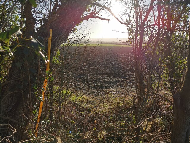
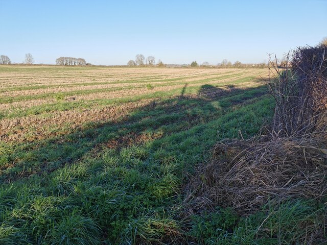
Ball Hill is a prominent hill located in the county of Somerset, England. Situated near the village of West Monkton, it is part of the wider Quantock Hills Area of Outstanding Natural Beauty. With an elevation of 234 meters (768 feet), it is a notable landmark in the region.
Covered in lush greenery and offering picturesque views of the surrounding countryside, Ball Hill attracts both locals and tourists alike. It is a popular destination for outdoor enthusiasts, with various walking and hiking trails crisscrossing its slopes, providing ample opportunities for exploration and discovery. The hill's diverse landscape includes woodland areas, open meadows, and rocky outcrops, making it an ideal location for nature lovers and wildlife enthusiasts.
One of the highlights of Ball Hill is its panoramic views. From its summit, visitors can enjoy breathtaking vistas stretching across the rolling hills and valleys of Somerset, as well as glimpses of the Bristol Channel in the distance. On a clear day, the visibility from the top can be truly remarkable.
Additionally, Ball Hill has historical significance, with evidence of ancient settlements and archaeological sites in the vicinity. It is believed that the hill was once used as a defensive fortification during the Iron Age, adding to its cultural and historical allure.
Overall, Ball Hill offers a tranquil and scenic escape for those seeking to immerse themselves in nature and enjoy the beauty of the Somerset countryside. With its breathtaking views, diverse flora and fauna, and historical significance, it is a must-visit destination for anyone exploring the region.
If you have any feedback on the listing, please let us know in the comments section below.
Ball Hill Images
Images are sourced within 2km of 50.999466/-2.9684013 or Grid Reference ST3222. Thanks to Geograph Open Source API. All images are credited.


Ball Hill is located at Grid Ref: ST3222 (Lat: 50.999466, Lng: -2.9684013)
Administrative County: Somerset
District: South Somerset
Police Authority: Avon and Somerset
What 3 Words
///corrects.flies.counters. Near Creech St Michael, Somerset
Related Wikis

Fivehead Woods and Meadow
Fivehead Woods and Meadow (grid reference ST331231) is a 62.4 hectare (154.2 acre) biological Site of Special Scientific Interest near the village of Fivehead...

Curry Mallet
Curry Mallet (anciently "Cory Mallett") is a village and parish in Somerset, England. It is on the Fivehead River (also known as the River Ile), 7 miles...
Fivehead Arable Fields
Fivehead Arable Fields (grid reference ST337224) is a 10.3 hectare (25.4 acre) biological Site of Special Scientific Interest near the village of Fivehead...
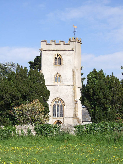
Church of St James, Curry Mallet
The Church of St James is a Church of England parish church in Curry Mallet, Somerset. It has 13th-century origins and has been designated as a Grade I...

Taunton Stop Line
The Taunton Stop Line was a World War II defensive line in southwest England. It was designed "to stop an enemy's advance from the west and in particular...

Beercrocombe
Beercrocombe (also known as Beer Crocombe) is a village and civil parish in Somerset, England, 1 mile (1.6 km) south of Curry Mallet and 7 miles (11.3...
Church of St James, Beercrocombe
The Church of St James in Beercrocombe, Somerset, England, dates from the 13th century but the current building is predominantly from the 15th. It was...

Hatch Beauchamp
Hatch Beauchamp is a village and civil parish in Somerset, England, situated 5 miles (8.0 km) south east of Taunton. The village has a population of 620...
Nearby Amenities
Located within 500m of 50.999466,-2.9684013Have you been to Ball Hill?
Leave your review of Ball Hill below (or comments, questions and feedback).