Reeves Hill

Hill, Mountain in Herefordshire

England

Reeves Hill

Hillside looking north towards Hill House Farm from the lane near Willey Lodge
Hillside Credit: Andrew Longton

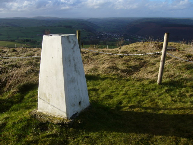
Reeves Hill is a prominent hill located in the county of Herefordshire, England. Rising to an elevation of approximately 248 meters (812 feet), it is part of the larger Malvern Hills range, which stretches across the counties of Herefordshire, Worcestershire, and Gloucestershire.

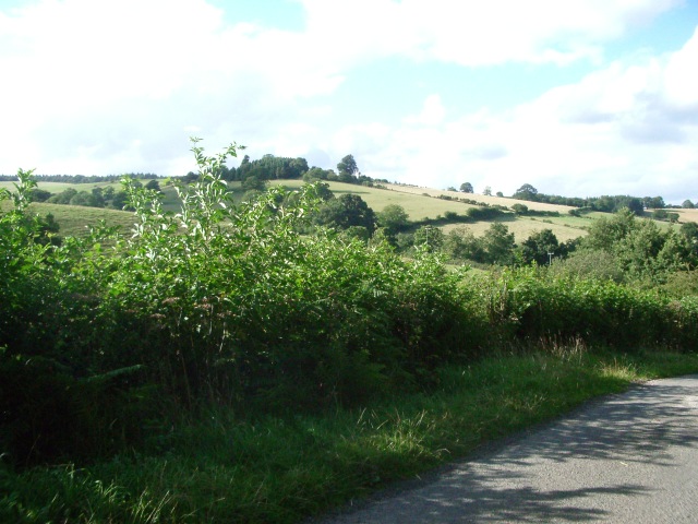
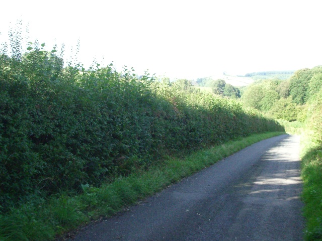
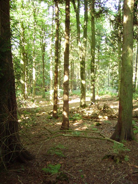
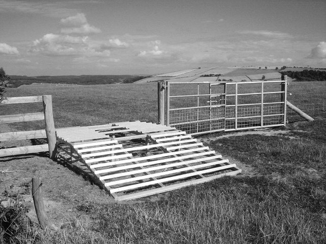
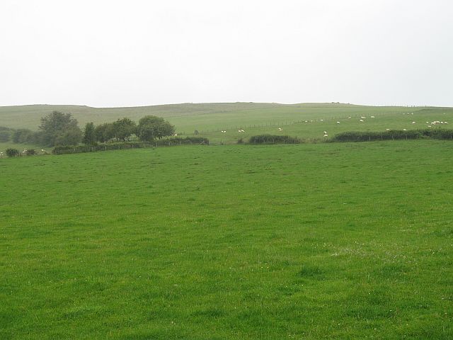
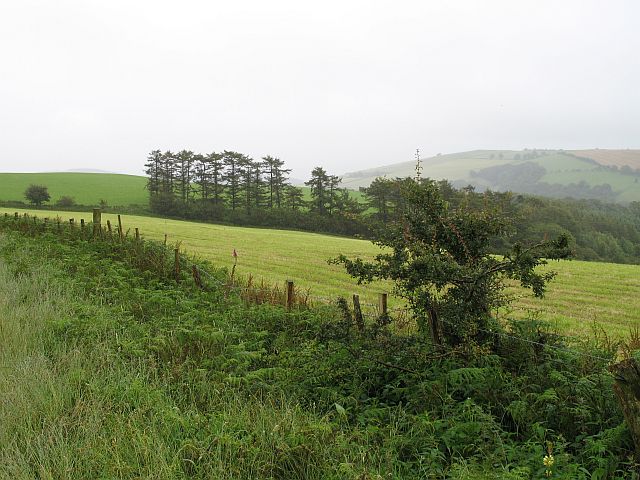
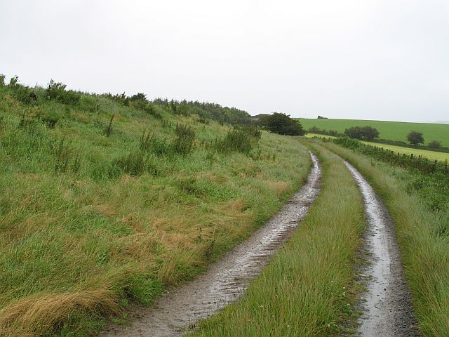
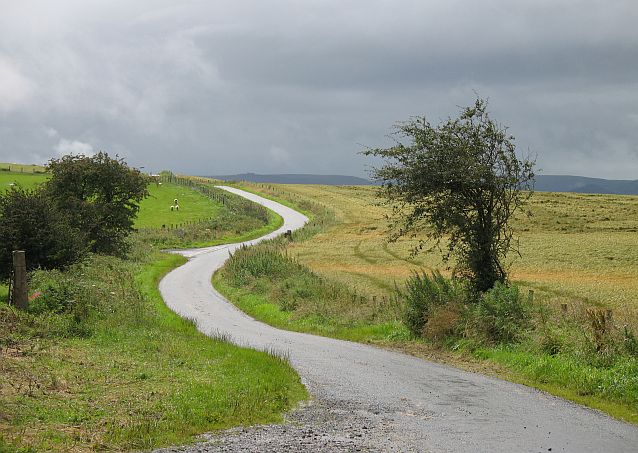
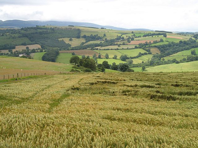
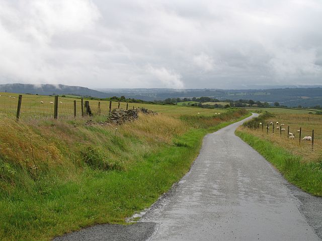
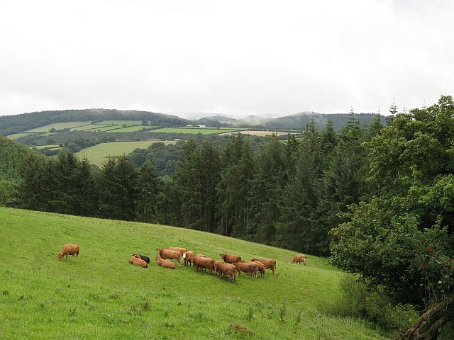
The hill is characterized by its rolling green slopes and rocky outcrops, offering breathtaking panoramic views of the surrounding countryside. It is a popular destination for outdoor enthusiasts, hikers, and nature lovers, who are drawn to its tranquil and picturesque setting. The hill is also home to a variety of wildlife, including birds, deer, and smaller mammals.

Reeves Hill boasts a rich historical and cultural significance. It is said to have been a place of worship and ritual for ancient civilizations, as evidenced by the presence of remnants from Iron Age hillforts and burial mounds in the area. These archaeological sites add to the allure and mystique of the hill.

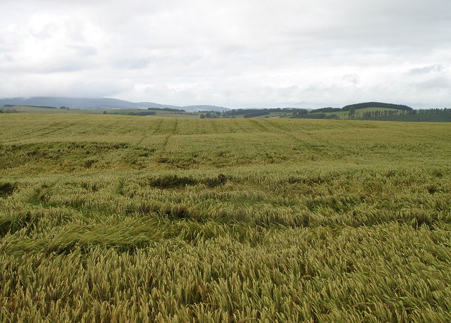
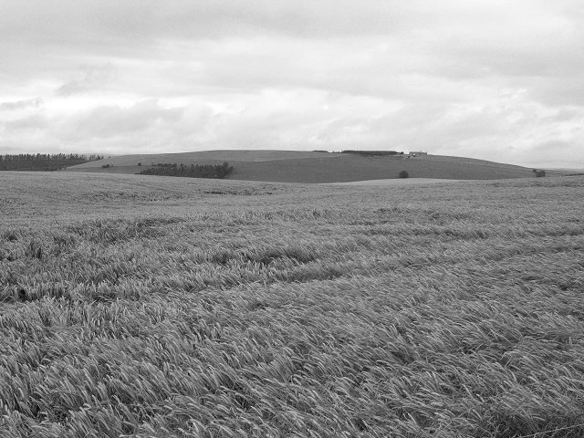
The summit of Reeves Hill provides an ideal vantage point to marvel at the stunning landscapes of Herefordshire, with its patchwork fields, meandering rivers, and distant hills. On clear days, visitors can even catch a glimpse of the majestic Black Mountains in Wales.

Overall, Reeves Hill stands as a remarkable natural landmark in Herefordshire, offering visitors a chance to immerse themselves in its beauty, history, and tranquility.

If you have any feedback on the listing, please let us know in the comments section below.

Reeves Hill Images

Images are sourced within 2km of 52.317796/-3.0003003 or Grid Reference SO3169. Thanks to Geograph Open Source API. All images are credited.

Hillside looking north towards Hill House Farm from the lane near Willey Lodge
Hillside
looking north towards Hill House Farm from the lane near Willey Lodge
The lane near Willey Lodge looking north
The lane near Willey Lodge
looking north
Long Wood A biggish forest block on the southern (Radnorshire) side of the Teme Valley.
Long Wood
A biggish forest block on the southern (Radnorshire) side of the Teme Valley.
ATV stile Stile crossed with a cattle grid. Sheep proof but accessible to a quad bike. Folly Farm near Knighton, Rads.
ATV stile
Stile crossed with a cattle grid. Sheep proof but accessible to a quad bike. Folly Farm near Knighton, Rads.
Llan-wen trig Situated at rear of Spacewatch Project (open Wed to Sun)
Llan-wen trig
Situated at rear of Spacewatch Project (open Wed to Sun)
Stanage Park woodland Woodland along Stonewall Hill, North of Hill House Farm entrance
Stanage Park woodland
Woodland along Stonewall Hill, North of Hill House Farm entrance
The Warren High farmland, Willey. The England - Wales border runs along the skyline. This is the scene of one of the first wind power protests. There has been no development since.
The Warren
High farmland, Willey. The England - Wales border runs along the skyline. This is the scene of one of the first wind power protests. There has been no development since.
Road from Lingen Road up from Lingen to Stonewall Hill, Willey.
Road from Lingen
Road up from Lingen to Stonewall Hill, Willey.
Reeves Hill Hill top farmland at 400m above Tipton Farm.
Reeves Hill
Hill top farmland at 400m above Tipton Farm.
Reeves Hill Farm track running towards Keven.
Reeves Hill
Farm track running towards Keven.
Reeves Hill The Radnorshire side of the road. Barley growing at 400m.
Reeves Hill
The Radnorshire side of the road. Barley growing at 400m.
Reeves Hill High level barley field with the former Powys Observatory on the skyline. The observatory (Spaceguard) is now used to detect and study potentially dangerous Near Earth Objects.
Reeves Hill
High level barley field with the former Powys Observatory on the skyline. The observatory (Spaceguard) is now used to detect and study potentially dangerous Near Earth Objects.
Stonewall Hill The road here separates Herefordshire (left) and Radnorshire (right). Probably named for the dyke that runs beside the road - dry stone walls are rare in the area.
Stonewall Hill
The road here separates Herefordshire (left) and Radnorshire (right). Probably named for the dyke that runs beside the road - dry stone walls are rare in the area.
Stonewall Hill Barley growing on the Welsh side of the road.
Stonewall Hill
Barley growing on the Welsh side of the road.
Stonewall Hill Road descending towards Presteigne with the remains of the stone wall.
Stonewall Hill
Road descending towards Presteigne with the remains of the stone wall.
Near Goat House The Herefordshire side of the Stonewall Hill road. Cattle graze amongst small woods.
Near Goat House
The Herefordshire side of the Stonewall Hill road. Cattle graze amongst small woods.
Junction on Meeting House Lane
Meeting House Farm, Meeting House Lane Beyond the farm, Meeting House Lane becomes an un-made track before eventually running into Farrington Lane.
Meeting House Farm, Meeting House Lane
Beyond the farm, Meeting House Lane becomes an un-made track before eventually running into Farrington Lane.
Show me another place!

Reeves Hill is located at Grid Ref: SO3169 (Lat: 52.317796, Lng: -3.0003003)

Unitary Authority: County of Herefordshire

Police Authority: West Mercia

What 3 Words

///slices.joke.playback. Near Knighton, Powys

Nearby Locations

Reeves Hill

Related Wikis

St Andrew's Church, Presteigne

St Andrew's Church is a Church of England parish church in Presteigne, Powys, Wales. It was first constructed in the 9th century by the Anglo-Saxons and...

Norton, Powys

Norton is a village in Powys within the historic boundaries of Radnorshire, Wales. In 1086, Norton was recorded as a settlement within the hundred of Leintwardine...

Stanage Park

Stanage Park is a Grade II* listed Welsh country house set in a large park located some 3 miles (4.8 km) east of Knighton, Powys near the settlement of...

Heartsease, Knighton

Heartsease is a small settlement or hamlet in Powys, Wales. It is close to the border with England and lies near the junction of the two counties of Herefordshire...

Milebrook

Milebrook is a hamlet in Powys, Wales. == Location == Milebrook is located on a crossroads of the A4113 road almost alongside the Afon Tefeidiad that,...

Stapleton, Herefordshire

Stapleton is a small village and civil parish in Herefordshire near the border town of Presteigne in Wales. The parish borders on Willey, Kinsham and Presteigne...

Willey, Herefordshire

Willey is a civil parish in Herefordshire, on the Welsh-English borders. The main source of employment is farming and there were a total of 61 residents...

Knighton railway station

Knighton railway station serves the border market town of Knighton in Powys, Wales, although the station itself is located in Shropshire, England (the...

Have you been to Reeves Hill?

Leave your review of Reeves Hill below (or comments, questions and feedback).