Black Craig

Hill, Mountain in Fife

Scotland

Black Craig

Looking towards Tay Estuary at Fliskmillan
Looking towards Tay Estuary at Fliskmillan Credit: Becky Williamson

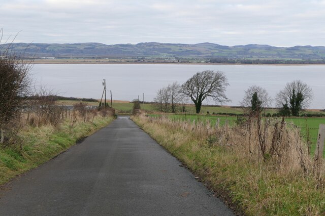
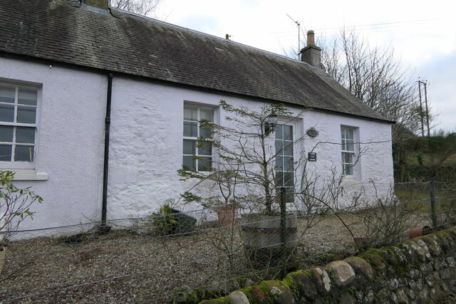
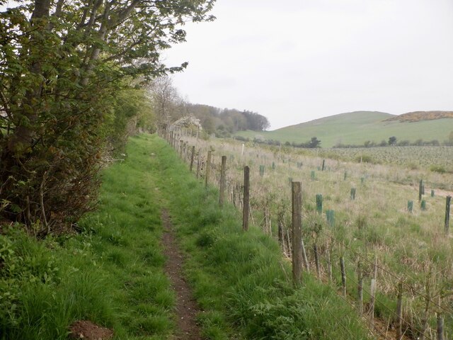
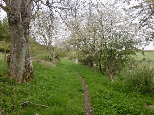
Black Craig is a prominent hill located in the region of Fife, Scotland. Standing at an elevation of approximately 366 meters (1,201 feet), it forms part of the Lomond Hills, which are a range of hills in central Fife. The hill is situated near the village of Falkland and is a popular destination for hikers and outdoor enthusiasts.

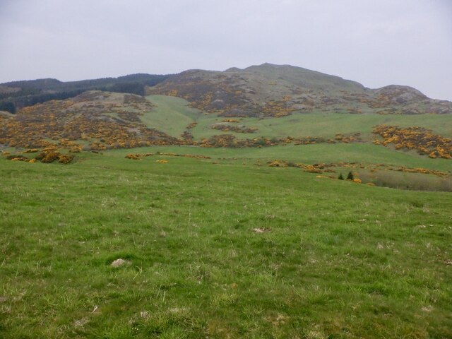
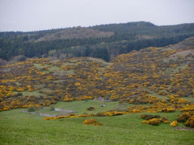
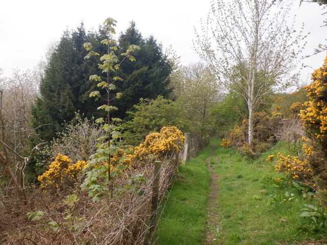
Black Craig offers breathtaking panoramic views of the surrounding countryside, with its rugged terrain and lush greenery. The summit provides a vantage point to admire the beauty of the Fife countryside, including the rolling hills, farmland, and forests that stretch as far as the eye can see.

The ascent to the top of Black Craig can be challenging, but the reward is well worth the effort. The hill features a mixture of grassy slopes and rocky outcrops, making it an exciting and varied climb. On a clear day, it is possible to spot other peaks in the Lomond Hills range, such as East Lomond and West Lomond, as well as distant landmarks like the Forth Bridges and the Firth of Forth.

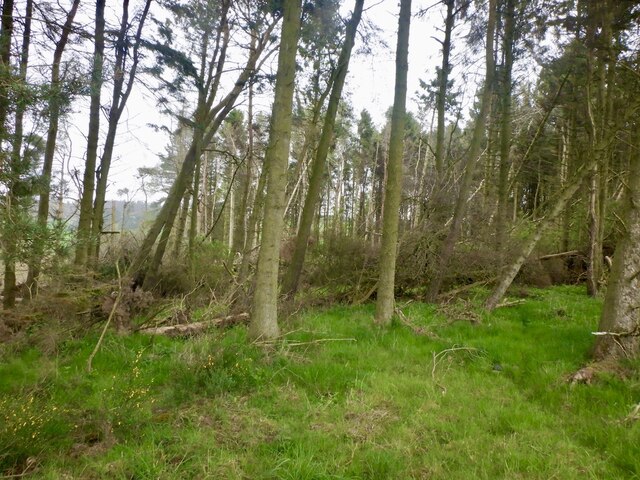
Black Craig is also known for its rich biodiversity, with various plant and animal species calling the hillside home. The surrounding area is a haven for wildlife, including birds of prey, deer, and a diverse range of flora and fauna.

Overall, Black Craig offers a rewarding and picturesque adventure for those seeking to explore the natural beauty of Fife's landscape.

If you have any feedback on the listing, please let us know in the comments section below.

Black Craig Images

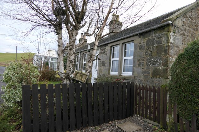
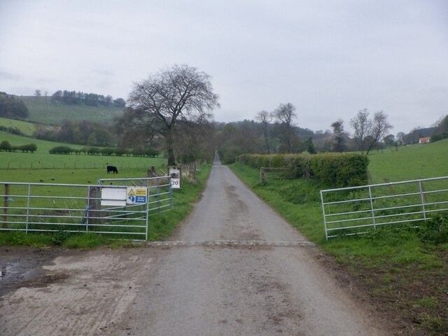
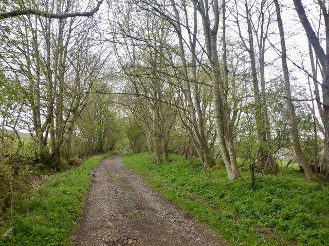
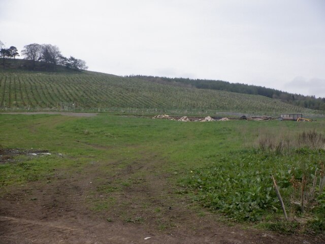
Images are sourced within 2km of 56.366893/-3.1130636 or Grid Reference NO3119. Thanks to Geograph Open Source API. All images are credited.

Looking towards Tay Estuary at Fliskmillan
Windthrow A strip wood on the slopes of Starr Law.
Windthrow
A strip wood on the slopes of Starr Law.
Benchmark, Carseview Cottage, Flisk Ordnance Survey benchmark.  For database entry, see <span class="nowrap"><a title="https://www.bench-marks.org.uk/bm211337" rel="nofollow ugc noopener" href="https://www.bench-marks.org.uk/bm211337">Link</a><img style="margin-left:2px;" alt="External link" title="External link - shift click to open in new window" src="https://s1.geograph.org.uk/img/external.png" width="10" height="10"/></span>.  See also <a href="https://www.geograph.org.uk/photo/7687279">NO3021 : Carseview Cottage, Flisk</a>.
Benchmark, Carseview Cottage, Flisk
Ordnance Survey benchmark. For database entry, see LinkExternal link. See also NO3021 : Carseview Cottage, Flisk.
Fliskmillan House There is an Ordnance Survey benchmark on the  left-hand side of this building. See <a href="https://www.geograph.org.uk/photo/7687274">NO3021 : Benchmark, Fliskmillan House</a>.
Fliskmillan House
There is an Ordnance Survey benchmark on the left-hand side of this building. See NO3021 : Benchmark, Fliskmillan House.
Balhelvie Cottage There is an Ordnance Survey benchmark on this cottage, just above fence line to the right of the drainpipe in this photo. See also <a href="https://www.geograph.org.uk/photo/7687265">NO3021 : Benchmark, Balhelvie Cottages</a>.
Balhelvie Cottage
There is an Ordnance Survey benchmark on this cottage, just above fence line to the right of the drainpipe in this photo. See also NO3021 : Benchmark, Balhelvie Cottages.
Benchmark, Balhelvie Cottages Ordnance Survey benchmark, described on database at <span class="nowrap"><a title="https://www.bench-marks.org.uk/bm211338" rel="nofollow ugc noopener" href="https://www.bench-marks.org.uk/bm211338">Link</a><img style="margin-left:2px;" alt="External link" title="External link - shift click to open in new window" src="https://s1.geograph.org.uk/img/external.png" width="10" height="10"/></span>.  See also <a href="https://www.geograph.org.uk/photo/7687247">NO3021 : Balhelvie Cottage</a>.
Benchmark, Balhelvie Cottages
Ordnance Survey benchmark, described on database at LinkExternal link. See also NO3021 : Balhelvie Cottage.
Road leading north-east from Balhelvie
Benchmark, Fliskmillan House Ordnance Survey benchmark, described on database at <span class="nowrap"><a title="https://www.bench-marks.org.uk/bm211336" rel="nofollow ugc noopener" href="https://www.bench-marks.org.uk/bm211336">Link</a><img style="margin-left:2px;" alt="External link" title="External link - shift click to open in new window" src="https://s1.geograph.org.uk/img/external.png" width="10" height="10"/></span>.  See also <a href="https://www.geograph.org.uk/photo/7687243">NO3021 : Fliskmillan House</a>.
Benchmark, Fliskmillan House
Ordnance Survey benchmark, described on database at LinkExternal link. See also NO3021 : Fliskmillan House.
Cottages at Flisk There is an Ordnance Survey benchmark on the nearest cottage.
Cottages at Flisk
There is an Ordnance Survey benchmark on the nearest cottage.
Carseview Cottage, Flisk There is an Ordnance Survey benchmark on this building.
Carseview Cottage, Flisk
There is an Ordnance Survey benchmark on this building.
Carphin drive At Lower Luthrie.
Carphin drive
At Lower Luthrie.
Road to Wester Kinsleith Carries on as a path beyond Wester Kinsleith.
Road to Wester Kinsleith
Carries on as a path beyond Wester Kinsleith.
Young trees, Prospect Hill A young, mostly spruce plantation.
Young trees, Prospect Hill
A young, mostly spruce plantation.
Path to Ayton At Wester Kinsleith
Path to Ayton
At Wester Kinsleith
Path to Ayton
Path to Ayton
Norman's Law from Whirly Kips
Denmuirhill A ruin on Norman's Law
Denmuirhill
A ruin on Norman's Law
Luthrie to Ayton path
Show me another place!

Black Craig is located at Grid Ref: NO3119 (Lat: 56.366893, Lng: -3.1130636)

Unitary Authority: Fife

Police Authority: Fife

What 3 Words

///prime.recliner.good. Near Errol, Perth & Kinross

Nearby Locations

Black Craig

Related Wikis

Norman's Law

Norman's Law is a prominent hill at the far eastern end of the Ochil Fault, Scotland. It sits above the south bank of the River Tay, around four miles...

Luthrie

Luthrie is a village in the parish of Creich in Fife, Scotland. A small stream shown on maps as Windygates Burn (but known locally as Luthrie Burn) flows...

Creich, Fife

Creich (Scottish Gaelic: Craoich, pronounced [kʰɾɯːç]; OS: Criech), is a hamlet in Fife, Scotland.The local parish is named after Creich. The ruins of...

Parbroath Castle

Parbroath Castle is a ruined castle which was the former seat of Clan Seton near Parbroath farm, Creich, Fife, Scotland. Only a portion of a vault standing...

Have you been to Black Craig?

Leave your review of Black Craig below (or comments, questions and feedback).