Ben Aigan
Hill, Mountain in Banffshire
Scotland
Ben Aigan
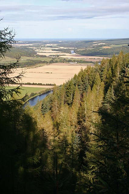
Ben Aigan is a majestic hill located in Banffshire, Scotland. Rising to a height of approximately 471 meters (1,545 feet), it offers breathtaking panoramic views of the surrounding countryside. Situated in the eastern part of Scotland, near the town of Craigellachie, Ben Aigan is a popular destination for hikers, nature enthusiasts, and outdoor adventurers.
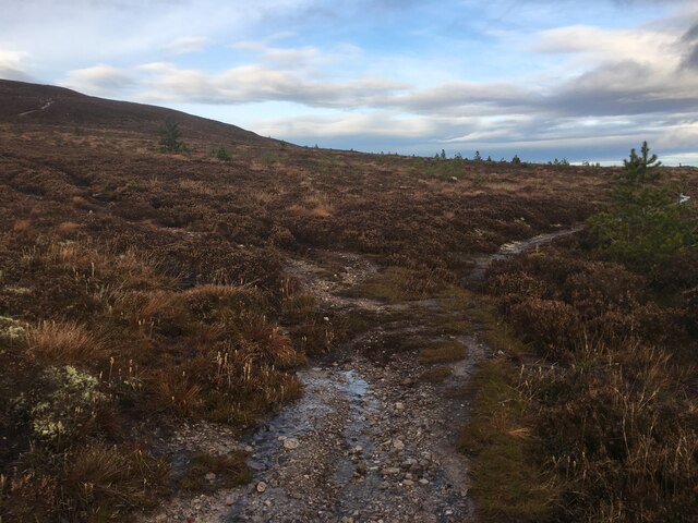
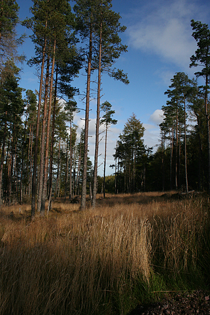
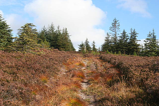
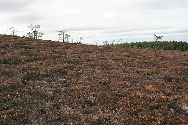
The hill is known for its distinctive conical shape, which adds to its allure and charm. Its slopes are covered with lush green vegetation, providing a haven for various plant species and wildlife. As visitors ascend the hill, they will discover a diverse range of flora and fauna, including heather, gorse, deer, and birds of prey like golden eagles and buzzards.
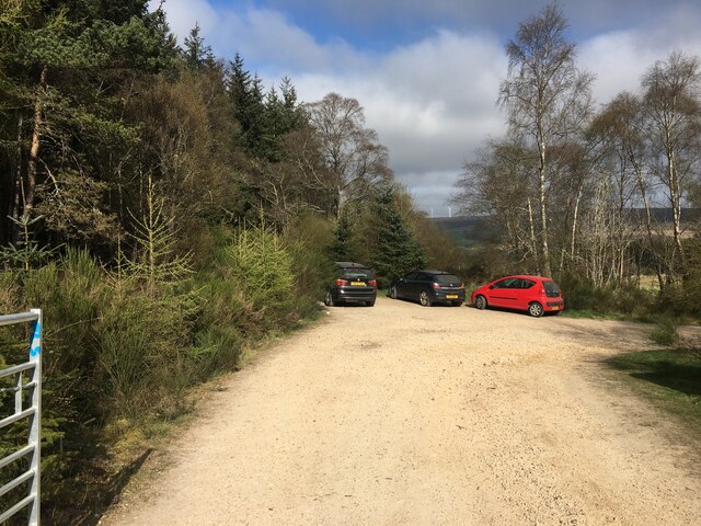
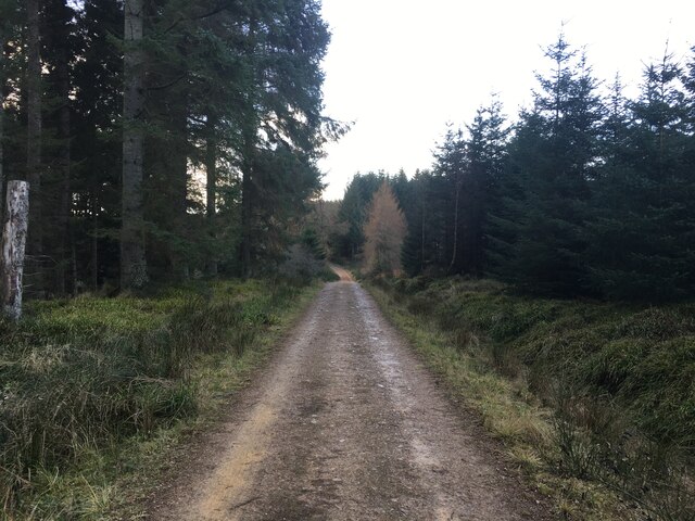
Exploring Ben Aigan is a rewarding experience, as it offers a myriad of walking trails and paths suitable for all levels of fitness. Whether you choose a gentle stroll or a more challenging hike, the hill caters to all abilities. One of the most popular routes is the circular walk that takes you to the summit, where you can enjoy sweeping views of the Cairngorms National Park, the Spey Valley, and the Moray Firth.
Additionally, Ben Aigan is a fantastic location for birdwatching, with a variety of species that call the hill home or pass through during migration. This attracts birdwatchers from all over the country, eager to catch a glimpse of rare or elusive species.
In conclusion, Ben Aigan is a picturesque and accessible hill in Banffshire, Scotland, offering visitors a chance to immerse themselves in the natural beauty of the region. Its stunning landscapes, diverse wildlife, and well-maintained trails make it a must-visit destination for nature lovers and outdoor enthusiasts alike.
If you have any feedback on the listing, please let us know in the comments section below.
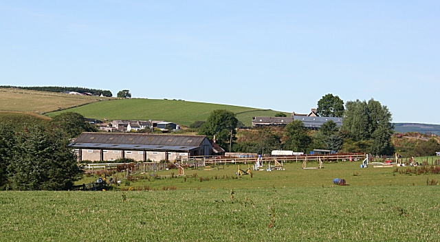
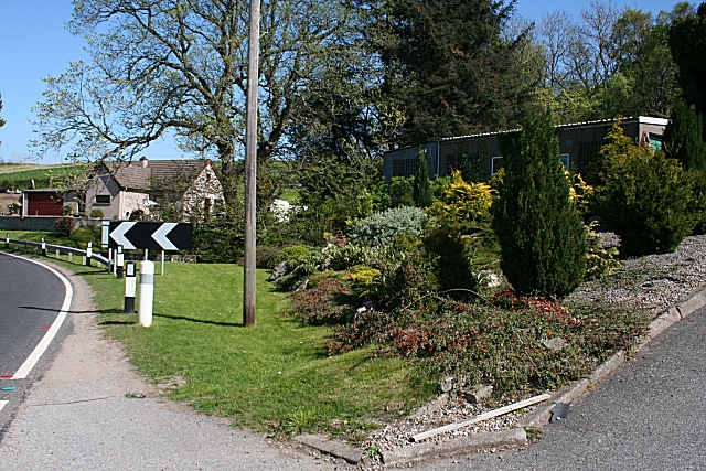
Ben Aigan Images
Images are sourced within 2km of 57.518608/-3.1536666 or Grid Reference NJ3048. Thanks to Geograph Open Source API. All images are credited.


Ben Aigan is located at Grid Ref: NJ3048 (Lat: 57.518608, Lng: -3.1536666)
Unitary Authority: Moray
Police Authority: North East
What 3 Words
///headings.gangway.mammals. Near Rothes, Moray
Nearby Locations
Related Wikis
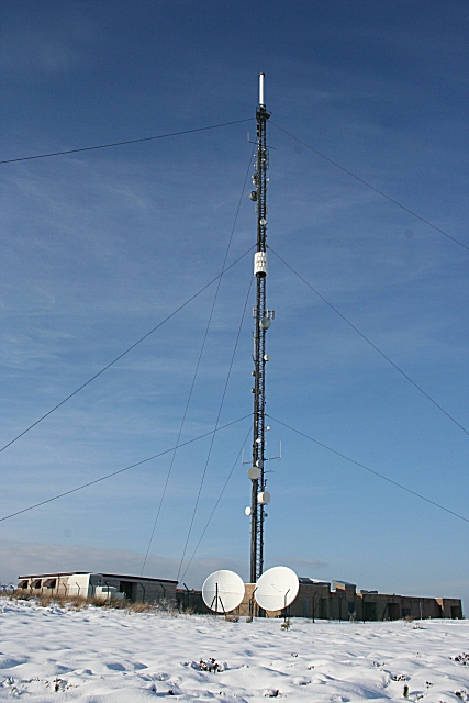
Knock More transmitting station
The Knock More transmitting station (sometimes spelled "Knockmore") is a broadcasting facility, located at Knock More, to east of the parish of Boharm...

Arndilly House
Arndilly House is a 1770 house in Banffshire, Scotland, in the parish of Boharm. It lies between the River Spey and Ben Aigan. It was remodelled in both...
Boharm
Boharm is a rural parish in the Speyside area of north Scotland, midway between Aberlour and Fochabers, and north of Dufftown. It lies on minor roads to...

Arndilly
Arndilly is a place and former parish in Moray, Scotland. The parish was united with the parish of Boharm in 1618. The name was previously Ardintullie...
Maggieknockater
Maggieknockater (Scottish Gaelic: Magh an Fhùcadair, meaning "field of the fuller" or "plain of the hilly ridge") is a hamlet on the A95 road between Craigellachie...
Gauldwell Castle
Gauldwell Castle was a 13th-century castle, about 3.5 miles (5.6 km) north-west of Dufftown, Moray, Scotland, north of the River Fiddich. Alternative names...

Dandaleith railway station
Dandaleith railway station served the village of Craigellachie, Moray, Scotland from 1858 to 1965 on the Morayshire Railway. == History == The station...
Rothes F.C.
Rothes Football Club is a senior football club who play in the Highland Football League. They were originally founded in 1907 as a Junior club, Rothes...
Nearby Amenities
Located within 500m of 57.518608,-3.1536666Have you been to Ben Aigan?
Leave your review of Ben Aigan below (or comments, questions and feedback).