Castle Hillock

Hill, Mountain in Angus

Scotland

Castle Hillock

Alpacas at Clintlaw Farm In a variety of colours.
Alpacas at Clintlaw Farm Credit: Oliver Dixon

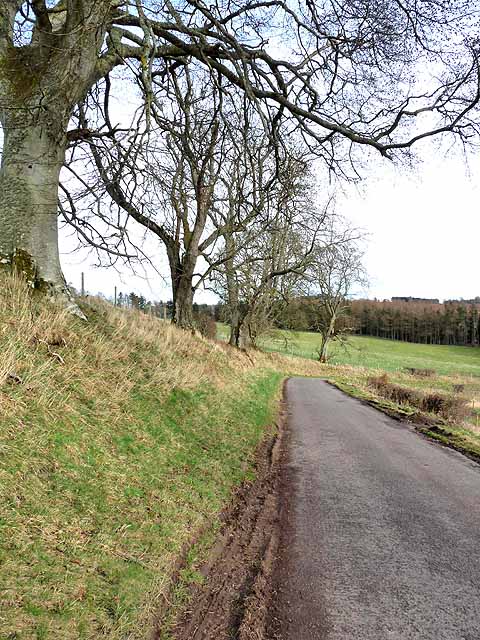
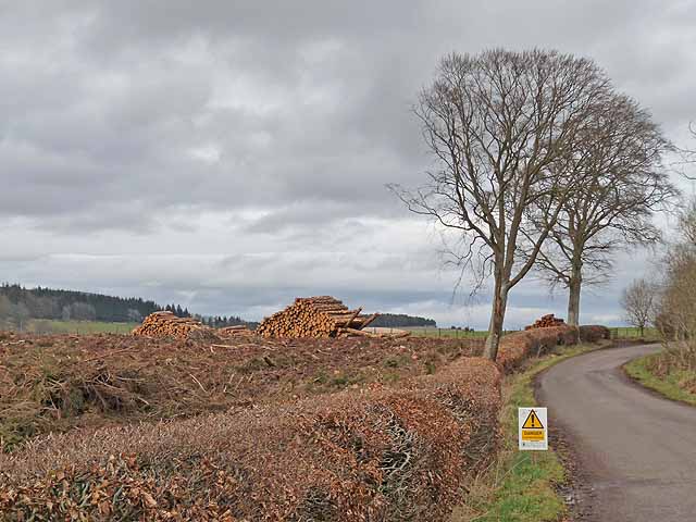
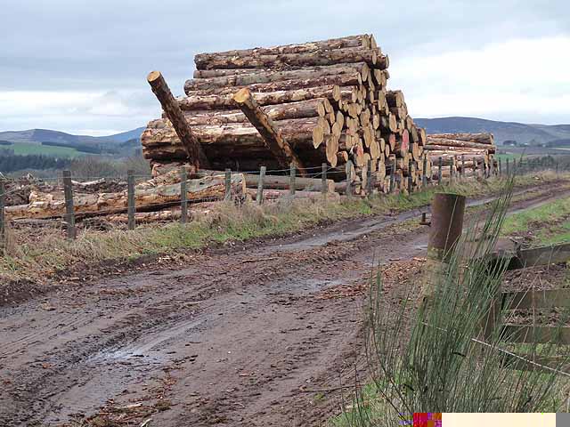
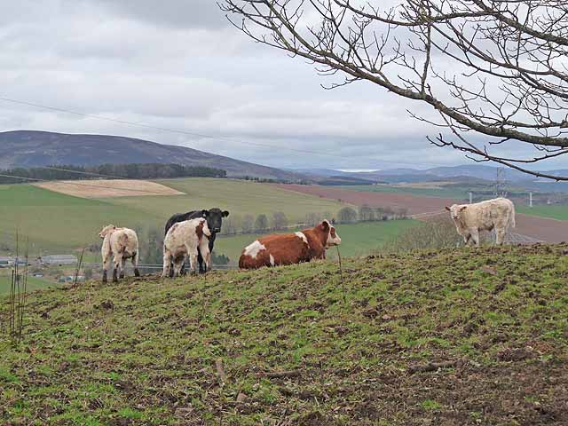
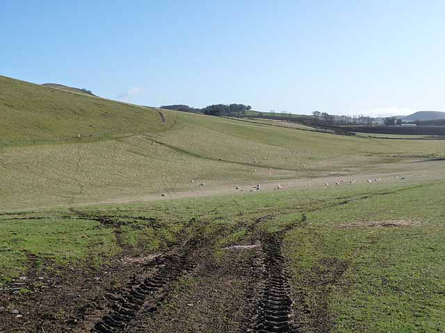
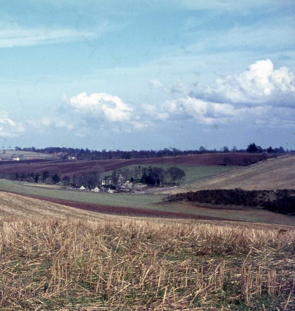
Castle Hillock is a prominent hill located in Angus, Scotland. Standing at an elevation of 383 meters (1,257 feet), it offers stunning panoramic views of the surrounding countryside and coastline. The hill is a popular destination for hikers and outdoor enthusiasts, with several well-maintained trails leading to the summit.

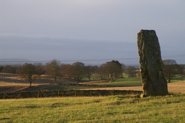
The name Castle Hillock is derived from the presence of a historic hill fort that once stood on its slopes. The remains of the fort can still be seen, adding to the hill's historical significance. The fort is believed to have been constructed during the Iron Age and would have provided a strategic vantage point over the surrounding landscape.

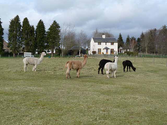
Visitors to Castle Hillock can expect to encounter a variety of wildlife and plant species, making it a haven for nature lovers. The hill is also home to a diverse range of bird species, including peregrine falcons and buzzards.

Overall, Castle Hillock offers a unique blend of natural beauty, historical significance, and recreational opportunities, making it a must-visit destination for anyone exploring the Angus region of Scotland.

If you have any feedback on the listing, please let us know in the comments section below.

Castle Hillock Images

Images are sourced within 2km of 56.66864/-3.1379049 or Grid Reference NO3053. Thanks to Geograph Open Source API. All images are credited.

Alpacas at Clintlaw Farm In a variety of colours.
Alpacas at Clintlaw Farm
In a variety of colours.
Ploughed field and Kinnaird Farm The hills on the horizon are on the far side of the Loch of Lintrathen.
Ploughed field and Kinnaird Farm
The hills on the horizon are on the far side of the Loch of Lintrathen.
Bridge of Lundies Bridge carrying a minor road over the Melgam Water.
Bridge of Lundies
Bridge carrying a minor road over the Melgam Water.
Ploughed field alongside a country road at Brae of Airlie Typical of the tree-lined roads in the district. Note the deep red colour of the ploughed field, also characteristic of the district.
Ploughed field alongside a country road at Brae of Airlie
Typical of the tree-lined roads in the district. Note the deep red colour of the ploughed field, also characteristic of the district.
Road leading down to the Bridge of Lundies
Scrub on hillside at Wardend The pond in the middle distance is below Greenmyre.
Scrub on hillside at Wardend
The pond in the middle distance is below Greenmyre.
Wardend, near Lintrathen A rather motley collection of buildings in varying states of repair.
Wardend, near Lintrathen
A rather motley collection of buildings in varying states of repair.
Farm buildings at the Welton The large house in the middle distance is Kinclune <a href="https://www.geograph.org.uk/gridref/NO3155">NO3155</a>.
Farm buildings at the Welton
The large house in the middle distance is Kinclune NO3155.
Clear felling at the Kaims of Airlie A large area of woodland to the north of the road along the Kaims of Airlie has been reduced to a pile of logs.
Clear felling at the Kaims of Airlie
A large area of woodland to the north of the road along the Kaims of Airlie has been reduced to a pile of logs.
Log pile at Kaims of Airlie A large area of woodland to the north of the road along the Kaims of Airlie has been reduced to a pile of logs. Not sure how the diagonal logs come into the equation.
Log pile at Kaims of Airlie
A large area of woodland to the north of the road along the Kaims of Airlie has been reduced to a pile of logs. Not sure how the diagonal logs come into the equation.
Falls of Holm A new bungalow which serves as the farmhouse for the Welton farm, and also functions as a four-star bed and breakfast establishment.
Falls of Holm
A new bungalow which serves as the farmhouse for the Welton farm, and also functions as a four-star bed and breakfast establishment.
Cattle at the Kaims of Airlie The Kaims of Airlie is a prominent ridge on the northern edge of Strathmore. Baldovie <a href="https://www.geograph.org.uk/gridref/NO3253">NO3253</a> is the farm which can be seen in the floor of the valley.
Cattle at the Kaims of Airlie
The Kaims of Airlie is a prominent ridge on the northern edge of Strathmore. Baldovie NO3253 is the farm which can be seen in the floor of the valley.
The slopes of Brankam Hill Open grassland beside the B951.
The slopes of Brankam Hill
Open grassland beside the B951.
Purgavie Farm Farm beside the B951 which adds bed and breakfast accommodation and a holiday cottage to its range of activities.
Purgavie Farm
Farm beside the B951 which adds bed and breakfast accommodation and a holiday cottage to its range of activities.
The view from the souterrain
Woodland, Airlie A small wood set amongst arable fields above the Isla.
Woodland, Airlie
A small wood set amongst arable fields above the Isla.
Unusual stile A gated hole in a fence.  Would be an interesting exercise getting through. There is also a gate.  The fence is newly erected to protect recently planted trees.
Unusual stile
A gated hole in a fence. Would be an interesting exercise getting through. There is also a gate. The fence is newly erected to protect recently planted trees.
Newly planted woodland An area of recently planted native trees on the Airlie Estate.
Newly planted woodland
An area of recently planted native trees on the Airlie Estate.
Show me another place!

Castle Hillock is located at Grid Ref: NO3053 (Lat: 56.66864, Lng: -3.1379049)

Unitary Authority: Angus

Police Authority: Tayside

What 3 Words

///fade.regarding.pelted. Near Alyth, Perth & Kinross

Related Wikis

Airlie Castle

Airlie Castle is a mansion house in the parish of Airlie, Angus, near the junction of the Isla and Melgund rivers, 9 kilometres west of Kirriemuir, Angus...

Bridgend of Lintrathen

Bridgend of Lintrathen is a village in Angus, Scotland. It is situated on the southern shore of Loch of Lintrathen, six miles west of Kirriemuir. ��2...

Airlie Parish Kirk

Airlie Parish Kirk is a church in Airlie, Angus. It was completed in 1783 and dedicated to St. Meddan. The interior was renovated in 1893. The church contains...

Airlie, Angus

Airlie (Scottish Gaelic: Iarlaidh) is a civil parish in the Scottish council area of Angus. It is the seat of the Earl of Airlie, and the location of...

Nearby Amenities

Located within 500m of 56.66864,-3.1379049
Little Kenny
Place: isolated_dwelling
Lat/Long: 56.6729727/-3.1383418
Power: pole
Lat/Long: 56.6730223/-3.138097
Power: pole
Lat/Long: 56.6726472/-3.1377868
The data included in this document is from www.openstreetmap.org. The data is made available under ODbL.

Have you been to Castle Hillock?

Leave your review of Castle Hillock below (or comments, questions and feedback).