Allfornought Hill

Hill, Mountain in Dumfriesshire

Scotland

Allfornought Hill

View towards Scout Wood Looking over largely rough grazing.
View towards Scout Wood Credit: Jonathan Thacker

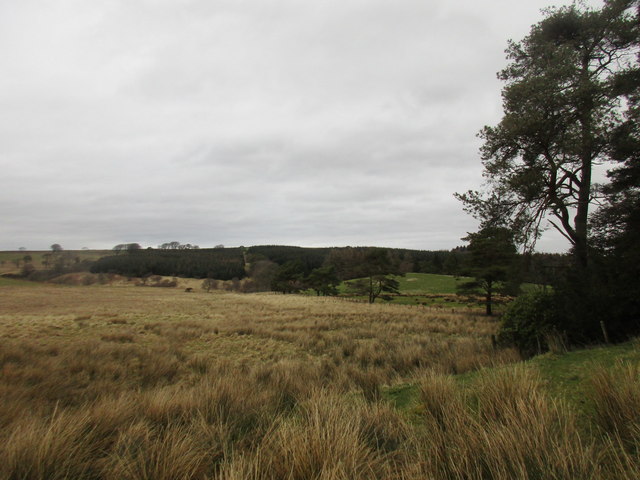
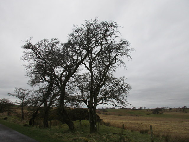
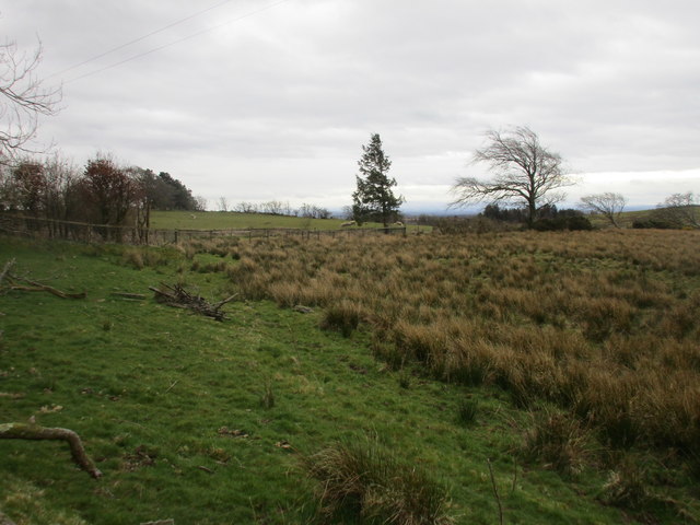
Allfornought Hill is a prominent landmark located in the region of Dumfriesshire, Scotland. Situated in the Southern Uplands, it stands at an elevation of approximately 619 meters (2,031 feet) above sea level, making it one of the notable hills in the area. The hill is part of the Moffat Hills range and is surrounded by picturesque countryside, offering breathtaking views of the surrounding landscape.

The name "Allfornought" is believed to have originated from the Scottish Gaelic term "A' Choille Fuaranach," meaning "the cold wood." This name is likely a reference to the dense woodlands that once covered the hill's slopes. Today, the hill is characterized by its open moorland, heather-covered slopes, and rocky outcrops.

Allfornought Hill is a popular destination for hikers, nature enthusiasts, and photographers due to its accessibility and stunning vistas. Several walking routes traverse the hill, providing visitors with the opportunity to explore its diverse flora and fauna. The area is home to various wildlife species, including red grouse, mountain hares, and birds of prey.

From the summit of Allfornought Hill, visitors can enjoy panoramic views of the surrounding hills, valleys, and lochs, including the picturesque Loch Skene. On clear days, it is even possible to catch a glimpse of the distant Lake District in England.

Overall, Allfornought Hill in Dumfriesshire offers a unique and rewarding experience for those seeking natural beauty, tranquility, and outdoor adventure in the heart of Scotland's Southern Uplands.

If you have any feedback on the listing, please let us know in the comments section below.

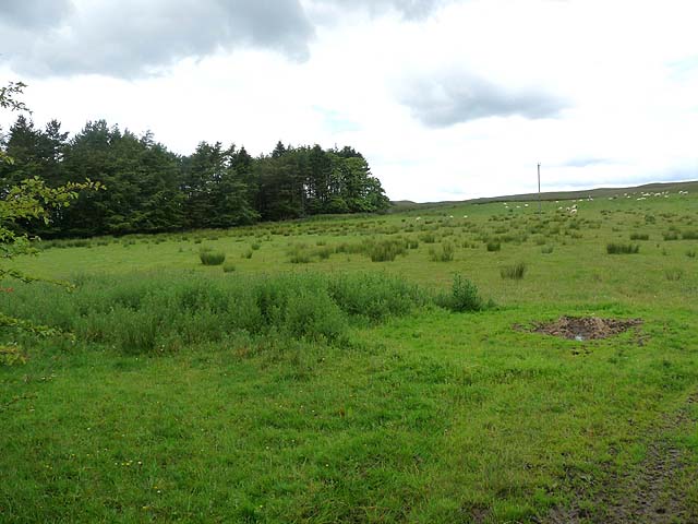
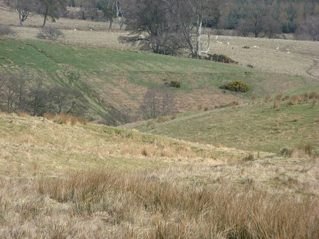
Allfornought Hill Images

Images are sourced within 2km of 55.097381/-3.0956691 or Grid Reference NY3078. Thanks to Geograph Open Source API. All images are credited.

View towards Scout Wood Looking over largely rough grazing.
View towards Scout Wood
Looking over largely rough grazing.
Twisted trees, Solwaybank Trees by the roadside in a landscape dominated by rough grazing.
Twisted trees, Solwaybank
Trees by the roadside in a landscape dominated by rough grazing.
Rough grazing, Solwaybank
Former tollhouse Surveyed by the Milestone Society.  On a very minor road north east from Kirtlebridge towards Langholm.  This former tollhouse, called Barr House, is just west of Solway Bank at Turnpike Knowe.  This was on the route of the Annan to Langholm turnpike of 1777.
Former tollhouse
Surveyed by the Milestone Society. On a very minor road north east from Kirtlebridge towards Langholm. This former tollhouse, called Barr House, is just west of Solway Bank at Turnpike Knowe. This was on the route of the Annan to Langholm turnpike of 1777.
The trig point on Collin Hags At 255m with a flush bracket number S6562. The OS Explorer Map shows this trig as being exactly on the edge of the square.
The trig point on Collin Hags
At 255m with a flush bracket number S6562. The OS Explorer Map shows this trig as being exactly on the edge of the square.
Woodside Woodside lies beyond the valley of the Woodside Burn. Beyond the trees, the open moor rises to Leaheads Hill <a href="https://www.geograph.org.uk/gridref/NY3179">NY3179</a>.
Woodside
Woodside lies beyond the valley of the Woodside Burn. Beyond the trees, the open moor rises to Leaheads Hill NY3179.
Field near Pingle Farm Milestone Wood to the left.
Field near Pingle Farm
Milestone Wood to the left.
View towards Allfornought Rough grazing with some improved grassland in the distance near Allfornought.
View towards Allfornought
Rough grazing with some improved grassland in the distance near Allfornought.
Rough grazing near High Stenries
Wallacehall Wet ground at Wallacehall. View towards the young trees on High Muir.
Wallacehall
Wet ground at Wallacehall. View towards the young trees on High Muir.
Woodside Burn The flattish wet pastures are interrupted by the Woodside Burn which has dissected the plateau near Allfornaught.
Woodside Burn
The flattish wet pastures are interrupted by the Woodside Burn which has dissected the plateau near Allfornaught.
Allfornought Despairing farm name.
Allfornought
Despairing farm name.
Forestry fire break Viewed from the forest edge at Collin Hags.
Forestry fire break
Viewed from the forest edge at Collin Hags.
Moorland at Collin Hags A mixture of rough grazing and heather.
Moorland at Collin Hags
A mixture of rough grazing and heather.
Allfornought Hill Looking towards the forest's edge at the head of the Palling Burn from west of the top of the hill.
Allfornought Hill
Looking towards the forest's edge at the head of the Palling Burn from west of the top of the hill.
Forestry near Kirtleton A break in the plantation on the line of Conhess Sike.
Forestry near Kirtleton
A break in the plantation on the line of Conhess Sike.
Forestry near Kirtleton The forest occupies the entirety of this grid-square.
Forestry near Kirtleton
The forest occupies the entirety of this grid-square.
Track over marshy moorland Near Solwaybank Cottage.
Track over marshy moorland
Near Solwaybank Cottage.
Show me another place!

Allfornought Hill is located at Grid Ref: NY3078 (Lat: 55.097381, Lng: -3.0956691)

Unitary Authority: Dumfries and Galloway

Police Authority: Dumfries and Galloway

What 3 Words

///soda.arrives.stretcher. Near Langholm, Dumfries & Galloway

Related Wikis

Timpanheck

Timpanheck is a village in Annandale, Scottish Borders. == External links == Timpanheck in The Gazetteer for Scotland Geograph.org.uk

Glenzier

Glenzier (; see yogh for the unintuitive spelling) is a rural area in Dumfries and Galloway, Scotland. == See also == Scots dike and the Glenzier burn...

Wauchope Castle

Wauchope Castle was a castle located at Wauchope, in Dumfries and Galloway, Scotland. The castle was a stronghold of the Lindsay family. It was the caput...

Glencartholm

Glencartholm is a location in Dumfries and Galloway, southern Scotland, along the River Esk.The Glencartholm Volcanic Beds contain a Palaeozoic (specifically...

Eaglesfield, Dumfries and Galloway

Eaglesfield is a village in south east Dumfriesshire in the local authority area of Dumfries and Galloway, Scotland. == History == Eaglesfield is of ancient...
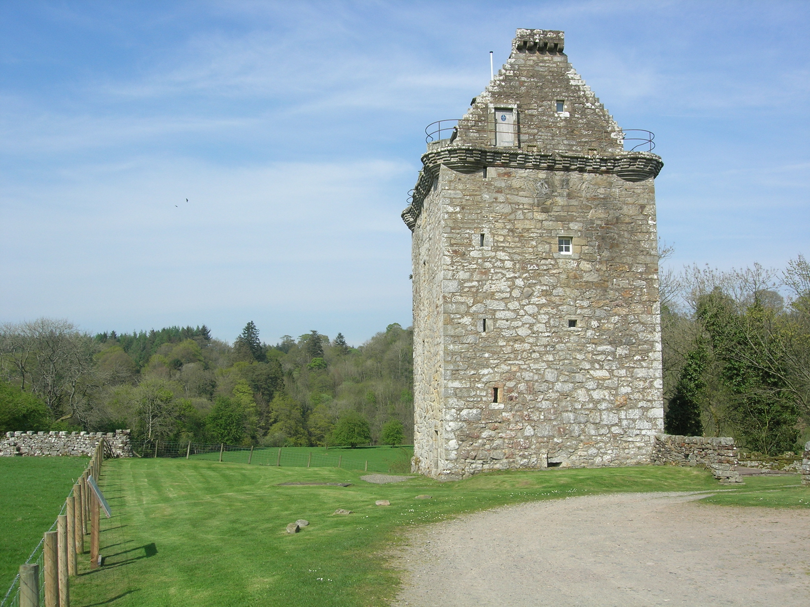
Gilnockie Tower

Gilnockie Tower is a 16th-century tower house, located at the hamlet of Hollows, 2.3 km north of Canonbie, in Dumfriesshire, south-west Scotland. The tower...

Battle of Arkinholm

The Battle of Arkinholm was fought on 1 May 1455, at Arkinholm near Langholm in Scotland, during the reign of King James II of Scotland. Although a small...

Langholm railway station

Langholm railway station served the burgh of Langholm, Dumfries and Galloway, Scotland from 1864 to 1967 on the Border Union Railway. == History == The...

Nearby Amenities

Located within 500m of 55.097381,-3.0956691
Allfornought Hill
Ele: 233
Munro: no
Natural: peak
Source: local, but height not yet confirmed by gps
Lat/Long: 55.0968264/-3.0963569
Generator Method: wind_turbine
Generator Output Electricity: 2 MW
Generator Source: wind
Generator Type: horizontal_axis
Manufacturer: Vestas
Model: V100
Power: generator
Lat/Long: 55.0987533/-3.0992356
The data included in this document is from www.openstreetmap.org. The data is made available under ODbL.

Have you been to Allfornought Hill?

Leave your review of Allfornought Hill below (or comments, questions and feedback).