Blea Rigg
Hill, Mountain in Westmorland South Lakeland
England
Blea Rigg

Blea Rigg is a prominent hill located in the county of Westmorland, within the Lake District National Park in northwest England. Standing at an elevation of 541 meters (1,775 feet), it forms part of the Central Fells range, which includes several other notable peaks such as Scafell Pike and Great Gable.
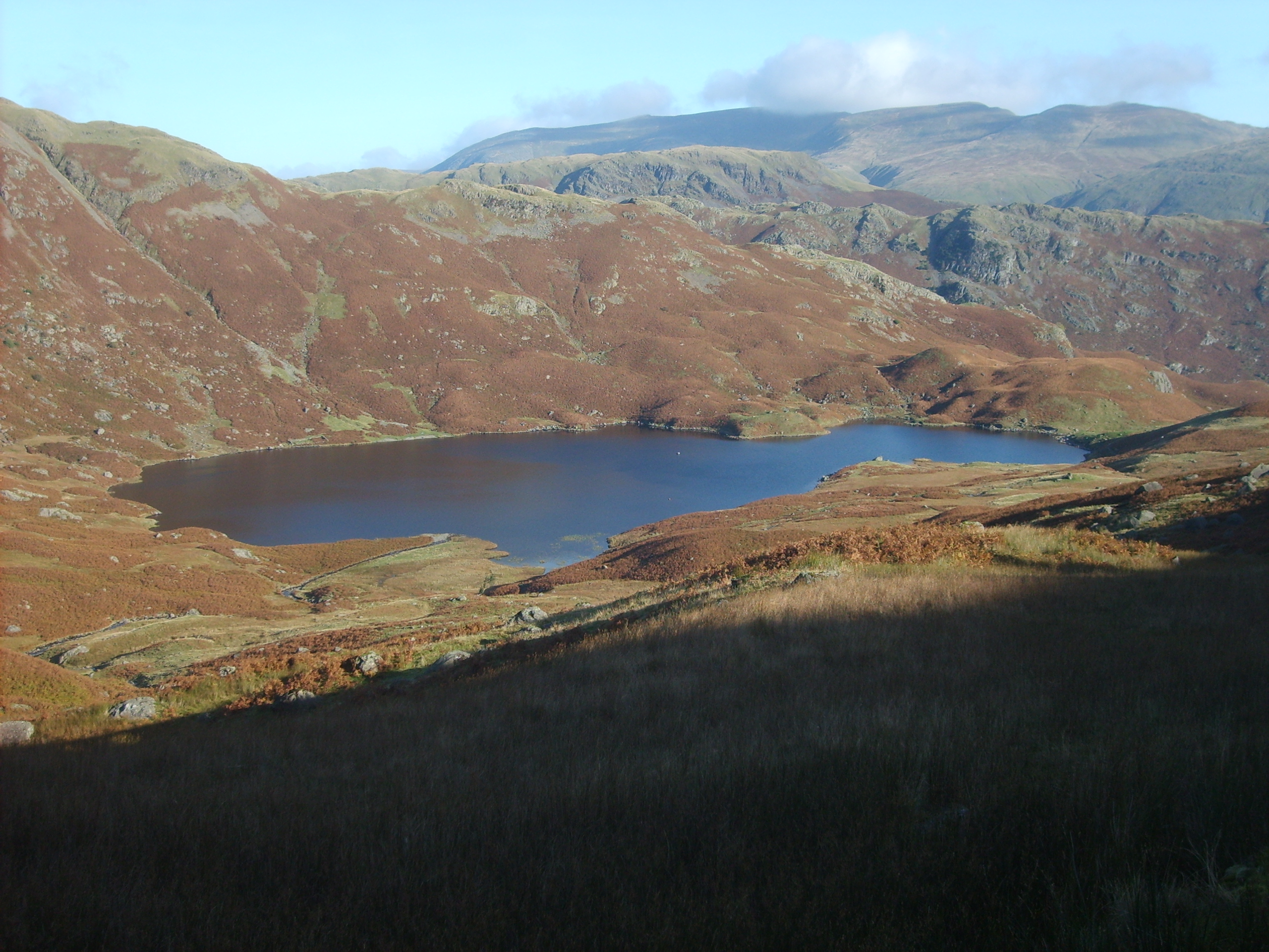
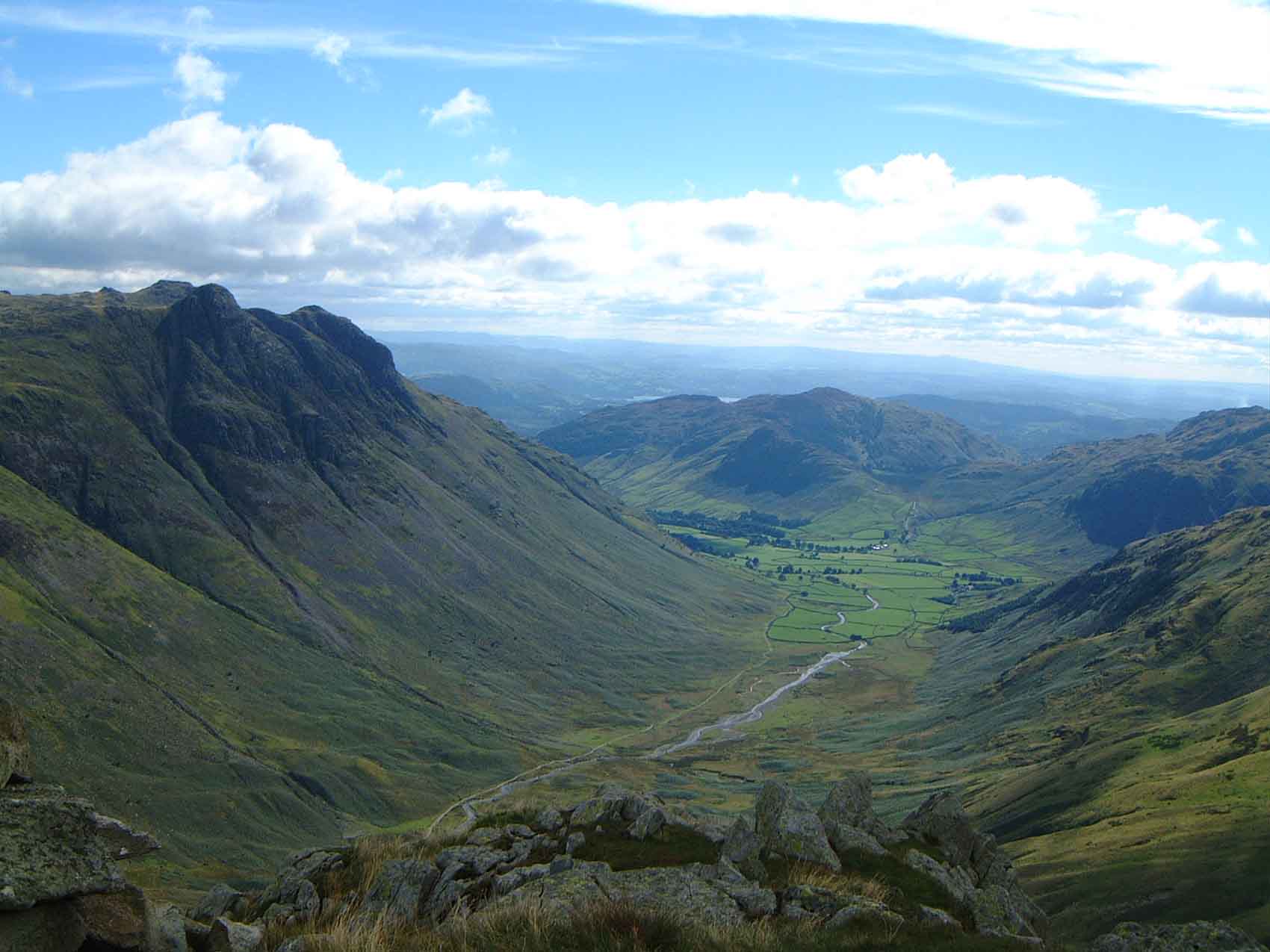
The hill is known for its distinctive shape and rocky appearance, with a long ridge extending from east to west. Its summit offers breathtaking panoramic views of the surrounding landscape, including the nearby Langdale Pikes, Bowfell, and the Coniston Fells.
Blea Rigg is a popular destination for hikers and outdoor enthusiasts, with various walking routes and trails leading to its peak. One of the most popular routes starts from the village of Grasmere, taking walkers through picturesque valleys and past charming tarns before ascending to the summit. The hike provides an opportunity to explore the diverse flora and fauna of the Lake District, including heather-covered moorland and rocky outcrops.
The hill's name, Blea Rigg, is derived from the Old Norse words "bleikr" and "hryggr," meaning "pale" and "ridge" respectively, which aptly describes its appearance. Blea Rigg is also associated with local legends and folklore, adding to its mystique and allure.
Whether it is for a challenging hike, a tranquil picnic spot, or simply to admire the stunning natural beauty of the Lake District, Blea Rigg offers a memorable experience for visitors of all ages and abilities.
If you have any feedback on the listing, please let us know in the comments section below.
Blea Rigg Images
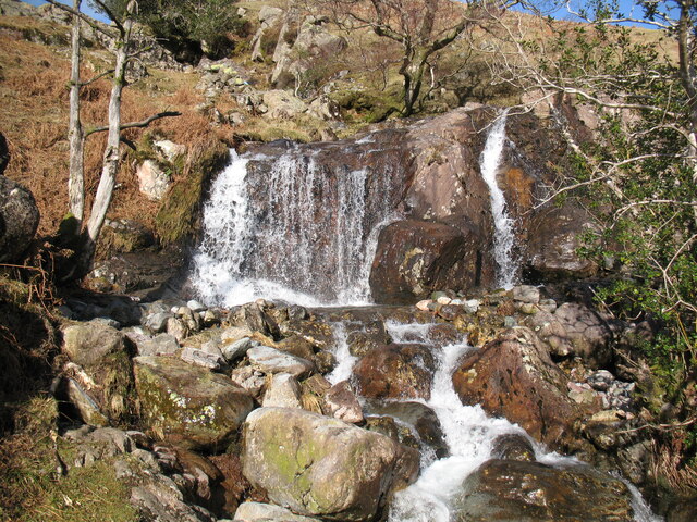
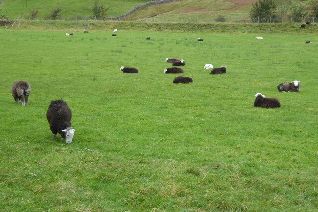
Images are sourced within 2km of 54.461008/-3.0788443 or Grid Reference NY3007. Thanks to Geograph Open Source API. All images are credited.


![Wall end The end of a dry stone wall but my interest is in the geology. See my blog ‘From Pyroclastic Flows to Lapilli Tuffs — Navigating the Langdale Pikes’. 2023. Out &amp; About ... &lt;<span class="nowrap"><a title="http://www.fhithich.uk/?p=33150&gt;" rel="nofollow ugc noopener" href="http://www.fhithich.uk/?p=33150&gt;">Link</a><img style="margin-left:2px;" alt="External link" title="External link - shift click to open in new window" src="https://s1.geograph.org.uk/img/external.png" width="10" height="10"/></span> [accessed 16 September 2023]
](https://s2.geograph.org.uk/geophotos/07/59/84/7598490_8bae3efb.jpg)
![Close up of pyroclastic rock See my blog ‘From Pyroclastic Flows to Lapilli Tuffs — Navigating the Langdale Pikes’. 2023. Out &amp; About ... &lt;<span class="nowrap"><a title="http://www.fhithich.uk/?p=33150&gt;" rel="nofollow ugc noopener" href="http://www.fhithich.uk/?p=33150&gt;">Link</a><img style="margin-left:2px;" alt="External link" title="External link - shift click to open in new window" src="https://s1.geograph.org.uk/img/external.png" width="10" height="10"/></span> [accessed 16 September 2023]](https://s1.geograph.org.uk/geophotos/07/59/84/7598493_d1230887.jpg)
![Bedded lapilli tufts See my blog ‘From Pyroclastic Flows to Lapilli Tuffs — Navigating the Langdale Pikes’. 2023. Out &amp; About ... &lt;<span class="nowrap"><a title="http://www.fhithich.uk/?p=33150&gt;" rel="nofollow ugc noopener" href="http://www.fhithich.uk/?p=33150&gt;">Link</a><img style="margin-left:2px;" alt="External link" title="External link - shift click to open in new window" src="https://s1.geograph.org.uk/img/external.png" width="10" height="10"/></span> [accessed 16 September 2023]](https://s2.geograph.org.uk/geophotos/07/59/84/7598494_4390f2ca.jpg)


Blea Rigg is located at Grid Ref: NY3007 (Lat: 54.461008, Lng: -3.0788443)
Administrative County: Cumbria
District: South Lakeland
Police Authority: Cumbria
What 3 Words
///golden.dined.bundles. Near Ambleside, Cumbria
Nearby Locations
Related Wikis

Blea Rigg
Blea Rigg is a fell in the English Lake District, lying between the valleys of Easedale and Great Langdale. One of the Central Fells, it is a broad plateau...
Easedale Tarn
Easedale Tarn is a tarn in the centre of the English Lake District, about two miles west of the village of Grasmere. It lies in a hollow between Tarn Crag...

Tarn Crag (Easedale)
Tarn Crag is a fell in the Central Fells of the English Lake District. Strictly the name refers only to the rock face looking down upon Easedale Tarn,...
Great Langdale
Great Langdale is a valley in the Lake District National Park in North West England, the epithet, "Great" distinguishing it from the neighbouring valley...
Nearby Amenities
Located within 500m of 54.461008,-3.0788443Have you been to Blea Rigg?
Leave your review of Blea Rigg below (or comments, questions and feedback).