Black Hill
Hill, Mountain in Angus
Scotland
Black Hill
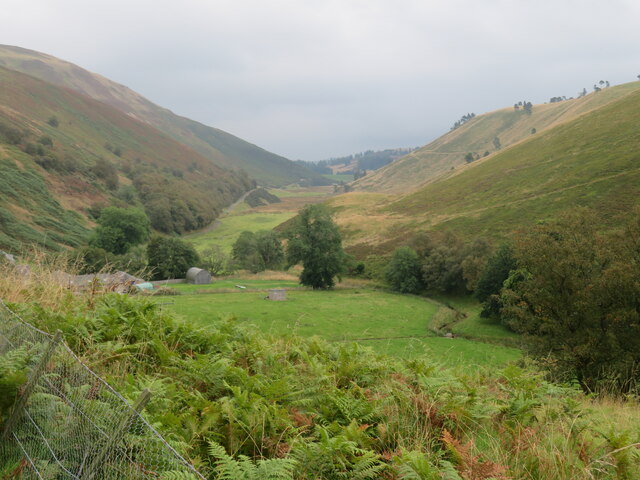
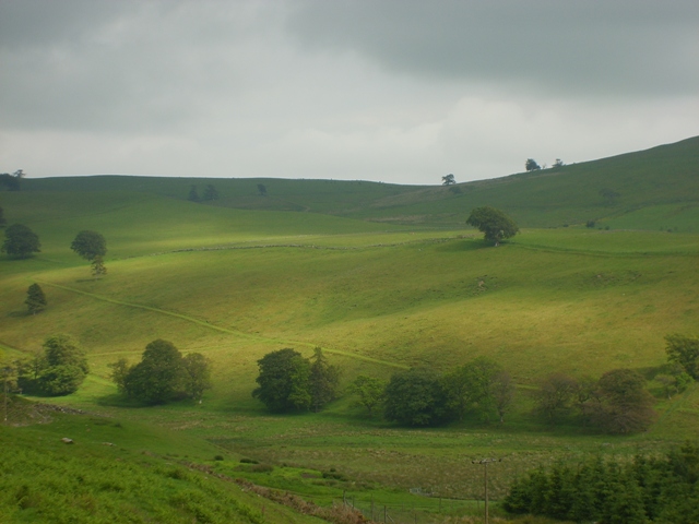
Black Hill is a prominent hill located in the county of Angus, Scotland. Standing at an impressive height of 384 meters (1,260 feet), it is a notable landmark within the region. Situated near the village of Auchterhouse, Black Hill offers breathtaking panoramic views of the surrounding countryside, making it a popular destination for hikers, nature enthusiasts, and photographers.
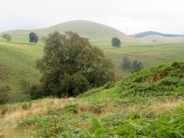
The hill is predominantly composed of rugged heather moorland, which adds to its natural charm and provides a habitat for a diverse range of flora and fauna. Visitors can expect to encounter a variety of bird species, such as golden eagles, ospreys, and peregrine falcons, as well as mammals like red deer and mountain hares.
Access to Black Hill is facilitated by a network of well-maintained footpaths and trails, allowing visitors to explore the area at their own pace. The ascent to the summit is relatively moderate, making it suitable for individuals of varying fitness levels. At the top, one can appreciate the breathtaking vistas stretching across the Angus Glens, Dundee, and even as far as the Firth of Tay.
Black Hill also holds historical significance, with remains of prehistoric settlements and ancient burial sites scattered throughout its slopes. These remnants provide valuable insights into the region's rich cultural heritage.
Overall, Black Hill in Angus offers a unique opportunity to immerse oneself in the untamed beauty of the Scottish countryside, offering a memorable experience for all who venture to its summit.
If you have any feedback on the listing, please let us know in the comments section below.
Black Hill Images
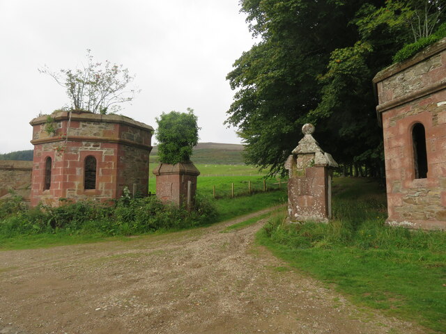
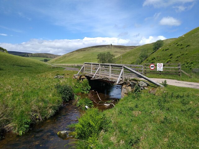
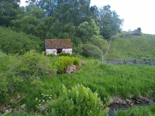
Images are sourced within 2km of 56.717414/-3.1429885 or Grid Reference NO3058. Thanks to Geograph Open Source API. All images are credited.


Black Hill is located at Grid Ref: NO3058 (Lat: 56.717414, Lng: -3.1429885)
Unitary Authority: Angus
Police Authority: Tayside
What 3 Words
///valuables.treat.distract. Near Kirriemuir, Angus
Nearby Locations
Related Wikis

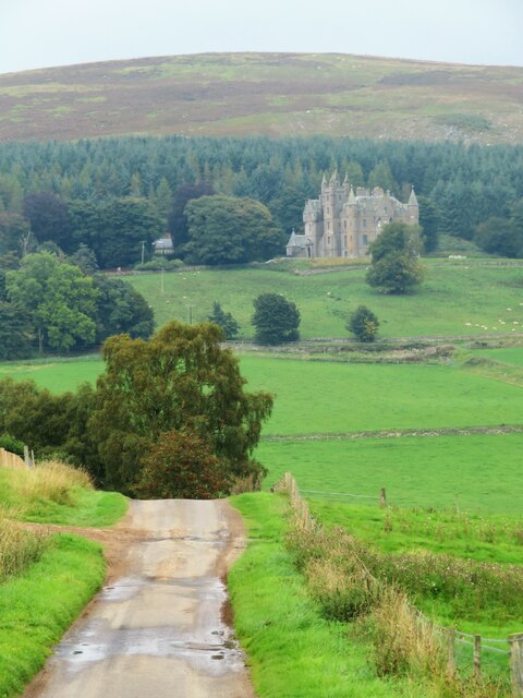
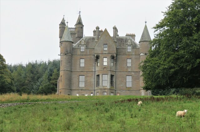
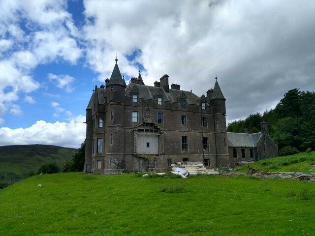
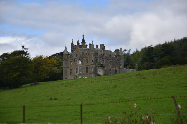
Balintore Castle
Balintore Castle is a Victorian Category A listed building in Scotland. The castle occupies an elevated site in moorland above Balintore village, a few...
Balintore, Angus
Balintore (Scottish Gaelic: Baile an Todhair) is a village in Angus, Scotland. It lies in Glen Isla, four miles north of the Loch of Lintrathen and seven...

Cat Law
Cat Law (671 m) is a hill in the southern Mounth of Scotland, north of Kirriemuir in Angus. A rounded peak, it lies above Strathmore in the south and offers...

Ascreavie
Ascreavie is a country house in Angus, Scotland. It is located 2 kilometres (1.2 mi) north of Kirkton of Kingoldrum, and 6 kilometres (3.7 mi) north-west...
Have you been to Black Hill?
Leave your review of Black Hill below (or comments, questions and feedback).