Broom Hill
Hill, Mountain in Fife
Scotland
Broom Hill
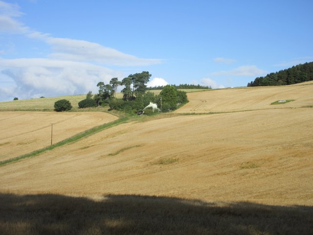
Broom Hill is a prominent landmark located in Fife, Scotland. It is classified as a hill rather than a mountain, as it stands at a height of approximately 190 meters (620 feet) above sea level. This hill is situated just 2 miles north of the town of Dunfermline, making it easily accessible for locals and visitors alike.
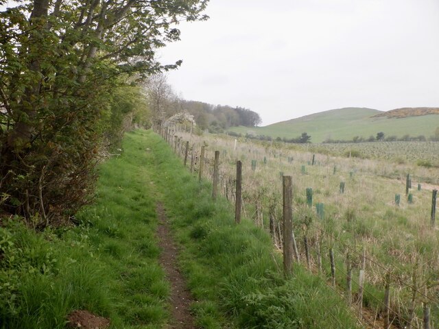
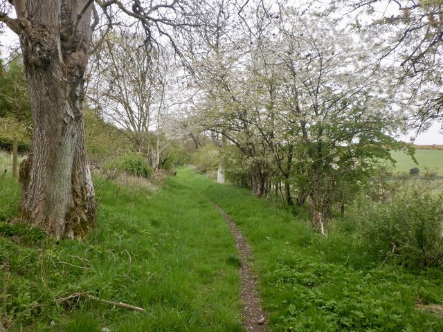
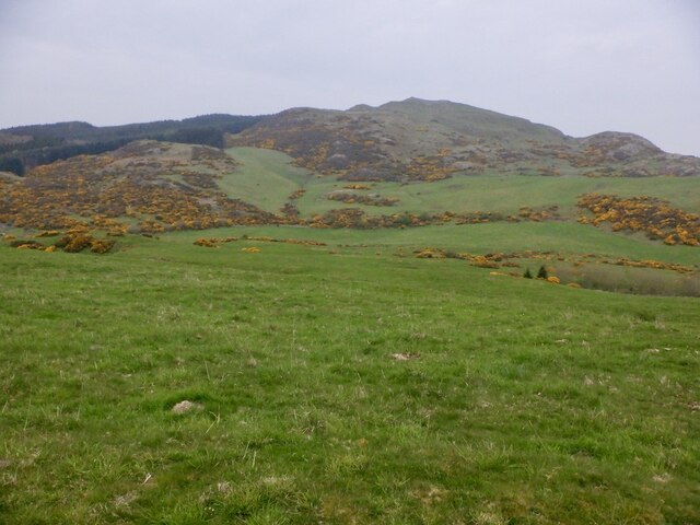
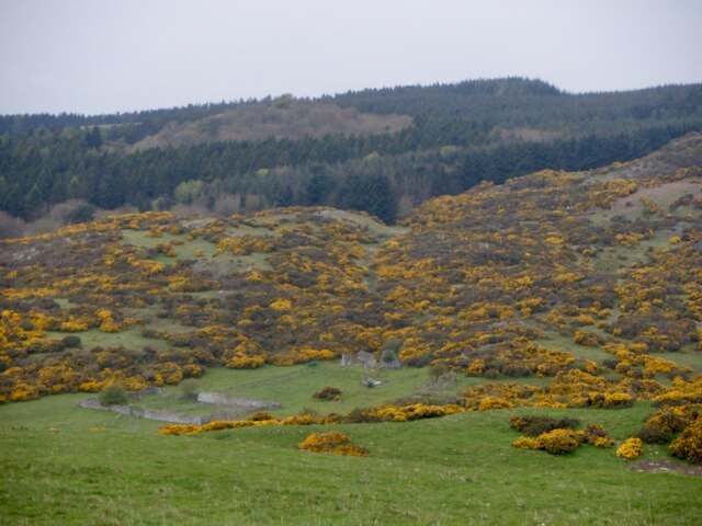
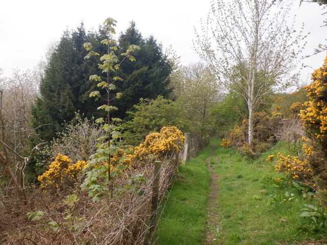
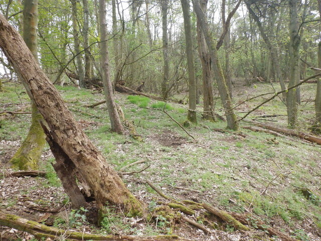
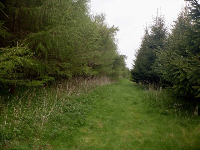
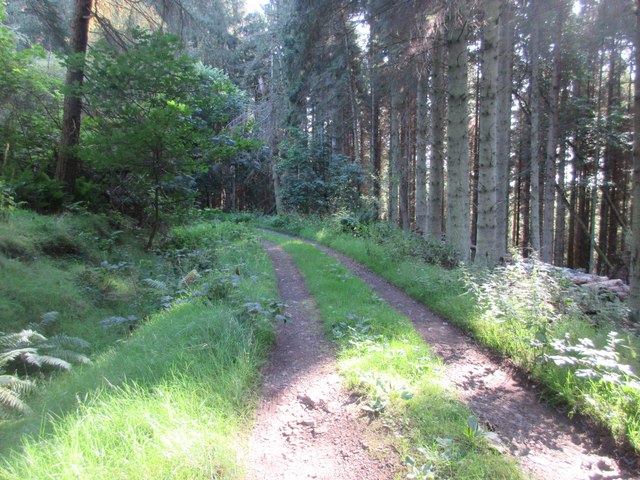
Broom Hill is known for its picturesque views and stunning natural beauty. The hill is covered in a mix of grassland and heather, creating a colorful landscape that changes with the seasons. It is a popular destination for hikers and nature enthusiasts who seek to explore the surrounding countryside.
At the top of Broom Hill, there is a trig point that offers panoramic views of the surrounding area. On a clear day, visitors can enjoy breathtaking vistas of the Firth of Forth, the Ochil Hills, and even glimpses of the city of Edinburgh in the distance. It is a perfect spot for photographers and those seeking a peaceful escape from the hustle and bustle of everyday life.
Broom Hill also has historical significance, as it is believed to have been used as a site for ceremonial gatherings in ancient times. Archaeological findings suggest that it may have been a place of worship or a hill fort. Today, visitors can still see remnants of these ancient structures, adding an extra layer of intrigue to the hill's appeal.
Overall, Broom Hill offers a delightful blend of natural beauty, historical significance, and breathtaking views, making it a must-visit destination for anyone exploring the Fife region of Scotland.
If you have any feedback on the listing, please let us know in the comments section below.
Broom Hill Images
Images are sourced within 2km of 56.356575/-3.1371683 or Grid Reference NO2918. Thanks to Geograph Open Source API. All images are credited.


Broom Hill is located at Grid Ref: NO2918 (Lat: 56.356575, Lng: -3.1371683)
Unitary Authority: Fife
Police Authority: Fife
What 3 Words
///lamppost.drill.recently. Near Errol, Perth & Kinross
Nearby Locations
Related Wikis

Norman's Law
Norman's Law is a prominent hill at the far eastern end of the Ochil Fault, Scotland. It sits above the south bank of the River Tay, around four miles...

Collairnie Castle
Collairnie Castle is an L-plan castle in Dunbog, Fife, Scotland. The castle was extended in the 16th century, with a wing added of 4 storeys with an attic...

Parbroath Castle
Parbroath Castle is a ruined castle which was the former seat of Clan Seton near Parbroath farm, Creich, Fife, Scotland. Only a portion of a vault standing...
Dunbog
Dunbog is a parish in the county of Fife in Scotland which is now (since 1983) united with the neighbouring parish of Abdie, Dunbog kirk closing at that...

Lindores railway station
Lindores railway station served the village of Lindores, Fife, Scotland from 1909 to 1951 on the Newburgh and North Fife Railway. == History == The station...

Luthrie
Luthrie is a village in the parish of Creich in Fife, Scotland. A small stream shown on maps as Windygates Burn (but known locally as Luthrie Burn) flows...

Luthrie railway station
Luthrie railway station served the village of Luthrie, Fife, Scotland from 1909 to 1951 on the Newburgh and North Fife Railway. == History == The station...

Lindores
Lindores is a small village in Fife, Scotland, in the parish of Abdie, about 2 miles south-east of Newburgh. It is situated on the north-east shore of...
Nearby Amenities
Located within 500m of 56.356575,-3.1371683Have you been to Broom Hill?
Leave your review of Broom Hill below (or comments, questions and feedback).