Blue Hill

Hill, Mountain in Banffshire

Scotland

Blue Hill

Railway Bridge The bridge carried the Strathspey Railway over a minor burn.
Railway Bridge Credit: Anne Burgess

Blue Hill is a prominent mountain located in the Banffshire region of Scotland. With an elevation of approximately 1,164 meters (3,819 feet), it is a popular destination for hikers and outdoor enthusiasts seeking breathtaking views and challenging terrain.

Situated near the village of Glass, Blue Hill is part of the picturesque Cairngorms National Park. It offers stunning vistas of the surrounding landscape, including the nearby River Spey and the towering peaks of the Cairngorms mountain range. The mountain boasts a distinctive blue-gray hue, which is believed to be the result of the presence of granite and schist rocks.

The ascent of Blue Hill can be accessed from various routes, with the most popular being the path that starts from the Glenlivet Estate. The trail is well-marked and offers a mix of gradual inclines and steeper sections, providing a moderate challenge for experienced hikers. Along the way, walkers can encounter diverse flora and fauna, including heather, juniper, and various bird species.

Reaching the summit of Blue Hill rewards adventurers with panoramic views of the surrounding area, stretching as far as the Moray Firth and the Grampian Mountains. On clear days, it is even possible to catch sight of the distant peaks of Ben Rinnes and Lochnagar.

Blue Hill is a true gem of the Banffshire region, attracting visitors from near and far who are drawn to its natural beauty and the sense of accomplishment that comes with conquering its slopes.

If you have any feedback on the listing, please let us know in the comments section below.
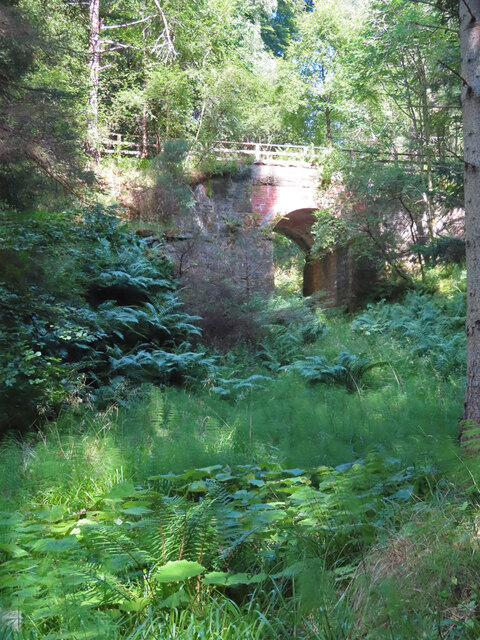
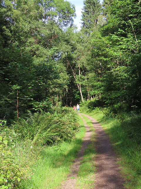
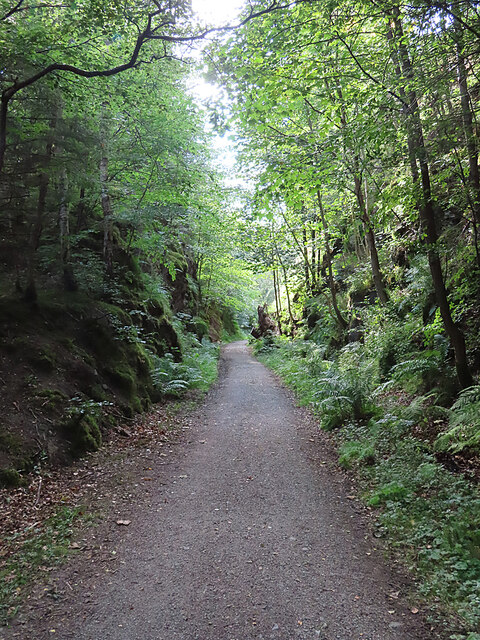
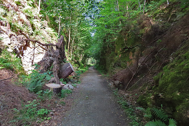
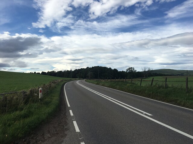
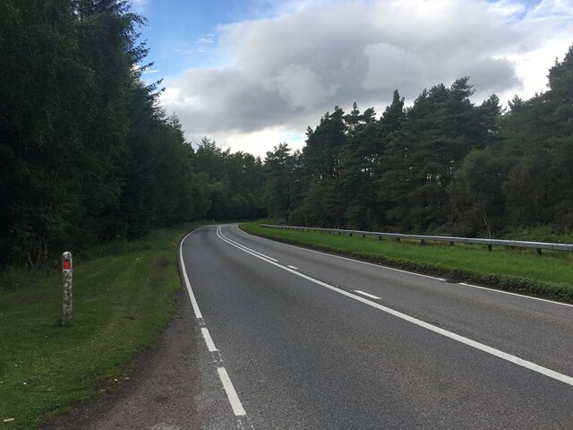
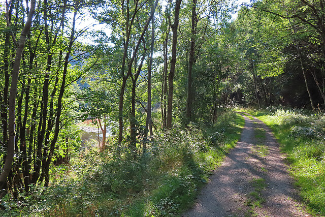
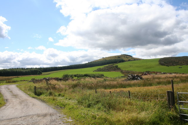
Blue Hill Images

Images are sourced within 2km of 57.470709/-3.1722146 or Grid Reference NJ2942. Thanks to Geograph Open Source API. All images are credited.

Railway Bridge The bridge carried the Strathspey Railway over a minor burn.
Railway Bridge
The bridge carried the Strathspey Railway over a minor burn.
Former Strathspey Railway The route of the former Strathspey Railway is now a popular path and cycle track.
Former Strathspey Railway
The route of the former Strathspey Railway is now a popular path and cycle track.
Old Railway Cutting One of several deep cuttings on the route of the former Strathspey Railway that provide a pleasant shady walk on a hot day.
Old Railway Cutting
One of several deep cuttings on the route of the former Strathspey Railway that provide a pleasant shady walk on a hot day.
Fallen Tree The stump of a large tree sticks out at an angle into the former Strathspey Railway cutting. It must have obstructed the path significantly before being sawn into lengths which have been left lying on both sides of the path. The large one on the left gives some idea of the diameter of the trunk.
Fallen Tree
The stump of a large tree sticks out at an angle into the former Strathspey Railway cutting. It must have obstructed the path significantly before being sawn into lengths which have been left lying on both sides of the path. The large one on the left gives some idea of the diameter of the trunk.
A941 towards Craigellachie
Former Strathspey Railway A stretch of the former Strathspey Railway path from which there is a glimpse of the River Fiddich.
Former Strathspey Railway
A stretch of the former Strathspey Railway path from which there is a glimpse of the River Fiddich.
Country Track A farm track by Midtown of Buchromb behind is the hill ,Knock of Buchromb.
Country Track
A farm track by Midtown of Buchromb behind is the hill ,Knock of Buchromb.
Ripening Field Grain maturing by Midtown of Buchromb.
Ripening Field
Grain maturing by Midtown of Buchromb.
Midtown of Buchromb The tree sheltered farm of Midtown of Buchromb by the A941.
Midtown of Buchromb
The tree sheltered farm of Midtown of Buchromb by the A941.
Autumn Trees The broadleaved tree to the left of the path has lost its foliage, but the larches still have their needles, tinted red-gold by late sunshine.
Autumn Trees
The broadleaved tree to the left of the path has lost its foliage, but the larches still have their needles, tinted red-gold by late sunshine.
Knock of Buchromb The plan was to walk the 250 metres or so north here to get into the next square. The discovery that the 250 metres or so was largely overgrown with whins (gorse) caused a very swift rethink. I have already learned that lesson while pursuing squares for Geograph!
Knock of Buchromb
The plan was to walk the 250 metres or so north here to get into the next square. The discovery that the 250 metres or so was largely overgrown with whins (gorse) caused a very swift rethink. I have already learned that lesson while pursuing squares for Geograph!
Beside the Path Just beside the path between Aberlour and Dufftown, the moorland glows with autumn colour in the setting sun.
Beside the Path
Just beside the path between Aberlour and Dufftown, the moorland glows with autumn colour in the setting sun.
Midtown of Buchromb The farm buildings are beside the A941 north of Dufftown.
Midtown of Buchromb
The farm buildings are beside the A941 north of Dufftown.
Midtown of Buchromb On this side of the A941, opposite the farm buildings, is a woodyard.
Midtown of Buchromb
On this side of the A941, opposite the farm buildings, is a woodyard.
Stubble at Buchromb Rolling fields, the crop and straw gathered in. Buchromb is hidden among the trees beyond the field.
Stubble at Buchromb
Rolling fields, the crop and straw gathered in. Buchromb is hidden among the trees beyond the field.
Knock of Buchromb Looking up to the Knock from the fields near Midtown of Buchromb.
Knock of Buchromb
Looking up to the Knock from the fields near Midtown of Buchromb.
Spring Croft The two cottages at Spring Croft look quite remote from this viewpoint, but in fact they stand right beside the A941. Part of the Buchromb woods is on the hill beyond, and Ben Aigen dominates the skyline.
Spring Croft
The two cottages at Spring Croft look quite remote from this viewpoint, but in fact they stand right beside the A941. Part of the Buchromb woods is on the hill beyond, and Ben Aigen dominates the skyline.
Show me another place!

Blue Hill is located at Grid Ref: NJ2942 (Lat: 57.470709, Lng: -3.1722146)

Unitary Authority: Moray

Police Authority: North East

What 3 Words

///surging.snored.escalates. Near Charlestown of Aberlour, Moray

Related Wikis

Speyside Cooperage

The Speyside Cooperage is a cooperage located in Craigellachie, Aberlour, Scotland. Its visitor centre, the only such in Britain, is part of the Malt Whisky...

Strathspey, Scotland

Strathspey (Scottish Gaelic: Srath Spè, [s̪t̪ɾa ˈs̪peː]) is the region around the strath of the River Spey, Scotland, split between the Moray council area...

Aberlour House (building)

Aberlour House is a country house near Aberlour in Moray, Scotland. It was built in 1838 by William Robertson for Alexander Grant, planter and merchant...

Craigellachie distillery

Craigellachie distillery is a single malt Scotch whisky distillery in the village of Craigellachie at the centre of the Speyside whisky producing area...

Nearby Amenities

Located within 500m of 57.470709,-3.1722146
Blue Hill
Ele: 324
Natural: peak
Lat/Long: 57.4708843/-3.1722254
The data included in this document is from www.openstreetmap.org. The data is made available under ODbL.

Have you been to Blue Hill?

Leave your review of Blue Hill below (or comments, questions and feedback).