Carn na Bruar

Hill, Mountain in Banffshire

Scotland

Carn na Bruar

Black Corrie A corrie whose burn drains the south side of Cook's Cairn.
Black Corrie Credit: Anne Burgess

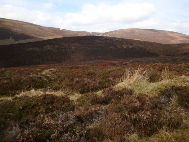
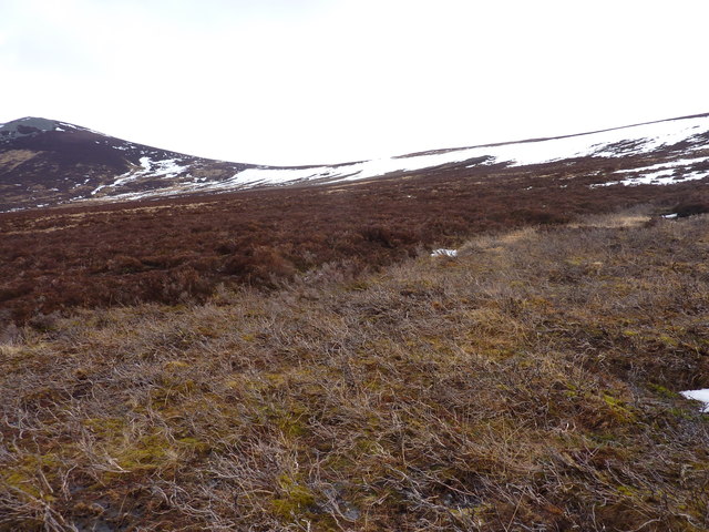
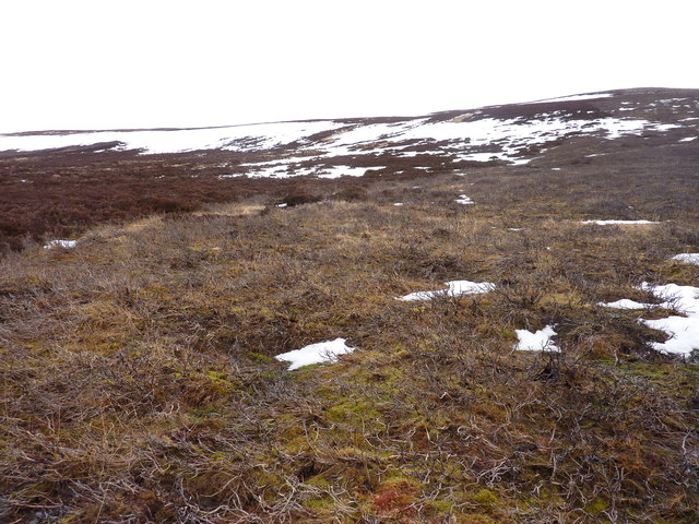
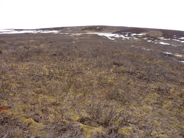
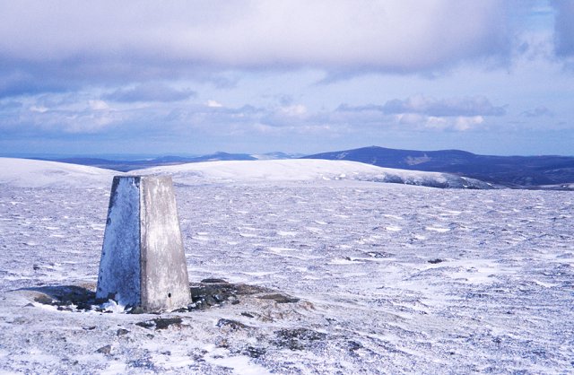
Carn na Bruar is a prominent hill located in the region of Banffshire, Scotland. Standing at an elevation of 827 meters (2,713 feet), it dominates the landscape with its distinct rocky summit. The hill is situated within the eastern section of the Grampian Mountains, offering breathtaking views of the surrounding countryside.

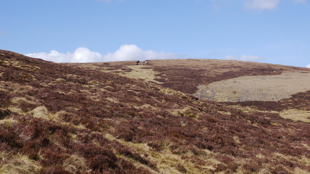
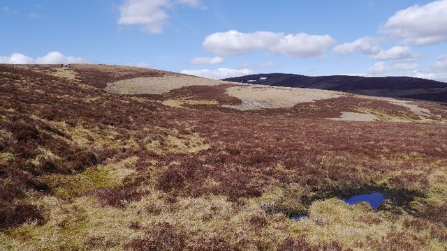
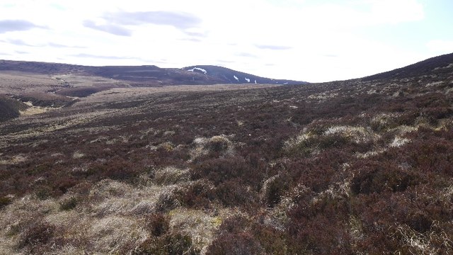
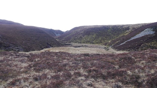
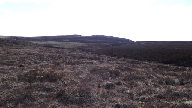
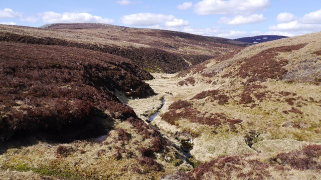
Carn na Bruar is characterized by its steep slopes covered in heather, grass, and scattered boulders. The ascent to the summit can be challenging, but it is well worth the effort for the panoramic vistas it rewards climbers with. On a clear day, one can admire the expansive views stretching across the Cairngorms National Park, the Moray Firth, and the picturesque towns and villages nestled below.

The hill is a popular destination for hikers and mountaineers who seek adventure and natural beauty. Its accessibility from nearby towns, such as Tomintoul and Ballindalloch, makes it a favorite spot for outdoor enthusiasts. Many choose to explore the area on foot, following well-established paths and trails that wind through the diverse terrain.

Wildlife is abundant on Carn na Bruar, with various bird species and mammals inhabiting the slopes. Red deer, mountain hares, and ptarmigan are frequently spotted, adding to the allure of the hill.

Overall, Carn na Bruar offers a challenging yet rewarding experience for those seeking to immerse themselves in the stunning Scottish Highlands. Its rugged beauty, coupled with its position within the Grampian Mountains, makes it a must-visit destination for nature lovers and avid adventurers.

If you have any feedback on the listing, please let us know in the comments section below.

Carn na Bruar Images

Images are sourced within 2km of 57.315559/-3.1795407 or Grid Reference NJ2925. Thanks to Geograph Open Source API. All images are credited.

Black Corrie A corrie whose burn drains the south side of Cook's Cairn.
Black Corrie
A corrie whose burn drains the south side of Cook's Cairn.
Dorenell Wind Farm The route of the Steplar Way through the wind farm is preserved and waymarked, and involves frequent crossings of the roads to the various turbines. There's not a lot of traffic, of course.
Dorenell Wind Farm
The route of the Steplar Way through the wind farm is preserved and waymarked, and involves frequent crossings of the roads to the various turbines. There's not a lot of traffic, of course.
Track and scorched heather Track leading towards Craig Roy
Track and scorched heather
Track leading towards Craig Roy
Tor of Suie A scorched Tor of Suie from the track
Tor of Suie
A scorched Tor of Suie from the track
The track to Cook's Cairn
The lower slopes of Carn na Bruar Grouse moorland here, with large area burnt. There is a gate in the deer fence  at NJ 288 241 if you want get up here.
The lower slopes of Carn na Bruar
Grouse moorland here, with large area burnt. There is a gate in the deer fence at NJ 288 241 if you want get up here.
Unnamed 571m top south-east of Carn na Bruar Still plenty of old snow in early March
Unnamed 571m top south-east of Carn na Bruar
Still plenty of old snow in early March
Typical East of Scotland grouse moor Here burnt to allow young heather to grow
Typical East of Scotland grouse moor
Here burnt to allow young heather to grow
East side of Carn na Bruar As I was convalescing, getting this far up Carn na Bruar was a triumph.  The good news was that the underfoot conditions were easy.  There is a line of grouse butts here, all with a pile of cartridge cases as there seems to be a littering is OK ethos here.
East side of Carn na Bruar
As I was convalescing, getting this far up Carn na Bruar was a triumph. The good news was that the underfoot conditions were easy. There is a line of grouse butts here, all with a pile of cartridge cases as there seems to be a littering is OK ethos here.
East side of Carn na Bruar The Blackwater Forest, a large area of heather moorland between Glen Livet and the Cabrach.
East side of Carn na Bruar
The Blackwater Forest, a large area of heather moorland between Glen Livet and the Cabrach.
Moorland, Ladder Hills Deep in the Blackwater Forest, looking towards some meltwater features.
Moorland, Ladder Hills
Deep in the Blackwater Forest, looking towards some meltwater features.
Lochs of Allt na Craoibhe-caorainn Marked as a lochan, this marshy ground lies in a meltwater channel.
Lochs of Allt na Craoibhe-caorainn
Marked as a lochan, this marshy ground lies in a meltwater channel.
Black Ditch Burn in the Blackwater Forest. It attempts to drain peaty uplands in the northern part of the Ladder Hills.
Black Ditch
Burn in the Blackwater Forest. It attempts to drain peaty uplands in the northern part of the Ladder Hills.
Starry Burn The Starry Burn on the way to the Allt na Craoibhe-Caorainn and Black Water.
Starry Burn
The Starry Burn on the way to the Allt na Craoibhe-Caorainn and Black Water.
Steplar Way The route of the Steplar Way has been preserved and upgraded where it passes through the Dorenell Wind Farm.
Steplar Way
The route of the Steplar Way has been preserved and upgraded where it passes through the Dorenell Wind Farm.
Cloud over the Steplar Burn Banks of cloud were constantly swirling and dispersing around the wind turbines on either side of the Steplar Burn.
Cloud over the Steplar Burn
Banks of cloud were constantly swirling and dispersing around the wind turbines on either side of the Steplar Burn.
Burn in Black Corrie Not much water in the burn that drains the south slope of Cook's Cairn.
Burn in Black Corrie
Not much water in the burn that drains the south slope of Cook's Cairn.
Stream crossing A tributary to Allt na Craoibhe caorainn as it crosses the track across Black Corrie on Cook's Cairn
Stream crossing
A tributary to Allt na Craoibhe caorainn as it crosses the track across Black Corrie on Cook's Cairn
Show me another place!

Carn na Bruar is located at Grid Ref: NJ2925 (Lat: 57.315559, Lng: -3.1795407)

Unitary Authority: Moray

Police Authority: North East

What 3 Words

///pianists.events.excuse. Near Dufftown, Moray

Nearby Locations

Carn na Bruar

Related Wikis

Battle of Glenlivet

The Battle of Glenlivet was a Scottish clan battle fought on 3 October 1594 near Glenlivet, Moray, Scotland. It was fought between Protestant forces loyal...

Braeval distillery

Braeval distillery is a distiller of Scotch whisky in Chapeltown, Banffshire, Scotland. Founded in 1973 as Braes of Glenlivet, the distillery is owned...

Church of The Incarnation, Tombae

The Church of The Incarnation was built between 1827 and 1829 as a Roman Catholic church, under the patronage of the Gordon family, in Banffshire, Scotland...

Clashnoir

Clashnoir is a settlement in Glenlivet, Moray, Scotland, 92 miles north of Edinburgh and 25 miles south of Elgin.

County of Moray

Moray; (Scottish Gaelic: Moireibh [ˈmɤɾʲəv]) or Morayshire, called Elginshire until 1919, is a historic county, registration county and lieutenancy area...

Scalan

The Scalan was once a seminary and was one of the few places in Scotland where the Roman Catholic faith was kept alive during the troubled times of the...

Càrn Mòr (Ladder Hills)

Càrn Mòr (804 m) is the highest mountain of the Ladder Hills on the border of Aberdeenshire and Moray, Scotland. It is located northeast of the Cairngorm...

Ladder Hills

The Ladder Hills (Scottish Gaelic: Monadh an Fhàraidh) are a range of hills in northeast Scotland which straddle the border between Aberdeenshire and Moray...

Nearby Amenities

Located within 500m of 57.315559,-3.1795407
Carin na Bruar
Ele: 683
Natural: peak
Lat/Long: 57.3155425/-3.178994
The data included in this document is from www.openstreetmap.org. The data is made available under ODbL.

Have you been to Carn na Bruar?

Leave your review of Carn na Bruar below (or comments, questions and feedback).