Hungerton

Settlement in Lincolnshire South Kesteven

England

Hungerton

Hungerton Hall, Hungerton Built in 1782-85 for the Gregory de Ligne family of Harlaxton fame. Local limestone. The Tuscan porch is a later addition. Although Pevsner states that only one of the original flanking pavilions remains - formerly the brewhouse - there appear to be two here. Grade II listed.
Hungerton Hall, Hungerton Credit: Stephen Richards

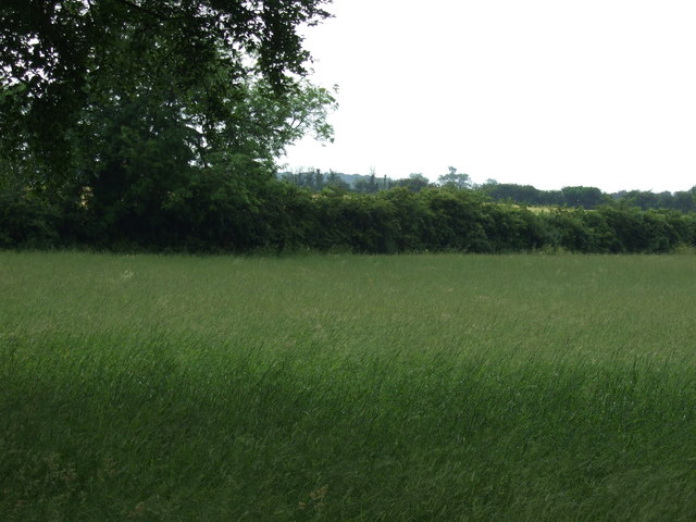
Hungerton is a small village located in the county of Lincolnshire, in the East Midlands region of England. Situated approximately 8 miles east of the city of Lincoln, it is nestled amidst the picturesque rural landscape that characterizes this part of the country. The village is part of the North Kesteven district and falls within the civil parish of Navenby.

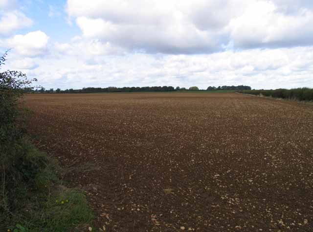
With a population of around 400 residents, Hungerton exudes a peaceful and close-knit community atmosphere. The village is predominantly residential, with a scattering of farmsteads and agricultural land surrounding it. The architecture of the village is a mix of traditional stone cottages and modern houses, reflecting its historical roots while accommodating contemporary living needs.

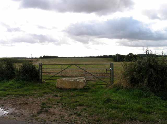
Despite its small size, Hungerton boasts a number of amenities for its residents. The village is home to a charming local pub, which serves as a gathering place for locals and visitors alike. Additionally, there is a village hall that hosts community events and meetings. For outdoor enthusiasts, the surrounding countryside offers ample opportunities for walking, cycling, and exploring the nearby woodland areas.

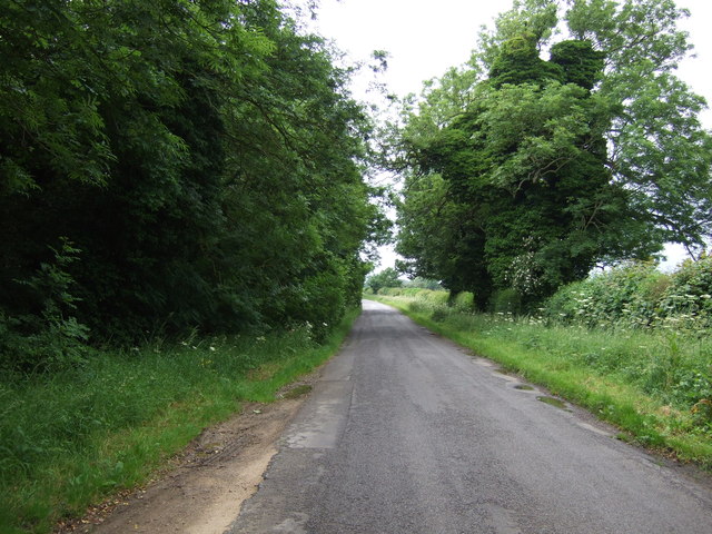
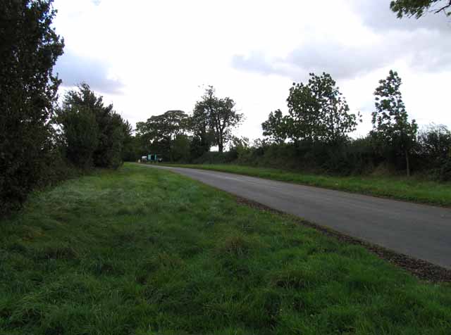
Hungerton is well-connected to the wider region via road networks. The A607 main road runs adjacent to the village, providing easy access to nearby towns and cities. The city of Lincoln, with its rich history, cultural attractions, and shopping centers, is just a short drive away.

In summary, Hungerton is a tranquil village in Lincolnshire, known for its tight-knit community, picturesque surroundings, and convenient location. It offers residents a peaceful rural lifestyle while being within reach of larger urban centers.

If you have any feedback on the listing, please let us know in the comments section below.
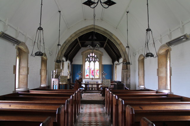
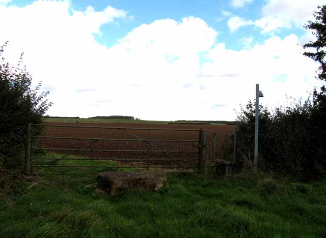
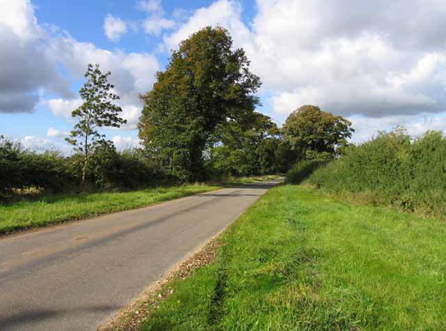
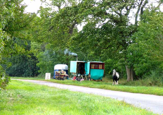
Hungerton Images

Images are sourced within 2km of 52.861489/-0.693909 or Grid Reference SK8830. Thanks to Geograph Open Source API. All images are credited.

Hungerton Hall, Hungerton Built in 1782-85 for the Gregory de Ligne family of Harlaxton fame. Local limestone. The Tuscan porch is a later addition. Although Pevsner states that only one of the original flanking pavilions remains - formerly the brewhouse - there appear to be two here. Grade II listed.
Hungerton Hall, Hungerton
Built in 1782-85 for the Gregory de Ligne family of Harlaxton fame. Local limestone. The Tuscan porch is a later addition. Although Pevsner states that only one of the original flanking pavilions remains - formerly the brewhouse - there appear to be two here. Grade II listed.
Farmland near Three Queens
Lane towards Croxton Kerrial
St Catherine's church. Wyville Grade II listed.
The church was built at the expense of George Gregory of Harlaxton in 1857, and the chancel in 1868. Also has a western bellcote, north porch and vestry.Plain interior.
St Catherine's church. Wyville
Grade II listed. The church was built at the expense of George Gregory of Harlaxton in 1857, and the chancel in 1868. Also has a western bellcote, north porch and vestry.Plain interior.
Interior, St Catherine's church, Wyville See <a href="https://www.geograph.org.uk/photo/3108732">SK8829 : St Catherine's church. Wyville</a>
Interior, St Catherine's church, Wyville
Footpath to Great Ponton
Heath Lane towards Hungarton
Knives sharpened It is interesting to note that the trees beyond the caravans are named "Gypsy Plantation".
Knives sharpened
It is interesting to note that the trees beyond the caravans are named "Gypsy Plantation".
Towards Great Ponton
Blocked gateway A chunk of ironstone to discourage entry to the field!
Blocked gateway
A chunk of ironstone to discourage entry to the field!
Fields south of Heath Lane Note how many small pieces of stone there are.
Fields south of Heath Lane
Note how many small pieces of stone there are.
Heath Lane passes The Pines
Field boundary south of Heath Lane The hedge no longer comes up to the road.
Field boundary south of Heath Lane
The hedge no longer comes up to the road.
Ploughed field, south-east of The Pines On the south side of Heath Lane.
Ploughed field, south-east of The Pines
On the south side of Heath Lane.
One block of ironstone is not enough Entrance barred to a double field gate on the north side of Heath Lane.
One block of ironstone is not enough
Entrance barred to a double field gate on the north side of Heath Lane.
One block or two? Field entrance blocked by stone inside the gate, on the north side of Heath Lane.
One block or two?
Field entrance blocked by stone inside the gate, on the north side of Heath Lane.
South side of arable field, Ponton Heath On the north side of Heath Lane, east of The Pines.
South side of arable field, Ponton Heath
On the north side of Heath Lane, east of The Pines.
Western edge of arable field, Ponton Heath In the long shadow of the boundary hedge on a late December afternoon.
Western edge of arable field, Ponton Heath
In the long shadow of the boundary hedge on a late December afternoon.
Show me another place!

Hungerton is located at Grid Ref: SK8830 (Lat: 52.861489, Lng: -0.693909)

Division: Parts of Kesteven

Administrative County: Lincolnshire

District: South Kesteven

Police Authority: Lincolnshire

What 3 Words

///snores.faster.verve. Near Barrowby, Lincolnshire

Nearby Locations

Hungerton

Related Wikis

Ponton Heath Barrow Cemetery

The Ponton Heath Barrow Cemetery is a group of at least eleven Middle Bronze Age round barrows south of Grantham, in the South Kesteven district of Lincolnshire...

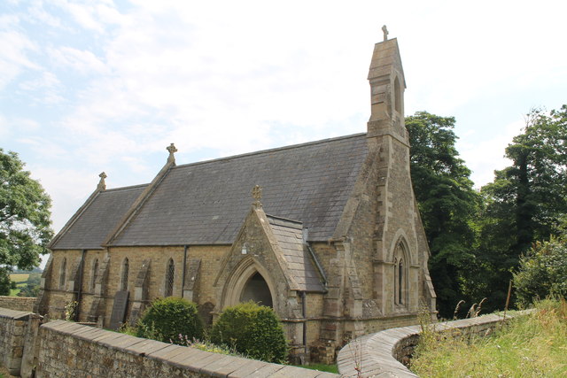
St Mary and St Peter's Church, Harlaxton

St Mary and St Peter's Church is a Grade I listed Church of England parish church dedicated to Saint Mary and Saint Peter in Harlaxton, Lincolnshire, England...

Harlaxton

Harlaxton is a village and civil parish in the South Kesteven district of Lincolnshire, England. It lies on the edge of the Vale of Belvoir and just off...
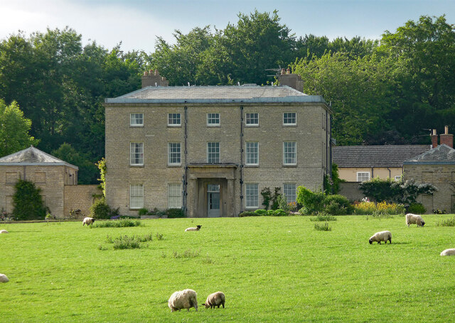
Harlaxton Manor

Harlaxton Manor is a Victorian country house in Harlaxton, Lincolnshire, England. It was built for Gregory Gregory, a local squire and businessman. Gregory...

Nearby Amenities

Located within 500m of 52.861489,-0.693909
Hungerton
Is In: Lincolnshire, England, UK
Place: hamlet
Source: NPE
Lat/Long: 52.860897/-0.6981138
Carpenter's Platts
Alt Name: Carpenters Platts
Place: locality
Source: Bing
Lat/Long: 52.8646218/-0.6985438
Hungerton Home Farm
Place: farm
Source: Bing
Lat/Long: 52.8603066/-0.6963845
Power: pole
Lat/Long: 52.8600458/-0.6891129
Power: pole
Lat/Long: 52.8597122/-0.6878845
Power: pole
Lat/Long: 52.8604539/-0.6905506
Power: pole
Lat/Long: 52.8608523/-0.6920258
Power: pole
Lat/Long: 52.8612377/-0.6933669
The data included in this document is from www.openstreetmap.org. The data is made available under ODbL.

Have you been to Hungerton?

Leave your review of Hungerton below (or comments, questions and feedback).