Corwharn

Hill, Mountain in Angus

Scotland

Corwharn

Approaching Drumshade A small group of walkers making their way along the track towards Drumshade Plantation.
Approaching Drumshade Credit: James Allan

Corwharn is a prominent hill located in the county of Angus, Scotland. It is part of the Grampian Mountains range and stands at an elevation of 572 meters (1,877 feet) above sea level. The hill is situated about 5 kilometers southwest of the village of Glen Isla.

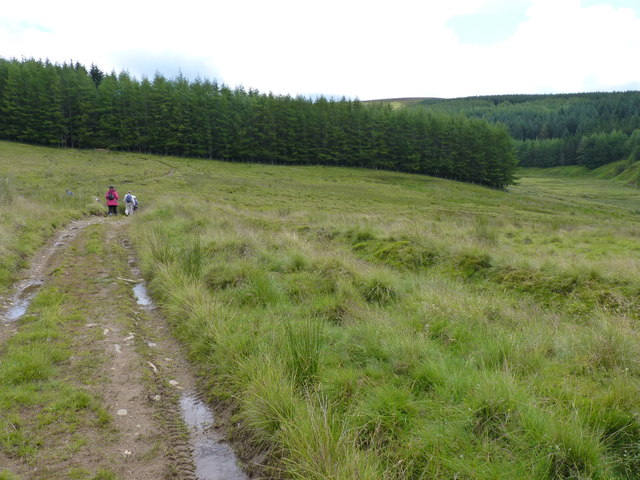
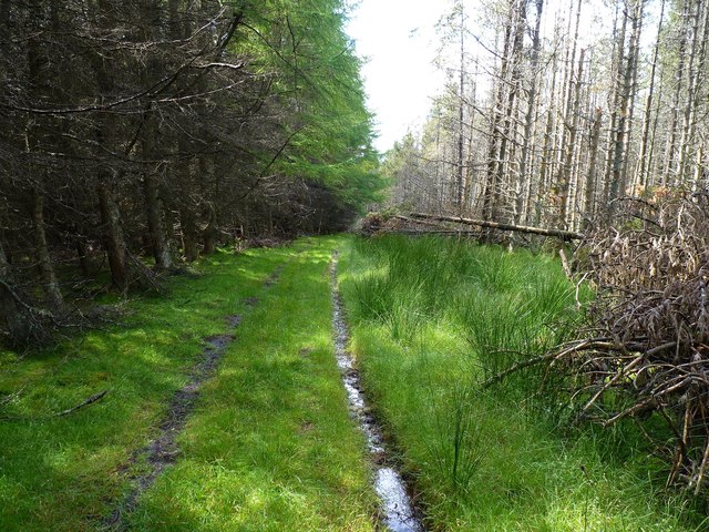
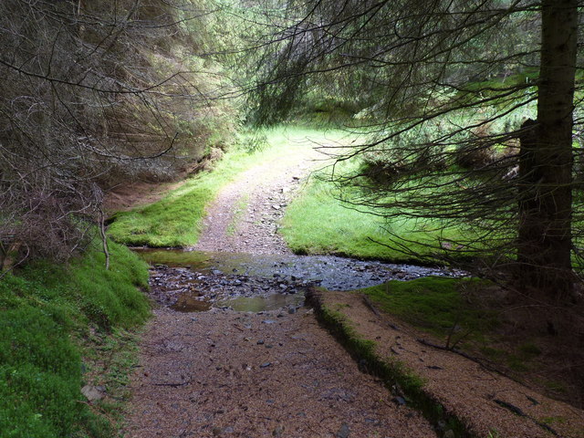
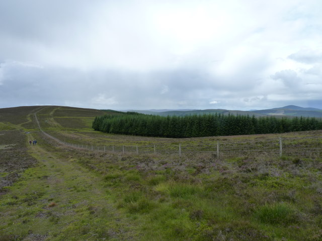
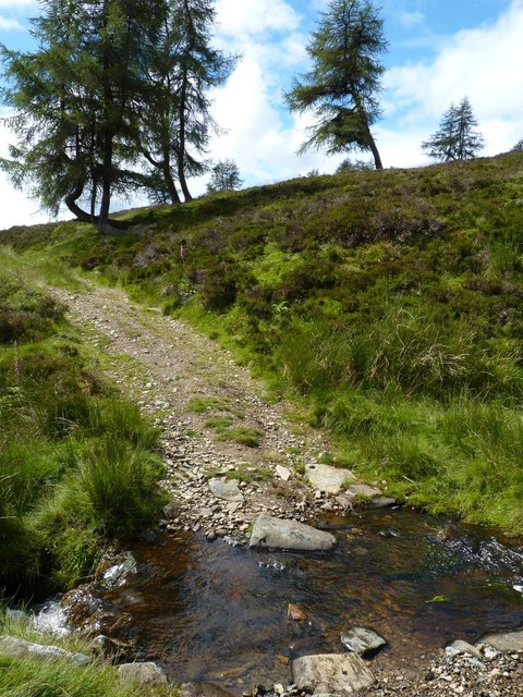
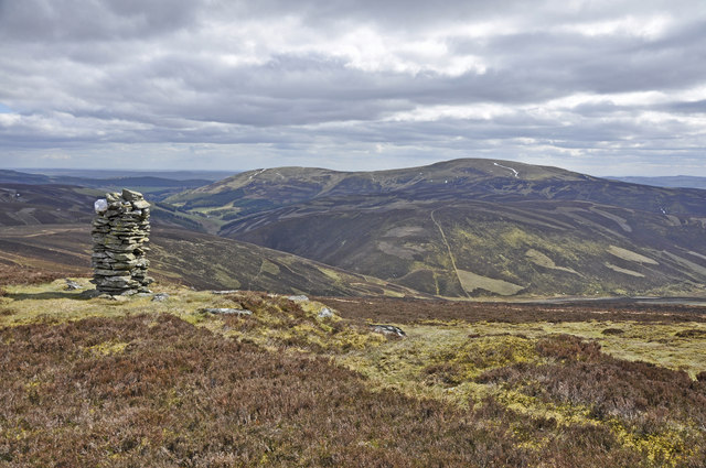
Corwharn boasts stunning natural beauty, with its slopes covered in heather, grasses, and scattered patches of woodland. The hill offers breathtaking panoramic views of the surrounding landscapes, including the picturesque Glen Isla and the rolling hills of Angus.

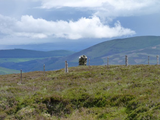
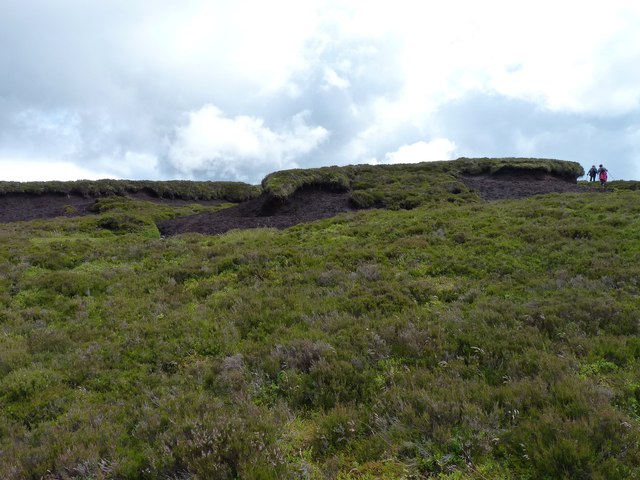
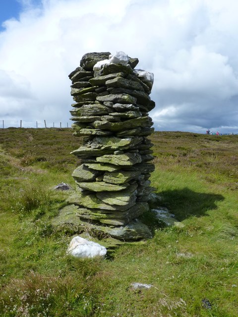
The summit of Corwharn is marked by a trig point, which serves as a navigational aid for hikers and surveyors. The hill is a popular destination for outdoor enthusiasts, who come here to enjoy various activities such as hiking, hillwalking, and birdwatching. The diverse flora and fauna found on Corwharn attract nature lovers and wildlife enthusiasts, as the area is home to a variety of bird species, including red grouse and peregrine falcons.

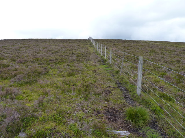
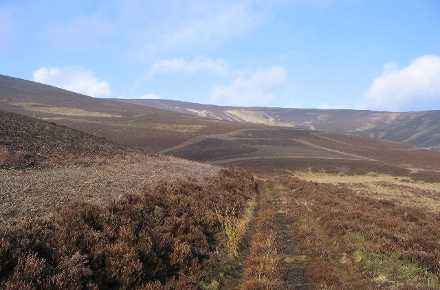
Access to Corwharn is relatively straightforward, with several walking routes leading to the summit. The most common starting point is Glen Isla, from where a well-defined path takes you up the hill. The hike to the summit is moderate in difficulty, with some steep sections, but the effort is rewarded with magnificent views at the top.

Overall, Corwharn is a captivating hill in Angus, Scotland, offering visitors a chance to immerse themselves in the natural beauty and tranquility of the Grampian Mountains.

If you have any feedback on the listing, please let us know in the comments section below.

Corwharn Images

Images are sourced within 2km of 56.772046/-3.1655273 or Grid Reference NO2865. Thanks to Geograph Open Source API. All images are credited.

Approaching Drumshade A small group of walkers making their way along the track towards Drumshade Plantation.
Approaching Drumshade
A small group of walkers making their way along the track towards Drumshade Plantation.
Woodland track Through Drumshade Plantation.
Woodland track
Through Drumshade Plantation.
Meikle Artochny Where the track through Drumshade Plantation fords the burn.
Meikle Artochny
Where the track through Drumshade Plantation fords the burn.
Mottled hillside With a few trees struggling for survival.
Mottled hillside
With a few trees struggling for survival.
Hill ridge track Alongside the plantation on Milldewan Hill.
Hill ridge track
Alongside the plantation on Milldewan Hill.
Fording a burn Hill track crossing the Eskielawn burn by means of a ford.
Fording a burn
Hill track crossing the Eskielawn burn by means of a ford.
Fence line On Cairn Corse.
Fence line
On Cairn Corse.
Corwharn cairn A neatly built cairn on a stoney ridge just a few metres from the 611 metre (2005 feet) high summit of Corwharn. About two metres tall, it is generally known as a 'stone man'. What looks at first like another 'stone man' on the background hill left of centre is actually a much larger edifice, the Airlie Tower monument <a href="https://www.geograph.org.uk/gridref/NO3761">NO3761</a>.
Corwharn cairn
A neatly built cairn on a stoney ridge just a few metres from the 611 metre (2005 feet) high summit of Corwharn. About two metres tall, it is generally known as a 'stone man'. What looks at first like another 'stone man' on the background hill left of centre is actually a much larger edifice, the Airlie Tower monument NO3761.
Peat haggs The figures alongside them give some impression of the size of these peat haggs near the summit of Corwharn.
Peat haggs
The figures alongside them give some impression of the size of these peat haggs near the summit of Corwharn.
Enigmatic 'stone man' on Corwharn A carefully crafted square section dry-stone cairn about two metres tall near the 2005 feet summit of Corwharn. Its builder, obviously a dab hand at dry-stane dyking, seems to have used local slatey stone and quartz in its construction, but who built the so-called 'stone man', when and for what purpose seems to be shrouded in mystery.
Enigmatic 'stone man' on Corwharn
A carefully crafted square section dry-stone cairn about two metres tall near the 2005 feet summit of Corwharn. Its builder, obviously a dab hand at dry-stane dyking, seems to have used local slatey stone and quartz in its construction, but who built the so-called 'stone man', when and for what purpose seems to be shrouded in mystery.
Cairn on Corwharn Glen Uig below and Cat Law beyond
Cairn on Corwharn
Glen Uig below and Cat Law beyond
Plantation track Forestry track in Drumshade Plantation
Plantation track
Forestry track in Drumshade Plantation
Peat haggs Near the summit of Corwharn.
Peat haggs
Near the summit of Corwharn.
The head of Glen Quharity Snow starts to fall near the pass between Glen Quharity and Glen Uig.
The head of Glen Quharity
Snow starts to fall near the pass between Glen Quharity and Glen Uig.
On Corwharn Corwharn (611m) from the ridge with Cairn Corse. A dusting of snow shows up the landrover track. The Eastern highlands has a lower rainfall,  ideal for heather, and it is not always necessary to build a road over such gentle dry terrain.
On Corwharn
Corwharn (611m) from the ridge with Cairn Corse. A dusting of snow shows up the landrover track. The Eastern highlands has a lower rainfall, ideal for heather, and it is not always necessary to build a road over such gentle dry terrain.
Stone man, Corwharn. Tall cairn near the summit of Corwharn.   Occasionally drystane dyke builders show off their skills by constructing cairns like this.
Stone man, Corwharn.
Tall cairn near the summit of Corwharn. Occasionally drystane dyke builders show off their skills by constructing cairns like this.
The head of Glen Uig. Below Corwharn, the Glen Uig side of the pass between Glen Uig and Glen Quharity.  Downstream the glen deepens and narrows.
The head of Glen Uig.
Below Corwharn, the Glen Uig side of the pass between Glen Uig and Glen Quharity. Downstream the glen deepens and narrows.
Drumshade Plantation
Show me another place!

Corwharn is located at Grid Ref: NO2865 (Lat: 56.772046, Lng: -3.1655273)

Unitary Authority: Angus

Police Authority: Tayside

What 3 Words

///calm.advice.lawfully. Near Kirriemuir, Angus

Nearby Locations

Corwharn

Related Wikis

Cat Law

Cat Law (671 m) is a hill in the southern Mounth of Scotland, north of Kirriemuir in Angus. A rounded peak, it lies above Strathmore in the south and offers...

Balintore Castle

Balintore Castle is a Victorian Category A listed building in Scotland. The castle occupies an elevated site in moorland above Balintore village, a few...

Balintore, Angus

Balintore (Scottish Gaelic: Baile an Todhair) is a village in Angus, Scotland. It lies in Glen Isla, four miles north of the Loch of Lintrathen and seven...

Backwater Reservoir

Backwater Reservoir is a reservoir in north west Angus, Scotland. The reservoir's sole purpose is to provide drinking water, and as such, it supplies Angus...

Nearby Amenities

Located within 500m of 56.772046,-3.1655273
Corwharn
Corbett: no
Ele: 609
Graham: yes
Marilyn: yes
Munro: no
Natural: peak
Prominence: 152
Lat/Long: 56.7721206/-3.1652886
The data included in this document is from www.openstreetmap.org. The data is made available under ODbL.

Have you been to Corwharn?

Leave your review of Corwharn below (or comments, questions and feedback).