Middle Crag
Hill, Mountain in Cumberland Allerdale
England
Middle Crag

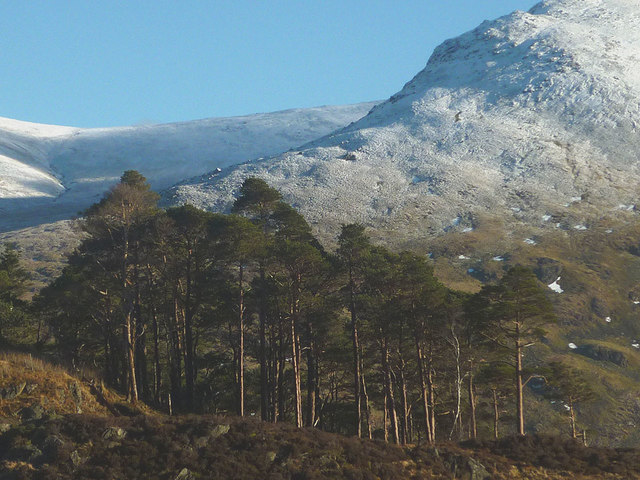
Middle Crag is a prominent hill located in the county of Cumberland, in the northwestern region of England. Standing at an elevation of approximately 500 meters (1,640 feet), it is considered a notable landmark within the area.
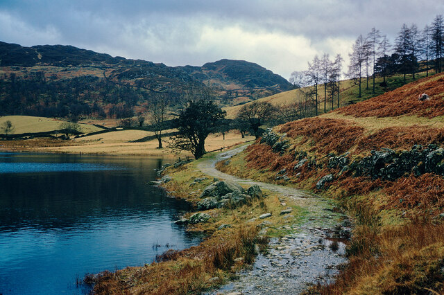
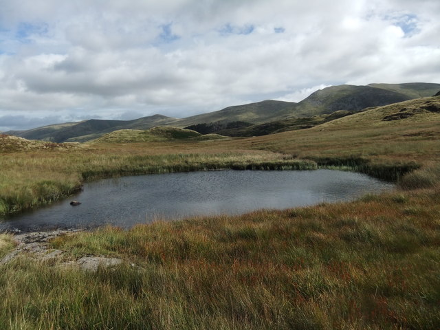
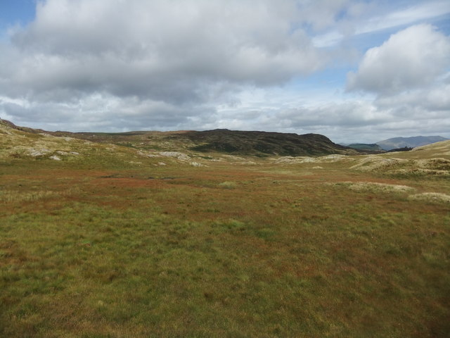
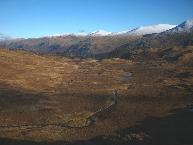
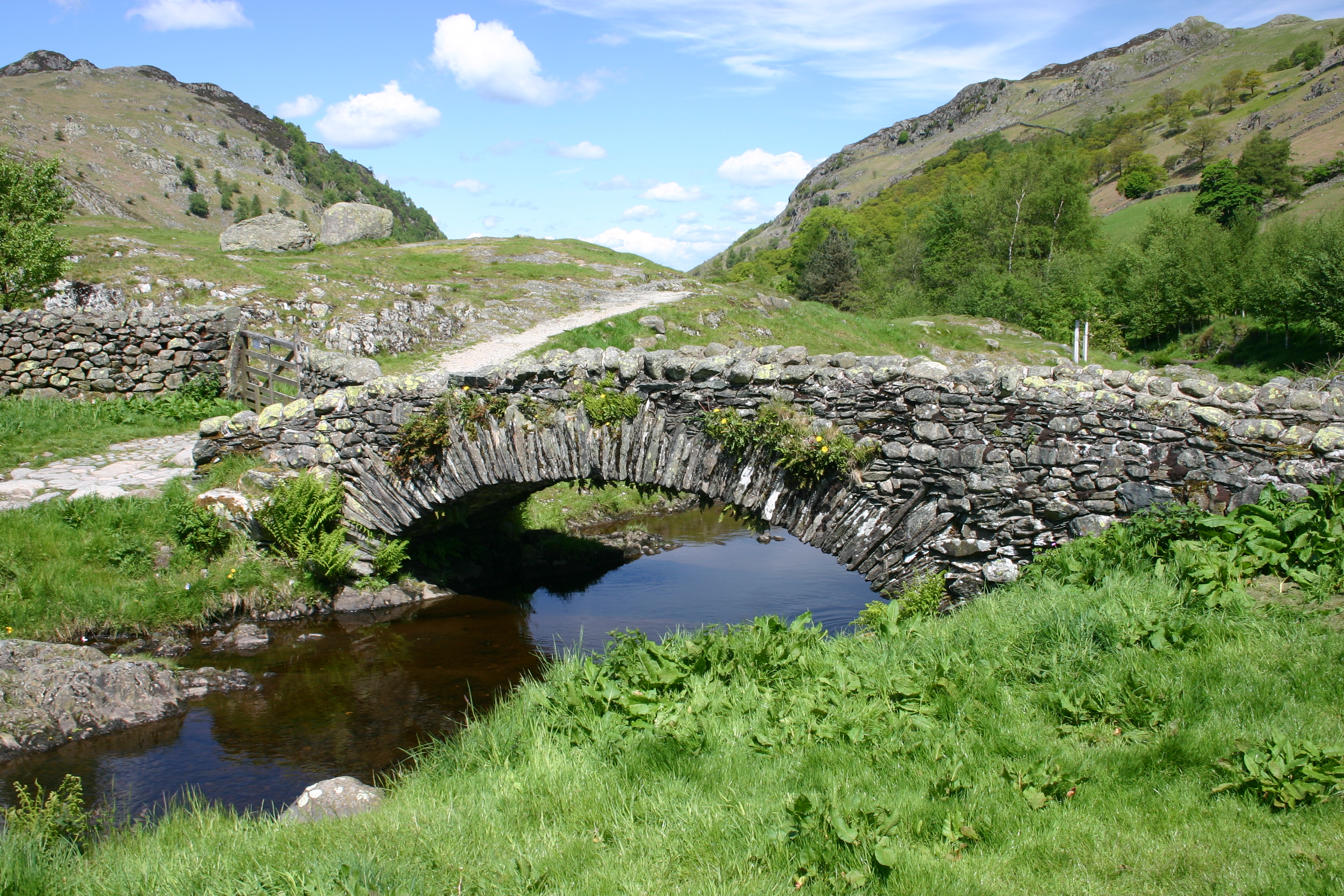
Situated within the stunning Lake District National Park, Middle Crag offers breathtaking panoramic views of the surrounding countryside. Its location on the western edge of the park grants visitors the opportunity to witness the natural beauty of the region, with lush green valleys, picturesque lakes, and rugged mountains in the distance.
The hill is formed primarily of sedimentary rock, with layers of sandstone and limestone visible on its slopes. These geological features contribute to the varied terrain and unique landscape found on Middle Crag. The hill is also home to a diverse range of flora and fauna, including heather, grasses, and various species of birds and mammals.
Traversing Middle Crag is made accessible by a network of well-maintained footpaths and trails. Hikers and outdoor enthusiasts can explore the hill at their leisure, taking advantage of the ample opportunities for walking, trekking, and even rock climbing. Its relatively moderate height and manageable inclines make it an ideal destination for individuals of all fitness levels.
Whether visitors are seeking an adventurous hike or simply a tranquil escape into nature, Middle Crag offers a captivating and enriching experience. Its stunning vistas, geological formations, and rich biodiversity make it a must-visit destination for those exploring the Lake District National Park.
If you have any feedback on the listing, please let us know in the comments section below.
Middle Crag Images
Images are sourced within 2km of 54.532788/-3.1020791 or Grid Reference NY2815. Thanks to Geograph Open Source API. All images are credited.


Middle Crag is located at Grid Ref: NY2815 (Lat: 54.532788, Lng: -3.1020791)
Administrative County: Cumbria
District: Allerdale
Police Authority: Cumbria
What 3 Words
///candle.chum.such. Near Keswick, Cumbria
Nearby Locations
Related Wikis

High Tove
High Tove is a fell in the English Lake District, close to the geographical centre of the Cumbrian hills. It forms part of the watershed between the Derwentwater...

Armboth Fell
Armboth Fell is a fell in the English Lake District, regarded by Alfred Wainwright as the centre of Lakeland. It is named for the former settlement of...
Watendlath
Watendlath is a hamlet and tarn (a small lake) in the Lake District in the English county of Cumbria, historically part of Cumberland, Watendlath is owned...

Bell Crags
Bell Crags (also known as Long Moss or Blea Tarn Fell) is a hill of 559.1 metres (1,834 ft) in the Lake District, England. It lies between Borrowdale...

Dock Tarn
Dock Tarn is a small tarn located within the Lake District National Park in Cumbria, England, at grid reference NY273143. It is situated on moorland at...

High Seat (Lake District)
High Seat is a fell in the centre of the English Lake District. Despite being below 2,000 ft it is the highest point for about 5 miles (8 km) in any direction...

Great Crag
Great Crag is a fell in the English Lake District, located near the hamlets of Rosthwaite and Stonethwaite in Borrowdale. == Topography == The higher slopes...
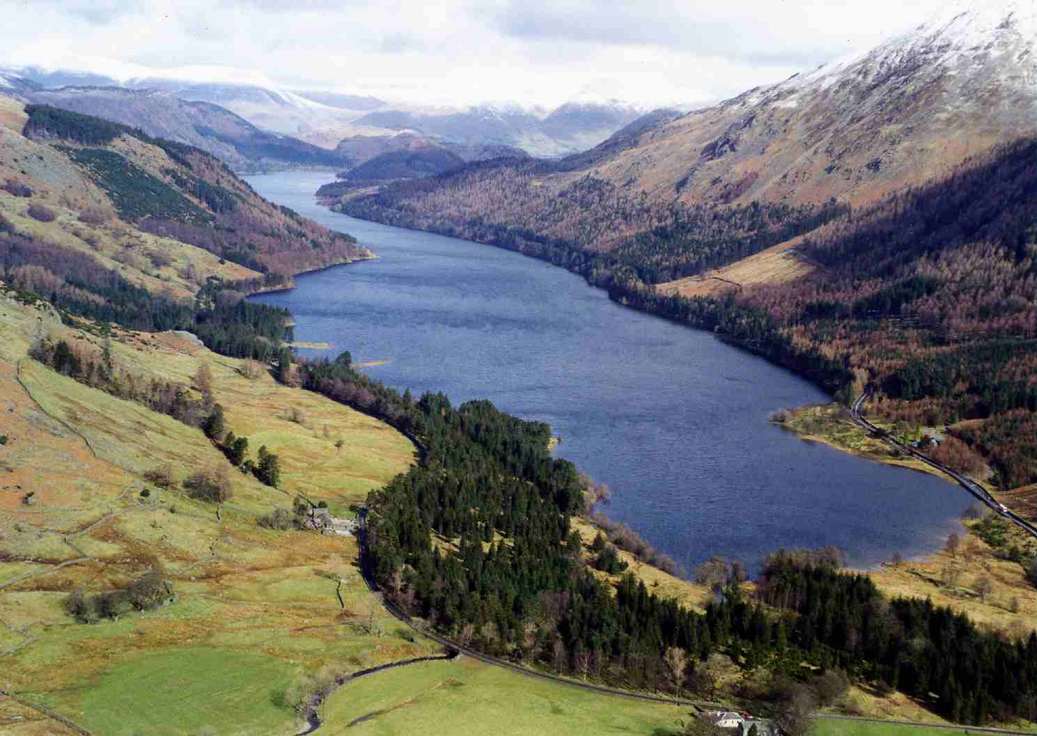
Thirlmere
Thirlmere is a reservoir in the Borough of Allerdale in Cumbria and the English Lake District. The Helvellyn ridge lies to the east of Thirlmere. To the...
Nearby Amenities
Located within 500m of 54.532788,-3.1020791Have you been to Middle Crag?
Leave your review of Middle Crag below (or comments, questions and feedback).