An t-Sròn

Hill, Mountain in Aberdeenshire

Scotland

An t-Sròn

Meandering Muick Tight meanders in the River Muick on the flattish ground north of Loch Muick.
Meandering Muick Credit: Anne Burgess

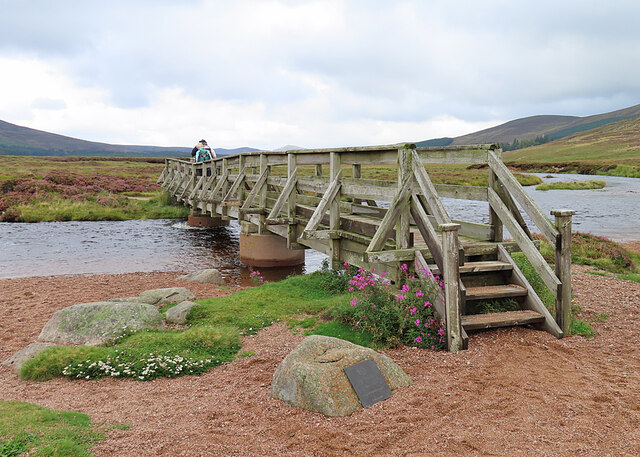
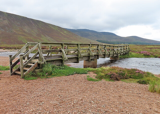
An t-Sròn is a prominent hill located in Aberdeenshire, Scotland. With an elevation of approximately 1,375 feet (419 meters), it is considered a noteworthy mountain in the area. An t-Sròn is situated in the eastern part of Aberdeenshire, near the village of Braemar, within the Cairngorms National Park.

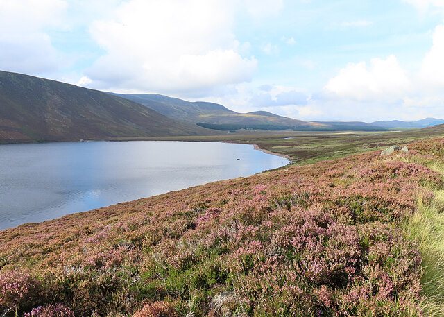
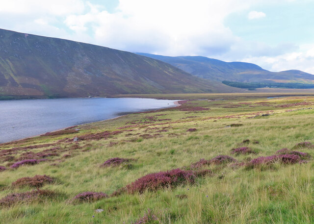
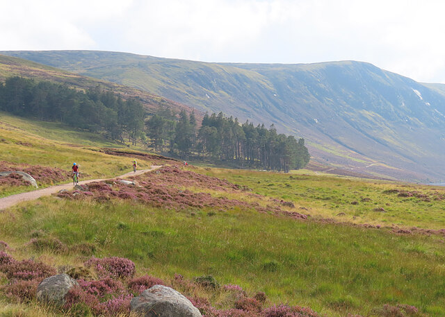
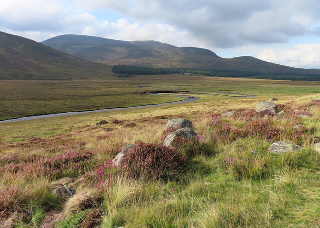
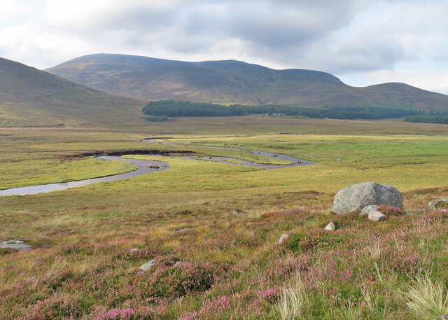
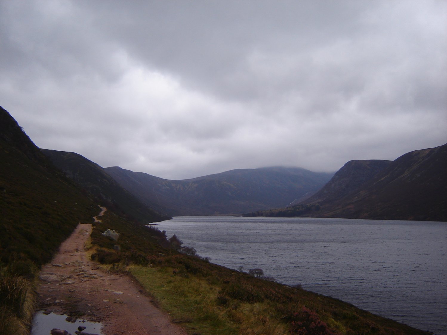
The hill is characterized by its distinctive shape, with a long ridge extending from north to south, resembling the snout of an animal, which is how it acquired its Gaelic name, An t-Sròn, meaning "the snout." The summit of An t-Sròn offers breathtaking panoramic views of the surrounding landscape, including the nearby Cairngorms mountain range, which adds to its appeal for hikers and nature enthusiasts.

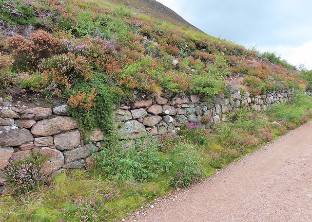
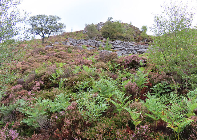
The ascent to the summit of An t-Sròn can be challenging but rewarding, with various routes available to reach the top. The hill is mainly composed of granite, which contributes to its rugged and rocky terrain. The slopes are covered in heather, providing a vibrant purple hue during the flowering season.

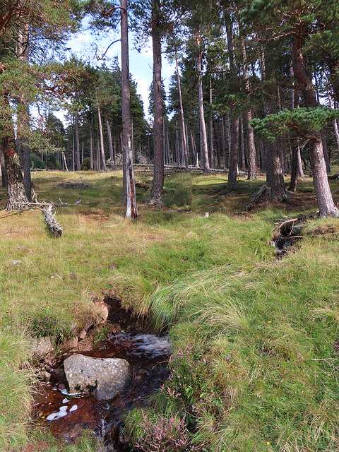
An t-Sròn is part of the wider Cairngorms landscape, known for its rich biodiversity and ecological significance. The area is home to a variety of wildlife, including red deer, mountain hares, and ptarmigan, making it a popular destination for wildlife spotting and birdwatching.

Overall, An t-Sròn is a notable hill in Aberdeenshire, offering stunning views, challenging hikes, and the opportunity to immerse oneself in the natural beauty of the Cairngorms National Park.

If you have any feedback on the listing, please let us know in the comments section below.
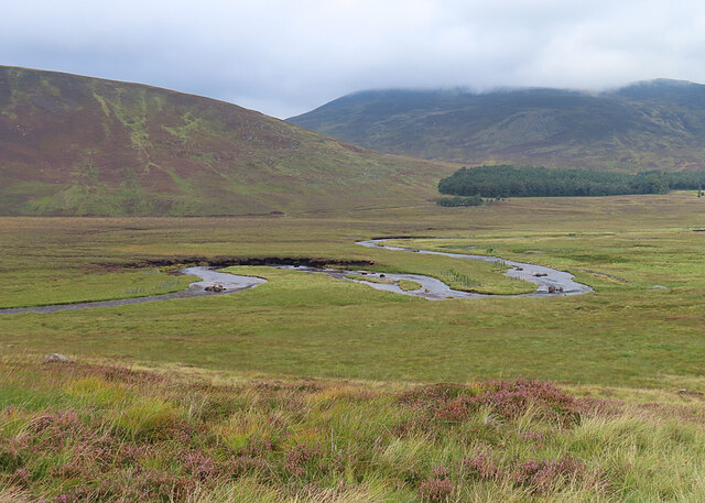
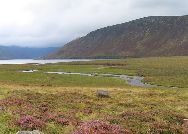
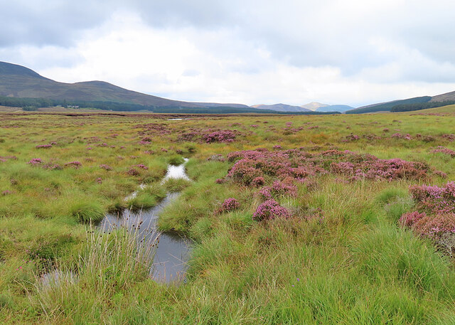
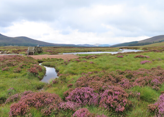
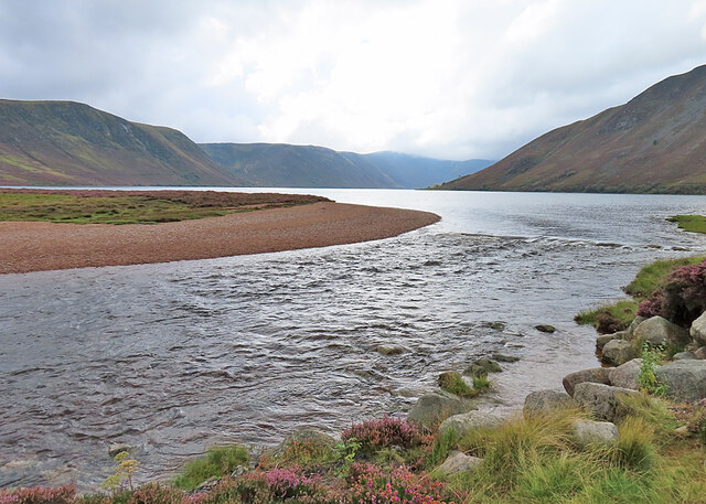
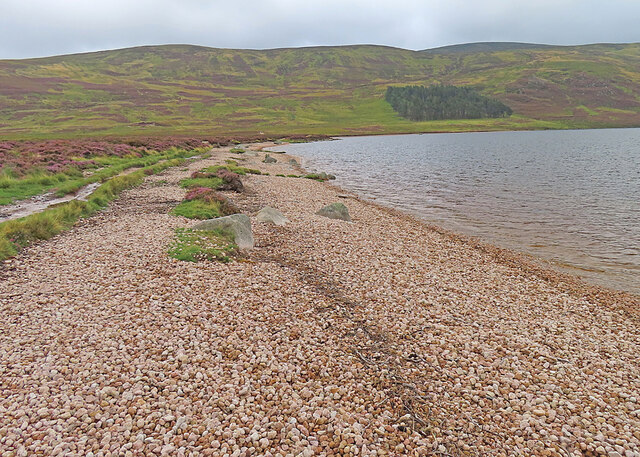
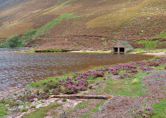
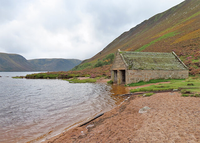
An t-Sròn Images

Images are sourced within 2km of 56.945917/-3.1769482 or Grid Reference NO2884. Thanks to Geograph Open Source API. All images are credited.

Meandering Muick Tight meanders in the River Muick on the flattish ground north of Loch Muick.
Meandering Muick
Tight meanders in the River Muick on the flattish ground north of Loch Muick.
River Muick The first reaches of the River Muick as it leaves Loch Muick.
River Muick
The first reaches of the River Muick as it leaves Loch Muick.
Pools in the Bog Waterlogged ground north of Loch Muick. The conspicuous sunlit hill in the far distance is the Coyles of Muick.
Pools in the Bog
Waterlogged ground north of Loch Muick. The conspicuous sunlit hill in the far distance is the Coyles of Muick.
River Muick The burn in the foreground joins the River Muick just beside the footbridge.
River Muick
The burn in the foreground joins the River Muick just beside the footbridge.
Loch Muick Looking towards the foot of the loch from the stalkers' track above the south-east shore.
Loch Muick
Looking towards the foot of the loch from the stalkers' track above the south-east shore.
Nameless Burn A small nameless burn emerges from a stand of conifers above Loch Muick.
Nameless Burn
A small nameless burn emerges from a stand of conifers above Loch Muick.
Loch Muick Grass and heather on a gentle slope down from the stalkers' track to the loch.
Loch Muick
Grass and heather on a gentle slope down from the stalkers' track to the loch.
Track along Loch Muick Cyclists and walkers use the stalkers' track on the south-west shore of Loch Muick. The dominating ridge is Creag Bhiòrach.
Track along Loch Muick
Cyclists and walkers use the stalkers' track on the south-west shore of Loch Muick. The dominating ridge is Creag Bhiòrach.
Muick Meanders The River Muick throws some very marked meanders in its progress over the flat terrain north of the loch. The highest top is Caisteal na Caillich (862 metres), and the trees at its foot surround Allt-na-giubhsaich.
Muick Meanders
The River Muick throws some very marked meanders in its progress over the flat terrain north of the loch. The highest top is Caisteal na Caillich (862 metres), and the trees at its foot surround Allt-na-giubhsaich.
Meanders in the Muick The River Muick throws some very marked meanders in its progress over the flat terrain north of the loch. The highest top is Caisteal na Caillich (862 metres), and the trees at its foot surround Allt-na-giubhsaich.
Meanders in the Muick
The River Muick throws some very marked meanders in its progress over the flat terrain north of the loch. The highest top is Caisteal na Caillich (862 metres), and the trees at its foot surround Allt-na-giubhsaich.
Footbridge over the River Muick The footbridge provides access for walkers to the circuit of Loch Muick and the paths up Lochnagar.
Footbridge over the River Muick
The footbridge provides access for walkers to the circuit of Loch Muick and the paths up Lochnagar.
Footbridge over the River Muick The footbridge provides access for walkers to the circuit of Loch Muick and the paths up Lochnagar.
Footbridge over the River Muick
The footbridge provides access for walkers to the circuit of Loch Muick and the paths up Lochnagar.
River Muick This is the river as it emerges from Loch Muick.
River Muick
This is the river as it emerges from Loch Muick.
Beach at Loch Muick This is the pebble beach at the north end of Loch Muick, with the ridge of An t-Sròn in the background.
Beach at Loch Muick
This is the pebble beach at the north end of Loch Muick, with the ridge of An t-Sròn in the background.
North end of Loch Muick This is the northern extremity of the loch, next to the track from Allt-na-guibhsaich.
North end of Loch Muick
This is the northern extremity of the loch, next to the track from Allt-na-guibhsaich.
Loch Muick Boathouse I gather that it has often been possible to walk between the boathouse and the water, so the water level is quite high. It has been fairly dry this summer so the last day or two's rain must have raised the level in quite a short time.
Loch Muick Boathouse
I gather that it has often been possible to walk between the boathouse and the water, so the water level is quite high. It has been fairly dry this summer so the last day or two's rain must have raised the level in quite a short time.
Roadside Dyke The dyke was presumably built at the same time as the road. It looks in good condition and is still doing its job of keeping the peat from sliding off the hillside and on to the road.
Roadside Dyke
The dyke was presumably built at the same time as the road. It looks in good condition and is still doing its job of keeping the peat from sliding off the hillside and on to the road.
Roadside Talus Looking up from the road alongside Loch Muick, there is a lot of loose rock in the form of boulders that have presumably fallen from the knoll above.
Roadside Talus
Looking up from the road alongside Loch Muick, there is a lot of loose rock in the form of boulders that have presumably fallen from the knoll above.
Show me another place!

An t-Sròn is located at Grid Ref: NO2884 (Lat: 56.945917, Lng: -3.1769482)

Unitary Authority: Aberdeenshire

Police Authority: North East

What 3 Words

///trees.renovated.follow. Near Ballater, Aberdeenshire

Nearby Locations

An t-Sròn

Related Wikis

Nearby Amenities

Located within 500m of 56.945917,-3.1769482
An t-Sròn
Ele: 708
Natural: peak
Wikidata: Q13125521
Lat/Long: 56.9459099/-3.1768542
The data included in this document is from www.openstreetmap.org. The data is made available under ODbL.

Have you been to An t-Sròn?

Leave your review of An t-Sròn below (or comments, questions and feedback).