Cotly Hill

Hill, Mountain in Midlothian

Scotland

Cotly Hill

View down track at Clinty Cleugh, Moorfoot Hills
View down track at Clinty Cleugh, Moorfoot Hills Credit: Colin Park

The requested URL returned error: 429 Too Many Requests

If you have any feedback on the listing, please let us know in the comments section below.
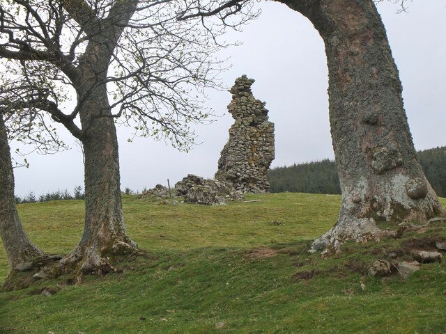
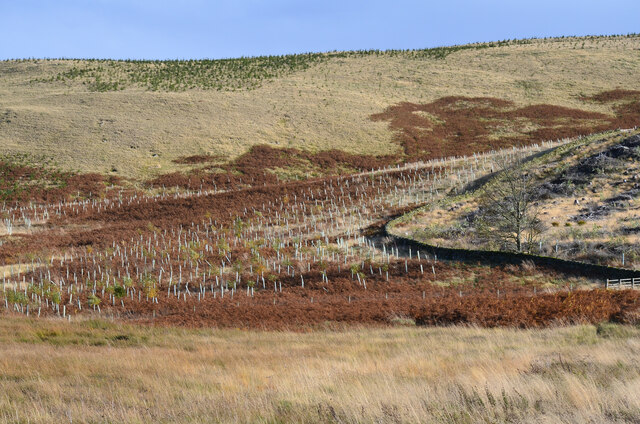
Cotly Hill Images

Images are sourced within 2km of 55.741737/-3.1423297 or Grid Reference NT2850. Thanks to Geograph Open Source API. All images are credited.

View down track at Clinty Cleugh, Moorfoot Hills
Gladhouse Cottage A polite request to fork left onto the track through to the South Esk.
Gladhouse Cottage
A polite request to fork left onto the track through to the South Esk.
Brick sheepfold, Hirenden Burn An unusual brick sheepfold just below the ruins of Hirendean Castle. Perhaps the sheepfold was built as part of the works by the water company when Gladhouse Reservoir was under construction in the late 1870s. There are other similar brick sheds in the South Esk valley nearby. 

The wall is starting to crumble - compare with <a href="https://www.geograph.org.uk/photo/5264453">NT2951 : Brick sheepfold, Hirendean Burn</a> taken in 2017.
Brick sheepfold, Hirenden Burn
An unusual brick sheepfold just below the ruins of Hirendean Castle. Perhaps the sheepfold was built as part of the works by the water company when Gladhouse Reservoir was under construction in the late 1870s. There are other similar brick sheds in the South Esk valley nearby. The wall is starting to crumble - compare with NT2951 : Brick sheepfold, Hirendean Burn taken in 2017.
Hirendean Castle In view is the highest part of the remaining ruin at the SW corner.

The ruins are thought to date back to the 16th century when the castle was built for Mark Kerr, Abbott of Newbattle. It is possible that it replaced an earlier structure on the site. See <span class="nowrap"><a title="http://www.stravaiging.com/history/castle/hirendean-castle/" rel="nofollow ugc noopener" href="http://www.stravaiging.com/history/castle/hirendean-castle/">Link</a><img style="margin-left:2px;" alt="External link" title="External link - shift click to open in new window" src="https://s1.geograph.org.uk/img/external.png" width="10" height="10"/></span> for more background.
Hirendean Castle
In view is the highest part of the remaining ruin at the SW corner. The ruins are thought to date back to the 16th century when the castle was built for Mark Kerr, Abbott of Newbattle. It is possible that it replaced an earlier structure on the site. See LinkExternal link for more background.
South Wall, Hirendean Castle The wall comprises most of the remaining ruin and has a window opening.

More on the history of the castle can be found at <span class="nowrap"><a title="http://www.stravaiging.com/history/castle/hirendean-castle/" rel="nofollow ugc noopener" href="http://www.stravaiging.com/history/castle/hirendean-castle/">Link</a><img style="margin-left:2px;" alt="External link" title="External link - shift click to open in new window" src="https://s1.geograph.org.uk/img/external.png" width="10" height="10"/></span>.
South Wall, Hirendean Castle
The wall comprises most of the remaining ruin and has a window opening. More on the history of the castle can be found at LinkExternal link.
Hirenden Burn The burn drains NW from the Moorfoot Hills.
Hirenden Burn
The burn drains NW from the Moorfoot Hills.
Track by the South Esk A track up the almost level valley of the South Esk - sheep grazing and the Bowbeat wind turbines just in view on the skyline.
Track by the South Esk
A track up the almost level valley of the South Esk - sheep grazing and the Bowbeat wind turbines just in view on the skyline.
New plantation, Loch Hill Presumably broadleaved trees in the protective tubes with conifers higher up the slope.
New plantation, Loch Hill
Presumably broadleaved trees in the protective tubes with conifers higher up the slope.
Heading S on track from Moorfoot Farm towards Gladhouse Cottage
Ruins of Hirendean Castle from bridge below Gladhouse Cottage
Hirendean Castle The ruins of this castle to the south of Gladhouse reservoir which can be seen in the distance.
Hirendean Castle
The ruins of this castle to the south of Gladhouse reservoir which can be seen in the distance.
South Esk Waterboard marker beside the South Esk, emerging from the Southern Uplands onto the Midlothian Plateau.
South Esk
Waterboard marker beside the South Esk, emerging from the Southern Uplands onto the Midlothian Plateau.
Glen of the South Esk. A sharp interruption to the smooth Lammermuir-Moorfoot scarpline. Midlothian's main river , only a burn here, escapes runs north from the Moorfoot Hills.  The rock here is quite hard, running to small crags, and giving wild scenery. Bowbeat Hill's turbines can be seen on the skyline.
Glen of the South Esk.
A sharp interruption to the smooth Lammermuir-Moorfoot scarpline. Midlothian's main river , only a burn here, escapes runs north from the Moorfoot Hills. The rock here is quite hard, running to small crags, and giving wild scenery. Bowbeat Hill's turbines can be seen on the skyline.
Headwaters of the Tweeddale Burn The Moorfoot scarp. Sheepwalk, mostly blackfaces. The burn forms the Peeblesshire- Midlothian boundary, POV in Midlothian.
Headwaters of the Tweeddale Burn
The Moorfoot scarp. Sheepwalk, mostly blackfaces. The burn forms the Peeblesshire- Midlothian boundary, POV in Midlothian.
Cotly Hill Moorfoots Scarp.  The marks on the hillside are shelters excavated by generations of sheep. The gullies at the head of the Tweeddale Burn are also within the square. Beyond the peaty wastes of Jeffries Course.
Cotly Hill
Moorfoots Scarp. The marks on the hillside are shelters excavated by generations of sheep. The gullies at the head of the Tweeddale Burn are also within the square. Beyond the peaty wastes of Jeffries Course.
Hog Hill View over rough grazing to the flatlands of the Midlothian Plateau (Toxside Moss) and Edinburgh, with a very clear Arthur's Seat.
Hog Hill
View over rough grazing to the flatlands of the Midlothian Plateau (Toxside Moss) and Edinburgh, with a very clear Arthur's Seat.
Peat Law Burn The boggy hollow of the Peat Law Burn. Sheep walk with ewes and lambs in the foreground. The backdrop is a spectacular section of the Southern Upland Fault, dividing the older rocks of the hills from the limestones and other softer rocks of Midlothian. Not as spectacular or as famous as the northern boundary of the Central Belt, the Highland Boundary Fault, it is still an important and obvious geological feature.
Peat Law Burn
The boggy hollow of the Peat Law Burn. Sheep walk with ewes and lambs in the foreground. The backdrop is a spectacular section of the Southern Upland Fault, dividing the older rocks of the hills from the limestones and other softer rocks of Midlothian. Not as spectacular or as famous as the northern boundary of the Central Belt, the Highland Boundary Fault, it is still an important and obvious geological feature.
Gate, South Esk Track running up the deep glen of the South Esk in the Moorfoot Hills.
Gate, South Esk
Track running up the deep glen of the South Esk in the Moorfoot Hills.
Show me another place!

Cotly Hill is located at Grid Ref: NT2850 (Lat: 55.741737, Lng: -3.1423297)

Unitary Authority: Midlothian

Police Authority: The Lothians and Scottish Borders

What 3 Words

///forms.rally.radiated. Near Peebles, Scottish Borders

Nearby Locations

Cotly Hill

Related Wikis

Northshield Rings

Northshield Rings is a prehistoric site, a hillfort near the village of Eddleston and about 6 miles (10 km) north of Peebles, in the Scottish Borders,...

Gladhouse Reservoir

Gladhouse Reservoir, formerly known as Moorfoot Loch, is a reservoir in Midlothian, Scotland, five miles (8 km) south of Penicuik. It is the most southerly...

Bowbeat Hill

Bowbeat Hill is a hill in the Moorfoot Hills range, part of the Southern Uplands of Scotland. It lends its name to Bowbeat Onshore Wind Farm built on the...

Blackhope Scar

Blackhope Scar is a hill in the Moorfoot Hills range, part of the Southern Uplands of Scotland. It lies to the northeast of the town of Peebles and is...

Have you been to Cotly Hill?

Leave your review of Cotly Hill below (or comments, questions and feedback).