Black Sails
Hill, Mountain in Lancashire South Lakeland
England
Black Sails

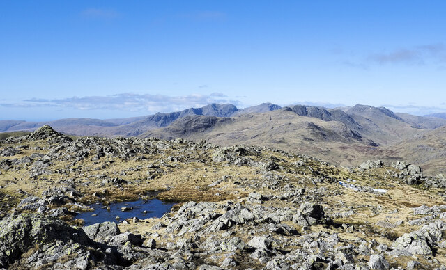
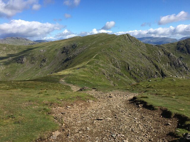
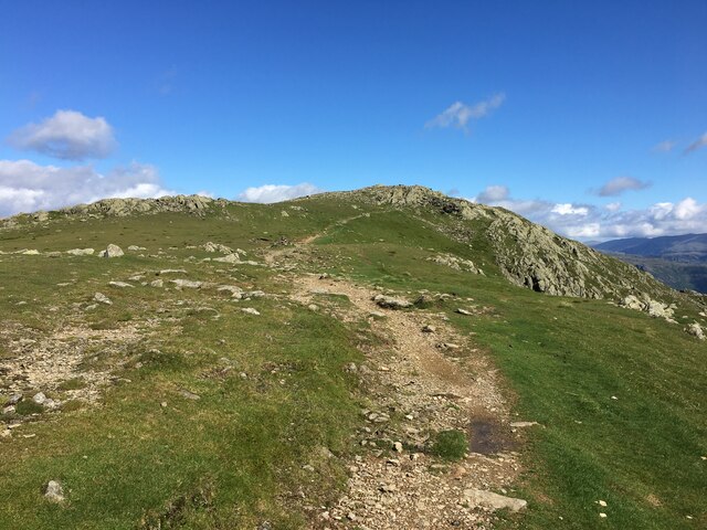
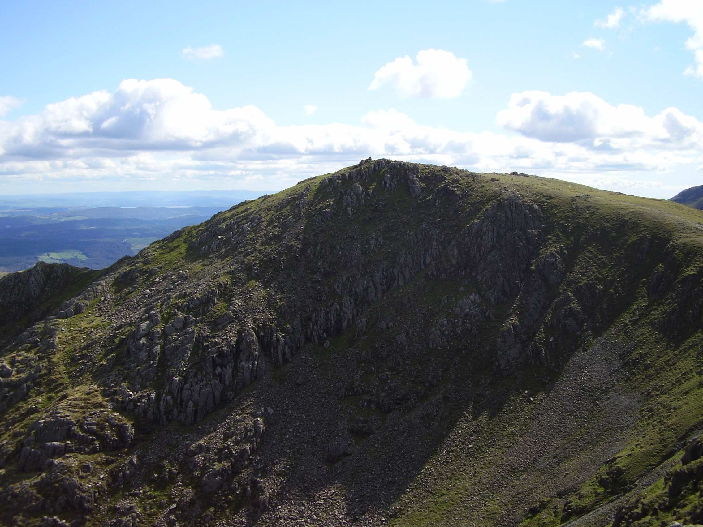
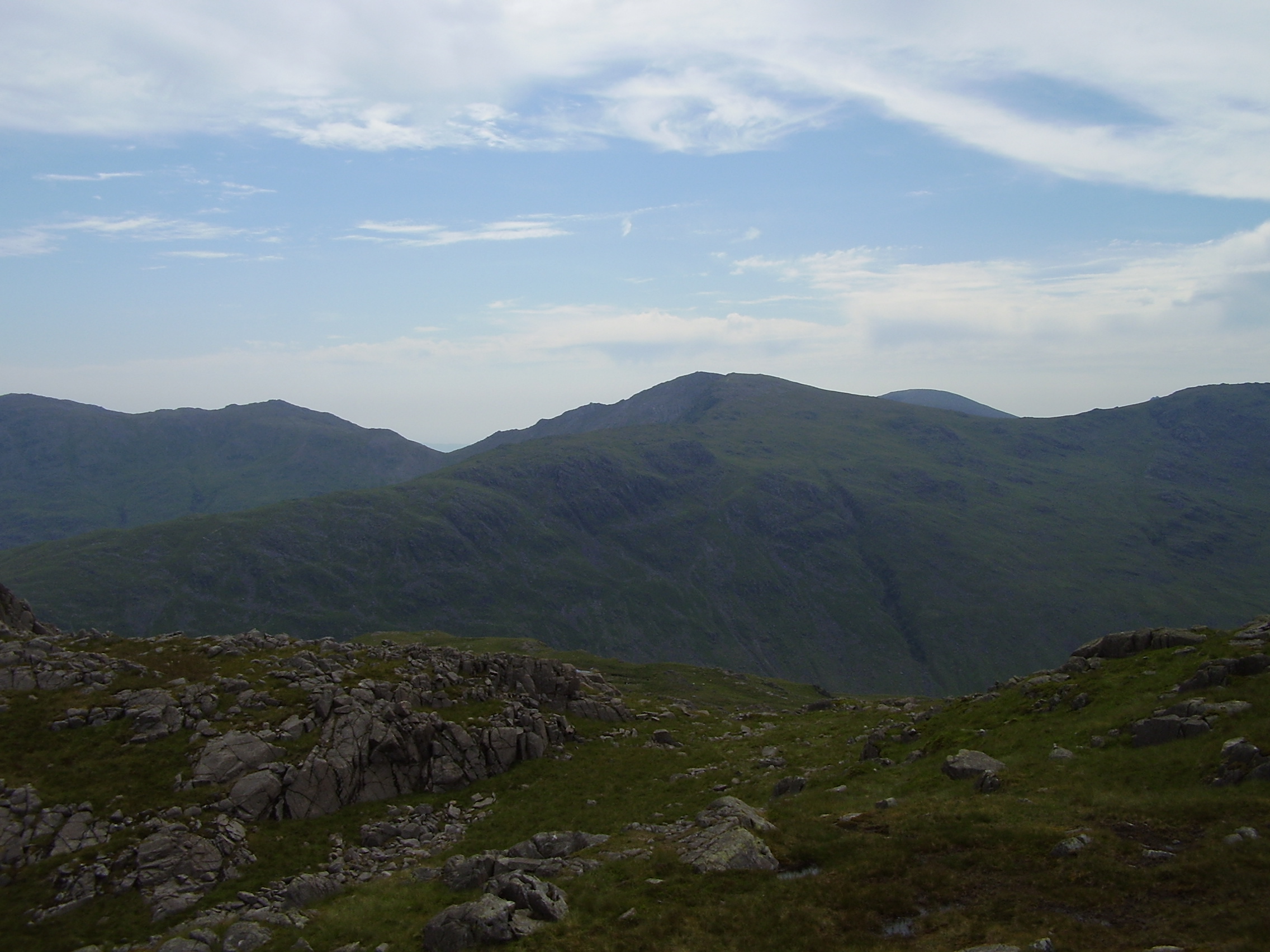
Black Sails is a prominent hill located in the county of Lancashire, England. Situated in the southern part of the county, it forms part of the Pennines, a range of hills and mountains that extend across northern England. With an elevation of 609 meters (1,998 feet), Black Sails offers breathtaking panoramic views of the surrounding countryside.
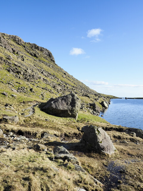
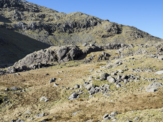
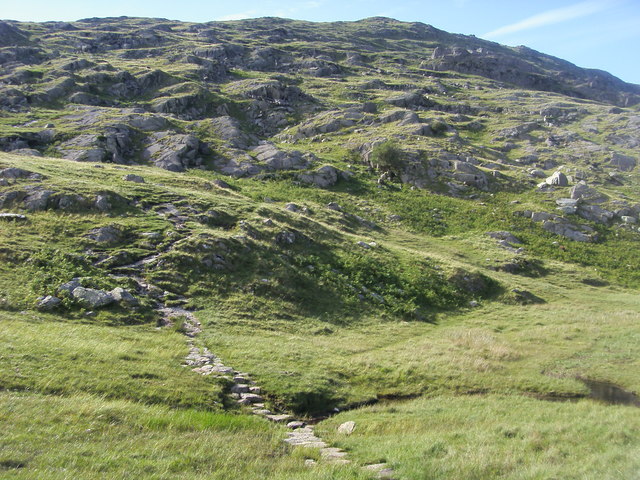
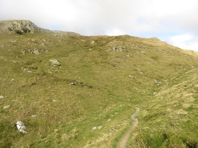
The hill is composed mainly of millstone grit, a type of sandstone, which gives it a distinct dark appearance, hence its name. Its rugged and rocky terrain makes it a popular destination for hikers and outdoor enthusiasts, who can enjoy challenging yet rewarding trails winding through the hill's slopes.
Black Sails is also known for its rich history. In the 18th and 19th centuries, it was a site of lead mining, contributing to the industrial development of the region. The remnants of old mining buildings and shafts can still be seen scattered across the hill, serving as a reminder of its past.
Moreover, Black Sails is home to a diverse range of flora and fauna, with heather, bilberry, and crowberry covering its slopes. Various bird species, including peregrine falcons and red grouse, can also be spotted in the area.
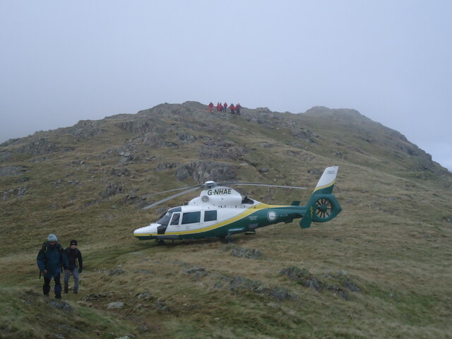
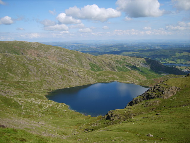
Access to Black Sails is facilitated by several footpaths and trails, allowing visitors to explore its beauty and enjoy the tranquility of the surrounding nature. Whether it's for hiking, nature observation, or simply admiring the stunning views, Black Sails offers a memorable experience for all who venture to its summit.
If you have any feedback on the listing, please let us know in the comments section below.
Black Sails Images
Images are sourced within 2km of 54.397166/-3.1060795 or Grid Reference NY2800. Thanks to Geograph Open Source API. All images are credited.


Black Sails is located at Grid Ref: NY2800 (Lat: 54.397166, Lng: -3.1060795)
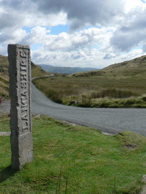
Administrative County: Cumbria
District: South Lakeland
Police Authority: Cumbria
What 3 Words
///watching.reclining.submitted. Near Ambleside, Cumbria
Nearby Locations
Related Wikis

Wetherlam
Wetherlam (763 m) is a mountain in the English Lake District. It is the most northerly of the Coniston Fells, the range of fells to the north-west of Coniston...
Swirl How
Swirl How is a fell in the English Lake District. It stands between Coniston and the Duddon Valley in the southern part of the District. It rivals the...
Great Carrs
Great Carrs is a fell in the English Lake District. It stands above Wrynose Pass in the southern part of the District. == Topography == The Coniston (or...
Levers Water
Levers Water is a small lake in the English Lake District. It is located at the head of the Coppermines Valley, above Coniston village. To its south-west...

Wrynose Pass
The Wrynose Pass is a mountain pass in the Lake District National Park in Cumbria, England between the Duddon Valley and Little Langdale. == Etymology... ==
Three Shire Stone (Lake District)
The Three Shire Stone is a boundary stone that marks the location where the historic English counties of Lancashire, Cumberland and Westmorland meet. The...

River Brathay
The Brathay is a river of north-west England. Its name comes from Old Norse and means broad river. It rises at a point 1289 feet (393 m) above sea level...

Coniston copper mines
The Coniston copper mines were a copper mining operation in Lancashire, England. It was functional for hundreds of years in Coppermines Valley above Coniston...
Nearby Amenities
Located within 500m of 54.397166,-3.1060795Have you been to Black Sails?
Leave your review of Black Sails below (or comments, questions and feedback).