Corryhabbie Hill
Hill, Mountain in Banffshire
Scotland
Corryhabbie Hill

Corryhabbie Hill is a prominent landmark located in Banffshire, Scotland. Standing at an impressive height of 781 meters (2,562 feet), it is recognized as one of the highest hills in the region. Situated within the stunning Cairngorms National Park, Corryhabbie Hill offers breathtaking panoramic views of the surrounding landscape.
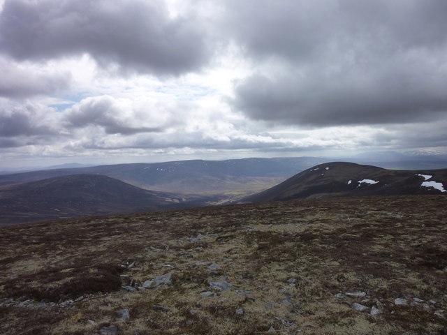
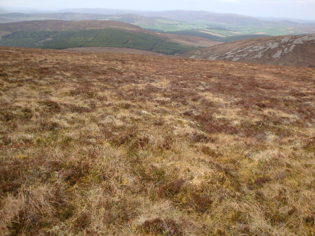
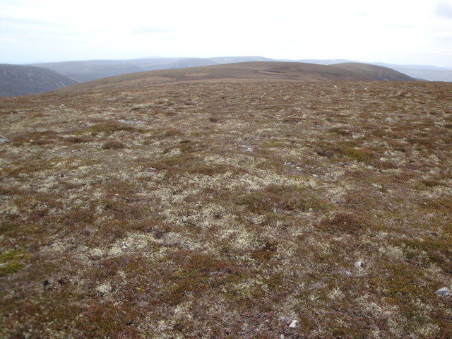
The hill is characterized by its rugged and steep slopes, covered with heather and scattered with rocky outcrops. Its distinctive cone-shaped peak can be seen from miles away, making it a recognizable feature in the area. The summit of Corryhabbie Hill provides a fantastic vantage point, offering visitors an unobstructed view of the beautiful Scottish countryside, including the nearby River Avon.
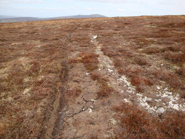
The hill is a popular destination for outdoor enthusiasts, particularly hikers and hillwalkers, who are drawn to its challenging terrain and stunning vistas. There are several established trails that lead to the summit, catering to various levels of experience and fitness. As visitors ascend the hill, they can enjoy the diverse flora and fauna that thrive in this part of the Cairngorms.
Corryhabbie Hill is also renowned for its historical significance. It is believed to have been a site of ritual activities during the Neolithic period, with evidence of various stone circles and burial cairns scattered throughout the surrounding area. Archaeologists continue to uncover fascinating artifacts and remnants of ancient settlements, further adding to the hill's allure.
Whether for its natural beauty, recreational opportunities, or historical significance, Corryhabbie Hill remains an enchanting destination that captivates all who visit.
If you have any feedback on the listing, please let us know in the comments section below.
Corryhabbie Hill Images
Images are sourced within 2km of 57.344623/-3.1964244 or Grid Reference NJ2828. Thanks to Geograph Open Source API. All images are credited.


Corryhabbie Hill is located at Grid Ref: NJ2828 (Lat: 57.344623, Lng: -3.1964244)
Unitary Authority: Moray
Police Authority: North East
What 3 Words
///node.ownership.hydration. Near Dufftown, Moray
Nearby Locations
Related Wikis

Battle of Glenlivet
The Battle of Glenlivet was a Scottish clan battle fought on 3 October 1594 near Glenlivet, Moray, Scotland. It was fought between Protestant forces loyal...

Achnastank
Achnastank (Scottish Gaelic: Achadh nan Staing, field of the pool/ditch) is a scattered settlement, south east of Ben Rinnes, in the Scottish council area...
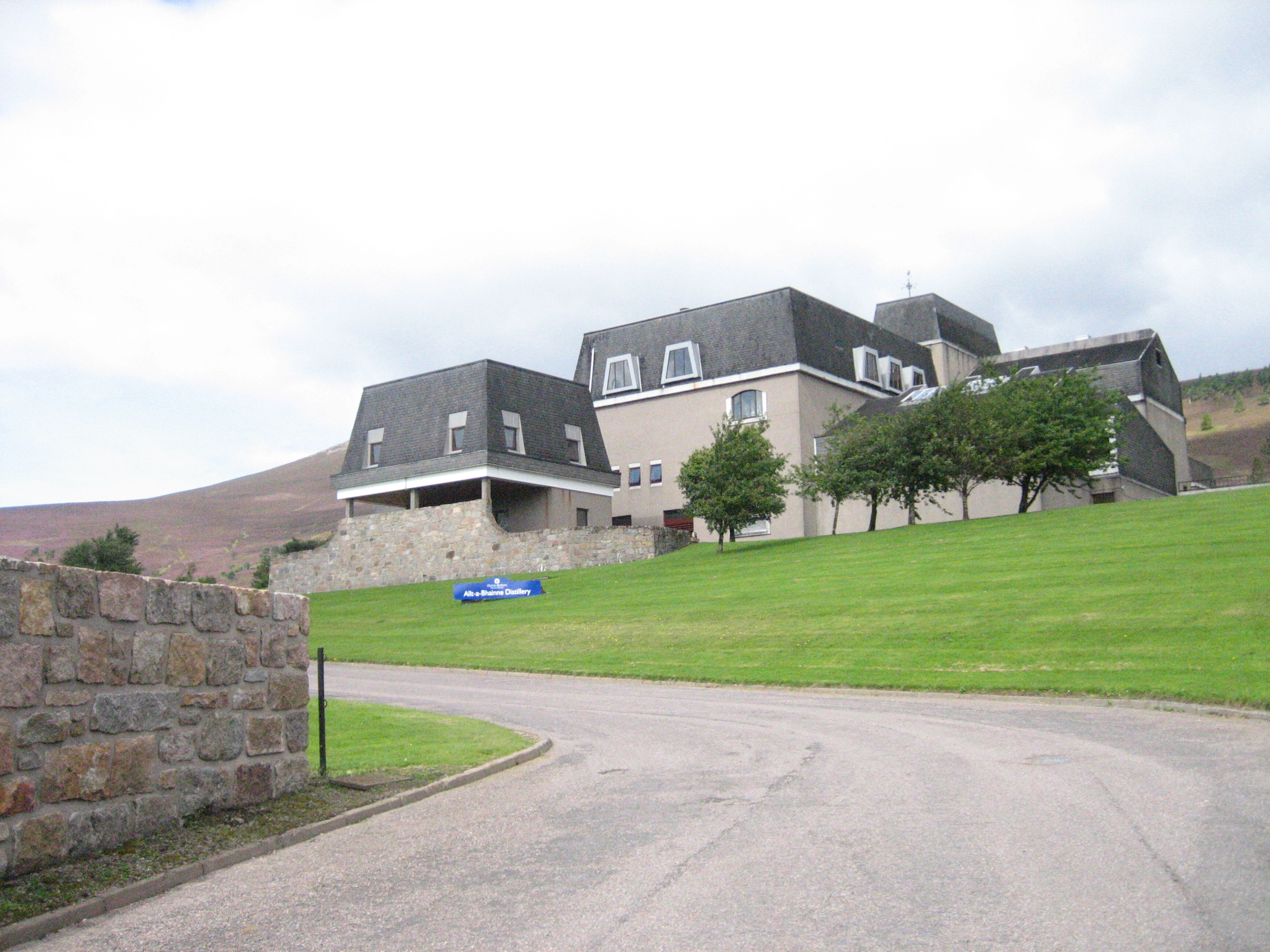
Allt-A-Bhainne distillery
Allt-A-Bhainne distillery (Scottish Gaelic: Allt a' Bhainne [al̪ˠt̪əˈvaɲə], meaning 'milk burn') is a Scotch whisky distillery in the Speyside Region of...

Ben Rinnes
Ben Rinnes (Scottish Gaelic: Beinn Ruaidhneis) is a mountain in Banffshire, in northern Scotland. The mountain is popular with hikers. The mountain is...
Nearby Amenities
Located within 500m of 57.344623,-3.1964244Have you been to Corryhabbie Hill?
Leave your review of Corryhabbie Hill below (or comments, questions and feedback).