Baw Hill

Hill, Mountain in Fife

Scotland

Baw Hill

Pathcondie from Monimail Looking north-westwards up the hill from Monimail towards Pathcondie.
Pathcondie from Monimail Credit: Scott Cormie

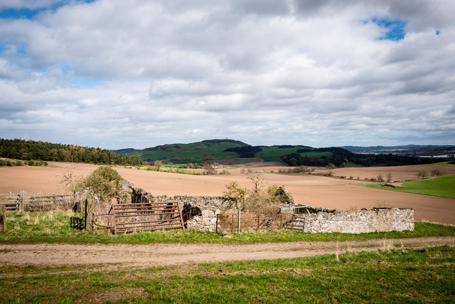
Baw Hill is a prominent hill located in Fife, Scotland. It is situated near the village of Kinglassie, approximately 5 miles south of Glenrothes. Rising to an elevation of 235 meters (770 feet), Baw Hill is not classified as a mountain but rather a hill. However, it still offers stunning panoramic views of the surrounding landscape.

The hill is easily accessible, with several paths and trails leading to the summit. These routes are popular among hikers, walkers, and nature enthusiasts who seek to enjoy the tranquil countryside and take in the breathtaking vistas from the top. The ascent is relatively gentle, making it suitable for people of various fitness levels.

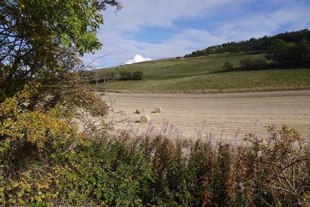
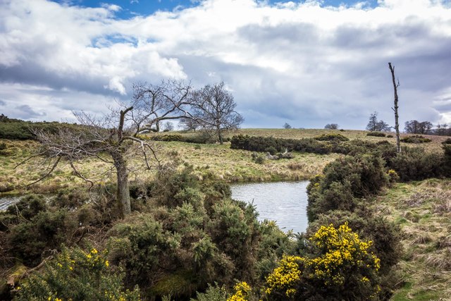
Baw Hill is known for its diverse flora and fauna, with a variety of plant species adorning its slopes. During the spring and summer months, wildflowers such as bluebells and heather create a colorful tapestry across the hillside. The area also provides a habitat for various bird species, such as skylarks and meadow pipits.

Historically, Baw Hill has been used for recreational purposes, including sledging during winter months when snow covers the hill. It has also been a site for local gatherings and community events, showcasing the strong sense of community in the area.

Overall, Baw Hill offers visitors a chance to connect with nature, enjoy scenic views, and appreciate the beauty of the Scottish countryside. Whether for a leisurely stroll or a more challenging hike, Baw Hill provides a wonderful outdoor experience for all who venture to its summit.

If you have any feedback on the listing, please let us know in the comments section below.
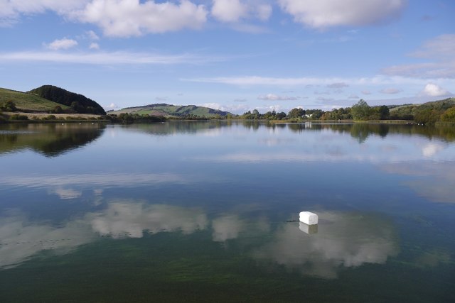
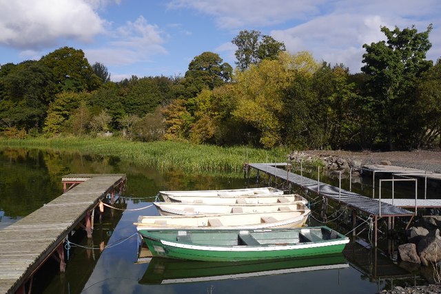
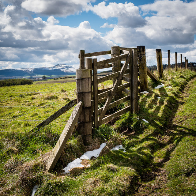
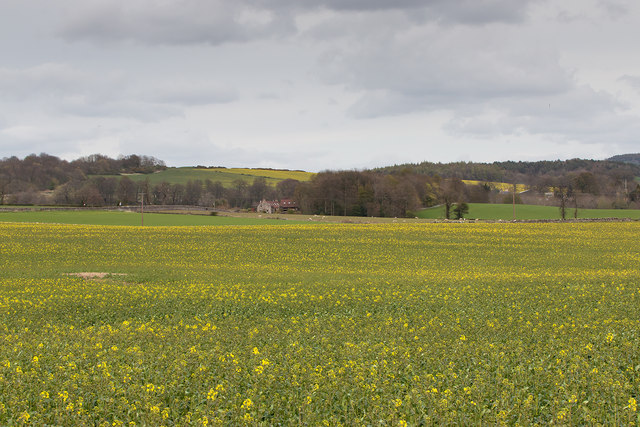
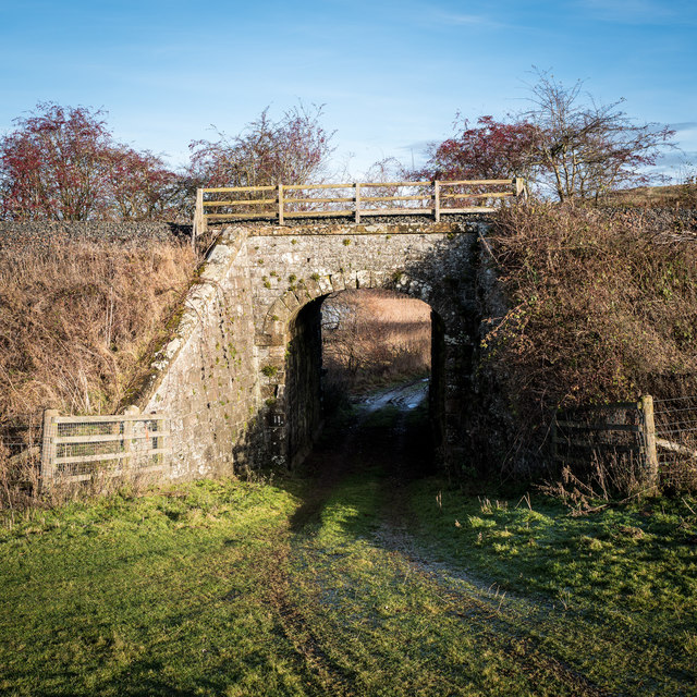
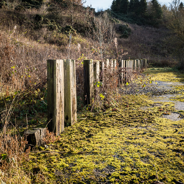
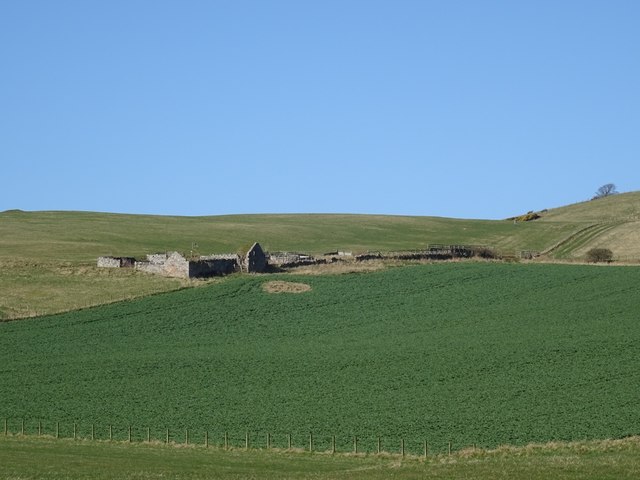
Baw Hill Images

Images are sourced within 2km of 56.320691/-3.1650272 or Grid Reference NO2814. Thanks to Geograph Open Source API. All images are credited.

Pathcondie from Monimail Looking north-westwards up the hill from Monimail towards Pathcondie.
Pathcondie from Monimail
Looking north-westwards up the hill from Monimail towards Pathcondie.
Bales near Halhill Looking south-west to a field of paired bales near Halhill, with East Lomond in the distance to the right.
Bales near Halhill
Looking south-west to a field of paired bales near Halhill, with East Lomond in the distance to the right.
Tower of Collessie Church A distant view from the north-east of the tower of Collessie Parish Church, with East Lomond beyond.
Tower of Collessie Church
A distant view from the north-east of the tower of Collessie Parish Church, with East Lomond beyond.
Sheepfold at Dunboghill
Abandoned farm at Gowdie Wonderful views to the south and east, with Hopetown monument just visible on the skyline
Abandoned farm at Gowdie
Wonderful views to the south and east, with Hopetown monument just visible on the skyline
Stubble, Cairneyhall A field beside the Loch of Lindores.
Stubble, Cairneyhall
A field beside the Loch of Lindores.
Pier, Lindores Loch Clear, shallow water by the boat pier.
Pier, Lindores Loch
Clear, shallow water by the boat pier.
Piers, Lindores Loch Fishing boats tied up at the end of the season.
Piers, Lindores Loch
Fishing boats tied up at the end of the season.
Lindores Loch
Lindores Loch
Fishing boats, Loch of Lindores Tied up at the end of the season.
Fishing boats, Loch of Lindores
Tied up at the end of the season.
View across Inchrye reedbeds to Glenduckie and Norman's Law Standing on the Dunbog to Lindores Loch track looking North East. The extensive reedbeds aren't named on the map but lie between Inchrye and Dunbog. On the Northern side is a dismantled railway that used to connect the Den of Lindores with Kilmany and then Wormit ... now long gone. In the distance is Norman's Law, the highest point in the North Fife Hills.
View across Inchrye reedbeds to Glenduckie and Norman's Law
Standing on the Dunbog to Lindores Loch track looking North East. The extensive reedbeds aren't named on the map but lie between Inchrye and Dunbog. On the Northern side is a dismantled railway that used to connect the Den of Lindores with Kilmany and then Wormit ... now long gone. In the distance is Norman's Law, the highest point in the North Fife Hills.
Gate on Collessie to Lindores Loch path This path, not shown on the OS maps of the area, connects Collessie to Lindores Loch and is one of the way marked Fife Corepaths. West Lomond Hill is in the background, approximately 7 miles away as the crow flies
Gate on Collessie to Lindores Loch path
This path, not shown on the OS maps of the area, connects Collessie to Lindores Loch and is one of the way marked Fife Corepaths. West Lomond Hill is in the background, approximately 7 miles away as the crow flies
Farmland near Collessie Acres of oil seed rape under cultivation near Collessie in Fife - not quite in flower on May Day 2016.
Farmland near Collessie
Acres of oil seed rape under cultivation near Collessie in Fife - not quite in flower on May Day 2016.
Railway Bridge near Cairneyhall Farm The railway (Perth to Edinburgh line) goes over a farm track that joins the Newburgh to Collessie road near the southern end of Lindores Loch
Railway Bridge near Cairneyhall Farm
The railway (Perth to Edinburgh line) goes over a farm track that joins the Newburgh to Collessie road near the southern end of Lindores Loch
Strange enclosure near Woodmill Mains This is one side of an enclosure fenced with railway sleepers, perhaps 30-35 each side flanking a single track road width of concreted level ground. All of it is in a poor state now. The enclosure is just off a track opposite Woodmill Mains. Considering its age and construction it may have been something to do with the railway that is immediately adjacent the nearby Newburgh to Collessie road.
Strange enclosure near Woodmill Mains
This is one side of an enclosure fenced with railway sleepers, perhaps 30-35 each side flanking a single track road width of concreted level ground. All of it is in a poor state now. The enclosure is just off a track opposite Woodmill Mains. Considering its age and construction it may have been something to do with the railway that is immediately adjacent the nearby Newburgh to Collessie road.
Abandoned cattle feeders Monimail to Dunbog track These cattle feeders are on the old track between Monimail and Dunbog at the junction with the track to Cairneyhill Farm and Lindores Loch. The new wind turbine can just be seen through the haze as the track dips down to Dunbog. This is a good place to stop for a rest when walking or mountain biking over the North Fife Hills. Note that there is at least one additional photograph of these feeders on Geograph mapped to the wrong location.
Abandoned cattle feeders Monimail to Dunbog track
These cattle feeders are on the old track between Monimail and Dunbog at the junction with the track to Cairneyhill Farm and Lindores Loch. The new wind turbine can just be seen through the haze as the track dips down to Dunbog. This is a good place to stop for a rest when walking or mountain biking over the North Fife Hills. Note that there is at least one additional photograph of these feeders on Geograph mapped to the wrong location.
Small pond on Baw Hill Small pond near the top of Baw Hill. This is a little visited part of the North Fife hills. The top of East Lomond hill can just be seen on the skyline between the two distant trees.
Small pond on Baw Hill
Small pond near the top of Baw Hill. This is a little visited part of the North Fife hills. The top of East Lomond hill can just be seen on the skyline between the two distant trees.
Gowdie A ruined farm above Letham. The grass above is grazed by cattle in the Summer months, the dark green is oilseed rape which had just started its Spring growth spurt.
Gowdie
A ruined farm above Letham. The grass above is grazed by cattle in the Summer months, the dark green is oilseed rape which had just started its Spring growth spurt.
Show me another place!

Baw Hill is located at Grid Ref: NO2814 (Lat: 56.320691, Lng: -3.1650272)

Unitary Authority: Fife

Police Authority: Fife

What 3 Words

///loosed.year.webcams. Near Auchtermuchty, Fife

Nearby Locations

Baw Hill

Related Wikis

Cairnie Hill

Cairnie Hill lies at the eastern end of the Ochil Hills, above the village of Collessie Scotland. It is the highest point of a small upland area between...

Dunbog

Dunbog is a parish in the county of Fife in Scotland which is now (since 1983) united with the neighbouring parish of Abdie, Dunbog kirk closing at that...

Collessie railway station

Collessie railway station served the village of Collessie, Fife, Scotland from 1847 to 1955 on the Edinburgh and Northern Railway. == History == The station...

Collessie

Collessie is a village and parish of Fife, Scotland. The village is set on a small hillock centred on a historic church. Due to rerouting of roads, it...

Lindores Loch

Lindores Loch is a freshwater loch, situated in North Fife in the Parish of Abdie, in the Central Belt of Scotland. The Loch has for many years been used...
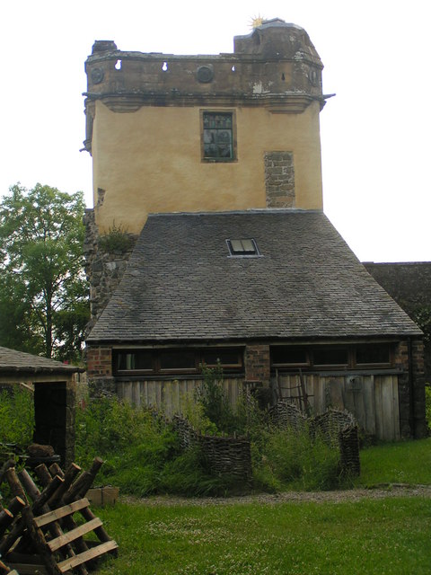
Palace of Monimail

The Palace of Monimail, also known as Monimail Tower, was a Renaissance palace in Fife, Scotland. A residence of the Archbishops of St Andrews from the...

Melville House

Melville House is a 1697 house that lies to the south side of the Palace of Monimail near Collessie in Fife, Scotland. It has been a school and a training...

Birnie Loch

Birnie Loch is located in North East Fife, Scotland, adjacent to the crossroads between the A91 and B937 roads. It is entirely artificial in nature, being...

Have you been to Baw Hill?

Leave your review of Baw Hill below (or comments, questions and feedback).