Cairnie Hill

Hill, Mountain in Fife

Scotland

Cairnie Hill

Pathcondie from Monimail Looking north-westwards up the hill from Monimail towards Pathcondie.
Pathcondie from Monimail Credit: Scott Cormie

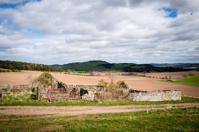
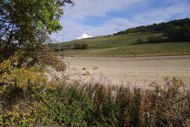
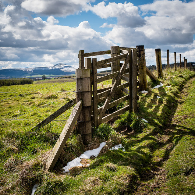
Cairnie Hill is a prominent hill located in Fife, Scotland. Situated near the town of Collessie, it is a notable landmark in the area. The hill stands at an elevation of approximately 228 meters (748 feet) above sea level, providing panoramic views of the surrounding countryside.

Covered in lush green vegetation, Cairnie Hill attracts nature enthusiasts and hikers who enjoy exploring its diverse flora and fauna. The hill is home to a variety of plant species, including heather, gorse, and wildflowers, which add to its scenic beauty. Additionally, the hill offers a habitat for various bird species, making it a popular spot for birdwatching.

The prominent feature of Cairnie Hill is its distinctive summit, crowned with a trig point that serves as a geodetic marker. From the summit, visitors can admire breathtaking vistas of the surrounding Fife countryside, including rolling hills, farmland, and charming villages.

Cairnie Hill also holds historical significance, with evidence of ancient settlements and fortifications found in the area. The remnants of an Iron Age fort can still be seen on the hill, providing a glimpse into the region's past.

Access to Cairnie Hill is relatively easy, with a network of well-maintained footpaths leading to the summit. Visitors can choose from various walking routes, ranging from gentle strolls to more challenging hikes. Parking facilities are available nearby, ensuring convenient access for visitors.

Overall, Cairnie Hill in Fife is a scenic and historically significant hill, offering stunning views and a peaceful escape into nature for both locals and tourists alike.

If you have any feedback on the listing, please let us know in the comments section below.
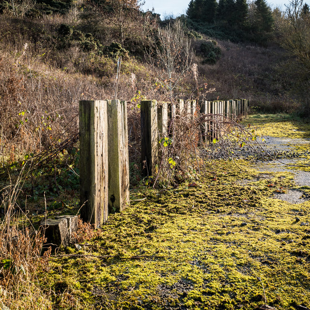
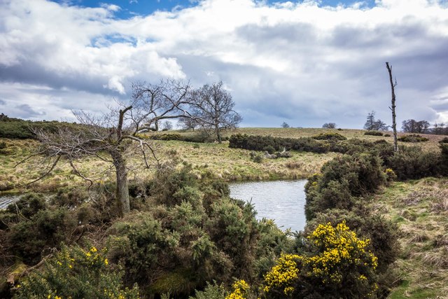
Cairnie Hill Images

Images are sourced within 2km of 56.326342/-3.1670267 or Grid Reference NO2715. Thanks to Geograph Open Source API. All images are credited.

Pathcondie from Monimail Looking north-westwards up the hill from Monimail towards Pathcondie.
Pathcondie from Monimail
Looking north-westwards up the hill from Monimail towards Pathcondie.
Sheepfold at Dunboghill
Abandoned farm at Gowdie Wonderful views to the south and east, with Hopetown monument just visible on the skyline
Abandoned farm at Gowdie
Wonderful views to the south and east, with Hopetown monument just visible on the skyline
Stubble, Cairneyhall A field beside the Loch of Lindores.
Stubble, Cairneyhall
A field beside the Loch of Lindores.
Pier, Lindores Loch Clear, shallow water by the boat pier.
Pier, Lindores Loch
Clear, shallow water by the boat pier.
Piers, Lindores Loch Fishing boats tied up at the end of the season.
Piers, Lindores Loch
Fishing boats tied up at the end of the season.
Lindores Loch
Lindores Loch
Fishing boats, Loch of Lindores Tied up at the end of the season.
Fishing boats, Loch of Lindores
Tied up at the end of the season.
Dunbog to Monimail track, looking South West This old unmetalled track runs from Monimail to Dunbog over the North Fife Hills. There is evidence of a route here dating back to the 17th Century
Dunbog to Monimail track, looking South West
This old unmetalled track runs from Monimail to Dunbog over the North Fife Hills. There is evidence of a route here dating back to the 17th Century
View across Inchrye reedbeds to Glenduckie and Norman's Law Standing on the Dunbog to Lindores Loch track looking North East. The extensive reedbeds aren't named on the map but lie between Inchrye and Dunbog. On the Northern side is a dismantled railway that used to connect the Den of Lindores with Kilmany and then Wormit ... now long gone. In the distance is Norman's Law, the highest point in the North Fife Hills.
View across Inchrye reedbeds to Glenduckie and Norman's Law
Standing on the Dunbog to Lindores Loch track looking North East. The extensive reedbeds aren't named on the map but lie between Inchrye and Dunbog. On the Northern side is a dismantled railway that used to connect the Den of Lindores with Kilmany and then Wormit ... now long gone. In the distance is Norman's Law, the highest point in the North Fife Hills.
Gate on Collessie to Lindores Loch path This path, not shown on the OS maps of the area, connects Collessie to Lindores Loch and is one of the way marked Fife Corepaths. West Lomond Hill is in the background, approximately 7 miles away as the crow flies
Gate on Collessie to Lindores Loch path
This path, not shown on the OS maps of the area, connects Collessie to Lindores Loch and is one of the way marked Fife Corepaths. West Lomond Hill is in the background, approximately 7 miles away as the crow flies
Dunbog windmill One of two new identical wind turbines on the Dunbog to Monimail track. These were erected in July/August 2016 and commissioned shortly afterwards. The image is of the more southerly of the two.
Dunbog windmill
One of two new identical wind turbines on the Dunbog to Monimail track. These were erected in July/August 2016 and commissioned shortly afterwards. The image is of the more southerly of the two.
Railway Bridge near Cairneyhall Farm The railway (Perth to Edinburgh line) goes over a farm track that joins the Newburgh to Collessie road near the southern end of Lindores Loch
Railway Bridge near Cairneyhall Farm
The railway (Perth to Edinburgh line) goes over a farm track that joins the Newburgh to Collessie road near the southern end of Lindores Loch
Strange enclosure near Woodmill Mains This is one side of an enclosure fenced with railway sleepers, perhaps 30-35 each side flanking a single track road width of concreted level ground. All of it is in a poor state now. The enclosure is just off a track opposite Woodmill Mains. Considering its age and construction it may have been something to do with the railway that is immediately adjacent the nearby Newburgh to Collessie road.
Strange enclosure near Woodmill Mains
This is one side of an enclosure fenced with railway sleepers, perhaps 30-35 each side flanking a single track road width of concreted level ground. All of it is in a poor state now. The enclosure is just off a track opposite Woodmill Mains. Considering its age and construction it may have been something to do with the railway that is immediately adjacent the nearby Newburgh to Collessie road.
View to Dunbog Hill and windmills Dunbog Hill is on the right. The track skirts the southern edge of the low lying marshy ground at the foot of Dunbog Hill.
View to Dunbog Hill and windmills
Dunbog Hill is on the right. The track skirts the southern edge of the low lying marshy ground at the foot of Dunbog Hill.
Abandoned cattle feeders Monimail to Dunbog track These cattle feeders are on the old track between Monimail and Dunbog at the junction with the track to Cairneyhill Farm and Lindores Loch. The new wind turbine can just be seen through the haze as the track dips down to Dunbog. This is a good place to stop for a rest when walking or mountain biking over the North Fife Hills. Note that there is at least one additional photograph of these feeders on Geograph mapped to the wrong location.
Abandoned cattle feeders Monimail to Dunbog track
These cattle feeders are on the old track between Monimail and Dunbog at the junction with the track to Cairneyhill Farm and Lindores Loch. The new wind turbine can just be seen through the haze as the track dips down to Dunbog. This is a good place to stop for a rest when walking or mountain biking over the North Fife Hills. Note that there is at least one additional photograph of these feeders on Geograph mapped to the wrong location.
Small pond on Baw Hill Small pond near the top of Baw Hill. This is a little visited part of the North Fife hills. The top of East Lomond hill can just be seen on the skyline between the two distant trees.
Small pond on Baw Hill
Small pond near the top of Baw Hill. This is a little visited part of the North Fife hills. The top of East Lomond hill can just be seen on the skyline between the two distant trees.
Old Milestone by the A913, near Lindores, Abdie parish B type by the A913, in parish of Abdie (Fife District), Lindores, on verge 300m East of B937 junction.

Inscription once read:-
: (Newburgh / 2¼) : : (Cupar / 8) :
 
Surveyed

Milestone Society National ID: FF_CPPT08
Old Milestone by the A913, near Lindores, Abdie parish
B type by the A913, in parish of Abdie (Fife District), Lindores, on verge 300m East of B937 junction. Inscription once read:- : (Newburgh / 2¼) : : (Cupar / 8) : Surveyed Milestone Society National ID: FF_CPPT08
Show me another place!

Cairnie Hill is located at Grid Ref: NO2715 (Lat: 56.326342, Lng: -3.1670267)

Unitary Authority: Fife

Police Authority: Fife

What 3 Words

///reframe.refrain.flamenco. Near Newburgh, Fife

Nearby Locations

Cairnie Hill

Related Wikis

Cairnie Hill

Cairnie Hill lies at the eastern end of the Ochil Hills, above the village of Collessie Scotland. It is the highest point of a small upland area between...
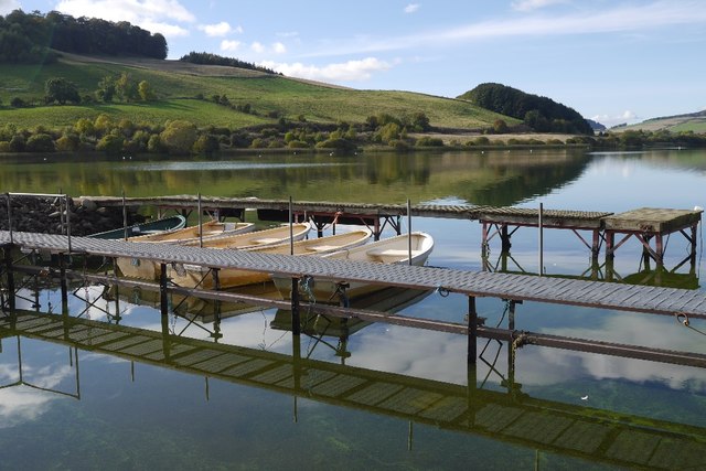
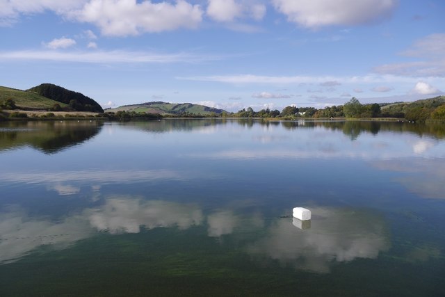
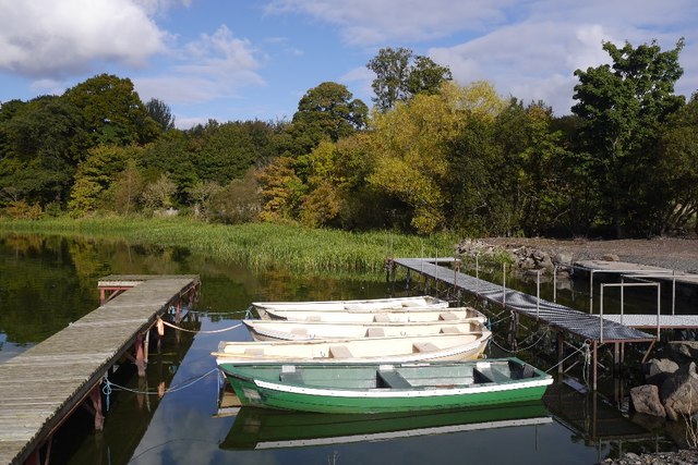
Lindores Loch

Lindores Loch is a freshwater loch, situated in North Fife in the Parish of Abdie, in the Central Belt of Scotland. The Loch has for many years been used...

Dunbog

Dunbog is a parish in the county of Fife in Scotland which is now (since 1983) united with the neighbouring parish of Abdie, Dunbog kirk closing at that...

Lindores railway station

Lindores railway station served the village of Lindores, Fife, Scotland from 1909 to 1951 on the Newburgh and North Fife Railway. == History == The station...

Lindores

Lindores is a small village in Fife, Scotland, in the parish of Abdie, about 2 miles south-east of Newburgh. It is situated on the north-east shore of...
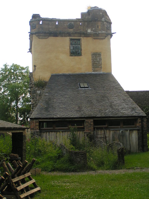
Palace of Monimail

The Palace of Monimail, also known as Monimail Tower, was a Renaissance palace in Fife, Scotland. A residence of the Archbishops of St Andrews from the...

Lindores (E&NR) railway station

Lindores (E&NR) railway station was a temporary terminus that served the village of Lindores, Fife, Scotland in 1847 on the Edinburgh and Northern Railway...

Collessie railway station

Collessie railway station served the village of Collessie, Fife, Scotland from 1847 to 1955 on the Edinburgh and Northern Railway. == History == The station...

Nearby Amenities

Located within 500m of 56.326342,-3.1670267
Cairnie Hill
Corbett: no
Ele: 228
Graham: no
Marilyn: yes
Munro: no
Natural: peak
Prominence: 150
Source: OS Maps
Wikidata: Q5017697
Wikipedia: en:Cairnie Hill
Lat/Long: 56.3263325/-3.1668864
The data included in this document is from www.openstreetmap.org. The data is made available under ODbL.

Have you been to Cairnie Hill?

Leave your review of Cairnie Hill below (or comments, questions and feedback).