Broom Hill
Hill, Mountain in Angus
Scotland
Broom Hill
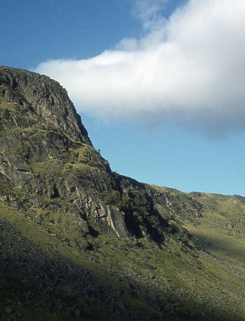
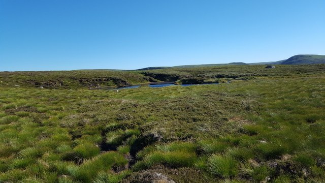
Broom Hill is a small hill located in the Angus region of Scotland. Situated near the village of Glamis, it is part of the larger Sidlaw Hills range. Standing at an elevation of approximately 1,106 feet (337 meters), it is considered a modest hill compared to its neighboring peaks.
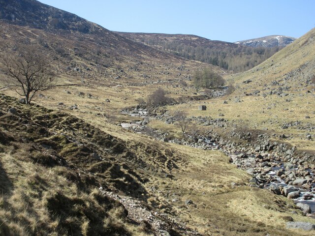
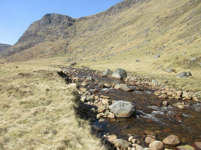
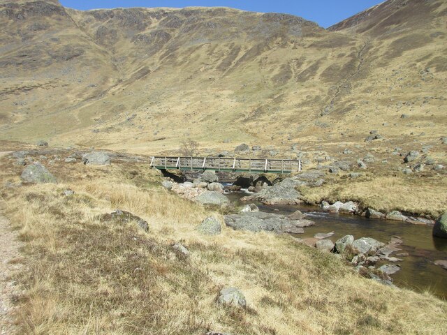
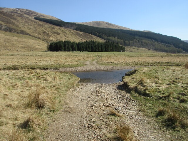
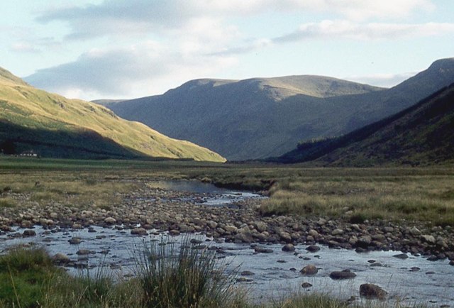
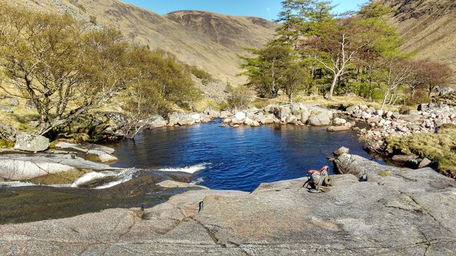
Broom Hill is characterized by its gentle slopes and rounded summit, covered in heather and grasses. The hill offers panoramic views of the surrounding countryside, including the fertile Strathmore Valley and the distant Grampian Mountains. On clear days, it is possible to see as far as the North Sea.
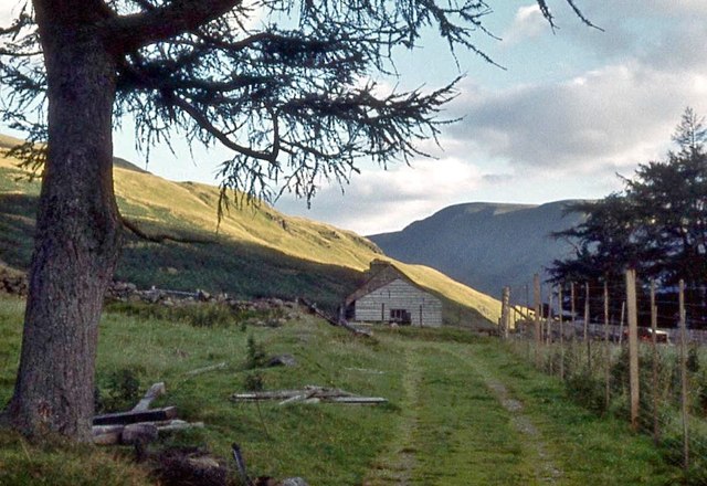
The hill is a popular destination for hikers and nature enthusiasts, offering several well-marked trails that lead to the summit. The ascent is relatively easy and can be completed within a few hours. The surrounding area is known for its diverse wildlife, including birds of prey, deer, and various small mammals.
Broom Hill also holds historical significance, as it is believed to have been a site of ancient settlements. Archaeological excavations have uncovered artifacts dating back to the Bronze Age, suggesting human activity in the area for thousands of years.
Overall, Broom Hill provides a picturesque and accessible outdoor experience for visitors, combining natural beauty with historical intrigue. Whether it is for a leisurely hike, bird watching, or simply enjoying the peacefulness of the Scottish countryside, Broom Hill offers something for everyone.
If you have any feedback on the listing, please let us know in the comments section below.
Broom Hill Images
Images are sourced within 2km of 56.904151/-3.1864218 or Grid Reference NO2779. Thanks to Geograph Open Source API. All images are credited.


Broom Hill is located at Grid Ref: NO2779 (Lat: 56.904151, Lng: -3.1864218)
Unitary Authority: Aberdeenshire
Police Authority: North East
What 3 Words
///diplomas.obliging.importers. Near Ballater, Aberdeenshire
Nearby Locations
Related Wikis
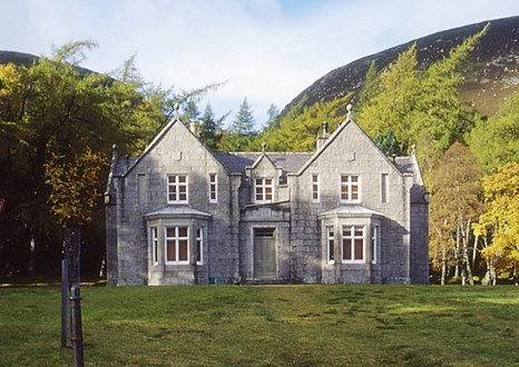
Glas-allt-Shiel
Glas-allt-Shiel is a lodge on the Balmoral Estate by the shore of Loch Muick in Aberdeenshire, Scotland. In its present form it was built in 1868 by Queen...

Falls of Glas Allt
Falls of Glas Allt is a 50-metre (160 ft) waterfall near the head of Loch Muick, Aberdeenshire, Scotland. Queen Victoria liked to take walks here beside...
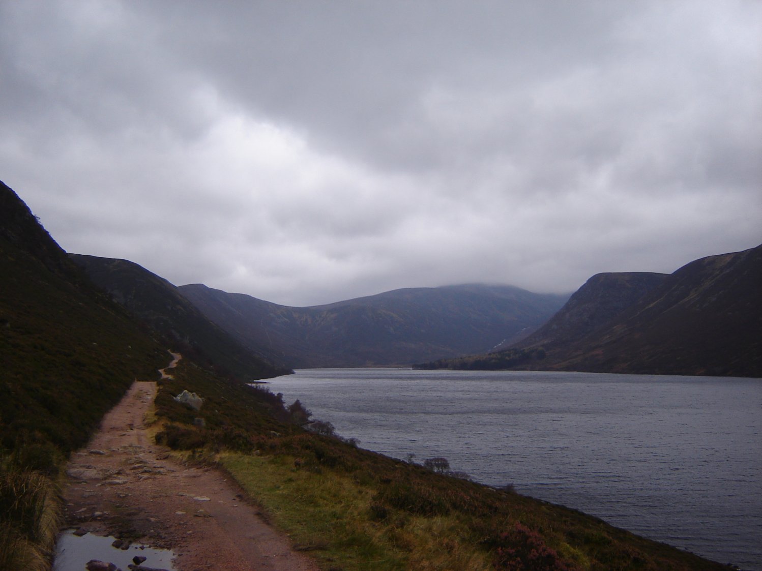
Loch Muick
Loch Muick (; Gaelic: Uisge Muice (pronounced [ɯʃkʲəˈmɯçkʲə])) is an upland, freshwater loch lying approximately 5 mi (8.0 km) south of Braemar, Scotland...

Broad Cairn
Broad Cairn is a mountain in the Grampians of Scotland, located about sixteen miles south of the River Dee near Balmoral.
Nearby Amenities
Located within 500m of 56.904151,-3.1864218Have you been to Broom Hill?
Leave your review of Broom Hill below (or comments, questions and feedback).