Fullwood Hill
Hill, Mountain in Dumfriesshire
Scotland
Fullwood Hill
The requested URL returned error: 429 Too Many Requests
If you have any feedback on the listing, please let us know in the comments section below.
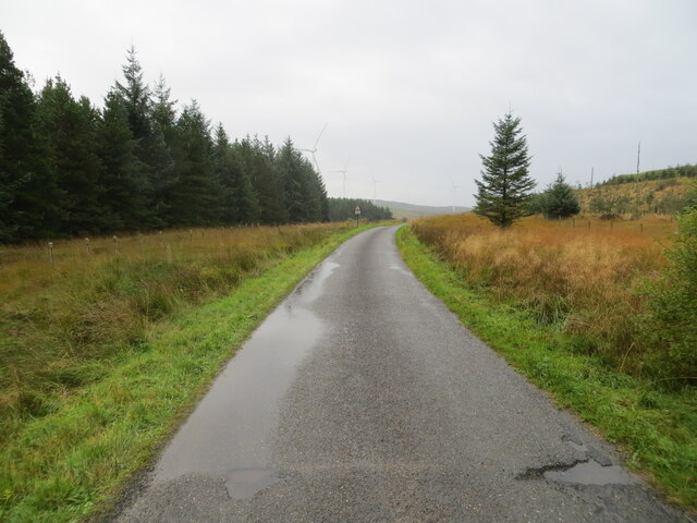
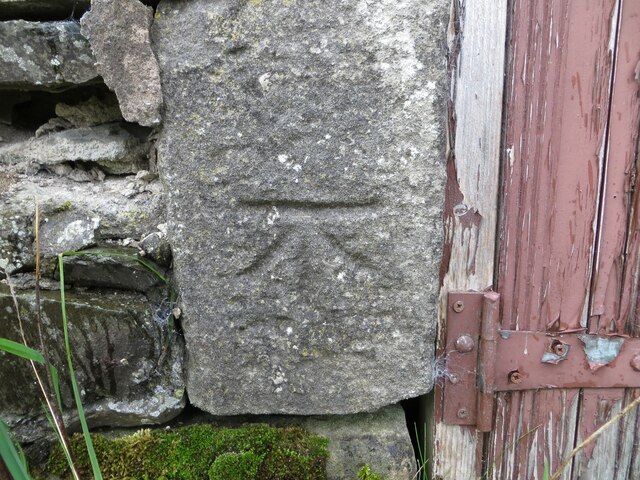
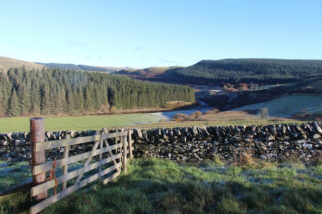
Fullwood Hill Images
Images are sourced within 2km of 55.201701/-3.1402484 or Grid Reference NY2790. Thanks to Geograph Open Source API. All images are credited.


Fullwood Hill is located at Grid Ref: NY2790 (Lat: 55.201701, Lng: -3.1402484)
Unitary Authority: Dumfries and Galloway
Police Authority: Dumfries and Galloway
What 3 Words
///agreement.insects.unstated. Near Bentpath, Dumfries & Galloway
Nearby Locations
Related Wikis

Bentpath
Bentpath is a small village between Eskdalemuir and Langholm in Dumfries and Galloway, Scotland. It is located on the River Esk and has a church and a...

Eskdale (Scotland)
Eskdale (Scottish Gaelic: Eisgeadal, IPA:[ˈeʃkʲət̪əɫ̪]) is a glen and former lordship in the county of Dumfriesshire, Scotland. The River Esk flows through...
Castle O'er Forest
Castle O'er Forest is a forest south of Eskdalemuir, Dumfries and Galloway, in southern Scotland.It is bisected by the River Esk. Eskdalemuir Forest adjoins...

Whitcastles stone circle
Whitcastles or Little Hartfell (grid reference NY 2240 8806) is a stone circle 6½ miles NE of Lockerbie, Dumfries and Galloway. Nine fallen stones lie...
Have you been to Fullwood Hill?
Leave your review of Fullwood Hill below (or comments, questions and feedback).