Black Hill
Hill, Mountain in Herefordshire
England
Black Hill

Black Hill is a prominent hill located in the county of Herefordshire, England. With an elevation of 582 meters (1,909 feet), it stands as one of the highest points in the region. Situated within the Malvern Hills Area of Outstanding Natural Beauty, this hill offers breathtaking panoramic views of the surrounding countryside.
Covered in heather and gorse, Black Hill boasts a distinctive dark appearance, which is believed to have inspired its name. It is composed primarily of ancient igneous rocks, such as diorite and dolerite, giving it a unique geological character. The hill is also home to a diverse range of flora and fauna, including heathland plants, birds of prey, and several species of butterflies.
Access to Black Hill is facilitated by a network of footpaths and bridleways, making it a popular destination for hikers, nature enthusiasts, and mountain bikers. The Malvern Hills Conservators manage the area, ensuring the preservation of its natural beauty and wildlife.
At the summit of Black Hill, visitors can witness stunning views of the surrounding countryside, including the lush Herefordshire plains, the nearby Malvern Hills, and even glimpses of the Welsh mountains on clear days. The hill provides a peaceful and tranquil setting, serving as an escape from the hustle and bustle of everyday life.
Overall, Black Hill is a remarkable natural landmark in Herefordshire, offering a unique combination of geological interest, scenic beauty, and recreational opportunities for locals and visitors alike.
If you have any feedback on the listing, please let us know in the comments section below.
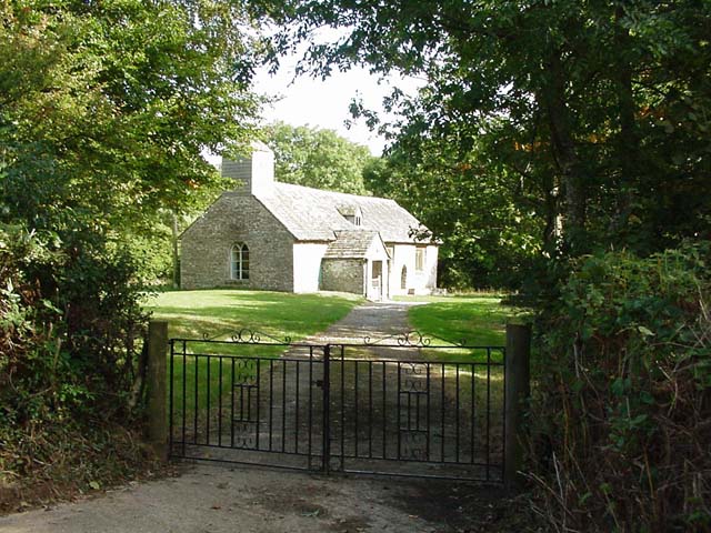
Black Hill Images
Images are sourced within 2km of 52.006967/-3.057879 or Grid Reference SO2734. Thanks to Geograph Open Source API. All images are credited.


Black Hill is located at Grid Ref: SO2734 (Lat: 52.006967, Lng: -3.057879)
Unitary Authority: County of Herefordshire
Police Authority: West Mercia
What 3 Words
///lengthen.legal.swooned. Near Llanveynoe, Herefordshire
Nearby Locations
Related Wikis

Black Hill (Herefordshire)
The Black Hill (also known as Crib y Garth) is a hill (elevation 2100 feet or 640m) in the Black Mountains in Herefordshire, England at grid reference...
Craswall
Craswall (historically also spelt Craswell, Crasswall and Crosswold) is a village and civil parish in Herefordshire, England. It lies in the far west...

Black Mountain South Top
Black Mountain South Top is a top of Black Mountain in the Black Mountains range that spreads across parts of Powys and Monmouthshire in southeast Wales...

Black Mountain (hill)
The Black Mountain (Welsh: Twyn Llech), is a mountain in the Black Mountains. It is the only Marilyn to fall exactly on the Welsh–English border, Powys...
Related Videos
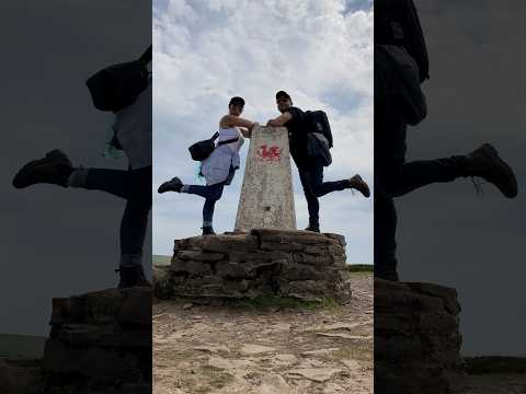
Hay Bluff and Wild Horses #Wales #BlackMountains #HayBluff #WildHorses #Travel
On a trip to Wales and the Black Mountains, we decided to climb Hay Bluff or Penybegwn as it's known in Welsh. A pretty steep ...
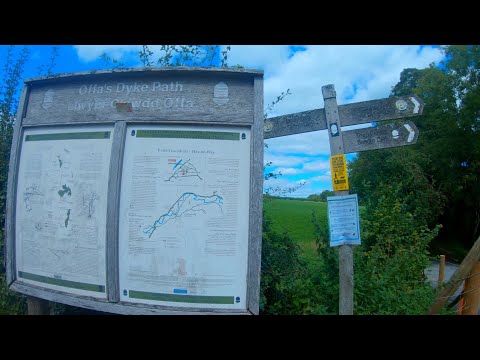
Hiking the Offa's Dyke Path: Hay Bluff to Newchurch
On the Offa's Dyke Path we headed to Hay Bluff, to walk to Newchurch. Stopping in Hay for lunch was a good break after we ...

Nearby Amenities
Located within 500m of 52.006967,-3.057879Have you been to Black Hill?
Leave your review of Black Hill below (or comments, questions and feedback).