Castle Hill
Hill, Mountain in Morayshire
Scotland
Castle Hill

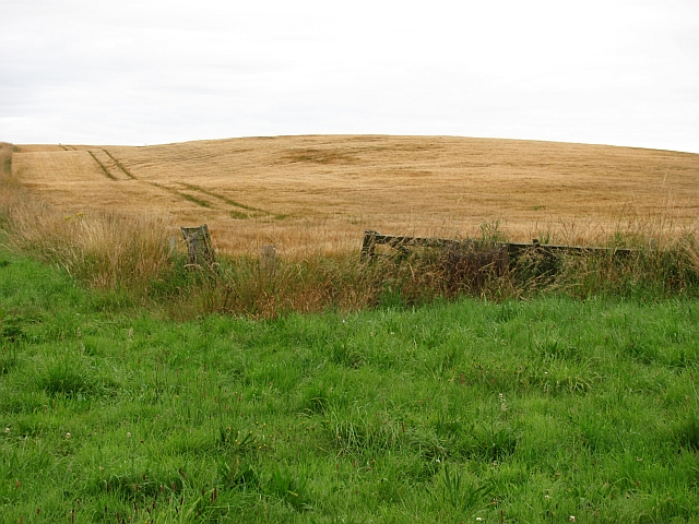
Castle Hill is a prominent landmark located in Morayshire, Scotland. Situated in the heart of the region, the hill is characterized by its commanding presence and historical significance. Standing at an elevation of approximately 200 meters, it offers panoramic views of the surrounding countryside, making it a popular destination for tourists and locals alike.
The hill gets its name from the ruins of a medieval castle that once stood atop its summit. Dating back to the 12th century, the castle played a significant role in the region's turbulent past. Today, only a few remnants of the castle remain, but they serve as a reminder of its former grandeur and importance.
The ascent to the top of Castle Hill is relatively steep, but well-maintained pathways and steps have been created to facilitate the climb. As visitors make their way up, they can appreciate the diverse flora and fauna that inhabit the hillside, including heather, gorse, and various species of birds.
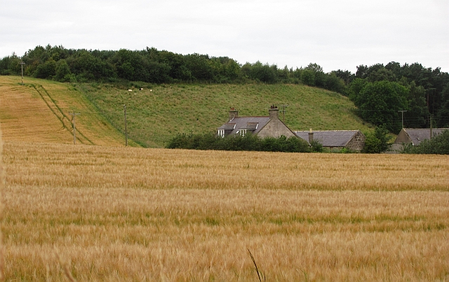
Once atop the hill, visitors are rewarded with breathtaking views of the Moray Firth, the Grampian Mountains, and the picturesque countryside that stretches out before them. On clear days, it is even possible to catch a glimpse of distant landmarks such as Ben Rinnes and the Cairngorms.
Castle Hill also holds cultural significance, as it is believed to be the site of an ancient Pictish fort. The hill's strategic location would have provided an ideal vantage point for the Picts to survey their territory and defend against potential invaders.
Overall, Castle Hill in Morayshire is a place where history, nature, and stunning vistas converge, offering visitors a unique and enriching experience.
If you have any feedback on the listing, please let us know in the comments section below.
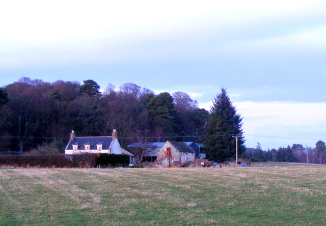
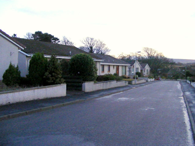
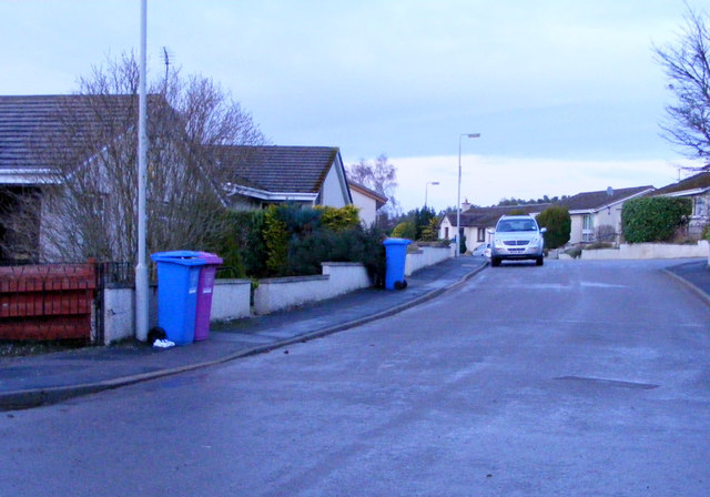
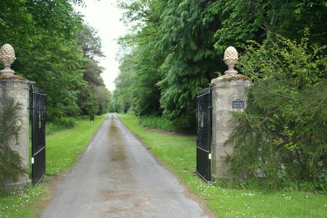
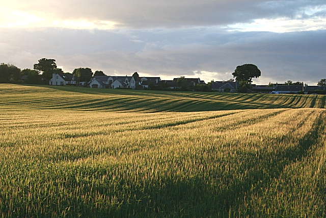
Castle Hill Images
Images are sourced within 2km of 57.654554/-3.2183406 or Grid Reference NJ2763. Thanks to Geograph Open Source API. All images are credited.


Castle Hill is located at Grid Ref: NJ2763 (Lat: 57.654554, Lng: -3.2183406)
Unitary Authority: Moray
Police Authority: North East
What 3 Words
///residual.opposites.lyrics. Near Lhanbryde, Moray
Nearby Locations
Related Wikis

Urquhart railway station
Urquhart railway station was a railway station serving the village of Urquhart, parish of Urquhart, Moray. The railway station was opened by the Great...
Urquhart, Moray
Urquhart ( ; Scottish Gaelic: Urchard) is a small village in Moray, Scotland. It is approximately 5 miles (8 km) east of Elgin, between the villages of...

Urquhart Priory
Urquhart Priory was a Benedictine monastic community in Moray; the priory was dedicated to the Holy Trinity. It was founded by King David I of Scotland...

RAF Milltown
Royal Air Force Milltown or RAF Milltown is a former Royal Air Force station located south of the Moray Firth and 3.6 miles (5.8 km) north east of Elgin...
Calcots railway station
Calcots railway station was a railway station in the parish of St Andrews-Lhanbryd, Moray. The railway station was opened by the Great North of Scotland...

Lhanbryde
Lhanbryde (Gaelic: Lann Brìghde) is a village that lies 4 miles (6.4 km) east of Elgin in Moray, Scotland. Previously bisected by the A96, it was bypassed...

Lhanbryde railway station
Lhanbryde railway station served the village of Lhanbryde, Moray, Scotland from 1858 to 1964 on the Inverness and Aberdeen Junction Railway. == History... ==

Coxton Tower
Coxton Tower is a late sixteenth-century tower house in Moray, Scotland. Heavily fortified, it was built around 1590, with substantive repairs in 1635...
Nearby Amenities
Located within 500m of 57.654554,-3.2183406Have you been to Castle Hill?
Leave your review of Castle Hill below (or comments, questions and feedback).