Cairn Broadlands

Hill, Mountain in Angus

Scotland

Cairn Broadlands

The White Water burn The burn flows through Glen Doll.
The White Water burn Credit: Iain Russell

Cairn Broadlands is a prominent hill located in Angus, Scotland. Situated in the eastern part of the county, it forms part of the picturesque landscape that characterizes this region. With an elevation of approximately 542 meters (1,778 feet), it is a popular destination for hikers and outdoor enthusiasts.

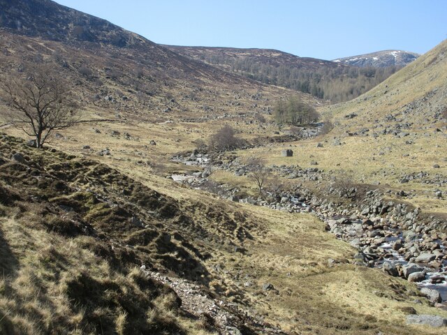
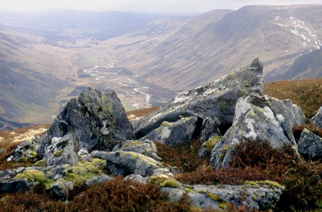
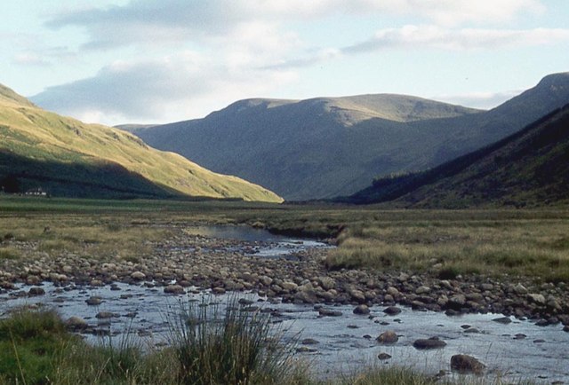
The hill offers breathtaking views of the surrounding countryside, including the nearby towns of Forfar and Kirriemuir. Its position also provides visitors with panoramic vistas of the Angus Glens and the Grampian Mountains in the distance. On clear days, it is even possible to catch a glimpse of the North Sea shimmering on the eastern horizon.

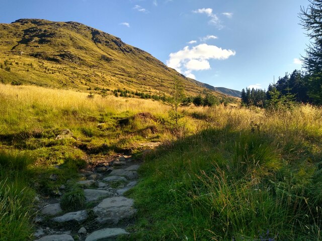
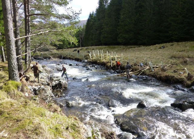
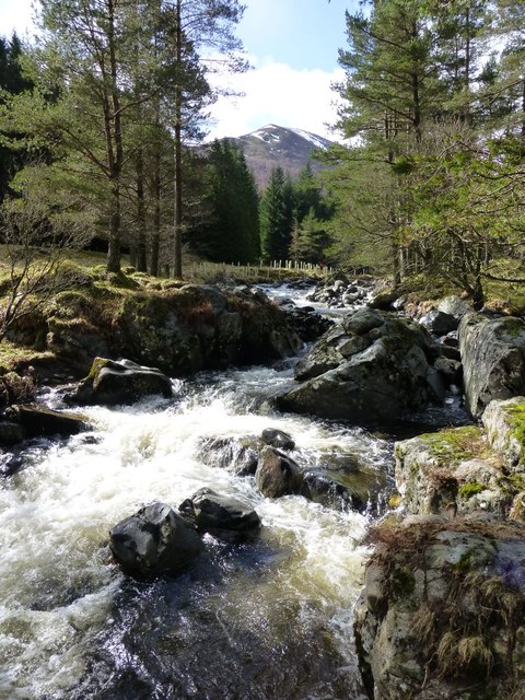
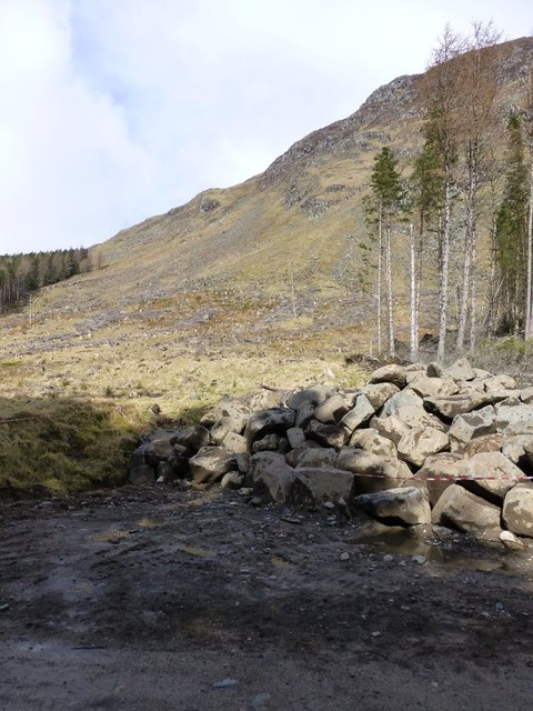
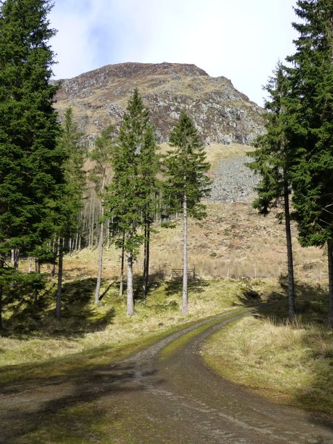
Cairn Broadlands is easily accessible, with a well-maintained path leading to the summit. The route, though relatively steep at times, is not overly challenging and can be undertaken by individuals with a moderate level of fitness. As hikers ascend the hill, they are treated to a diverse array of flora and fauna, including heather, wildflowers, and various bird species.

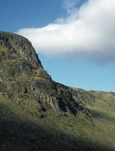
At the summit, there is a cairn, a traditional pile of stones, which gives the hill its name. This cairn serves as a marker and a point of interest for visitors, who often take a moment to rest and soak in the magnificent views. It is also a popular spot for picnics and photography, with many people capturing the beauty of the Angus countryside from this vantage point.

Overall, Cairn Broadlands is a stunning natural attraction that showcases the natural beauty of Angus and provides a rewarding experience for those who venture to its summit.

If you have any feedback on the listing, please let us know in the comments section below.

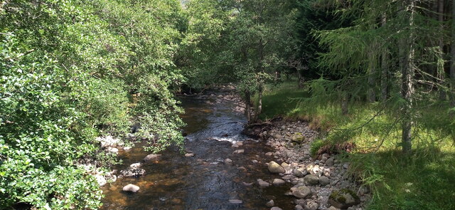
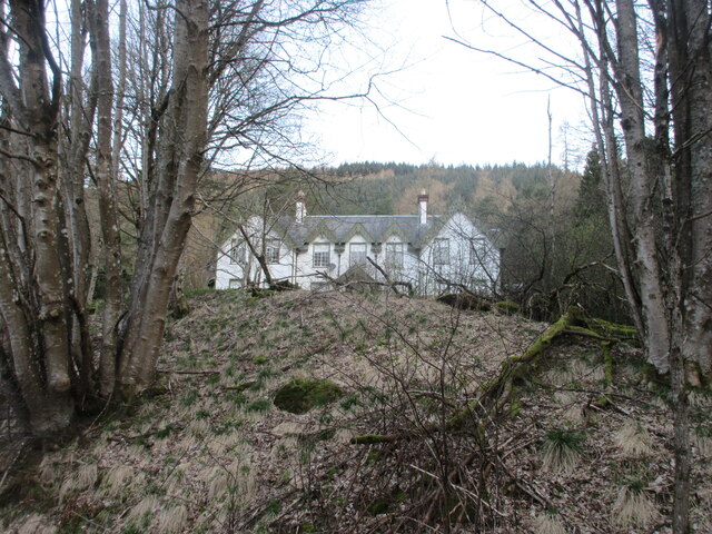
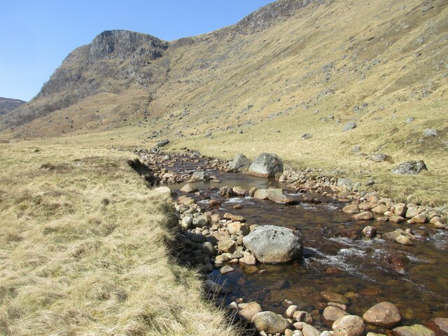
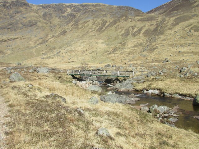
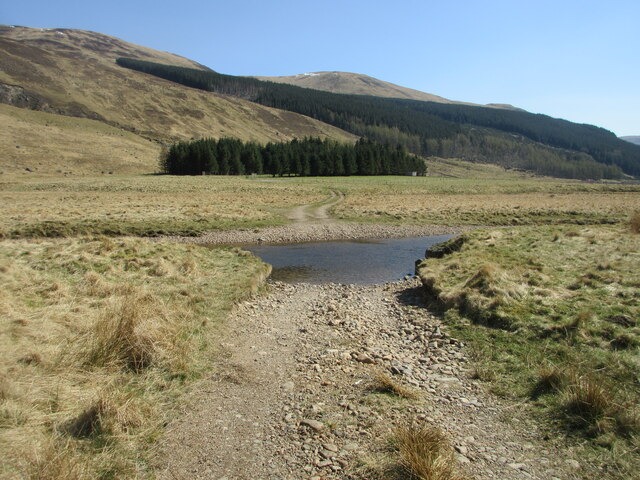
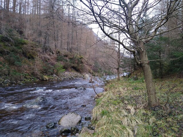
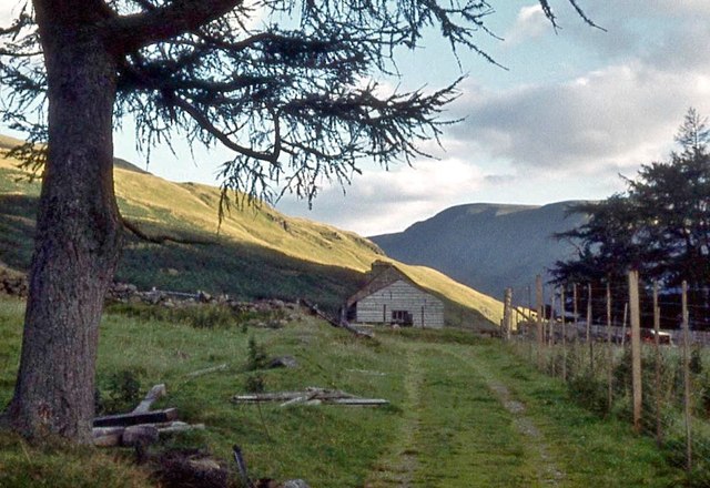
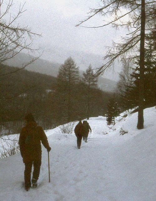
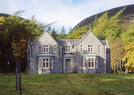
Cairn Broadlands Images

Images are sourced within 2km of 56.885639/-3.1981606 or Grid Reference NO2777. Thanks to Geograph Open Source API. All images are credited.

The White Water burn The burn flows through Glen Doll.
The White Water burn
The burn flows through Glen Doll.
Kilbo Path Here the Kilbo Path leaves the forest and reaches the (mostly) open hillside. It will once again cross through a bit of woodland further up.
Kilbo Path
Here the Kilbo Path leaves the forest and reaches the (mostly) open hillside. It will once again cross through a bit of woodland further up.
Glendoll Lodge Glendoll Lodge from the track to the south.
Glendoll Lodge
Glendoll Lodge from the track to the south.
Upper reach of the South Esk Looking up the River South Esk towards Bachnagairn.
Upper reach of the South Esk
Looking up the River South Esk towards Bachnagairn.
Upper River South Esk The River South Esk in its upper reach, with Juanjorge beyond.
Upper River South Esk
The River South Esk in its upper reach, with Juanjorge beyond.
Footbridge over the South Esk Wooden footbridge crossing the River South Esk above Moulzie.
Footbridge over the South Esk
Wooden footbridge crossing the River South Esk above Moulzie.
Bridgeless crossing of the South Esk Ford over the River South Esk near Moulzie.
Bridgeless crossing of the South Esk
Ford over the River South Esk near Moulzie.
River South Esk Just to the right of this place there is a designated camping area (without any facilities).
River South Esk
Just to the right of this place there is a designated camping area (without any facilities).
On Craig Mellon at the head of Glen Clova
Work party planting trees beside White Water  The first problem is to get the posts and fencing across the river to make an enclosure to keep out the deer before planting any trees.
Work party planting trees beside White Water
The first problem is to get the posts and fencing across the river to make an enclosure to keep out the deer before planting any trees.
Cascade on the White Water Shank of Drumfollow in the distance.
Cascade on the White Water
Shank of Drumfollow in the distance.
Pile of rocks beside track Not the usual cairn!
Craig Mellon in the background with its lower slopes clear felled.
Pile of rocks beside track
Not the usual cairn! Craig Mellon in the background with its lower slopes clear felled.
Forest track  On lower slopes of Craig Mellon
Forest track
On lower slopes of Craig Mellon
Enclosure to keep out deer To protect recently planted broad-leafed trees.
Beside White Water.
Enclosure to keep out deer
To protect recently planted broad-leafed trees. Beside White Water.
Juanjorge
Juanjorge
The South Esk towards Moulzie
Approaching Moulzie
Approaching Moulzie
Winter walking in Glendoll
Show me another place!

Cairn Broadlands is located at Grid Ref: NO2777 (Lat: 56.885639, Lng: -3.1981606)

Unitary Authority: Angus

Police Authority: Tayside

What 3 Words

///unhappily.walled.mimed. Near Ballater, Aberdeenshire

Nearby Locations

Cairn Broadlands

Related Wikis

Glen Doll

Glen Doll, also sometimes spelt Glendoll, lies within the Cairngorms National Park, Scotland, at the top of Glen Clova, in an area of steep hills, corries...

Corrie Fee

Corrie Fee is a glacier-carved corrie situated at the head of Glen Clova in the Angus Glens of Scotland. It forms part of Corrie Fee National Nature Reserve...

Driesh

Driesh (Gaelic: Dris) is a mountain located in the Grampians of Scotland. Apart from Mount Keen (939 m/3,080 ft), it is the most easterly of the Munro...

Glas-allt-Shiel

Glas-allt-Shiel is a lodge on the Balmoral Estate by the shore of Loch Muick in Aberdeenshire, Scotland. In its present form it was built in 1868 by Queen...

Nearby Amenities

Located within 500m of 56.885639,-3.1981606
Cairn Broadlands
Ele: 852
Natural: peak
Lat/Long: 56.8859435/-3.1974426
The data included in this document is from www.openstreetmap.org. The data is made available under ODbL.

Have you been to Cairn Broadlands?

Leave your review of Cairn Broadlands below (or comments, questions and feedback).