Cowden Hill
Hill, Mountain in Fife
Scotland
Cowden Hill
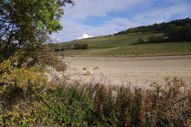
Cowden Hill, located in Fife, Scotland, is a prominent feature of the local landscape. Rising to an elevation of approximately 292 meters (958 feet), it qualifies as a hill rather than a mountain. Situated in the eastern part of the country, Cowden Hill boasts stunning panoramic views of the surrounding countryside and the Firth of Tay.
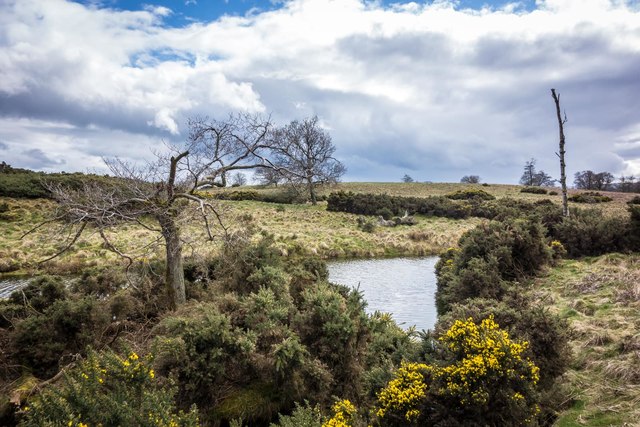
The hill is characterized by its gentle slopes and is covered in a mix of grasses, heather, and scattered trees. These natural features lend a picturesque quality to the area, particularly during the summer months when wildflowers bloom and add vibrant splashes of color to the landscape.
Cowden Hill is a popular destination for hikers and nature enthusiasts, offering various trails and paths for exploration. Visitors can enjoy a leisurely walk to the summit, from which they can soak in breathtaking vistas of the nearby Lomond Hills and the coastline. On a clear day, it is even possible to see as far as the Angus Glens and the Grampian Mountains.
The hill is also home to a diverse range of wildlife, including various bird species, rabbits, and occasionally roe deer. It serves as an important habitat for these creatures, as well as a peaceful retreat for those seeking tranquility amidst nature.
Overall, Cowden Hill in Fife provides an idyllic escape for outdoor enthusiasts, offering stunning views, recreational opportunities, and a chance to immerse oneself in the natural beauty of the Scottish countryside.
If you have any feedback on the listing, please let us know in the comments section below.
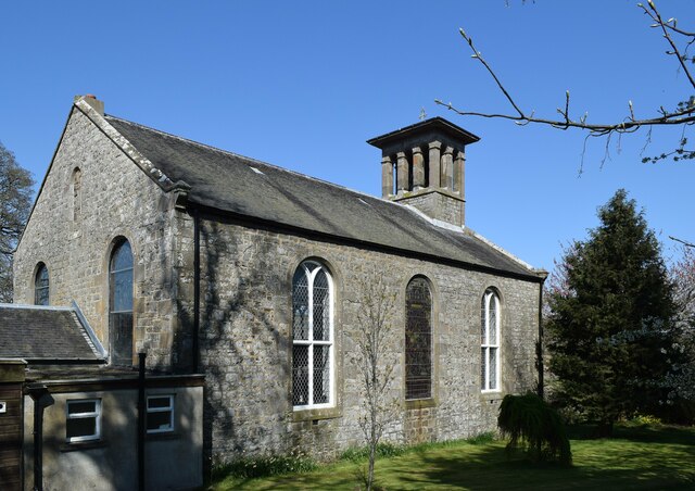
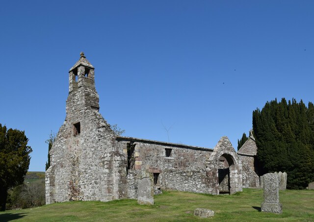
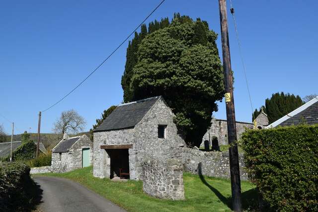
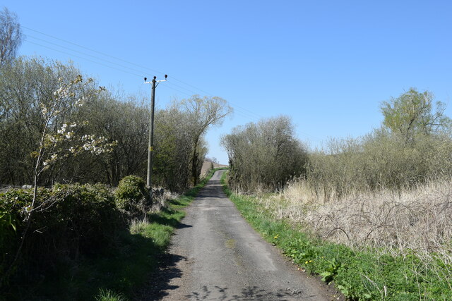
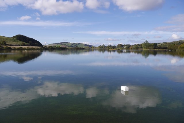
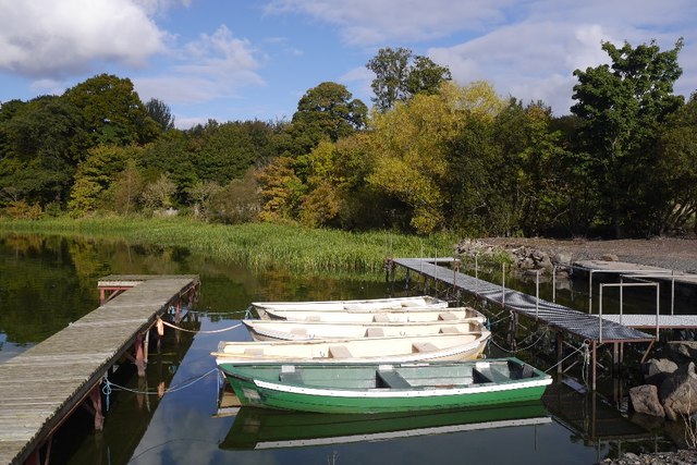
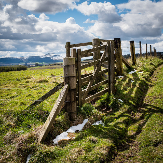
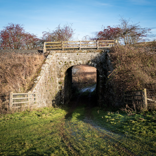
Cowden Hill Images
Images are sourced within 2km of 56.324959/-3.187683 or Grid Reference NO2615. Thanks to Geograph Open Source API. All images are credited.


Cowden Hill is located at Grid Ref: NO2615 (Lat: 56.324959, Lng: -3.187683)
Unitary Authority: Fife
Police Authority: Fife
What 3 Words
///unfocused.dandelions.emeralds. Near Newburgh, Fife
Nearby Locations
Related Wikis

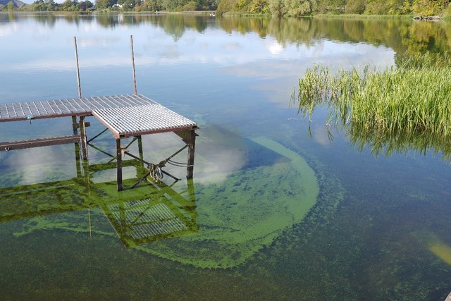
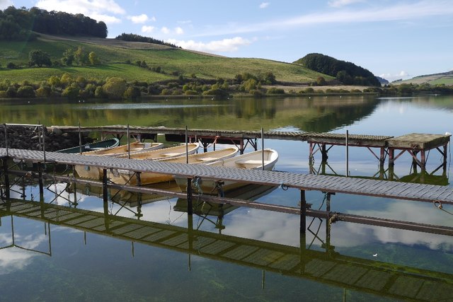
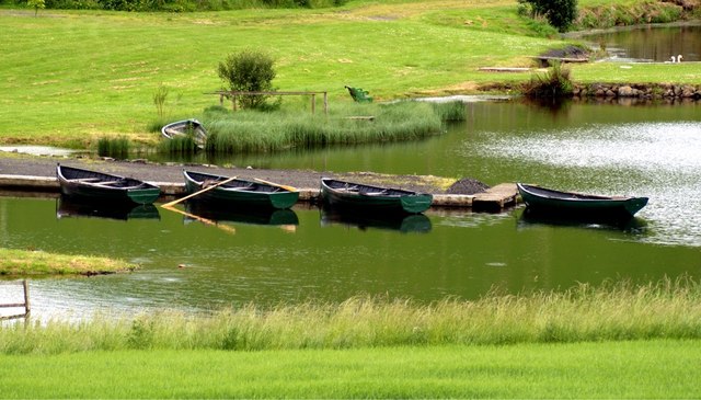
Lindores Loch
Lindores Loch is a freshwater loch, situated in North Fife in the Parish of Abdie, in the Central Belt of Scotland. The Loch has for many years been used...

Cairnie Hill
Cairnie Hill lies at the eastern end of the Ochil Hills, above the village of Collessie Scotland. It is the highest point of a small upland area between...

Lindores (E&NR) railway station
Lindores (E&NR) railway station was a temporary terminus that served the village of Lindores, Fife, Scotland in 1847 on the Edinburgh and Northern Railway...
Lindores
Lindores is a small village in Fife, Scotland, in the parish of Abdie, about 2 miles south-east of Newburgh. It is situated on the north-east shore of...
Nearby Amenities
Located within 500m of 56.324959,-3.187683Have you been to Cowden Hill?
Leave your review of Cowden Hill below (or comments, questions and feedback).