Beacon Hill
Hill, Mountain in Lancashire South Lakeland
England
Beacon Hill
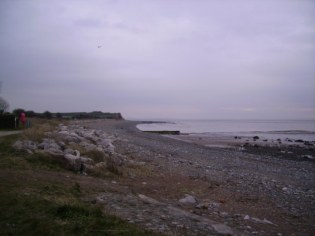
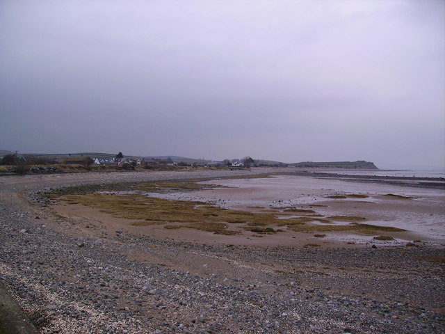
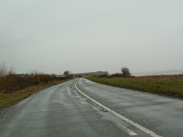
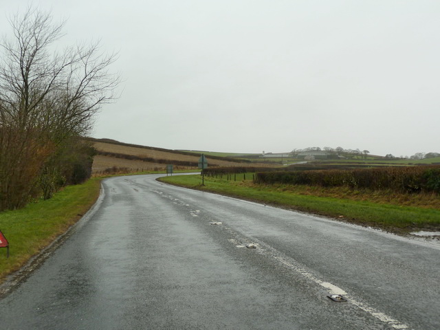
Beacon Hill is a prominent hill located in the county of Lancashire, England. It is situated near the village of Dalton, in the borough of West Lancashire. Rising to a height of approximately 214 meters (702 feet), Beacon Hill is known for its commanding views of the surrounding countryside.
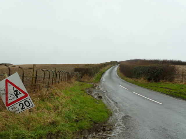
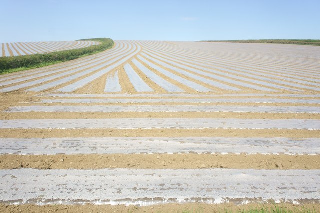
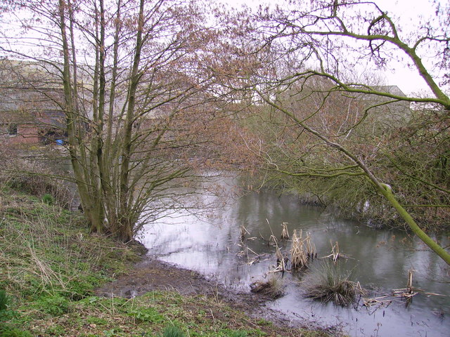
The hill is a popular destination for outdoor enthusiasts, offering various walking trails that cater to different fitness levels. The paths meander through a mixture of woodlands, open fields, and heathland, providing visitors with a diverse and picturesque landscape to explore. Along the way, hikers may encounter an array of wildlife, including birds, rabbits, and even the occasional deer.
At the summit of Beacon Hill, an ancient beacon site can be found. Historically, beacons were used as a means of communication, with fires being lit on hilltops to signal important messages across long distances. Today, visitors can still see the remnants of the beacon, serving as a reminder of the area's historical significance.
The hill is also home to a small nature reserve, which has been designated as a Site of Special Scientific Interest (SSSI). This status recognizes the ecological importance of the area, particularly for its heathland habitat and the rare species that call it home.
Overall, Beacon Hill offers a tranquil and idyllic setting for those seeking a peaceful retreat or a chance to connect with nature. Its accessibility and natural beauty make it a popular destination for both locals and tourists alike.
If you have any feedback on the listing, please let us know in the comments section below.
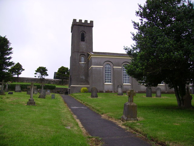
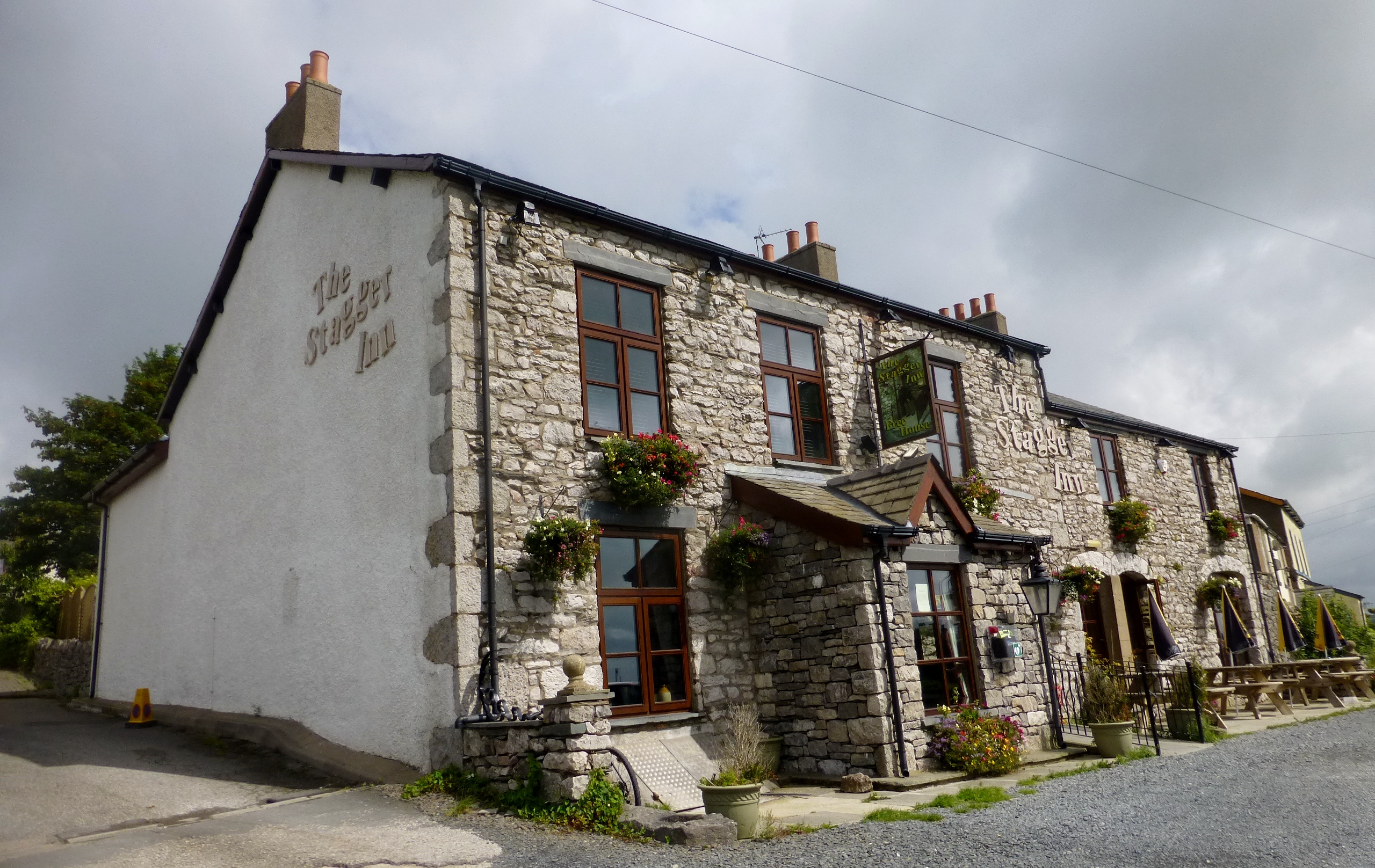
Beacon Hill Images
Images are sourced within 2km of 54.129865/-3.1268437 or Grid Reference SD2671. Thanks to Geograph Open Source API. All images are credited.


Beacon Hill is located at Grid Ref: SD2671 (Lat: 54.129865, Lng: -3.1268437)
Administrative County: Cumbria
District: South Lakeland
Police Authority: Cumbria
What 3 Words
///notifying.purified.surpassed. Near Dalton in Furness, Cumbria
Nearby Locations
Related Wikis

Gleaston Castle
Gleaston Castle is a medieval building in a valley about 1 kilometre (0.62 mi) north-east of the village of Gleaston. The village lies between the towns...

Gleaston
Gleaston is a village with a population of around 400 in the Furness area of South Cumbria, situated between the towns of Barrow-in-Furness, Dalton-in...

Scales, Aldingham
Scales is a small village in Westmorland and Furness, Cumbria, England. The town of Ulverston is around 3.5 miles south of the village. The name Scales...
Aldingham
Aldingham is a village and civil parish in the South Lakeland district of Cumbria, England. Historically in Lancashire, it is situated on the east coast...
Dendron, Cumbria
Dendron is a small village in South Cumbria, England. It is situated around three miles from the town of Barrow-in-Furness. The village was once just a...

Newbiggin, Furness
Newbiggin is a village on the A5087 road, in Furness, in the South Lakeland district, in the English county of Cumbria. Historically in Lancashire, nearby...
Stainton with Adgarley
Stainton with Adgarley is a small village in Cumbria, England. It is situated about 5 miles from Dalton-in-Furness. It is a small farming community and...
Urswick Grammar School
Urswick Grammar School was located in Little Urswick, Cumbria, England. The school was founded in 1585 as the result of a royal charter granted by Queen...
Nearby Amenities
Located within 500m of 54.129865,-3.1268437Have you been to Beacon Hill?
Leave your review of Beacon Hill below (or comments, questions and feedback).