Humberston
Settlement in Lincolnshire
England
Humberston
Humberston is a small village located in the county of Lincolnshire, England. Situated on the eastern coast of the country, it is part of the larger town of Cleethorpes and falls within the North East Lincolnshire unitary authority.
With a population of around 8,000 residents, Humberston is known for its peaceful atmosphere and picturesque surroundings. The village is characterized by its charming residential areas, which consist mainly of suburban houses and bungalows. Many of these properties are surrounded by well-maintained gardens, contributing to the overall aesthetic appeal of the area.
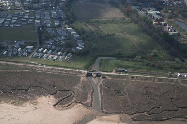
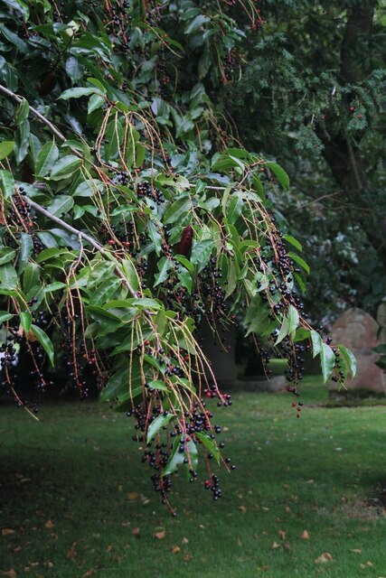
Humberston benefits from its close proximity to the coast, offering residents and visitors easy access to beautiful sandy beaches. The village is also home to Humberston Country Club, a popular leisure facility that offers a range of amenities such as a golf course, tennis courts, and a swimming pool. Additionally, there are several parks and green spaces in and around Humberston, providing opportunities for outdoor activities and relaxation.
The village boasts a number of local amenities, including shops, restaurants, and pubs, providing residents with essential services and entertainment options. Humberston is well-connected to the nearby towns of Cleethorpes and Grimsby, allowing for easy commuting and access to further amenities.
Overall, Humberston offers a tranquil and family-friendly environment, making it an attractive place to live for those seeking a slower pace of life and a strong sense of community.
If you have any feedback on the listing, please let us know in the comments section below.
Humberston Images
Images are sourced within 2km of 53.530206/-0.024984 or Grid Reference TA3105. Thanks to Geograph Open Source API. All images are credited.


Humberston is located at Grid Ref: TA3105 (Lat: 53.530206, Lng: -0.024984)
Division: Parts of Lindsey
Unitary Authority: North East Lincolnshire
Police Authority: Humberside
What 3 Words
///hers.kind.deals. Near Humberston, Lincolnshire
Nearby Locations
Related Wikis

Humberston
Humberston is a village and civil parish south of Cleethorpes in North East Lincolnshire, England. == Boundary and population == The village's boundary...

Humberston Academy
Humberston Academy (formerly Humberston Maths and Computing College) is a secondary school with academy status (DRET) based in Humberston (near Grimsby...
Humberston Abbey
Humberston Abbey was an abbey in Humberston, Lincolnshire, England. The Benedictine Abbey of Saint Mary and Saint Peter was founded in 1160 by William...

The Signal Box Inn
The Signal Box Inn is a public house in the seaside resort of Cleethorpes, United Kingdom. It was opened in August 2006 and is a contender for the smallest...
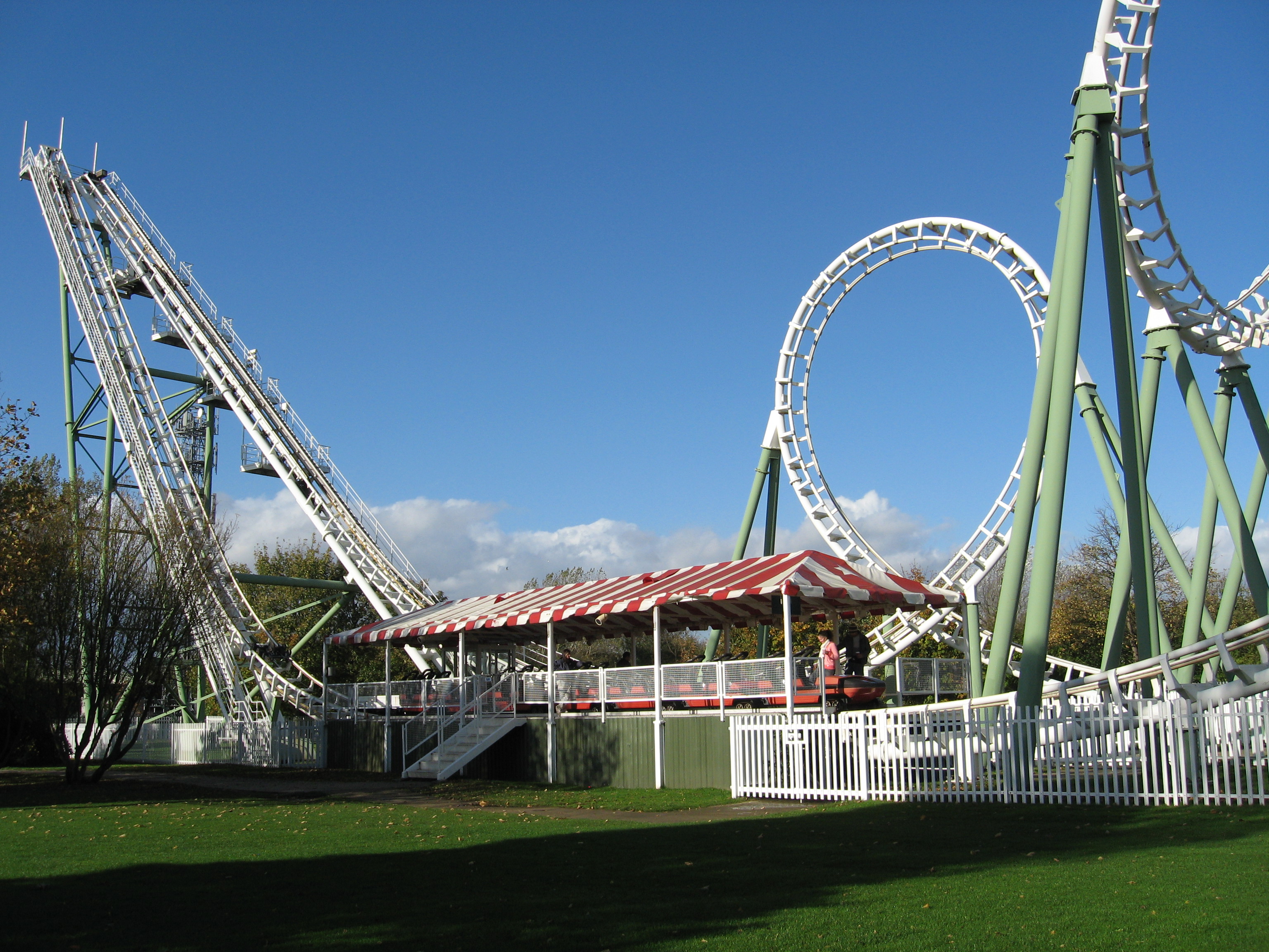
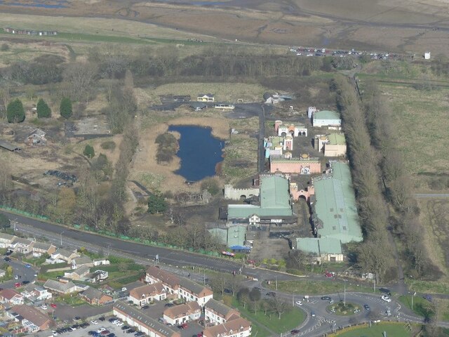
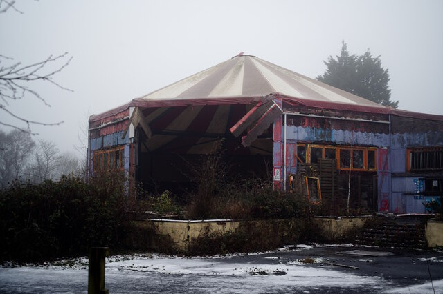
Pleasure Island Family Theme Park
Pleasure Island Family Theme Park was a theme park in Cleethorpes, North East Lincolnshire, England. It was commonly known as Pleasure Island. The park...
Meridian Park (Cleethorpes)
Meridian Showground is a multi-purpose entertainment venue in Cleethorpes, North East Lincolnshire, United Kingdom. It hosted its first event organised...
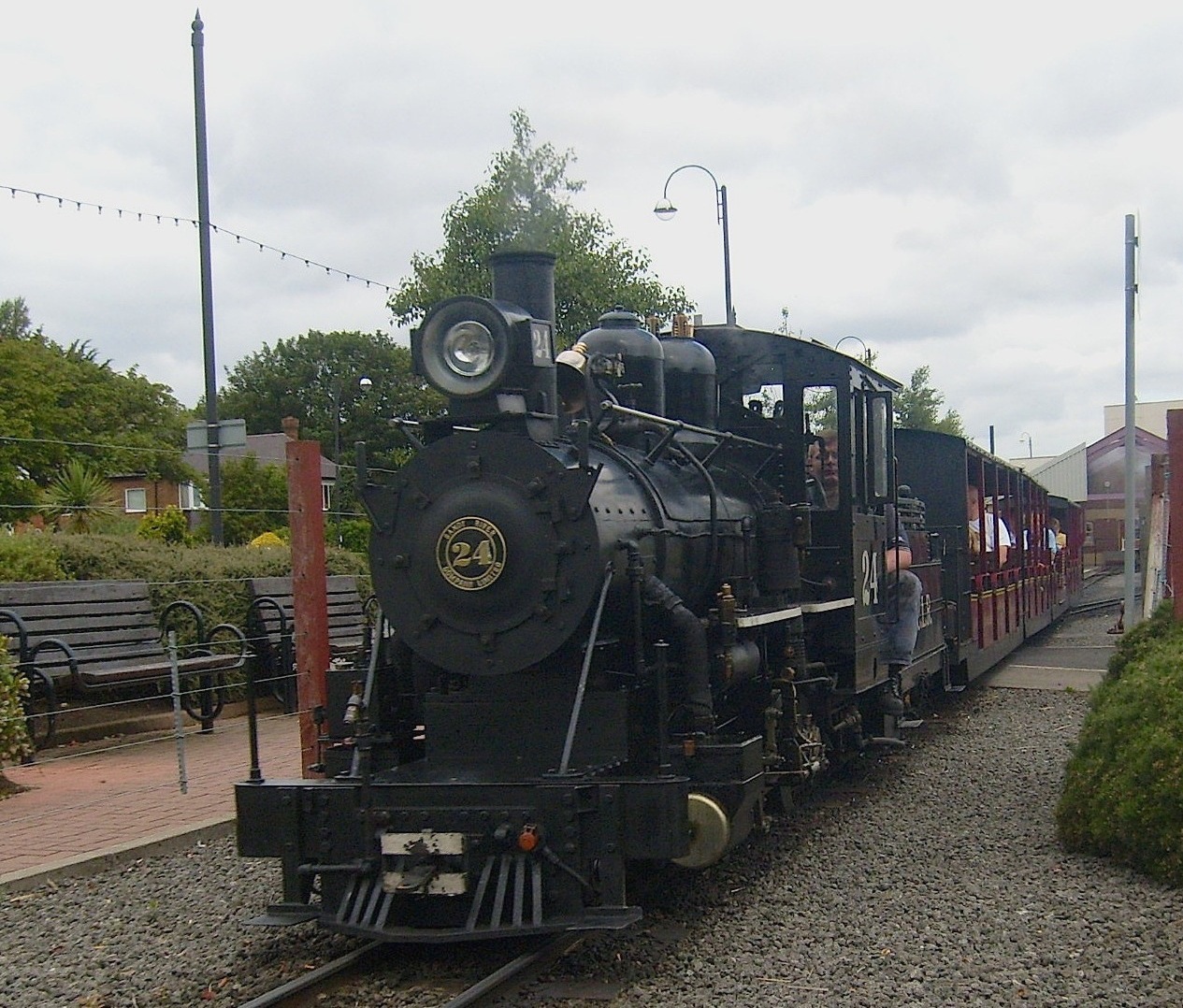
Cleethorpes Coast Light Railway
The Cleethorpes Coast Light Railway is a 15 in (381 mm) minimum-gauge railway that primarily serves holidaymakers in Cleethorpes, North East Lincolnshire...
Cleethorpes Coast Light Railway timeline
The Cleethorpes Coast Light Railway was founded in 1948 as the Cleethorpes Miniature Railway. The railway has operated every summer since 1948. It has...
Nearby Amenities
Located within 500m of 53.530206,-0.024984Have you been to Humberston?
Leave your review of Humberston below (or comments, questions and feedback).