Hulverstone

Settlement in Hampshire

England

Hulverstone

Grassy path from Brook This is Public Bridleway BS87, an extension of Coastguard Lane towards Compton Grange.
Grassy path from Brook Credit: Paul Coueslant

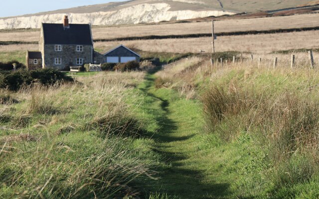
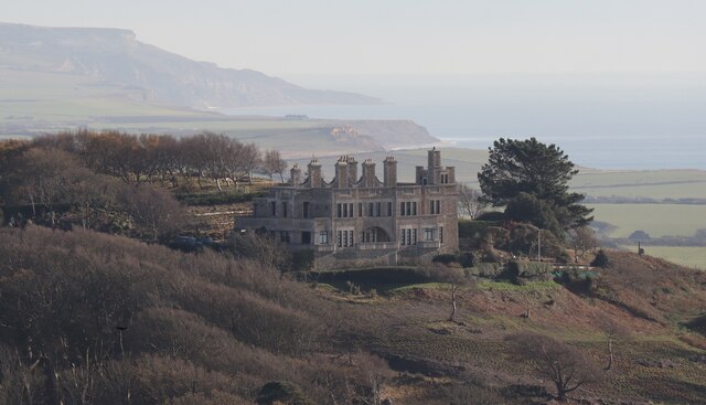
Hulverstone is a small village located in the county of Hampshire, England. Situated in the western part of the Isle of Wight, Hulverstone is known for its picturesque and idyllic setting. The village is surrounded by beautiful countryside, with rolling hills and green fields providing a tranquil atmosphere.

Hulverstone is home to a small population, giving it a close-knit community feel. The village itself is characterized by charming cottages and traditional buildings, which add to its quaint and charming appeal. Many of the houses in Hulverstone are made of local stone, creating a visually pleasing aesthetic.

One of the main attractions in Hulverstone is the St. Peter's Church, a historic parish church dating back to the 12th century. The church features stunning architectural details and houses a number of notable artifacts and monuments.

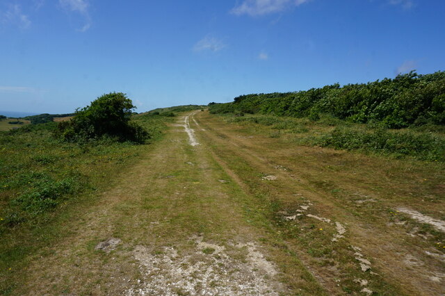
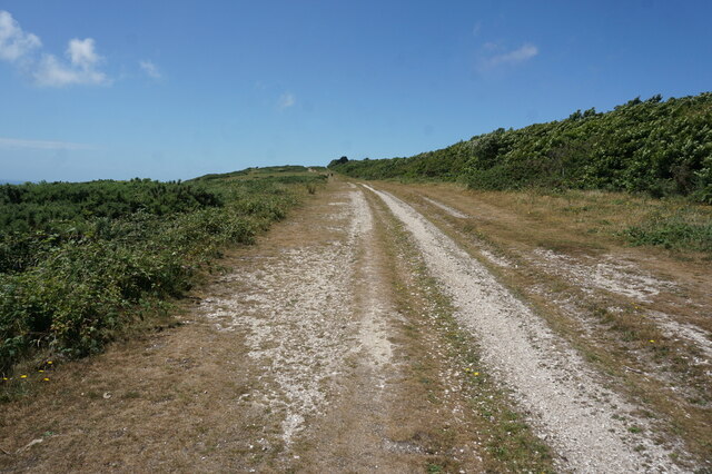
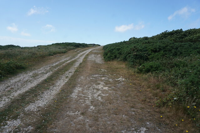
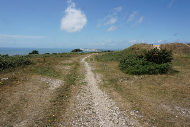
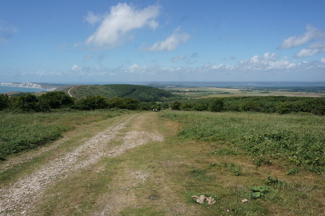
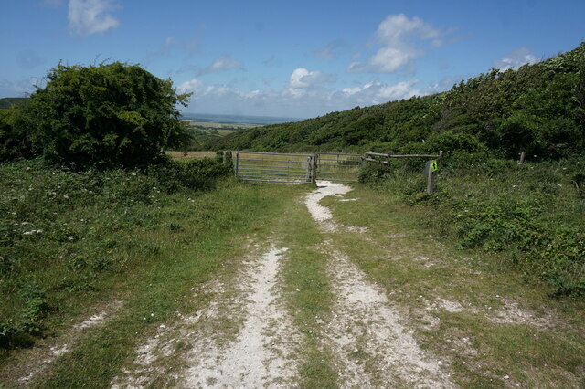
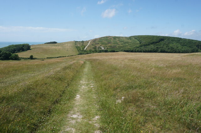
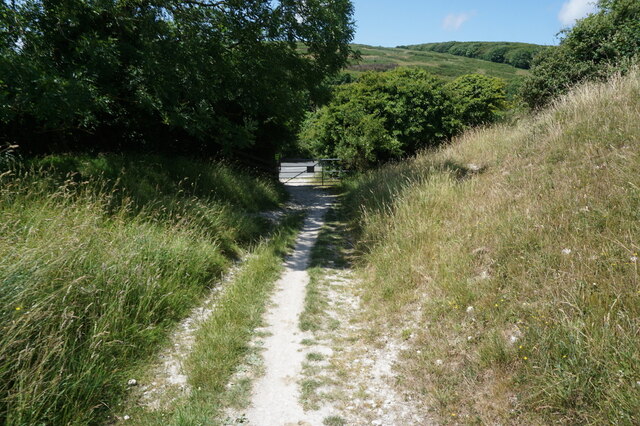
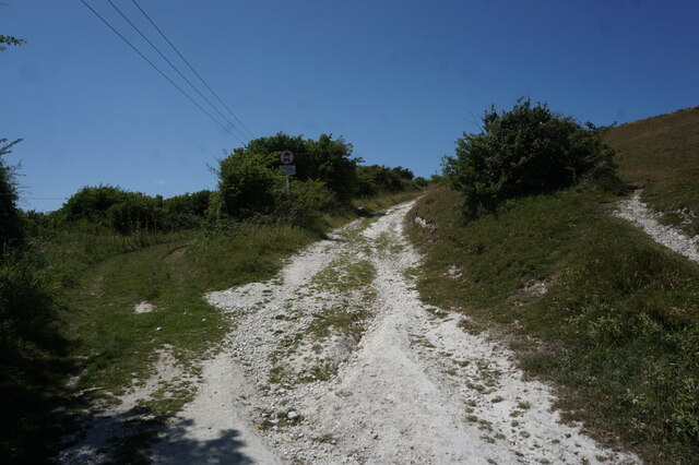
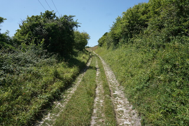
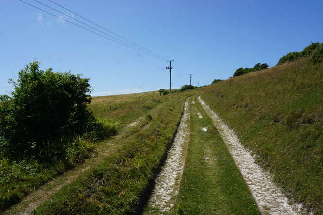
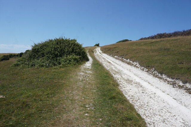
Nature enthusiasts will find Hulverstone to be an ideal destination, as it is surrounded by natural beauty. The nearby Hulverstone Down offers breathtaking views of the surrounding countryside and is a popular spot for hiking and walking. The area is also home to a diverse range of wildlife, making it a haven for birdwatchers and nature lovers.

Although small in size, Hulverstone offers a peaceful and tranquil retreat away from the hustle and bustle of city life. Its natural beauty, welcoming community, and historic charm make it a hidden gem within Hampshire.

If you have any feedback on the listing, please let us know in the comments section below.

Hulverstone Images

Images are sourced within 2km of 50.654628/-1.440622 or Grid Reference SZ3984. Thanks to Geograph Open Source API. All images are credited.

Grassy path from Brook This is Public Bridleway BS87, an extension of Coastguard Lane towards Compton Grange.
Grassy path from Brook
This is Public Bridleway BS87, an extension of Coastguard Lane towards Compton Grange.
Brook Hill House A Grade 2-listed country house built in the early years of the 20th century for Charles Seely, 1st Baronet (1833-1915). The building became the home of writer J B Priestley between 1948 and 1959, and has since been converted into six apartments.
Brook Hill House
A Grade 2-listed country house built in the early years of the 20th century for Charles Seely, 1st Baronet (1833-1915). The building became the home of writer J B Priestley between 1948 and 1959, and has since been converted into six apartments.
Tennyson Trail on Mottistone Down
Tennyson Trail towards Brook Down
Tennyson Trail crosses over the B3399
Tennyson Trail at the B3399
Tennyson Trail enters Brook Down
Tennyson Trail on Brook Down
Path on Brook Down
Path on Brook Down
Path on Brook Down
Path on Brook Down
Tennyson Trail on Brook Down
Show me another place!

Hulverstone is located at Grid Ref: SZ3984 (Lat: 50.654628, Lng: -1.440622)

Unitary Authority: Isle of Wight

Police Authority: Hampshire

What 3 Words

///splash.deleting.testers. Near Brighstone, Isle of Wight

Related Wikis

Hulverstone

Hulverstone is a hamlet of about 12 houses on the Isle of Wight on the edge of the English Channel. It has a post office in a private home and the 400...

St Mary's Church, Brook

St Mary's Church, Brook is a parish church in the Church of England located in Brook, Isle of Wight. == History == The church dates from 1864 by the architect...

Brook, Isle of Wight

Brook is a village and former civil parish, now in the parish of Brighstone, on the Isle of Wight, England. In 1931 the parish had a population of 156...

Brookgreen

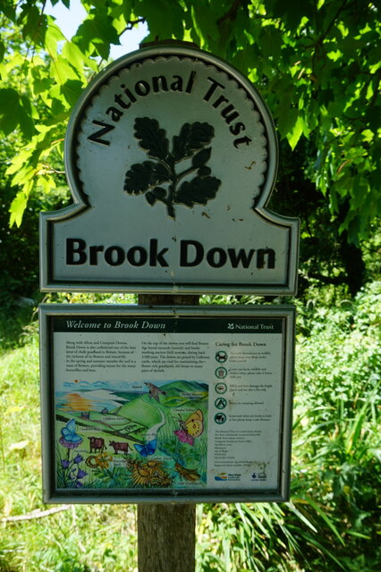
Brook Green is a small hamlet on the Isle of Wight located at Brook on the Back of the Wight. It is owned by the National Trust. == References ==

Mottistone

Mottistone is a village and former civil parish, now in the parish of Brighstone, on the Isle of Wight, England. It is located in the popular tourist area...

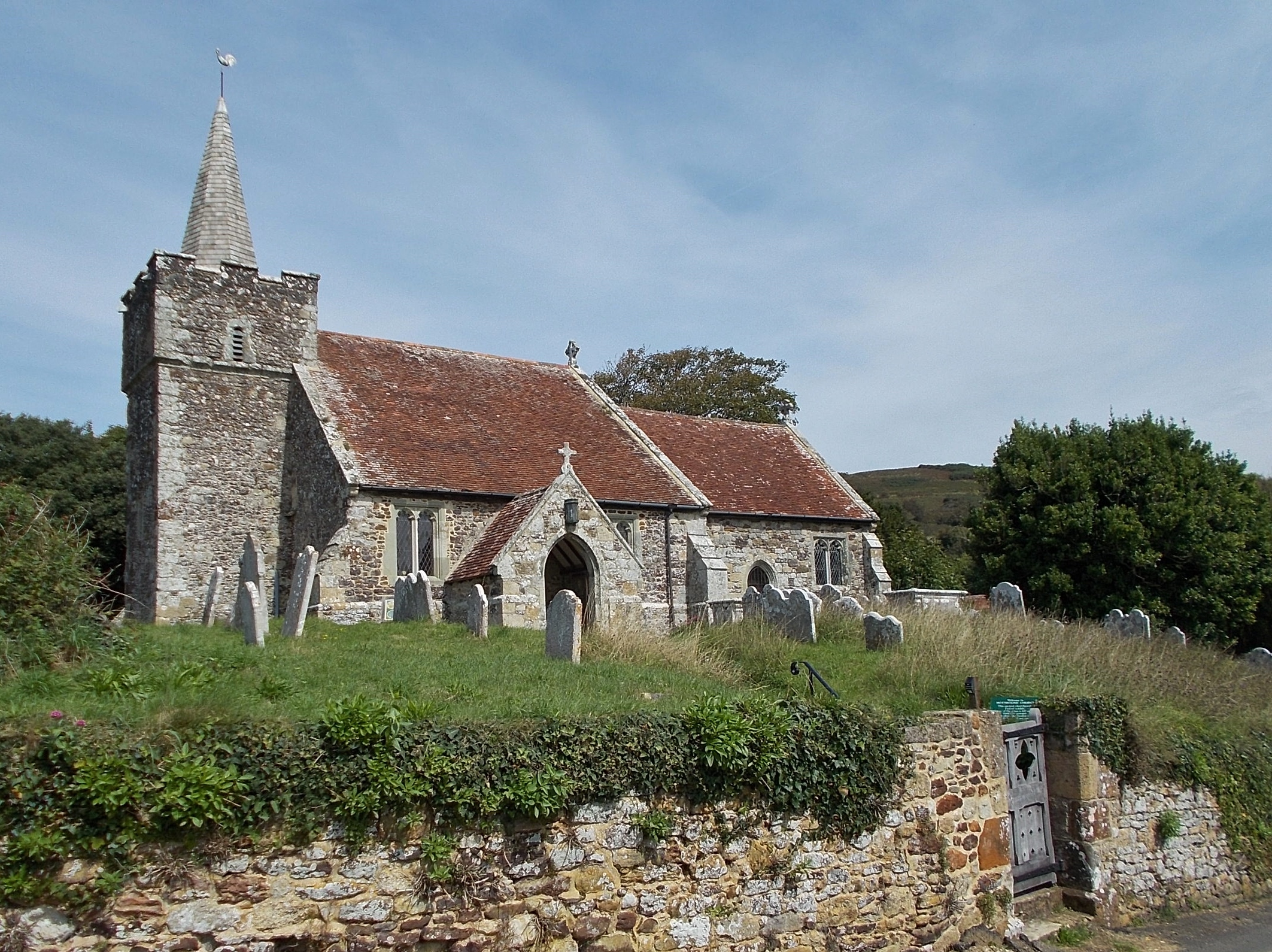
St Peter and St Paul's Church, Mottistone

St Peter and St Paul's Church is a parish church in the Church of England in the village of Mottistone, Isle of Wight. It is a Grade I listed building...

Mottistone Manor

Mottistone Manor is a National Trust property in the village of Mottistone on the Isle of Wight, England. It has popular gardens and is a listed building...

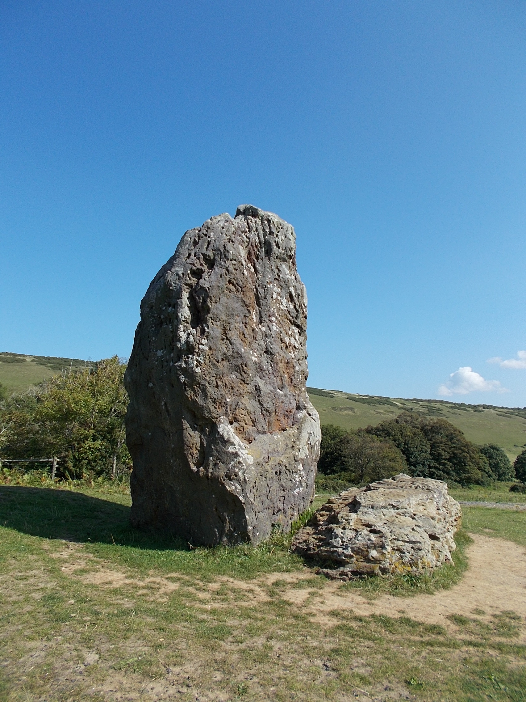
The Longstone, Mottistone

The Longstone is a megalithic monument near the village of Mottistone, close to the south west coast of the Isle of Wight. It is the only megalithic monument...

Nearby Amenities

Located within 500m of 50.654628,-1.440622
Hulverstone
Is In: Hampshire, England, UK
Place: hamlet
Wikidata: Q5936437
Wikipedia: en:Hulverstone
Lat/Long: 50.6545786/-1.4385461
Source: Bing
Lat/Long: 50.6535477/-1.4384781
Source: Bing
Lat/Long: 50.6530693/-1.4388511
Barrier: stile
Foot: yes
Material: wood
Stile: stepover
Lat/Long: 50.6516173/-1.4449712
Barrier: stile
Bicycle: no
Foot: yes
Lat/Long: 50.6537063/-1.4429914
Barrier: kissing_gate
Lat/Long: 50.6553121/-1.4384049
Barrier: kissing_gate
Foot: yes
Lat/Long: 50.6561409/-1.4377249
Barrier: kissing_gate
Lat/Long: 50.6577362/-1.4364439
Bus Stop
Sun Inn Hulverstone
Bus: yes
Contact Website: https://www.islandbuses.info/stops/230000011860
Naptan AtcoCode: 230000011860
Naptan Bearing: E
Naptan CommonName: Sun Inn
Naptan Indicator: opp
Naptan NaptanCode: iowjmpw
Naptan Street: B3399
Naptan Verified: no
Public Transport: platform
Shelter: no
Lat/Long: 50.6545473/-1.4379076
Bus Stop
Brook Triangle
Bus: yes
Contact Website: https://www.islandbuses.info/stops/230000011940
Naptan AtcoCode: 230000011940
Naptan Bearing: NW
Naptan CommonName: Brook Triangle
Naptan Indicator: towards Alum Bay
Naptan NaptanCode: iowjmwa
Naptan Verified: no
Public Transport: platform
Shelter: no
Lat/Long: 50.6558826/-1.4434316
Bus Stop
Brook Triangle
Bus: yes
Contact Website: https://www.islandbuses.info/stops/230000011950
Naptan AtcoCode: 230000011950
Naptan Bearing: SE
Naptan CommonName: Brook Triangle
Naptan Indicator: towards Newport
Naptan NaptanCode: iowjmwd
Naptan Verified: no
Public Transport: platform
Ref GB Uprn: 10025670476
Shelter: yes
Lat/Long: 50.6558884/-1.4430203
Bus Stop
Sun Inn Hulverstone
Bus: yes
Contact Website: https://www.islandbuses.info/stops/2300103
Naptan AtcoCode: 2300103
Naptan Bearing: W
Naptan BusStopType: CUS
Naptan CommonName: Sun Inn
Naptan Indicator: adj
Naptan Landmark: Sun Inn
Naptan NaptanCode: iowadag
Naptan Street: B3399
Naptan Verified: no
Public Transport: platform
Shelter: no
Lat/Long: 50.6544339/-1.4382051
Source: Bing
Lat/Long: 50.6539066/-1.4383927
Barrier: stile
Foot: yes
Material: wood
Stile: stepover
Lat/Long: 50.6539473/-1.439196
Barrier: stile
Foot: yes
Material: stone
Note: stile is a stone step-over ledge
Stile: stepover
Lat/Long: 50.653925/-1.4384719
Post Box
Collection Plate: CP7
Collection Times: Mo-Fr 16:00; Sa 10:00
Operator: Royal Mail
Operator Wikidata: Q638098
Post Box Type: lamp
Ref: PO30 29
Ref GB Uprn: 10015419270
Royal Cypher: EIIR
Royal Cypher Wikidata: Q33102113
Website: https://www.royalmail.com/services-near-you/postbox/hulverstone-po30-4es/0000PO3029
Lat/Long: 50.6545162/-1.4376177
Source: Bing
Lat/Long: 50.6532022/-1.4386349
Source: Bing
Lat/Long: 50.6529433/-1.4389388
Source: Bing
Lat/Long: 50.6511727/-1.4392711
Source: Bing
Lat/Long: 50.6527067/-1.4389169
Source: Bing
Lat/Long: 50.6538061/-1.4384143
Source: Bing
Lat/Long: 50.6520974/-1.4390109
Brook Hill
Ele: 110
Natural: peak
Source: NLS - OS 1:25k 1st Series 1937-61
Lat/Long: 50.6582077/-1.4386961
Brook Triangle
Place: locality
Lat/Long: 50.6562683/-1.4439935
Hiking: yes
Information: guidepost
Tourism: information
Lat/Long: 50.6580796/-1.4436427
Pub
The Sun Inn
Addr City: Hulverstone
Addr Country: GB
Addr County: Isle of Wight
Addr Hamlet: Hulverstone
Addr Housename: Sun Inn
Addr Postcode: PO30 4EH
Addr Street: Brighstone Road
Contact Email: info@sunhulverstone.co.uk
Contact Phone: +44 1983 741124
Contact Website: https://www.characterinns.co.uk/the-sun-inn
Fhrs Id: 1625376
Internet Access: wlan
Internet Access Fee: no
Opening Hours: Tu-Th 12:00-21:00; Fr,Sa 12:00-22:00; Su 12:00-18:00
Opening Hours Kitchen: Tu-Th 12:00-20:00; Fr,Sa 12:00-21:00; Su 12:00-17:00
Operator: Character Inns
Outdoor Seating: yes
Source: Bing
Toilets: yes
Toilets Wheelchair: yes
Wheelchair: yes
Wikidata: Q26580714
Lat/Long: 50.6544543/-1.4392626
Information: board
Tourism: information
Lat/Long: 50.6545419/-1.4384311
Clock House Bed And Breakfast
Addr City: Newport
Addr Country: GB
Addr Housename: Clockhouse
Addr Postcode: PO30 4EJ
Addr Street: Brook Village Road
Addr Village: Brighstone
Fhrs Id: 541369
Guest House: bed_and_breakfast
Tourism: guest_house
Lat/Long: 50.6550556/-1.446309
Power: pole
Lat/Long: 50.6575602/-1.4398661
Power: pole
Lat/Long: 50.6574854/-1.4412502
Power: pole
Lat/Long: 50.6570705/-1.4401183
Power: pole
Lat/Long: 50.6565501/-1.4386752
Power: pole
Lat/Long: 50.6559686/-1.4371088
Power: pole
Lat/Long: 50.6554924/-1.4357731
Power: pole
Lat/Long: 50.6549772/-1.4343515
Hiking: yes
Information: guidepost
Tourism: information
Lat/Long: 50.6536117/-1.4339572
Crossing
Crossing: unmarked
Lat/Long: 50.6536174/-1.4337756
Power: pole
Lat/Long: 50.6578722/-1.4423244
The data included in this document is from www.openstreetmap.org. The data is made available under ODbL.

Have you been to Hulverstone?

Leave your review of Hulverstone below (or comments, questions and feedback).