Cant's Hill
Hill, Mountain in Fife
Scotland
Cant's Hill
Cant's Hill is a prominent hill located in the region of Fife, Scotland. Rising to an elevation of approximately 200 meters (656 feet), it is considered a significant landmark in the area. Situated near the town of St. Andrews, Cant's Hill offers stunning panoramic views of the surrounding countryside, making it a popular destination for hikers and nature enthusiasts.
Cant's Hill is characterized by its gentle slopes and a relatively easy ascent, making it accessible to a wide range of visitors. The hill is covered in lush green vegetation, including grasses, heather, and various wildflowers, creating a picturesque landscape throughout the year. The area is also home to a diverse range of wildlife, including birds, rabbits, and occasionally deer, adding to its natural charm.
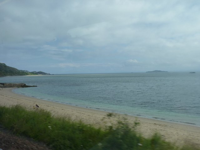
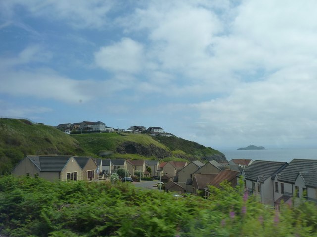
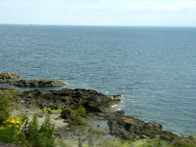
At the summit of Cant's Hill, visitors are rewarded with breathtaking views of the Fife coastline and beyond. On clear days, it is possible to see the North Sea in the distance, as well as the nearby towns and villages dotting the landscape. The hilltop provides an ideal vantage point for admiring the beauty of the surrounding countryside and appreciating the tranquility of the area.
Cant's Hill is easily accessible by foot, with several well-marked trails leading to the summit. The hill is a popular destination for both locals and tourists seeking a peaceful retreat, as well as those looking to engage in outdoor activities such as walking, jogging, or picnicking. With its scenic beauty and serene atmosphere, Cant's Hill is a must-visit destination for anyone exploring the Fife region.
If you have any feedback on the listing, please let us know in the comments section below.
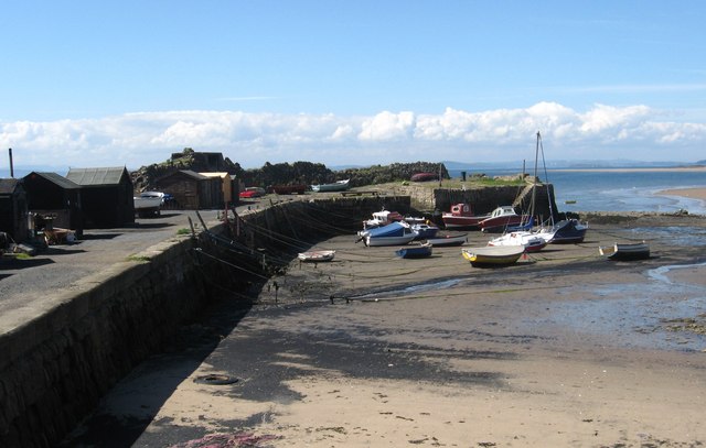
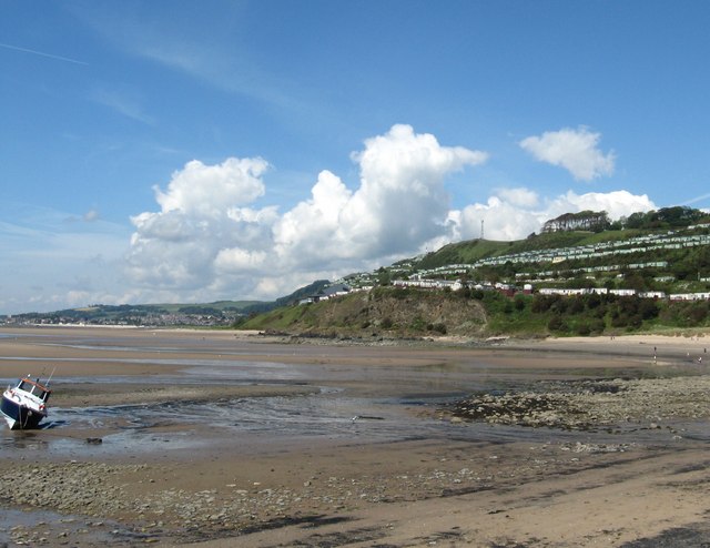
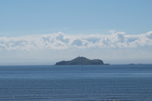
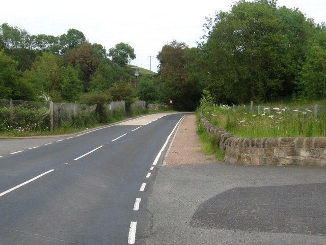
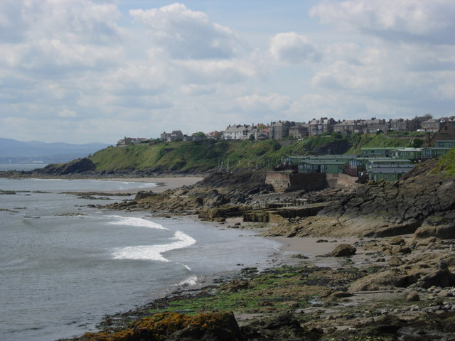
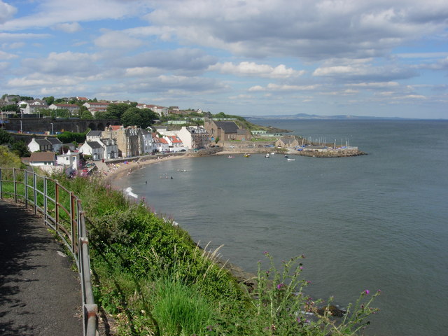
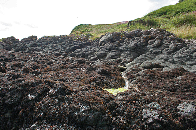
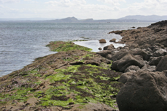
Cant's Hill Images
Images are sourced within 2km of 56.077886/-3.1886334 or Grid Reference NT2687. Thanks to Geograph Open Source API. All images are credited.
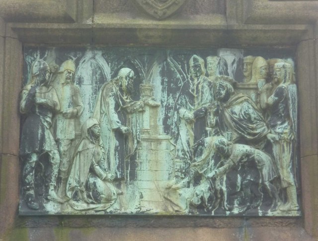
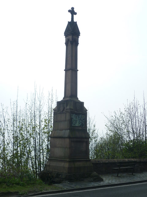
![Alexander III Monument at Kinghorn Looking towards the King&#039;s Crag. It is traditionally believed that Alexander fell from the cliffs, though his fatal accident may have been less dramatic.
&quot;For in the same year [1296] on 19 March the king was delayed by the ferry at [South] Queensferry until dusk on a dark night. When advised by his companions not to go beyond Iverkeithing that night, he spurned their counsel, and with an escort of knights hurried by a precipitous track towards Kinghorn Regis. To the west of that place beside the shore his horse stumbled in the sand, and alas! the noble king, too negligently attended by his followers, broke his neck and expired.&quot; -- Scotichronicon, c.1440
<a href="https://www.geograph.org.uk/photo/2370739">NT2586 : Alexander III Monument poem</a>](https://s0.geograph.org.uk/geophotos/02/37/07/2370736_23adf40b.jpg)
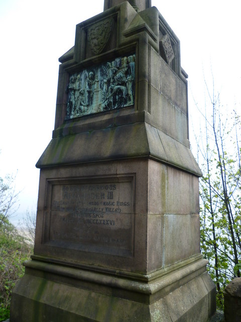
![Alexander III Monument poem The earliest extant poem in the Scots language laments the death of King Alexander III and the end of the &#039;golden age&#039; associated with his reign.
Quhen Alysandyr oure kyng wes dede
That Scotland led in luive and le.
Away wes sonce of ale and brede,
Of wyne and wax, of gamyn and gle;
Oure gold wes changed into lede.
Cryst! Borne into Virgynyte,
Succour Scotland and remede,
That stad is in perplexyte.
[When Alexander our King was dead,
That Scotland led in love and peace,
Away the abundance of ale and bread,
Of wine and wax, of game and merriment.
Our gold was changed into lead—
Christ! born into virginity,
Help Scotland and cure
That troubled state.]
Andrew de Wyntoun,
Orygynale Cronykil of Scotland, 14thC](https://s3.geograph.org.uk/geophotos/02/37/07/2370739_b498c840.jpg)
Cant's Hill is located at Grid Ref: NT2687 (Lat: 56.077886, Lng: -3.1886334)
Unitary Authority: Fife
Police Authority: Fife
What 3 Words
///outgrown.dubbing.clearly. Near Kinghorn, Fife
Nearby Locations
Related Wikis

Newburgh Town House
Newburgh Town House is a municipal building in the High Street in Newburgh, Fife, Scotland. The structure, which is used as a series of artists' studios...

Kinghorn Town Hall
Kinghorn Town Hall is a municipal building in St Leonard's Place, Kinghorn, Fife, Scotland. The structure, which is used as holiday accommodation for tourists...
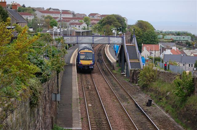
Kinghorn railway station
Kinghorn railway station is a railway station in the town of Kinghorn, Fife, Scotland. The station is managed by ScotRail and is on the Fife Circle Line...

Kinghorn Lifeboat Station
Kinghorn Lifeboat Station is a RNLI station located in the town of Kinghorn in Fife, Scotland. The station is currently equipped with an Atlantic 85 inshore...
Related Videos
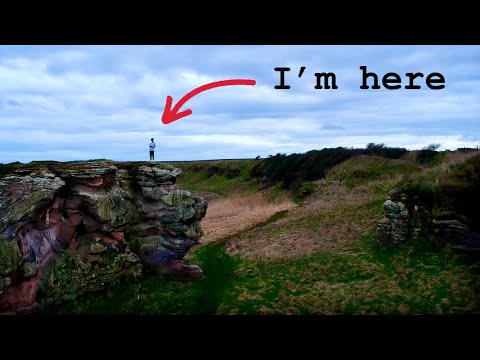
Solo hiking in St. Andrews
Went on a hike along the coast of Fife. What I found was unreal... music: ELo-Fi Fashion Chill Hip Hop | Vlog by Alex-Productions ...
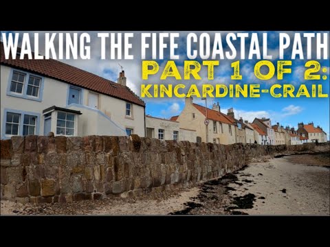
Scotland's Other Long Distance Trail - The 116 Mile Fife Coastal Path. Part 1: Kincardine to Crail.
This one's been on the list for a while, but we've never had the time. To be honest, we still didn't, but gave it a go anyway.

Will we make it to the end? Welcome to Part 2 of our Fife Coastal Path adventure: Crail - Newburgh??
Welcome to the 2nd half of our epic Fife Coastal Path adventure. This covers days 4-6 of our attempt at this 116 mile trail. Energy ...
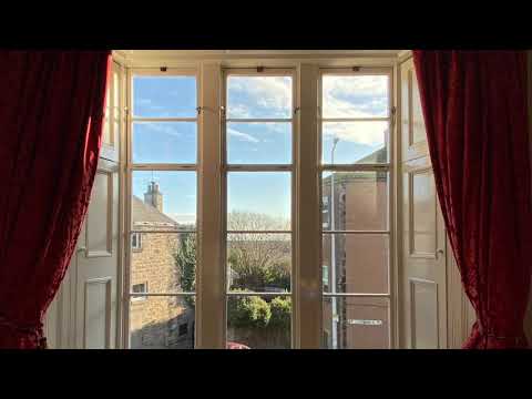
Kinghorn Town Hall, self-catering holiday accommodation in Fife
A selection of photographs and videos of Kinghorn Town Hall, one of our restoration projects. For full information on the project ...
Nearby Amenities
Located within 500m of 56.077886,-3.1886334Have you been to Cant's Hill?
Leave your review of Cant's Hill below (or comments, questions and feedback).