Blawith Knott

Hill, Mountain in Lancashire South Lakeland

England

Blawith Knott

Ordnance Survey Rivet This OS rivet can be found on the wall east side of Woodlands Road. It marks a point 69.758m above mean sea level.
Ordnance Survey Rivet Credit: Adrian Dust

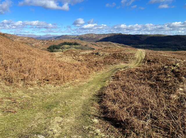
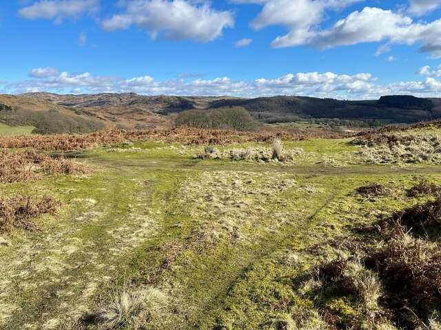
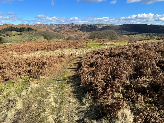
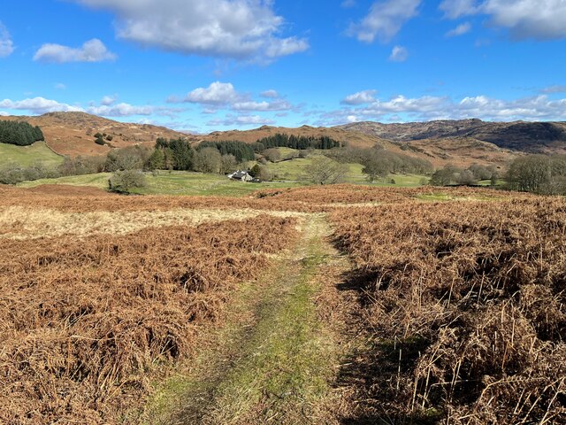
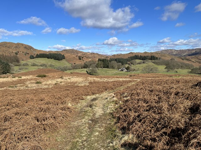
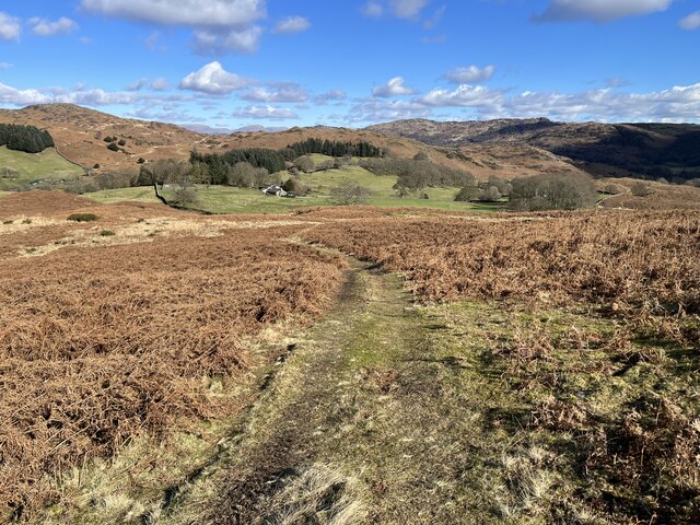
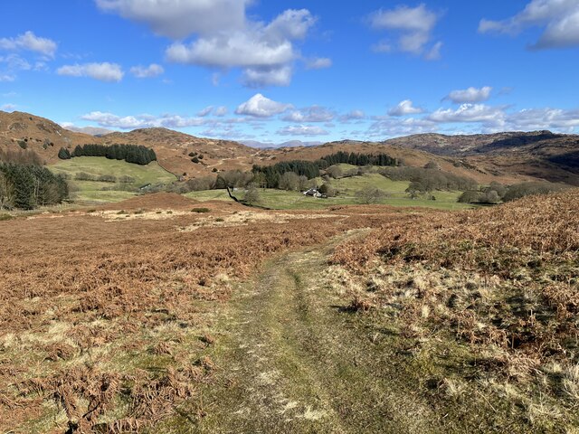
Blawith Knott is a prominent hill located in the county of Lancashire, England. With an elevation of 373 meters (1,224 feet), it stands as a distinctive landmark within the surrounding landscape. This hill is situated within the Lake District National Park, specifically within the southern part of the park. Its location grants visitors stunning panoramic views of the surrounding countryside, including the nearby Coniston Water and the Coniston Fells.

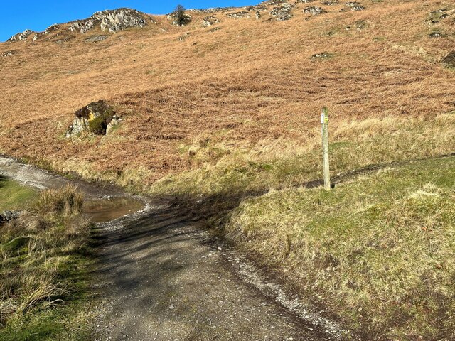
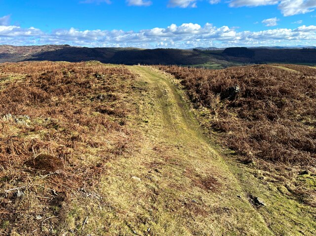
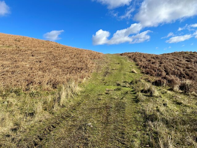
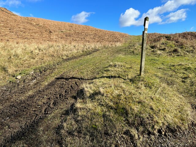
The terrain of Blawith Knott is predominantly grassy, making it a popular destination for hikers and nature enthusiasts. The summit is easily accessible via well-maintained paths, which allow visitors to enjoy a relatively easy ascent. The hill provides an ideal setting for those seeking a peaceful and tranquil escape from the bustling city life.

Blawith Knott is also a designated Site of Special Scientific Interest (SSSI), due to its geological significance. The hill is composed of Silurian rocks, which were formed around 420 million years ago. These rocks contain fossils, providing valuable insights into the ancient marine life that once inhabited the area.

The hill is surrounded by a diverse range of flora and fauna, including heather, mosses, and various species of birds such as meadow pipits and curlews. The presence of these species makes Blawith Knott an attractive location for birdwatching enthusiasts.

Overall, Blawith Knott offers visitors a unique opportunity to explore the natural beauty and geological history of the Lake District National Park. Whether it be for hiking, birdwatching, or simply enjoying the breathtaking views, this hill is a must-visit destination for outdoor enthusiasts.

If you have any feedback on the listing, please let us know in the comments section below.

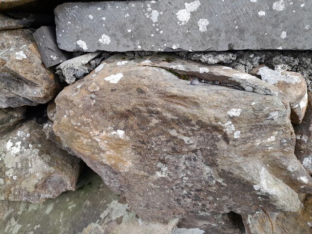
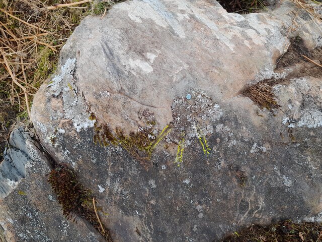
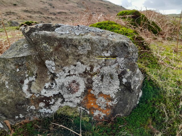
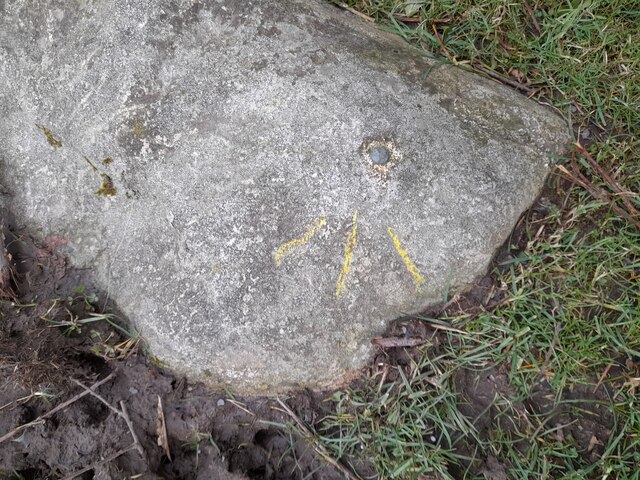
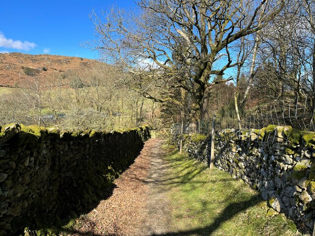
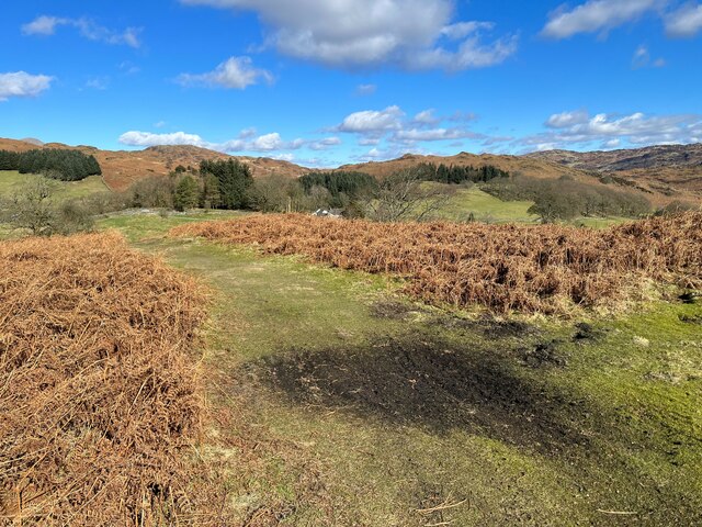
Blawith Knott Images

Images are sourced within 2km of 54.285834/-3.137181 or Grid Reference SD2688. Thanks to Geograph Open Source API. All images are credited.

Ordnance Survey Rivet This OS rivet can be found on the wall east side of Woodlands Road. It marks a point 69.758m above mean sea level.
Ordnance Survey Rivet
This OS rivet can be found on the wall east side of Woodlands Road. It marks a point 69.758m above mean sea level.
Ordnance Survey Rivet This OS rivet can be found on a rock south side of the road. It marks a point 124.383m above mean sea level.
Ordnance Survey Rivet
This OS rivet can be found on a rock south side of the road. It marks a point 124.383m above mean sea level.
Ordnance Survey Cut Mark This OS cut mark can be found on a rock south side of the road. It marks a point 126.204m above mean sea level.
Ordnance Survey Cut Mark
This OS cut mark can be found on a rock south side of the road. It marks a point 126.204m above mean sea level.
Ordnance Survey Rivet This OS rivet can be found on a boulder east side of the road. It marks a point 139.317m above mean sea level.
Ordnance Survey Rivet
This OS rivet can be found on a boulder east side of the road. It marks a point 139.317m above mean sea level.
The Cumbria Way, Tottlebank The main track is the public bridleway from Tottlebank to Heathwaite; the track to the right is a public footpath to Cockenskell.
Northbound walkers following The Cumbria Way turn right here to follow the footpath up the hill (next photograph <a href="https://www.geograph.org.uk/photo/7428087">SD2688 : The Cumbria Way, Tottlebank</a>).
The Cumbria Way, Tottlebank
The main track is the public bridleway from Tottlebank to Heathwaite; the track to the right is a public footpath to Cockenskell. Northbound walkers following The Cumbria Way turn right here to follow the footpath up the hill (next photograph SD2688 : The Cumbria Way, Tottlebank).
Path on Tottlebank Height This path is the route of The Cumbria Way over the open fell between Tottlebank Farm and Cockenskell (next photograph <a href="https://www.geograph.org.uk/photo/7432096">SD2788 : The Cumbria Way near The Low</a>).
Path on Tottlebank Height
This path is the route of The Cumbria Way over the open fell between Tottlebank Farm and Cockenskell (next photograph SD2788 : The Cumbria Way near The Low).
Path on Tottlebank Height This undulating path is the route of The Cumbria Way over the open fell between Tottlebank Farm and Cockenskell (next photograph <a href="https://www.geograph.org.uk/photo/7427169">SD2788 : Path on Tottlebank Height</a>).
Path on Tottlebank Height
This undulating path is the route of The Cumbria Way over the open fell between Tottlebank Farm and Cockenskell (next photograph SD2788 : Path on Tottlebank Height).
Public footpath near Tottlebank This footpath is the route of The Cumbria Way over the open fell between Tottlebank Farm and Cockenskell (next photograph <a href="https://www.geograph.org.uk/photo/7432849">SD2788 : Public footpath near Tottlebank</a>).
Public footpath near Tottlebank
This footpath is the route of The Cumbria Way over the open fell between Tottlebank Farm and Cockenskell (next photograph SD2788 : Public footpath near Tottlebank).
The Cumbria Way, Tottlebank This Cumbria Way leaves a public bridleway by Tottlebank Farm and follows the public footpath to Cockenskell up the hill (next photograph <a href="https://www.geograph.org.uk/photo/7428052">SD2788 : Public footpath near Tottlebank</a>).
The Cumbria Way, Tottlebank
This Cumbria Way leaves a public bridleway by Tottlebank Farm and follows the public footpath to Cockenskell up the hill (next photograph SD2788 : Public footpath near Tottlebank).
Lane near Cockenskell The Tottlebank Farm to Beacon Tarn public footpath passes through a walled lane near Cockenskell. This is the route of The Cumbria Way long distance path (next photograph <a href="https://www.geograph.org.uk/photo/6884736">SD2789 : Gate on The Cumbria Way near Cockenskell</a>).
Lane near Cockenskell
The Tottlebank Farm to Beacon Tarn public footpath passes through a walled lane near Cockenskell. This is the route of The Cumbria Way long distance path (next photograph SD2789 : Gate on The Cumbria Way near Cockenskell).
Path near Appletree Holme This path on Blawith Common near Appletree Holme is the route of The Cumbria Way (next photograph <a href="https://www.geograph.org.uk/photo/6883308">SD2788 : The Cumbria Way near Cockenskell</a>).
Path near Appletree Holme
This path on Blawith Common near Appletree Holme is the route of The Cumbria Way (next photograph SD2788 : The Cumbria Way near Cockenskell).
Paths near Appletree Holme At this junction of paths on Blawith Common northbound walkers following The Cumbria Way keep left (next photograph <a href="https://www.geograph.org.uk/photo/7429743">SD2788 : Path near Appletree Holme</a>).
Paths near Appletree Holme
At this junction of paths on Blawith Common northbound walkers following The Cumbria Way keep left (next photograph SD2788 : Path near Appletree Holme).
Path near Appletree Holme This path on Blawith Common near Appletree Holme is the route of The Cumbria Way long distance path (next photograph <a href="https://www.geograph.org.uk/photo/7429783">SD2788 : Paths near Appletree Holme</a>).
Path near Appletree Holme
This path on Blawith Common near Appletree Holme is the route of The Cumbria Way long distance path (next photograph SD2788 : Paths near Appletree Holme).
Path near Appletree Holme This path through bracken near Appletree Holme is the route of The Cumbria Way long distance path (next photograph <a href="https://www.geograph.org.uk/photo/7429793">SD2788 : Path near Appletree Holme</a>).
Cockenskell Farm House is in the distance.
Path near Appletree Holme
This path through bracken near Appletree Holme is the route of The Cumbria Way long distance path (next photograph SD2788 : Path near Appletree Holme). Cockenskell Farm House is in the distance.
Footpath near Appletree Holme This path through bracken near Appletree Holme is the public footpath from Tottlebank Farm to Cockenskell; it is also The Cumbria Way long distance path (next photograph <a href="https://www.geograph.org.uk/photo/7429808">SD2788 : Path near Appletree Holme</a>).
Cockenskell Farm House is in the distance.
Footpath near Appletree Holme
This path through bracken near Appletree Holme is the public footpath from Tottlebank Farm to Cockenskell; it is also The Cumbria Way long distance path (next photograph SD2788 : Path near Appletree Holme). Cockenskell Farm House is in the distance.
Road Junction
Road Junction
Footpath above Appletree Holme This path over open fell is a public footpath from Tottlebank Farm to Cockenskell.  It is also the route of The Cumbria Way (next photograph <a href="https://www.geograph.org.uk/photo/7429897">SD2788 : Footpath near Appletree Holme</a>).
Beacon Fell rises in the left background.
Footpath above Appletree Holme
This path over open fell is a public footpath from Tottlebank Farm to Cockenskell. It is also the route of The Cumbria Way (next photograph SD2788 : Footpath near Appletree Holme). Beacon Fell rises in the left background.
Path near Dam Moss This path is the route of The Cumbria Way, a long distance path from Ulverston to Carlisle (next photograph <a href="https://www.geograph.org.uk/photo/7429986">SD2788 : Footpath above Appletree Holme</a>).
Path near Dam Moss
This path is the route of The Cumbria Way, a long distance path from Ulverston to Carlisle (next photograph SD2788 : Footpath above Appletree Holme).
Show me another place!

Blawith Knott is located at Grid Ref: SD2688 (Lat: 54.285834, Lng: -3.137181)

Administrative County: Cumbria

District: South Lakeland

Police Authority: Cumbria

What 3 Words

///appraised.explored.spring. Near Ulverston, Cumbria

Related Wikis

Blawith Knott

Blawith Knott is a hill in the south of the English Lake District, near Woodland, Cumbria. It is the subject of a chapter of Wainwright's book The Outlying...

St John the Evangelist's Church, Woodland

St John the Evangelist's Church is in the hamlet of Woodland, about 4 kilometres (2 mi) to the northeast of Broughton-in-Furness, Cumbria, England. It...

Woodland, Cumbria

Woodland is a dispersed hamlet within the civil parish of Kirkby Ireleth in the Furness region of Cumbria, England, and is located in the southern part...

Woodland Fell

Woodland Fell is an upland area in the south of the English Lake District, south of Torver, Cumbria. It is the subject of a chapter of Wainwright's book...

Nearby Amenities

Located within 500m of 54.285834,-3.137181
Blawith Knott
Ele: 248
Natural: peak
Wikidata: Q4925560
Wikipedia: en:Blawith Knott
Lat/Long: 54.2858424/-3.1372719
Man Made: cairn
Lat/Long: 54.2858485/-3.1375437
The data included in this document is from www.openstreetmap.org. The data is made available under ODbL.

Have you been to Blawith Knott?

Leave your review of Blawith Knott below (or comments, questions and feedback).