Càrn a' Bhodaich
Hill, Mountain in Banffshire
Scotland
Càrn a' Bhodaich

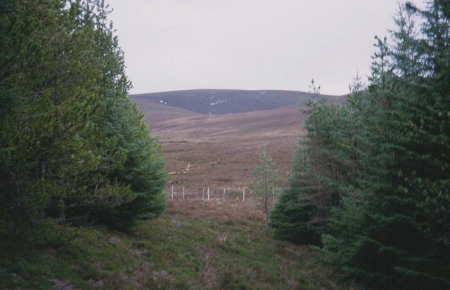
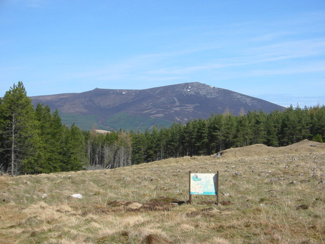
Càrn a' Bhodaich is a prominent hill located in the county of Banffshire, Scotland. It stands at an elevation of approximately 465 meters (1,526 feet) and is part of the Grampian Mountains, which stretch across the eastern part of the country. The hill is situated in a rural area, surrounded by picturesque landscapes and rolling hills.
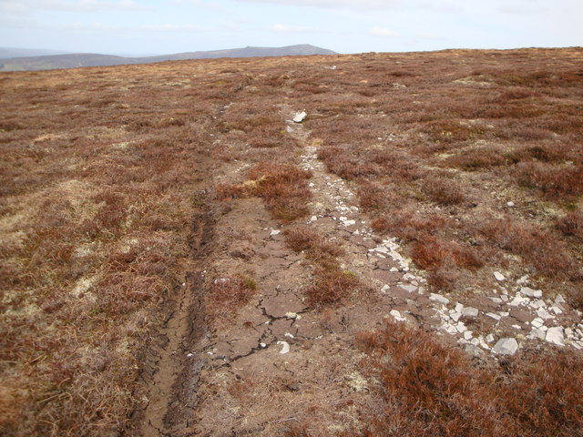
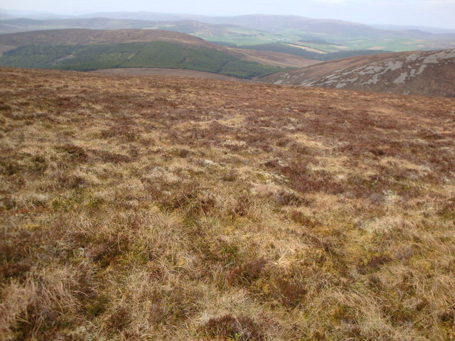
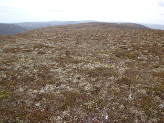
Càrn a' Bhodaich is a popular destination for hikers and nature enthusiasts due to its accessible location and stunning views from the summit. The ascent to the top can be relatively challenging, with a mix of steep slopes and rocky terrain, but it rewards climbers with panoramic vistas of the surrounding countryside, including the nearby Moray Firth coast.
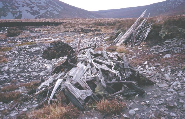
The hill is characterized by its heather-covered slopes and scattered patches of woodland, offering a diverse range of habitats for various plant and animal species. It is home to a variety of birdlife, including golden eagles, peregrine falcons, and red grouse, making it a haven for birdwatchers.
The area surrounding Càrn a' Bhodaich also holds historical significance. There are remnants of old settlements and stone circles nearby, hinting at a rich past. The hill is often associated with local folklore and legends, adding to its mystique.
Overall, Càrn a' Bhodaich provides a rewarding outdoor experience for those seeking natural beauty, wildlife, and a touch of history. Whether you're a seasoned climber or a casual walker, this Banffshire hill offers a captivating and memorable adventure.
If you have any feedback on the listing, please let us know in the comments section below.
Càrn a' Bhodaich Images
Images are sourced within 2km of 57.342404/-3.2309289 or Grid Reference NJ2628. Thanks to Geograph Open Source API. All images are credited.


Càrn a' Bhodaich is located at Grid Ref: NJ2628 (Lat: 57.342404, Lng: -3.2309289)
Unitary Authority: Moray
Police Authority: North East
What 3 Words
///enough.senior.closets. Near Dufftown, Moray
Nearby Locations
Related Wikis

Battle of Glenlivet
The Battle of Glenlivet was a Scottish clan battle fought on 3 October 1594 near Glenlivet, Moray, Scotland. It was fought between Protestant forces loyal...

Auchbreck
Auchbreck (Scottish Gaelic: An t-Achadh Breac, meaning the speckled field) is a village in Moray, Scotland.

Church of The Incarnation, Tombae
The Church of The Incarnation was built between 1827 and 1829 as a Roman Catholic church, under the patronage of the Gordon family, in Banffshire, Scotland...
Achnastank
Achnastank (Scottish Gaelic: Achadh nan Staing, field of the pool/ditch) is a scattered settlement, south east of Ben Rinnes, in the Scottish council area...

Tamnavulin distillery
Tamnavulin distillery is a producer of single malt Scotch whisky that was founded in 1966. The distillery is operated by Whyte & Mackay, which Philippines...
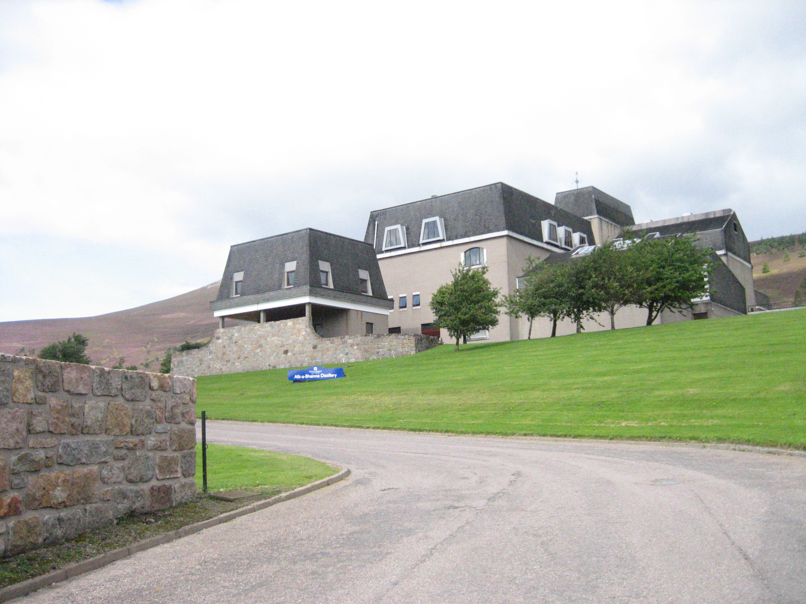
Allt-A-Bhainne distillery
Allt-A-Bhainne distillery (Scottish Gaelic: Allt a' Bhainne [al̪ˠt̪əˈvaɲə], meaning 'milk burn') is a Scotch whisky distillery in the Speyside Region of...

Glenlivet
Glenlivet (Scottish Gaelic: Gleann Lìobhait) is the glen in the Scottish Highlands through which the River Livet flows. The river rises high in the Ladder...
Blairfindy Castle
Blairfindy Castle is an L-plan tower house, dating from the 16th century, around 6.5 miles (10.5 km) north of Tomintoul, and west of the River Livet....
Nearby Amenities
Located within 500m of 57.342404,-3.2309289Have you been to Càrn a' Bhodaich?
Leave your review of Càrn a' Bhodaich below (or comments, questions and feedback).