Black Binks

Hill, Mountain in Angus

Scotland

Black Binks

Loop on the burn A sinuous stretch of the Hole Burn with the trees of Harran Plantation behind.
Loop on the burn Credit: James Allan

Black Binks, Angus (Hill, Mountain) is a prominent geographical feature located in the Angus region of Scotland. It is part of the Grampian Mountains, which form a stunning backdrop for the surrounding landscapes. Standing at an impressive height of 845 meters (2,772 feet), Black Binks is a popular destination for hikers, mountaineers, and nature enthusiasts.

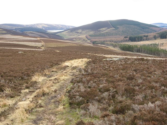
The mountain's name, Black Binks, originates from its dark appearance, particularly when viewed from a distance. Its distinctive black color is a result of the heather and moss covering its slopes, which create a striking contrast against the rugged terrain.

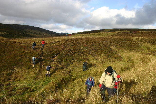
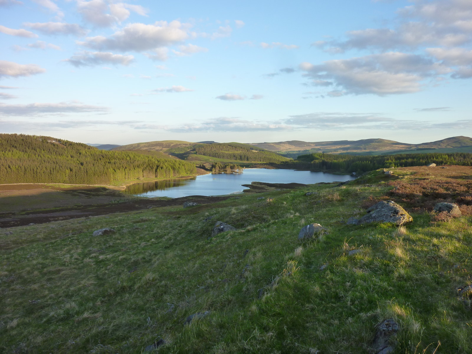
Black Binks offers breathtaking panoramic views of the Angus countryside, with its summit providing an excellent vantage point to observe the picturesque glens, rolling hills, and nearby lochs. On clear days, it is even possible to see the North Sea shimmering in the distance.

The mountain's terrain is challenging, with steep ascents and rocky paths, making it a thrilling experience for experienced climbers. However, less experienced walkers can also enjoy the area by following the various well-marked trails that wind through the surrounding hillsides.

Black Binks is home to a diverse range of flora and fauna, including heather, bilberry, and various bird species such as the golden eagle and peregrine falcon. The area is also rich in history and folklore, with ancient ruins and stone circles scattered throughout the vicinity.

Overall, Black Binks, Angus (Hill, Mountain) offers a captivating and rewarding outdoor experience, combining stunning natural beauty, challenging terrain, and a glimpse into Scotland's rich history and heritage.

If you have any feedback on the listing, please let us know in the comments section below.
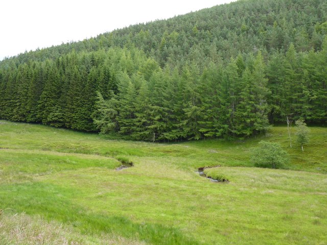
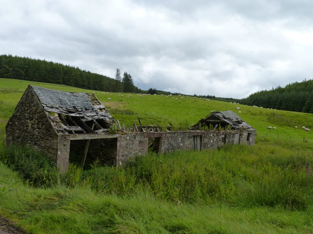
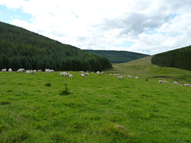
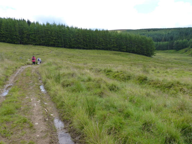
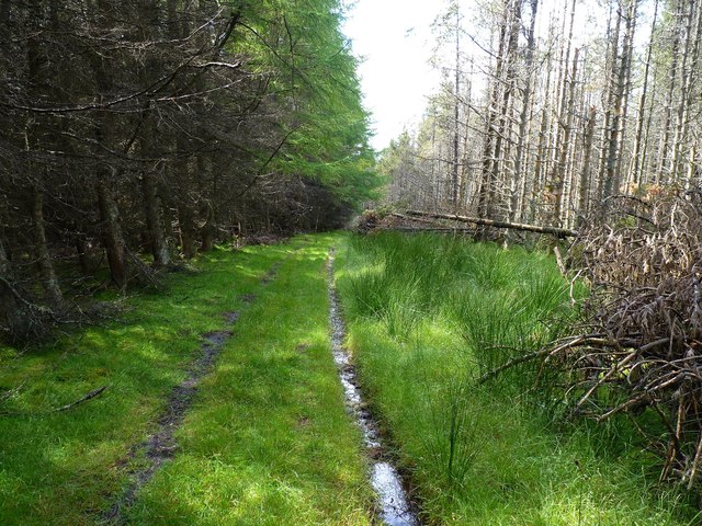
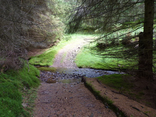
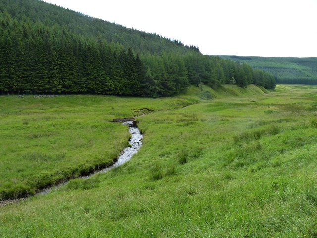
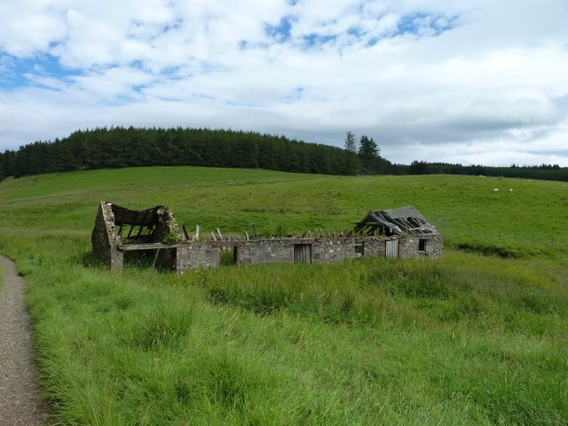
Black Binks Images

Images are sourced within 2km of 56.771854/-3.214854 or Grid Reference NO2565. Thanks to Geograph Open Source API. All images are credited.

Loop on the burn A sinuous stretch of the Hole Burn with the trees of Harran Plantation behind.
Loop on the burn
A sinuous stretch of the Hole Burn with the trees of Harran Plantation behind.
In need of some TLC Abandoned farm buildings in a spot named Hole.
In need of some TLC
Abandoned farm buildings in a spot named Hole.
Flock among the forests Sheep grazing on some remaining unforested ground.
Flock among the forests
Sheep grazing on some remaining unforested ground.
Approaching Drumshade A small group of walkers making their way along the track towards Drumshade Plantation.
Approaching Drumshade
A small group of walkers making their way along the track towards Drumshade Plantation.
Woodland track Through Drumshade Plantation.
Woodland track
Through Drumshade Plantation.
Meikle Artochny Where the track through Drumshade Plantation fords the burn.
Meikle Artochny
Where the track through Drumshade Plantation fords the burn.
Footbridge over burn The Hole burn alongside Harran Plantation.
Footbridge over burn
The Hole burn alongside Harran Plantation.
More slates off the roof Abandoned farm buildings at Hole. In a worse state now than they were when last I saw them two years ago <a href="https://www.geograph.org.uk/photo/3063799">NO2664 : In need of some TLC</a> and exhibiting an even greater deterioration since October 2005 <a href="https://www.geograph.org.uk/photo/95072">NO2664 : "Hole" - Ruined Steading - 2km NNE Backwater Reservoir</a>.
More slates off the roof
Abandoned farm buildings at Hole. In a worse state now than they were when last I saw them two years ago NO2664 : In need of some TLC and exhibiting an even greater deterioration since October 2005 NO2664 : "Hole" - Ruined Steading - 2km NNE Backwater Reservoir.
Glenmarkie Farm Horses grazing beyond the all weather training area. Glenmarkie is a secluded guest house offering riding holidays. The forest relents here allowing easy access to vast areas of moorland.
Glenmarkie Farm
Horses grazing beyond the all weather training area. Glenmarkie is a secluded guest house offering riding holidays. The forest relents here allowing easy access to vast areas of moorland.
"Hole" - Ruined Steading - 2km NNE Backwater Reservoir
Glen Damff
Glen Damff
Kylebank Plantation
Kylebank Plantation
Forest edge, Glenmarkie Edge of large forest block east of Glenmarkie Farm.
Forest edge, Glenmarkie
Edge of large forest block east of Glenmarkie Farm.
Glentaitney Burn Burn just after it emerges from the forest. Last resting place of at least two sheep.
Glentaitney Burn
Burn just after it emerges from the forest. Last resting place of at least two sheep.
Glen Taitney This shallow glen is largely forested, a crop having recently been taken out from this part. The line just above the surviving trees in the middle distance is a leat that once ran to just above Glenmarkie Lodge.
Glen Taitney
This shallow glen is largely forested, a crop having recently been taken out from this part. The line just above the surviving trees in the middle distance is a leat that once ran to just above Glenmarkie Lodge.
Mid  Shank A long gentle ridge running south from Craigie Thieves.  Covered in heather and well populated by grouse. The prominent hill is Hare Cairn.  Blackwater Reservoir can just be seen.
Mid Shank
A long gentle ridge running south from Craigie Thieves. Covered in heather and well populated by grouse. The prominent hill is Hare Cairn. Blackwater Reservoir can just be seen.
Mid Rig Gentle moorland ridge running south from Craigie Thieves. Used as grouse moor and for grazing sheep. Some of the western part of the square is forested.

Looking down the ridge towards Hare Cairn and Blackwater Reservoir.
Mid Rig
Gentle moorland ridge running south from Craigie Thieves. Used as grouse moor and for grazing sheep. Some of the western part of the square is forested. Looking down the ridge towards Hare Cairn and Blackwater Reservoir.
Forest track, Moss of Glanny An old track up the E side of the valley.
Forest track, Moss of Glanny
An old track up the E side of the valley.
Show me another place!

Black Binks is located at Grid Ref: NO2565 (Lat: 56.771854, Lng: -3.214854)

Unitary Authority: Angus

Police Authority: Tayside

What 3 Words

///unscrew.repeating.mistaking. Near Alyth, Perth & Kinross

Nearby Locations

Black Binks

Related Wikis

Knockshannoch Lodge

Knockshannoch Lodge is a Category B listed building in the Scottish village of Glenisla, Angus, built around 1888. It is a small, single-storey cottage...

Auchintaple Loch

Auchintaple Loch also known as Auchenchapel Loch, is a small shallow freshwater loch that is located in Glen Isla in Angus, Scotland. == See also == List...

Backwater Reservoir

Backwater Reservoir is a reservoir in north west Angus, Scotland. The reservoir's sole purpose is to provide drinking water, and as such, it supplies Angus...

Kirkton of Glenisla

Kirkton of Glenisla consists of a church and graveyard, a hotel, hall and several homes forming the largest concentration of habitation in Glenisla, Angus...

Nearby Amenities

Located within 500m of 56.771854,-3.214854
Black Binks
Ele: 502
Natural: peak
Lat/Long: 56.7717777/-3.2140938
The data included in this document is from www.openstreetmap.org. The data is made available under ODbL.

Have you been to Black Binks?

Leave your review of Black Binks below (or comments, questions and feedback).