Cavarra Hill

Hill, Mountain in Peeblesshire

Scotland

Cavarra Hill

Heathpool Common An unexpected area of heather moorland amongst the fields and forestry. View towards Collie Law.
Heathpool Common Credit: Richard Webb

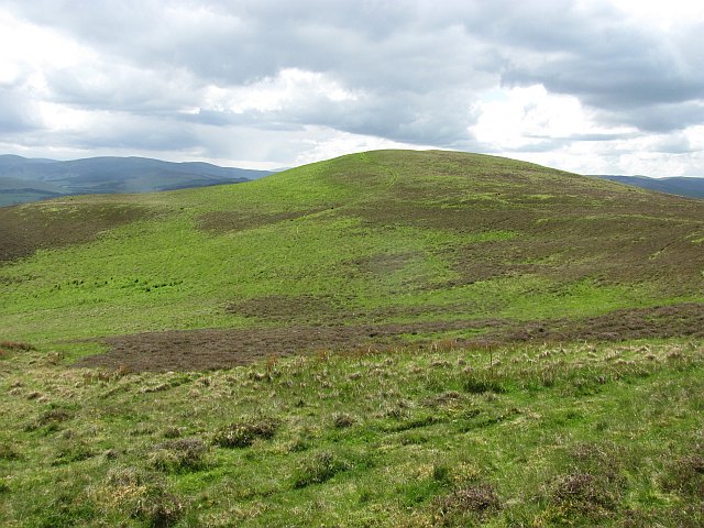
Cavarra Hill is a prominent landmark located in Peeblesshire, a historic county in the Scottish Borders region of Scotland. Rising to a height of approximately 435 meters (1,427 feet), it is classified as a hill rather than a mountain but still offers breathtaking views of the surrounding landscape.

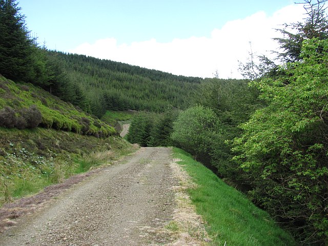
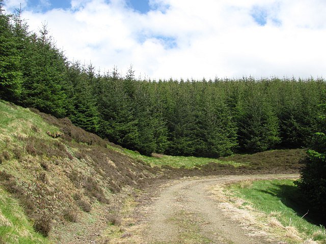
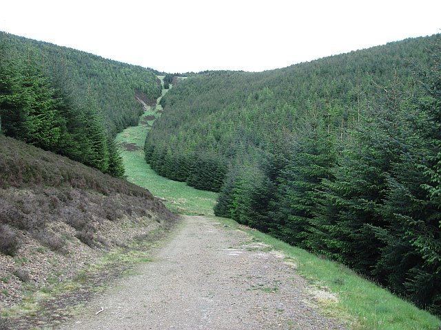
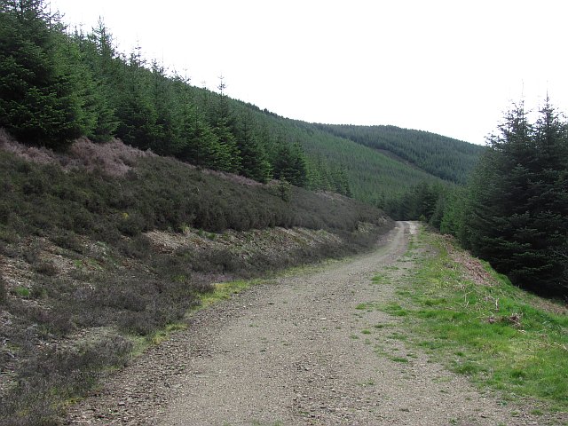
Situated near the town of Peebles, Cavarra Hill is a popular destination for outdoor enthusiasts, hikers, and nature lovers. The hill is easily accessible, with several walking trails leading to its summit. These trails vary in difficulty, catering to both experienced hikers and those seeking a more leisurely stroll.

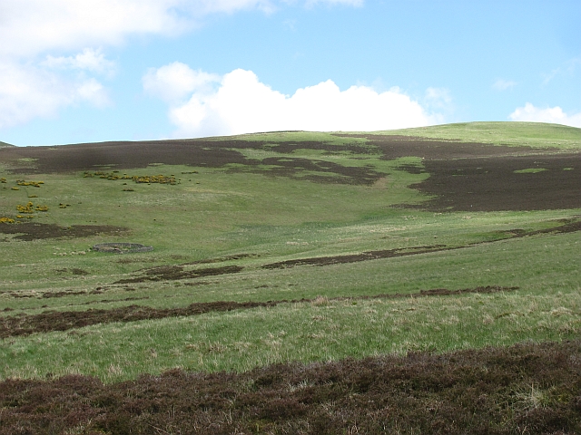
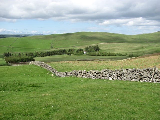
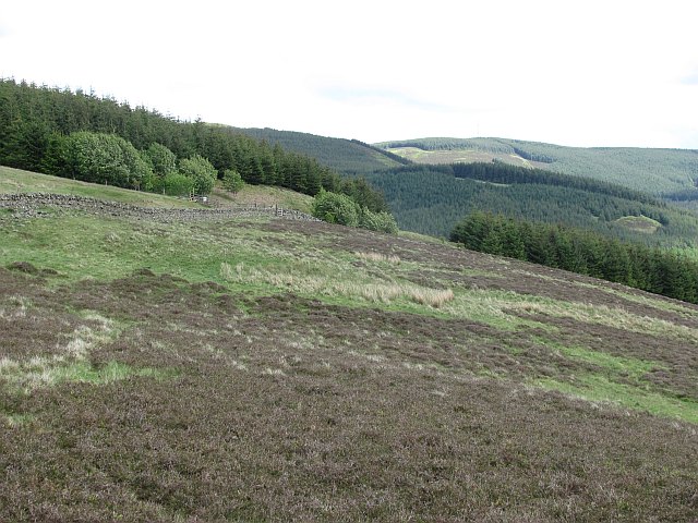
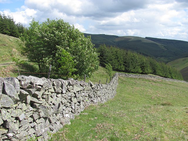
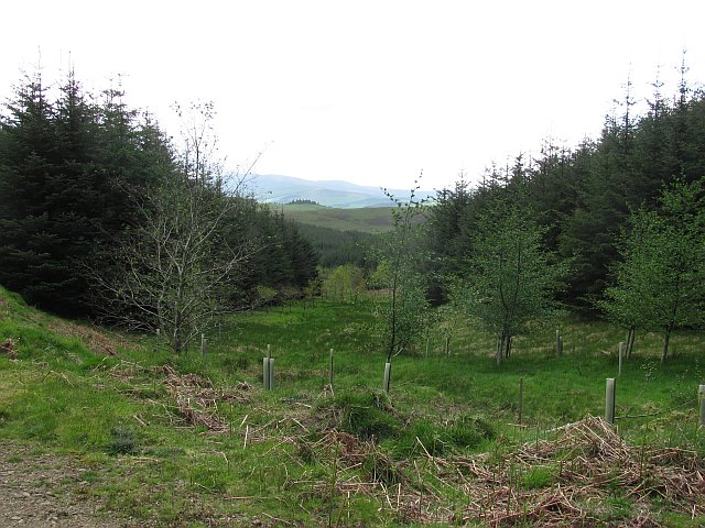
The hill is predominantly covered in grass and heather, creating a picturesque scene throughout the year. As visitors ascend the hill, they are treated to panoramic vistas of the rolling hills, lush green valleys, and meandering rivers that characterize the Scottish Borders region. On clear days, it is even possible to see as far as the distant peaks of the Southern Uplands.

Cavarra Hill also holds historical significance, with remnants of an Iron Age hillfort located on its summit. These archaeological remains add an additional layer of interest for those exploring the hill.

Overall, Cavarra Hill offers a wonderful opportunity to immerse oneself in the natural beauty of Peeblesshire. With its accessible trails and captivating views, it is a must-visit attraction for anyone seeking to experience the Scottish countryside.

If you have any feedback on the listing, please let us know in the comments section below.
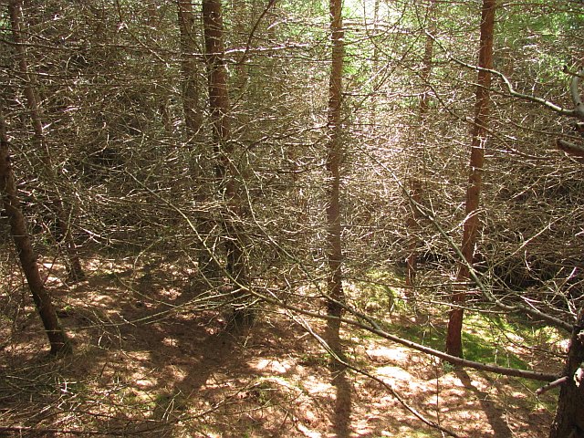
Cavarra Hill Images

Images are sourced within 2km of 55.697349/-3.1820359 or Grid Reference NT2545. Thanks to Geograph Open Source API. All images are credited.

Heathpool Common An unexpected area of heather moorland amongst the fields and forestry. View towards Collie Law.
Heathpool Common
An unexpected area of heather moorland amongst the fields and forestry. View towards Collie Law.
Heathpool Common The dyke separates a heather moor from improved grazing. There is a gate at NT251439 which leads on to the moor.  If travelling with a horse, beware! There is a further gate at NT262443 which is locked. Not too helpful if trying to get into the forest.
Heathpool Common
The dyke separates a heather moor from improved grazing. There is a gate at NT251439 which leads on to the moor. If travelling with a horse, beware! There is a further gate at NT262443 which is locked. Not too helpful if trying to get into the forest.
Gate, Winkston Hill A gate allows movement from farmland to an area of moorland. A path heads towards White Law and the forest beyond, but the next gate, similar to this one is locked. No probs on foot or a bike, but a horse stopper.
Gate, Winkston Hill
A gate allows movement from farmland to an area of moorland. A path heads towards White Law and the forest beyond, but the next gate, similar to this one is locked. No probs on foot or a bike, but a horse stopper.
Path, Winkston Hill An area of rough grazing and moorland to the northwest of Collie Law (background).
Path, Winkston Hill
An area of rough grazing and moorland to the northwest of Collie Law (background).
Heathpool Common An area of moorland and rough grassland on Collie Law.
Heathpool Common
An area of moorland and rough grassland on Collie Law.
Collie Law A circular sheep fank beneath Collie Law.
Collie Law
A circular sheep fank beneath Collie Law.
Winkston Hill Spring grass on an upland pasture. Behind the camera is a contrasting area of heather.
Winkston Hill
Spring grass on an upland pasture. Behind the camera is a contrasting area of heather.
Ewes and lambs, Winkston Hill Sheep pasture above Peebles.
Ewes and lambs, Winkston Hill
Sheep pasture above Peebles.
Winkston Hill A view along the ridge.
Winkston Hill
A view along the ridge.
Forest and moor, White Hill Young plantation, an extension to the vast woodlands in the south west Moorfoot Hills.
Forest and moor, White Hill
Young plantation, an extension to the vast woodlands in the south west Moorfoot Hills.
Collie Law Moorland summit in the Moorfoot Hills.
Collie Law
Moorland summit in the Moorfoot Hills.
Dyke, White Law Edge of the forest above Soonhope.
Dyke, White Law
Edge of the forest above Soonhope.
Logging road, Crookshope View along one of the forest roads which contour the steep sides of some of the Moorfoot Hill glens.
Logging road, Crookshope
View along one of the forest roads which contour the steep sides of some of the Moorfoot Hill glens.
Forest, Crookshope Sitka spruce plantations at the head of Crookshope beneath Whiteside Edge.
Forest, Crookshope
Sitka spruce plantations at the head of Crookshope beneath Whiteside Edge.
Forest road, Soonhope The upper reaches of the Soonhope Burn, clothed in a first generation Sitka spruce plantation.
Forest road, Soonhope
The upper reaches of the Soonhope Burn, clothed in a first generation Sitka spruce plantation.
Soonhope Burn A gap in the Sitka spruce for the burn, with some limited broadleaf planting.
Soonhope Burn
A gap in the Sitka spruce for the burn, with some limited broadleaf planting.
Forest road, Soonhope A road contours around the upper glen through seemingly endless Sitka plantations.
Forest road, Soonhope
A road contours around the upper glen through seemingly endless Sitka plantations.
Dense larch wood There is a way through - but you have to work at it.
Dense larch wood
There is a way through - but you have to work at it.
Show me another place!

Cavarra Hill is located at Grid Ref: NT2545 (Lat: 55.697349, Lng: -3.1820359)

Unitary Authority: The Scottish Borders

Police Authority: The Lothians and Scottish Borders

What 3 Words

///attending.armful.marker. Near Peebles, Scottish Borders

Nearby Locations

Cavarra Hill

Related Wikis

Milkieston Rings

Milkieston Rings is a prehistoric site, a hillfort near the village of Eddleston and about 3 miles (5 km) north of Peebles, in the Scottish Borders, Scotland...

Eddleston

Eddleston (Scottish Gaelic: Baile Ghille Mhoire) is a small village and civil parish in the Scottish Borders area of Scotland. It lies 4 miles (6.4 km...

Eddleston railway station

Eddleston railway station served the village of Eddleston, Scottish Borders, Scotland from 1855 to 1962 on the Peebles Railway. == History == The station...

Redscarhead

Redscarhead is a village in the Scottish Borders area of Scotland, off the A703, by the Eddleston Water, and close to Cringletie. In the village is a memorial...

Nearby Amenities

Located within 500m of 55.697349,-3.1820359
Cavarra Hill
Ele: 420
Natural: peak
Lat/Long: 55.6973442/-3.1822351
The data included in this document is from www.openstreetmap.org. The data is made available under ODbL.

Have you been to Cavarra Hill?

Leave your review of Cavarra Hill below (or comments, questions and feedback).