Braushie Cree
Hill, Mountain in Banffshire
Scotland
Braushie Cree

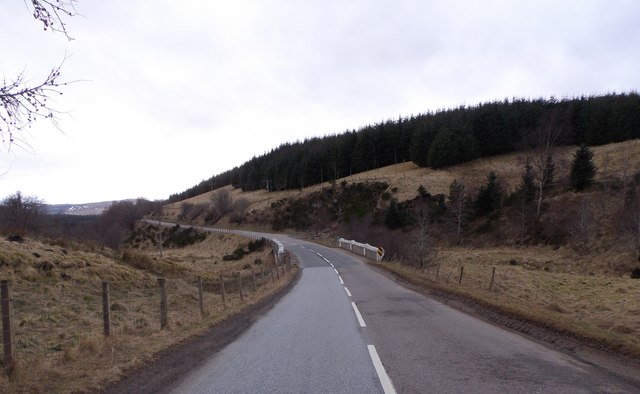
Braushie Cree is a prominent hill located in the county of Banffshire, in the northeastern part of Scotland. Rising to an impressive height of approximately 530 meters (1,739 feet), it offers breathtaking views of the surrounding landscape. This picturesque hill is situated near the village of Corgarff, nestled within the scenic Cairngorms National Park.
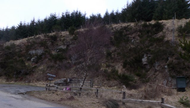
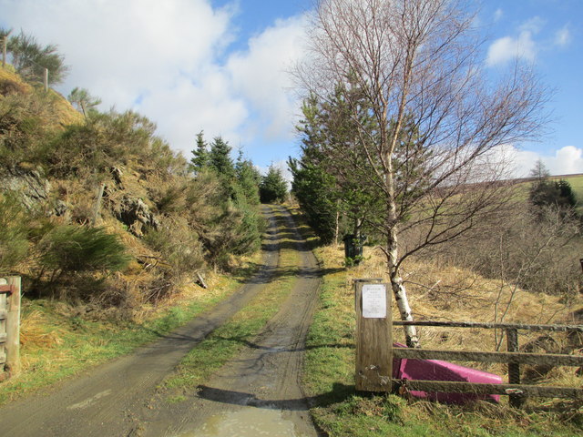
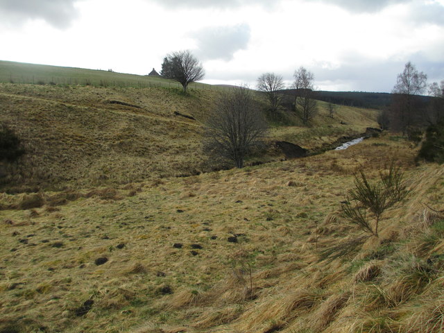
Braushie Cree is part of a range of hills that form the eastern edge of the park, known for their rugged beauty and diverse wildlife. It is a popular destination among outdoor enthusiasts, hikers, and nature lovers due to its accessibility and stunning vistas.
The hill is composed of ancient granite and is characterized by its distinctive shape, with a broad, rounded summit and steep slopes. The vegetation on Braushie Cree is primarily heather, which blankets the hillside in a vibrant purple hue during the summer months.
The summit of Braushie Cree offers panoramic views of the surrounding countryside, including the nearby mountain peaks, rolling hills, and sprawling valleys. On a clear day, it is possible to see as far as the Grampian Mountains to the south and the Moray Firth to the north.
Braushie Cree provides an ideal location for outdoor activities such as hillwalking, photography, and birdwatching. The hill is home to various bird species, including golden eagles, peregrine falcons, and red grouse, making it a haven for bird enthusiasts.
In summary, Braushie Cree is a captivating hill in Banffshire, Scotland, renowned for its striking beauty, diverse wildlife, and mesmerizing views. It offers an unforgettable experience for those seeking to immerse themselves in the natural splendor of the Scottish Highlands.
If you have any feedback on the listing, please let us know in the comments section below.
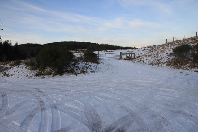
Braushie Cree Images
Images are sourced within 2km of 57.38077/-3.2394497 or Grid Reference NJ2532. Thanks to Geograph Open Source API. All images are credited.


Braushie Cree is located at Grid Ref: NJ2532 (Lat: 57.38077, Lng: -3.2394497)
Unitary Authority: Moray
Police Authority: North East
What 3 Words
///crusher.bells.scrubber. Near Dufftown, Moray
Nearby Locations
Related Wikis

Achnastank
Achnastank (Scottish Gaelic: Achadh nan Staing, field of the pool/ditch) is a scattered settlement, south east of Ben Rinnes, in the Scottish council area...
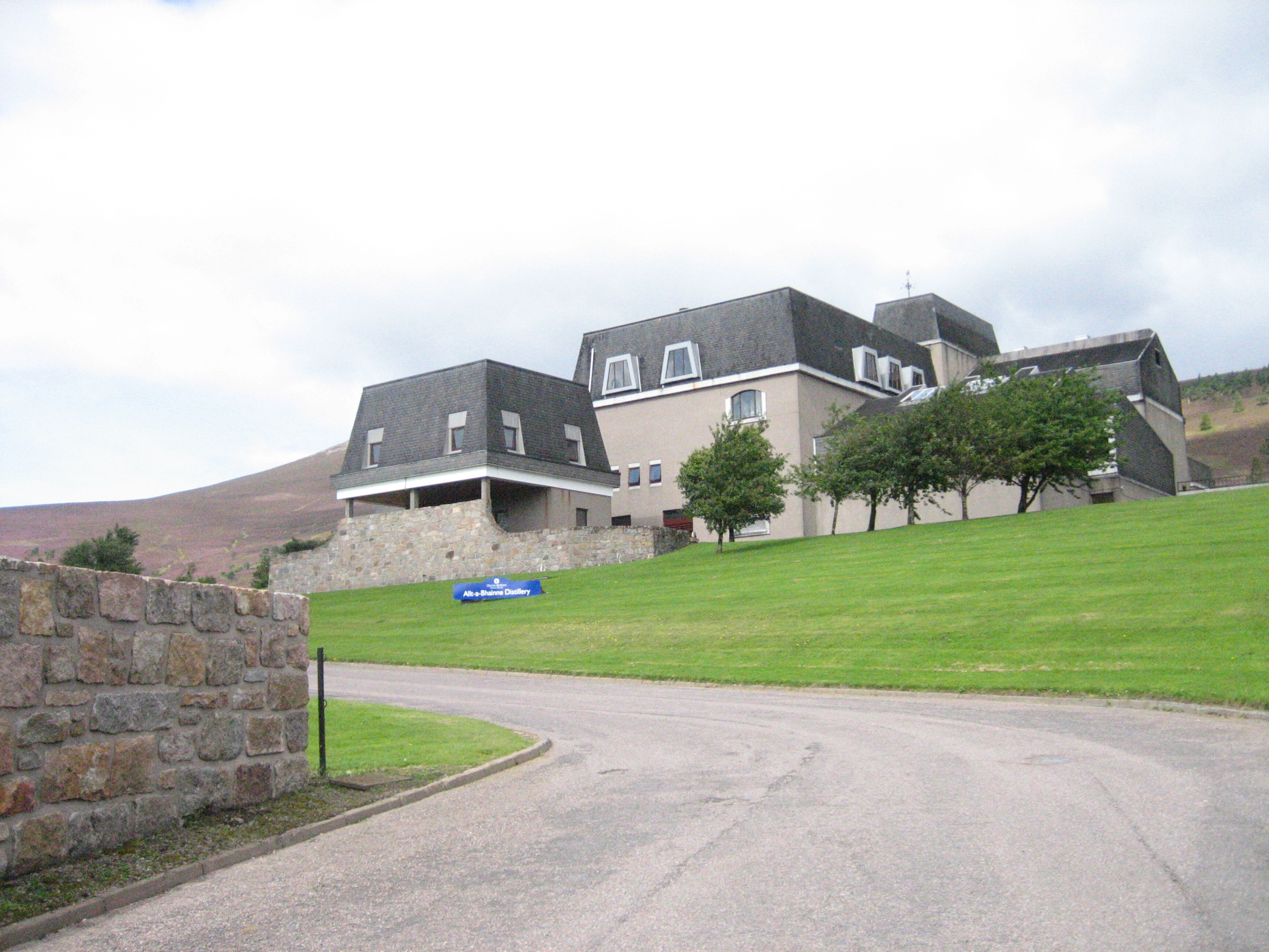
Allt-A-Bhainne distillery
Allt-A-Bhainne distillery (Scottish Gaelic: Allt a' Bhainne [al̪ˠt̪əˈvaɲə], meaning 'milk burn') is a Scotch whisky distillery in the Speyside Region of...

Ben Rinnes
Ben Rinnes (Scottish Gaelic: Beinn Ruaidhneis) is a mountain in Banffshire, in northern Scotland. The mountain is popular with hikers. The mountain is...

Battle of Glenlivet
The Battle of Glenlivet was a Scottish clan battle fought on 3 October 1594 near Glenlivet, Moray, Scotland. It was fought between Protestant forces loyal...
Nearby Amenities
Located within 500m of 57.38077,-3.2394497Have you been to Braushie Cree?
Leave your review of Braushie Cree below (or comments, questions and feedback).