Ben Rinnes
Hill, Mountain in Banffshire
Scotland
Ben Rinnes

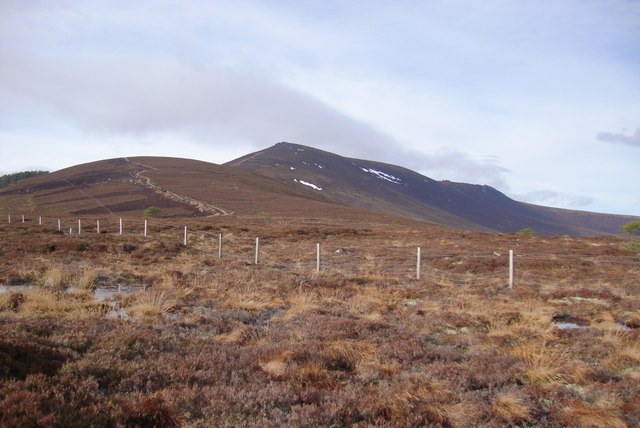
Ben Rinnes is a prominent hill located in the county of Banffshire, Scotland. Standing at an impressive height of 841 meters (2,759 feet), it is a popular destination for outdoor enthusiasts and hikers. The hill is situated within the Cairngorms National Park, renowned for its breathtaking landscapes and diverse wildlife.
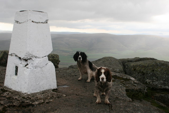
The ascent to the summit of Ben Rinnes offers stunning panoramic views of the surrounding area. On a clear day, one can see as far as the Moray Firth, the Grampian Mountains, and even the distant peaks of the Scottish Highlands. The hill is characterized by its distinctive cone-shaped peak, which is often covered in snow during the winter months, adding to its scenic allure.
The terrain on Ben Rinnes varies, with lower slopes covered in heather and grasses, gradually giving way to more rugged and rocky sections as one ascends. The hill is home to a variety of flora and fauna, including red deer, mountain hares, and various bird species such as ptarmigans and golden eagles.
Access to Ben Rinnes is facilitated by well-marked trails and paths, making it suitable for both experienced hikers and beginners. The most popular route starts from the nearby village of Dufftown, known for its whisky distilleries, and follows a well-maintained path up the hill. The hike usually takes around four to five hours to complete, depending on the pace.
Overall, Ben Rinnes offers a rewarding outdoor experience, combining breathtaking scenery, wildlife encounters, and a sense of adventure for those seeking to explore the natural beauty of Banffshire.
If you have any feedback on the listing, please let us know in the comments section below.
Ben Rinnes Images
Images are sourced within 2km of 57.403336/-3.2413602 or Grid Reference NJ2535. Thanks to Geograph Open Source API. All images are credited.


Ben Rinnes is located at Grid Ref: NJ2535 (Lat: 57.403336, Lng: -3.2413602)
Unitary Authority: Moray
Police Authority: North East
What 3 Words
///fruitcake.renew.stubbed. Near Charlestown of Aberlour, Moray
Nearby Locations
Related Wikis

Ben Rinnes
Ben Rinnes (Scottish Gaelic: Beinn Ruaidhneis) is a mountain in Banffshire, in northern Scotland. The mountain is popular with hikers. The mountain is...

Moray
Moray ( ) Scottish Gaelic: Moireibh or Moireabh) is one of the 32 local government council areas of Scotland. It lies in the north-east of the country...
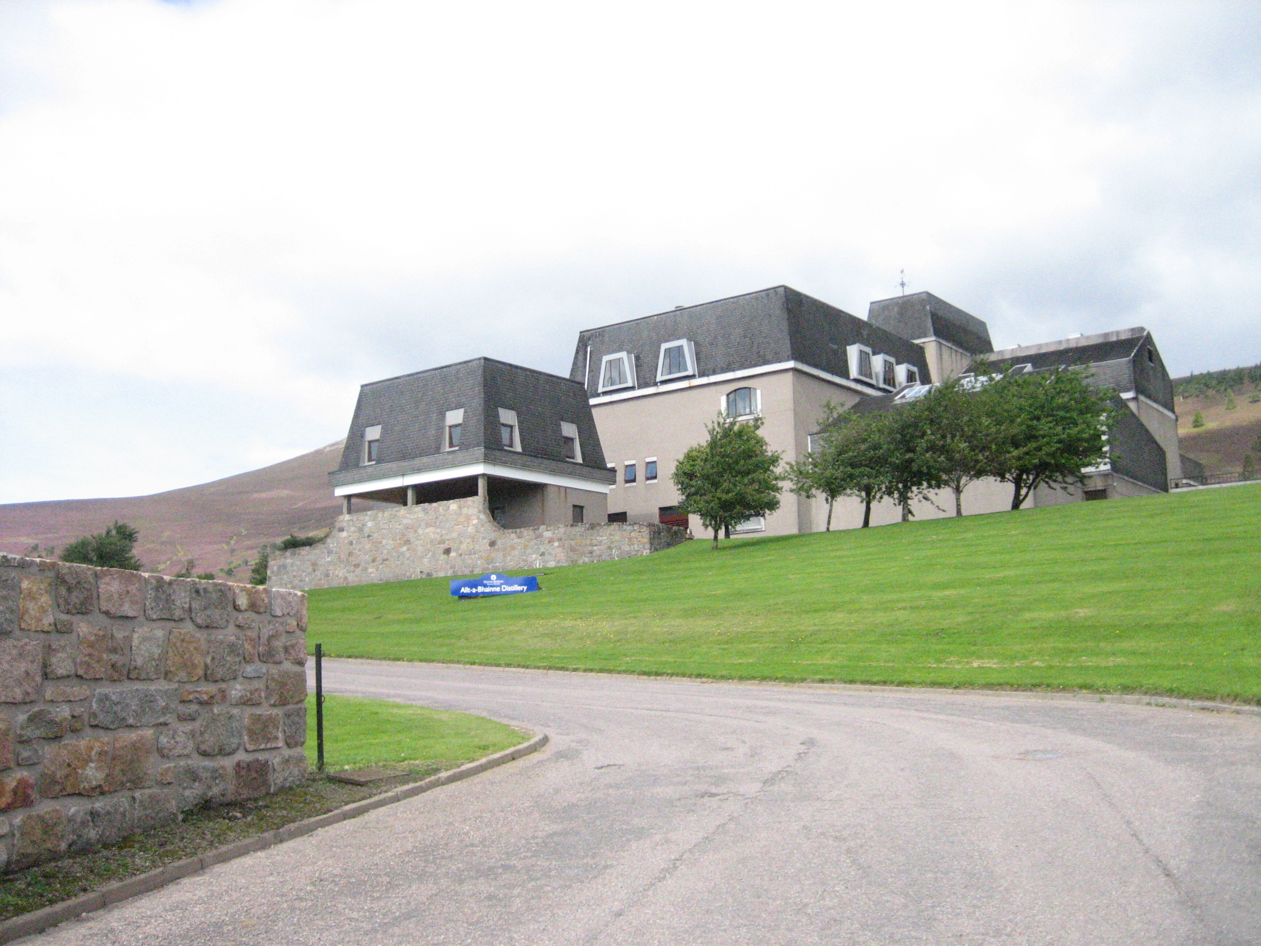
Allt-A-Bhainne distillery
Allt-A-Bhainne distillery (Scottish Gaelic: Allt a' Bhainne [al̪ˠt̪əˈvaɲə], meaning 'milk burn') is a Scotch whisky distillery in the Speyside Region of...

Achnastank
Achnastank (Scottish Gaelic: Achadh nan Staing, field of the pool/ditch) is a scattered settlement, south east of Ben Rinnes, in the Scottish council area...

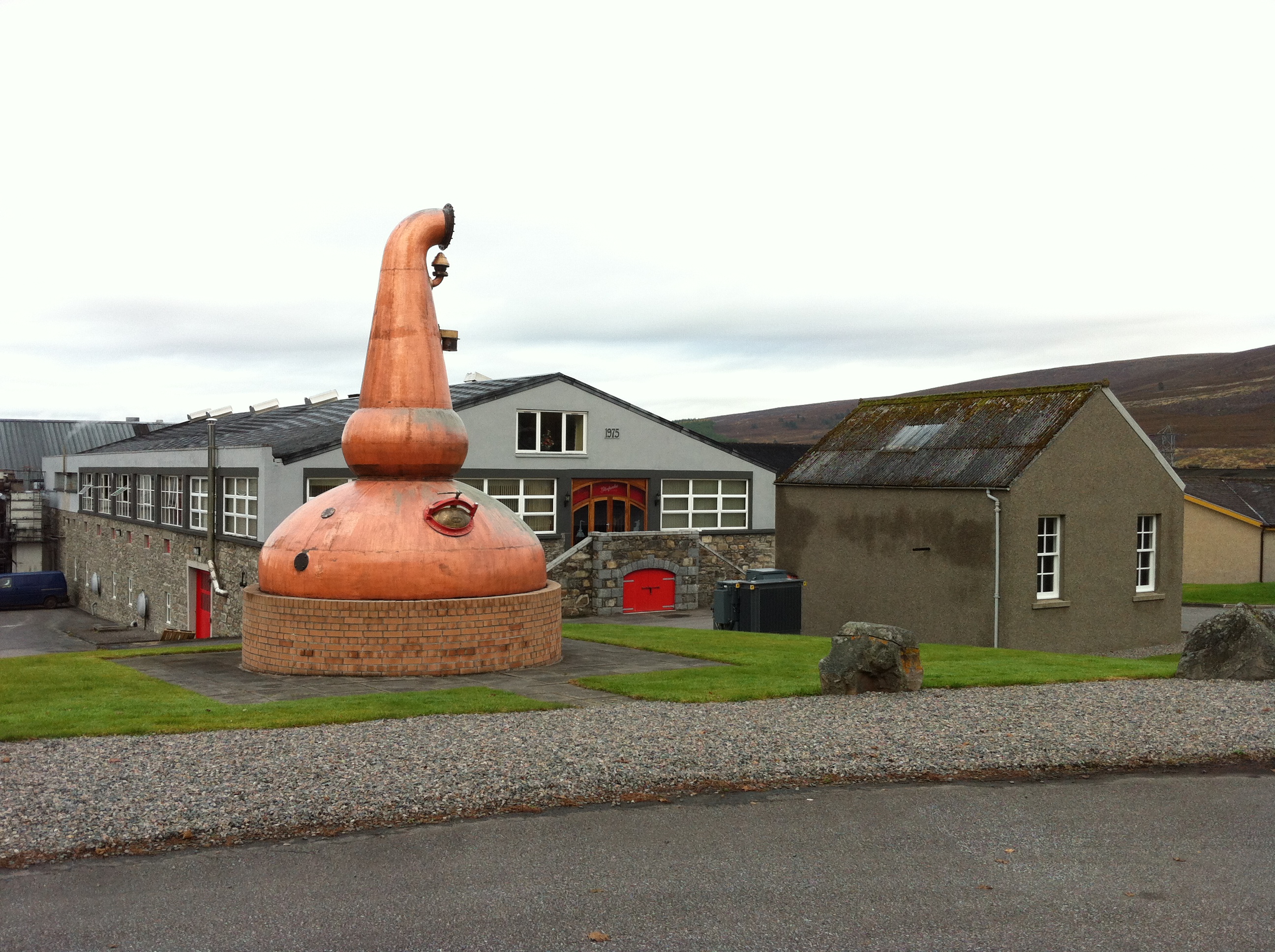
Benrinnes distillery
Benrinnes distillery is a malt whisky distillery in Aberlour producing an eponymous whisky. It was founded in 1826, and is still active. The distillery...
Glenfarclas distillery
Glenfarclas distillery is a Speyside whisky distillery in Ballindalloch, Scotland. Glenfarclas translates as meaning valley of the green grass. The distillery...

Glenallachie distillery
GlenAllachie distillery is a Speyside, single malt whisky distillery at Aberlour founded in 1967, which sits at the foot of Ben Rinnes. Previously, the...

Dailuaine distillery
Dailuaine distillery (Scottish Gaelic: Dail Uaine, [t̪alˈuəɲə], "Green Meadow") is a single malt whisky distillery in Charlestown-of-Aberlour, Strathspey...
Nearby Amenities
Located within 500m of 57.403336,-3.2413602Have you been to Ben Rinnes?
Leave your review of Ben Rinnes below (or comments, questions and feedback).