Hillock of Fulziegeo

Hill, Mountain in Orkney

Scotland

Hillock of Fulziegeo

Hoy Low Lighthouse, Graemesay
Hoy Low Lighthouse, Graemesay Credit: Mike Pennington

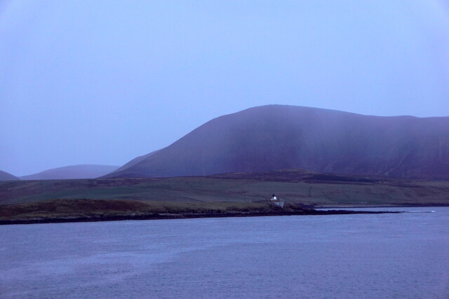
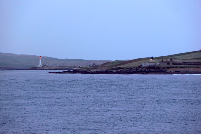
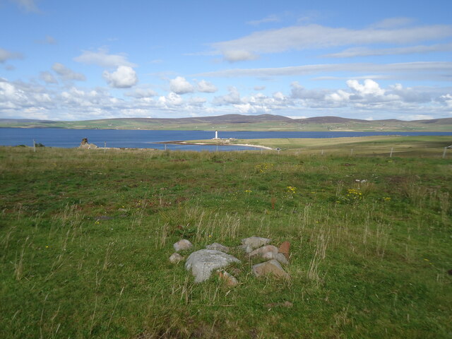
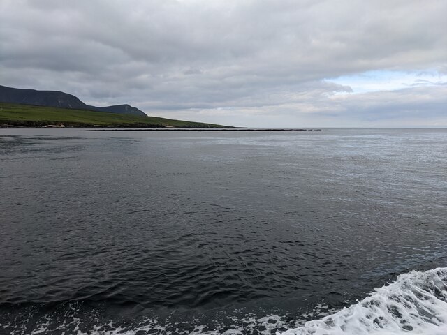
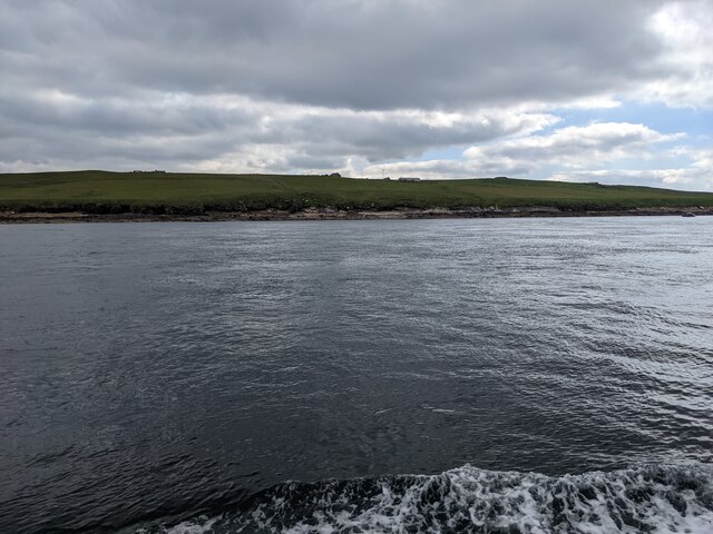
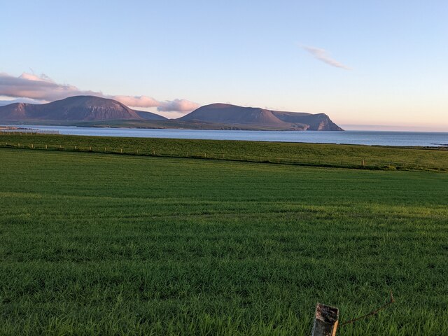
Hillock of Fulziegeo, located in Orkney, Scotland, is a prominent hill that stands at an elevation of approximately 63 meters (207 feet). Situated on the island of South Ronaldsay, it offers breathtaking panoramic views of the surrounding landscape and the North Sea. The hill is formed by layers of sandstone and shale, giving it a distinctive appearance and contributing to its geological significance.

Hillock of Fulziegeo is a popular destination for hikers and nature enthusiasts due to its relatively easy accessibility and stunning vistas. The hill is covered in heather, grasses, and various wildflowers, creating a vibrant and picturesque atmosphere. With its peaceful ambiance and unspoiled natural beauty, it is an ideal spot for a leisurely walk or a picnic.

The hill is also home to a diverse range of wildlife, including various bird species, rabbits, and other small mammals. Birdwatchers can spot a variety of seabirds, such as fulmars and kittiwakes, which nest along the nearby cliffs.

Visitors to Hillock of Fulziegeo can explore the area's rich history as well. The surrounding landscape is dotted with archaeological sites, including a nearby Iron Age fort and the Tomb of the Eagles, which is a Neolithic chambered tomb. These ancient structures provide insights into the lives and customs of the people who lived in the area thousands of years ago.

Overall, Hillock of Fulziegeo offers a unique blend of natural beauty, recreational opportunities, and historical significance, making it a must-visit destination for those exploring Orkney.

If you have any feedback on the listing, please let us know in the comments section below.

Hillock of Fulziegeo Images

Images are sourced within 2km of 58.939544/-3.3063709 or Grid Reference HY2406. Thanks to Geograph Open Source API. All images are credited.

Hoy Low Lighthouse, Graemesay
Hoy Low and Hoy High Lighthouses, Graemesay
The summit of West Hill, Graemsay Looking past the Sandside Lighthouse to Mid Hill and Ward Hill on Orkney Mainland.
The summit of West Hill, Graemsay
Looking past the Sandside Lighthouse to Mid Hill and Ward Hill on Orkney Mainland.
Stromness (south) I am looking from the end of the South Pier, Stromness Harbour, Orkney, to the southern end of the town and the Ness beyond. The distinctive outlines of the hills of Hoy rise up in the distance.
Stromness (south)
I am looking from the end of the South Pier, Stromness Harbour, Orkney, to the southern end of the town and the Ness beyond. The distinctive outlines of the hills of Hoy rise up in the distance.
Outer Skerry rock bank The skerry is the thin dark line below the horizon. Seen from the Hoy Ferry.
Outer Skerry rock bank
The skerry is the thin dark line below the horizon. Seen from the Hoy Ferry.
The western shore of Graemsay I see from the map that the farm just visible in the distance is called 'Windywalls'. Probably a very apt name!
The western shore of Graemsay
I see from the map that the farm just visible in the distance is called 'Windywalls'. Probably a very apt name!
The lighthouse at Point of Oxan
Fields above Stromness Looking towards Hoy.
Fields above Stromness
Looking towards Hoy.
Buildings at Ness Battery
Pools on the golf course Above Ness Battery, with Hoy in the background.
Pools on the golf course
Above Ness Battery, with Hoy in the background.
The Skerry of Ness The white pole is a navigation mark on the edge of the reef. Taken from the Hoy ferry.
The Skerry of Ness
The white pole is a navigation mark on the edge of the reef. Taken from the Hoy ferry.
Outer Holm The island has a high point of 8m on the OS map.
Outer Holm
The island has a high point of 8m on the OS map.
The southern end of Outer Holm Where the high point of 8m is located.
The southern end of Outer Holm
Where the high point of 8m is located.
The lighthouse at Sandside, Graemsay From across Hoy Sound
The lighthouse at Sandside, Graemsay
From across Hoy Sound
Animal trap and sea defences, Warebeth, Orkney The trap is one of nearly 6,000 deployed by the Orkney Native Wildlife Project across Orkney Mainland and the linked southern isles. The objective of the project is to eradicate the non-native stoat, which was first reported on the islands in 2010, in order to protect ground-nesting birds and the Orkney vole.

The sea defences protect Warebeth (also known as Warbeth) cemetery and the possibly medieval  remains of a chapel within it.
Animal trap and sea defences, Warebeth, Orkney
The trap is one of nearly 6,000 deployed by the Orkney Native Wildlife Project across Orkney Mainland and the linked southern isles. The objective of the project is to eradicate the non-native stoat, which was first reported on the islands in 2010, in order to protect ground-nesting birds and the Orkney vole. The sea defences protect Warebeth (also known as Warbeth) cemetery and the possibly medieval remains of a chapel within it.
Noust of Nethertown, Orkney Looking along Hoy Sound between Orkney Mainland and Graemsay.
Noust of Nethertown, Orkney
Looking along Hoy Sound between Orkney Mainland and Graemsay.
Point of Ness The last headland before entering harbour at Stromness, with the bulky outline of Hoy in the distance.
Point of Ness
The last headland before entering harbour at Stromness, with the bulky outline of Hoy in the distance.
Stromness shore Looking towards the harbour. The MV Hamnavoe ferry is arriving.
Stromness shore
Looking towards the harbour. The MV Hamnavoe ferry is arriving.
Show me another place!

Hillock of Fulziegeo is located at Grid Ref: HY2406 (Lat: 58.939544, Lng: -3.3063709)

Unitary Authority: Orkney Islands

Police Authority: Highlands and Islands

What 3 Words

///snows.reporting.kickbacks. Near Stromness, Orkney Islands

Related Wikis

Graemsay

Graemsay () is an island in the western approaches to Scapa Flow, in the Orkney Islands of Scotland. The island has two lighthouses. Graemsay lies within...

Hoy Sound

Hoy Sound is a body of salt water subject to tidal currents situated south of the town of Stromness in the Orkney archipelago of Scotland. The sound lies...

Stromness Museum

Stromness Museum is a small independent museum in the town of Stromness in Orkney, Scotland focusing on the town's connections to maritime and natural...

Stromness

Stromness (locally , Old Norse: Straumnes; Norn: Stromnes) is the second-most populous town in Orkney, Scotland. It is in the southwestern part of Mainland...

Inner Holm

Inner Holm is a small inhabited island in Stromness harbour and one of the Orkney islands of Scotland. It is about 350 metres (1,150 ft) east of the harbour...

Pier Arts Centre

The Pier Arts Centre is an art gallery and museum in Stromness, Orkney, Scotland. It was established in 1979 to provide a home for an important collection...

European Marine Energy Centre

The European Marine Energy Centre (EMEC) Ltd is a UKAS accredited test and research center focused on wave and tidal power development, based in the Orkney...

Clestrain Sound

Clestrain Sound is a strait between Mainland Orkney and the Isle of Graemsay within the Orkney Islands, Scotland.Clestrain Sound lies in the western entrance...

Nearby Amenities

Located within 500m of 58.939544,-3.3063709
Strunting
Place: locality
Lat/Long: 58.9405858/-3.3027141
Coopers Noust
Place: locality
Lat/Long: 58.9395452/-3.3000963
Face of Cletts
Place: locality
Lat/Long: 58.9381945/-3.2986801
Fulzie Geo
Place: locality
Lat/Long: 58.9408737/-3.3072846
Power: pole
Lat/Long: 58.9370526/-3.3039102
Power: pole
Lat/Long: 58.9364312/-3.3026522
Power: pole
Lat/Long: 58.9358499/-3.3015445
Power: pole
Lat/Long: 58.9401359/-3.3097668
Power: pole
Lat/Long: 58.9393527/-3.3082822
Power: pole
Lat/Long: 58.9385915/-3.3068204
Power: pole
Lat/Long: 58.9378138/-3.3053318
Site of St Colm's Chapel + burial ground (Medieval)
Historic: archaeological_site
Lat/Long: 58.9395179/-3.311442
Point of Oxan
Place: locality
Lat/Long: 58.9388557/-3.3146313
The data included in this document is from www.openstreetmap.org. The data is made available under ODbL.

Have you been to Hillock of Fulziegeo?

Leave your review of Hillock of Fulziegeo below (or comments, questions and feedback).