Black Hill
Hill, Mountain in Fife
Scotland
Black Hill
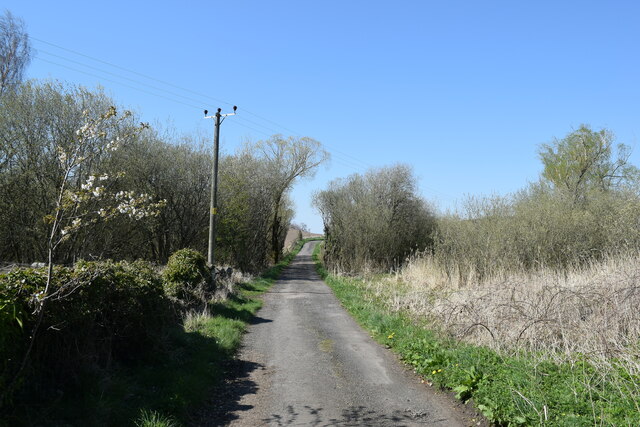
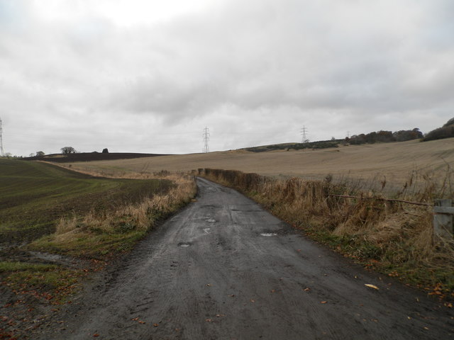
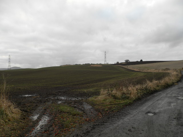
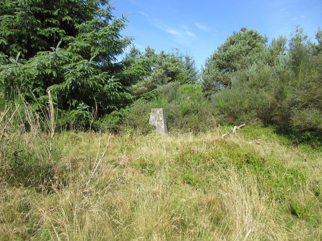
Black Hill is a prominent hill located in the region of Fife, Scotland. Standing at an elevation of 522 meters (1,713 feet), it is recognized as one of the highest hills in the area. The hill lies within the Lomond Hills Regional Park, a picturesque landscape known for its rolling hills, rugged terrain, and stunning panoramic views.
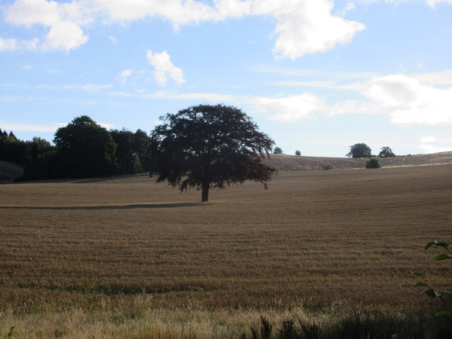
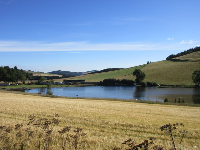
Black Hill is a popular destination for hikers and outdoor enthusiasts due to its accessibility and captivating scenery. The ascent to the summit is relatively moderate, with well-defined paths leading to the top. From there, visitors are rewarded with breathtaking vistas of the surrounding countryside, including the nearby Lomond Hills and the Firth of Tay.
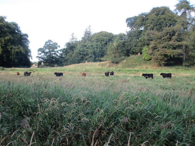
The hill is predominantly covered in heather, creating a beautiful purple carpet during the summer months. Its slopes are also home to a variety of wildlife, including red grouse, mountain hares, and numerous bird species, making it a haven for nature lovers and birdwatchers.
In addition to its natural beauty, Black Hill also has historical significance. The remains of an Iron Age hillfort can be found near the summit, serving as a reminder of the area's ancient past. These archaeological remains add an intriguing element to the hill, attracting those interested in Scotland's rich heritage.
Overall, Black Hill in Fife offers a captivating blend of natural beauty, outdoor activities, and historical significance. Its accessibility, stunning views, and diverse wildlife make it a must-visit destination for both locals and tourists alike.
If you have any feedback on the listing, please let us know in the comments section below.
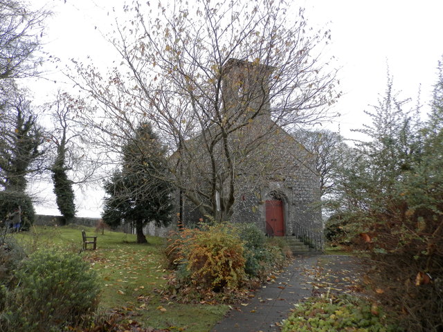
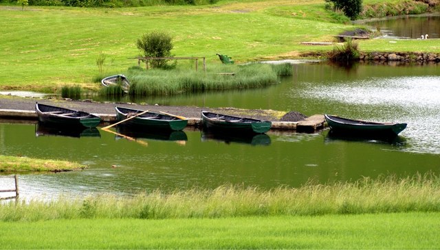
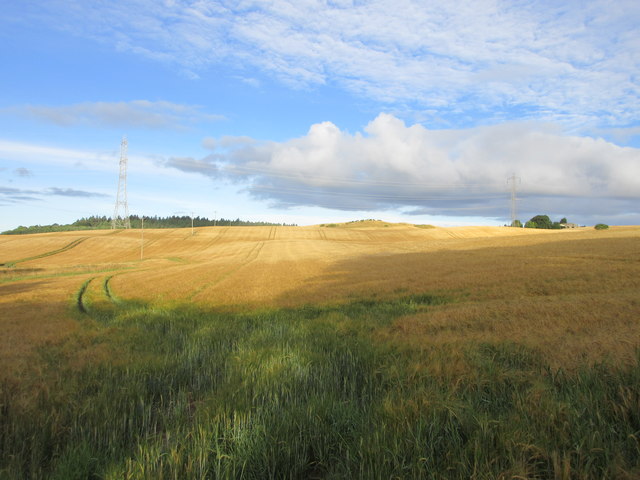
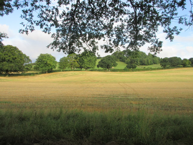
Black Hill Images
Images are sourced within 2km of 56.32131/-3.2183558 or Grid Reference NO2414. Thanks to Geograph Open Source API. All images are credited.

Black Hill is located at Grid Ref: NO2414 (Lat: 56.32131, Lng: -3.2183558)
Unitary Authority: Fife
Police Authority: Fife
What 3 Words
///curls.heads.capillary. Near Auchtermuchty, Fife
Nearby Locations
Related Wikis

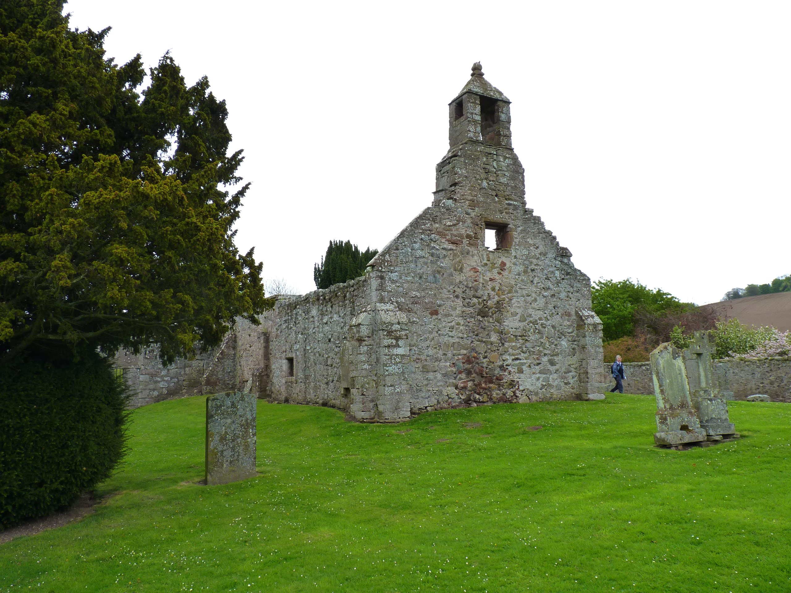
Abdie stone
The Abdie stone is a Class I Pictish stone that stands in Abdie Churchyard, Lindores, Fife, Scotland. == Location == The stone originally stood on the...
Abdie
Abdie is a parish in north-west Fife, Scotland, lying on the south shore of the Firth of Tay on the eastern outskirts of Newburgh, extending about 3 miles...
Lindores (E&NR) railway station
Lindores (E&NR) railway station was a temporary terminus that served the village of Lindores, Fife, Scotland in 1847 on the Edinburgh and Northern Railway...
Glenburnie railway station
Glenburnie railway station was a temporary terminus that served the area of Glenburnie, Fife, Scotland from 1847 to 1848 on the Edinburgh and Northern...

Lindores Loch
Lindores Loch is a freshwater loch, situated in North Fife in the Parish of Abdie, in the Central Belt of Scotland. The Loch has for many years been used...
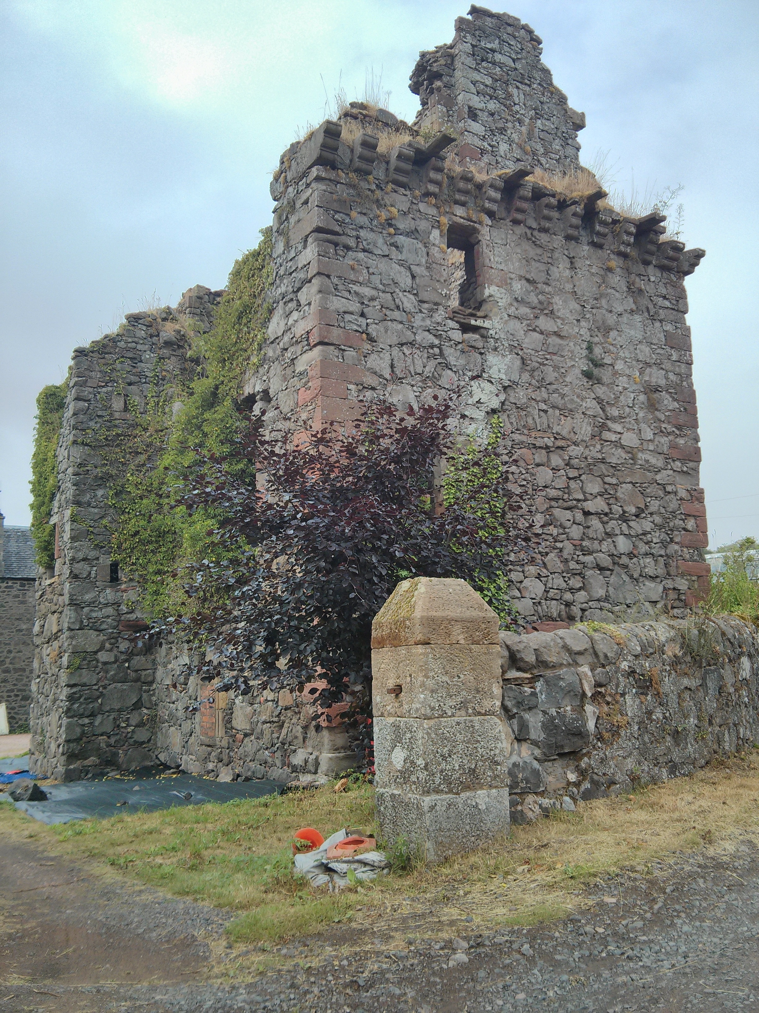
Denmylne Castle
Denmylne Castle is a ruined 16th-century tower house, about 1 mile (1.6 km) south east of Newburgh, Fife, Fife, Scotland, and 1 mile (1.6 km) north west...
Lindores
Lindores is a small village in Fife, Scotland, in the parish of Abdie, about 2 miles south-east of Newburgh. It is situated on the north-east shore of...

MacDuff's Cross
MacDuff's Cross, also known as the Cross of MacDuff or Ninewells, is the remains of an ancient white sandstone monument, located on a historic site between...
Nearby Amenities
Located within 500m of 56.32131,-3.2183558Have you been to Black Hill?
Leave your review of Black Hill below (or comments, questions and feedback).