An Creagan

Hill, Mountain in Aberdeenshire

Scotland

An Creagan

Passing Place Sign on B976 near Crathie
Passing Place Sign on B976 near Crathie Credit: Alex Passmore

An Creagan is a picturesque hill located in Aberdeenshire, Scotland. Standing at an impressive height of 1,243 feet (379 meters), it offers breathtaking views of the surrounding landscapes. The hill is part of the Cairngorms National Park, known for its stunning natural beauty and diverse wildlife.

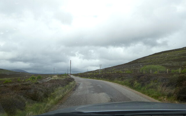
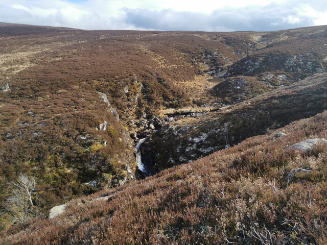
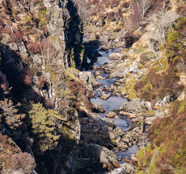
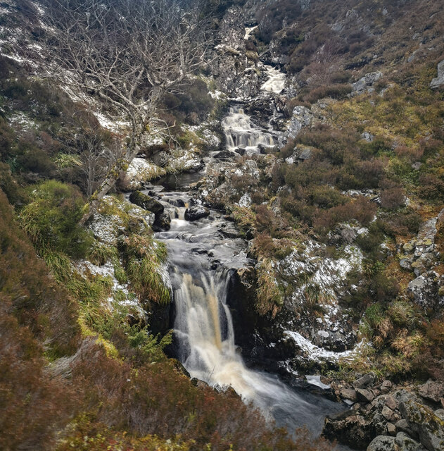
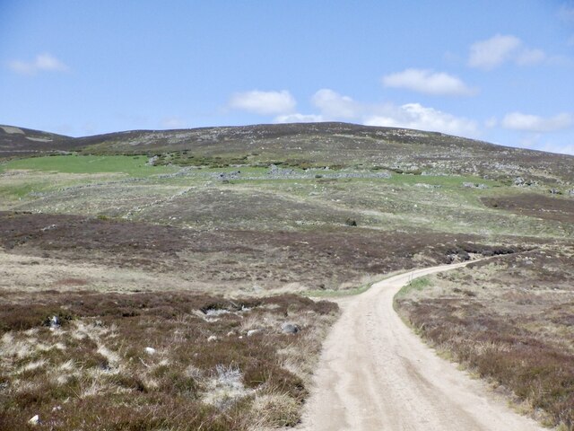
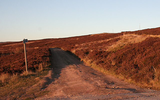
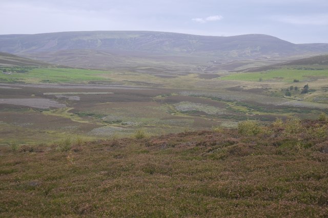
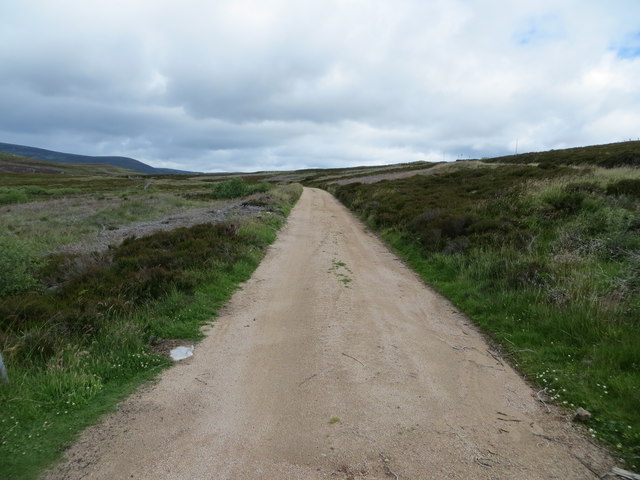
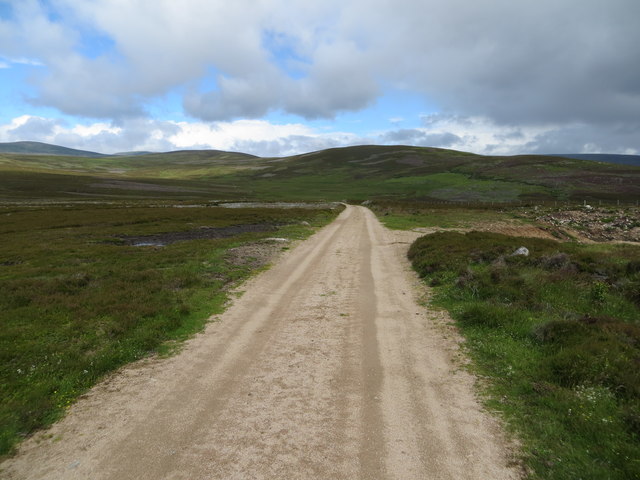
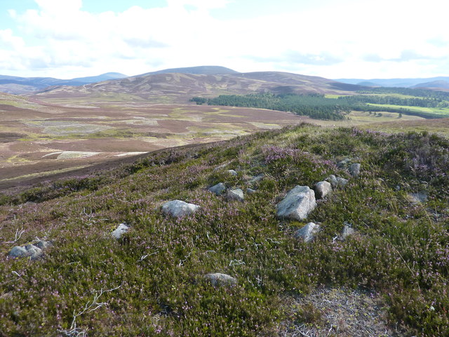
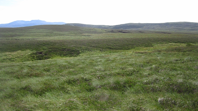
An Creagan is characterized by its rugged terrain, covered in heather and grass. It is a popular destination for hikers and nature enthusiasts, offering a variety of trails to explore. The hill is relatively accessible, with a well-maintained path leading to the summit.

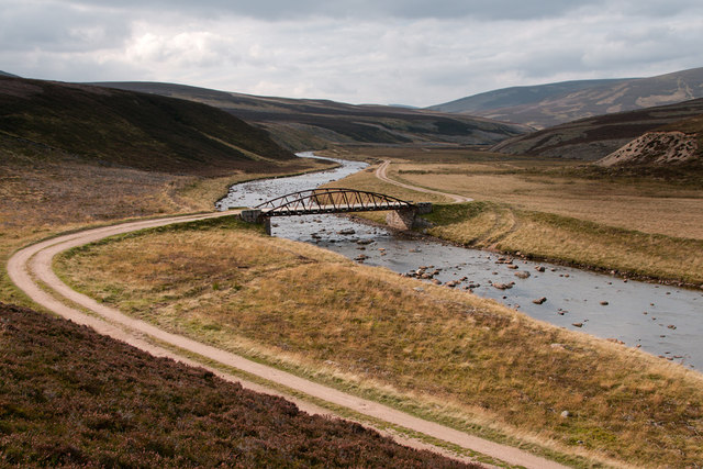
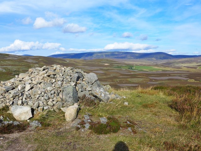
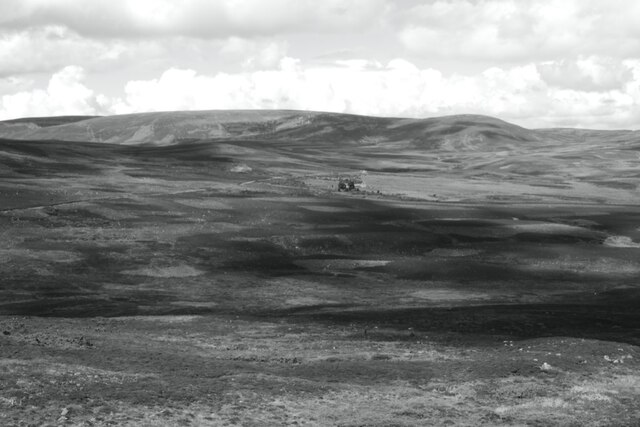
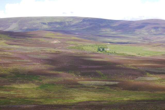
The summit of An Creagan provides panoramic views of the surrounding area, including the nearby mountains and glens. On clear days, it is possible to see as far as the North Sea coastline. The hill also offers a peaceful retreat, away from the hustle and bustle of city life, making it a perfect spot for relaxation and contemplation.

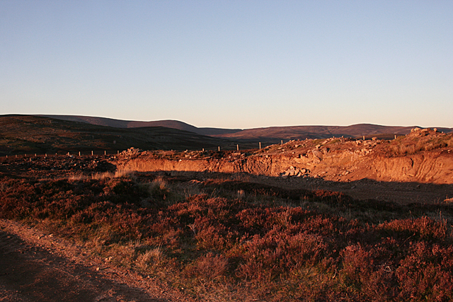
The area surrounding An Creagan is rich in history and culture. The hill is located near several ancient sites, including stone circles and cairns, which are evidence of its long-standing human habitation. Visitors can immerse themselves in the history of the area while exploring the hill and its surroundings.

Overall, An Creagan is a must-visit destination for nature lovers and those seeking a tranquil escape in the heart of Aberdeenshire. Its stunning views and cultural significance make it a truly remarkable place to explore and appreciate the beauty of the Scottish countryside.

If you have any feedback on the listing, please let us know in the comments section below.
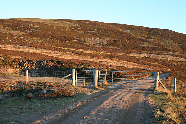
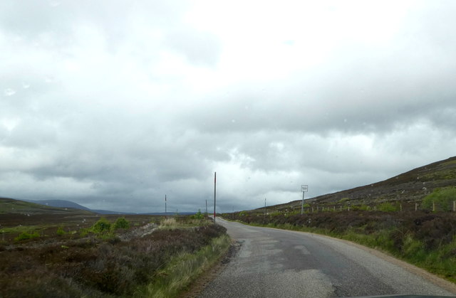
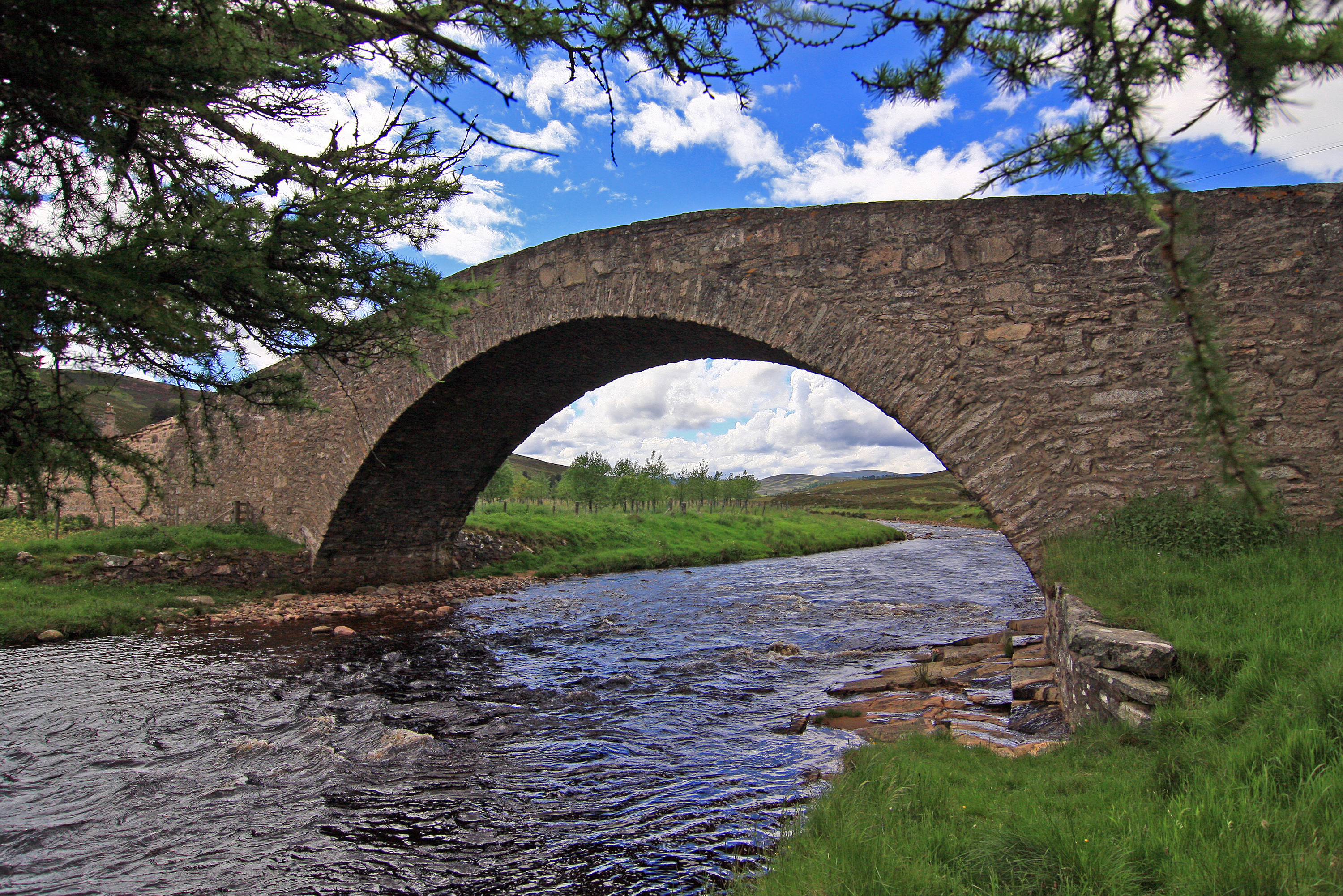
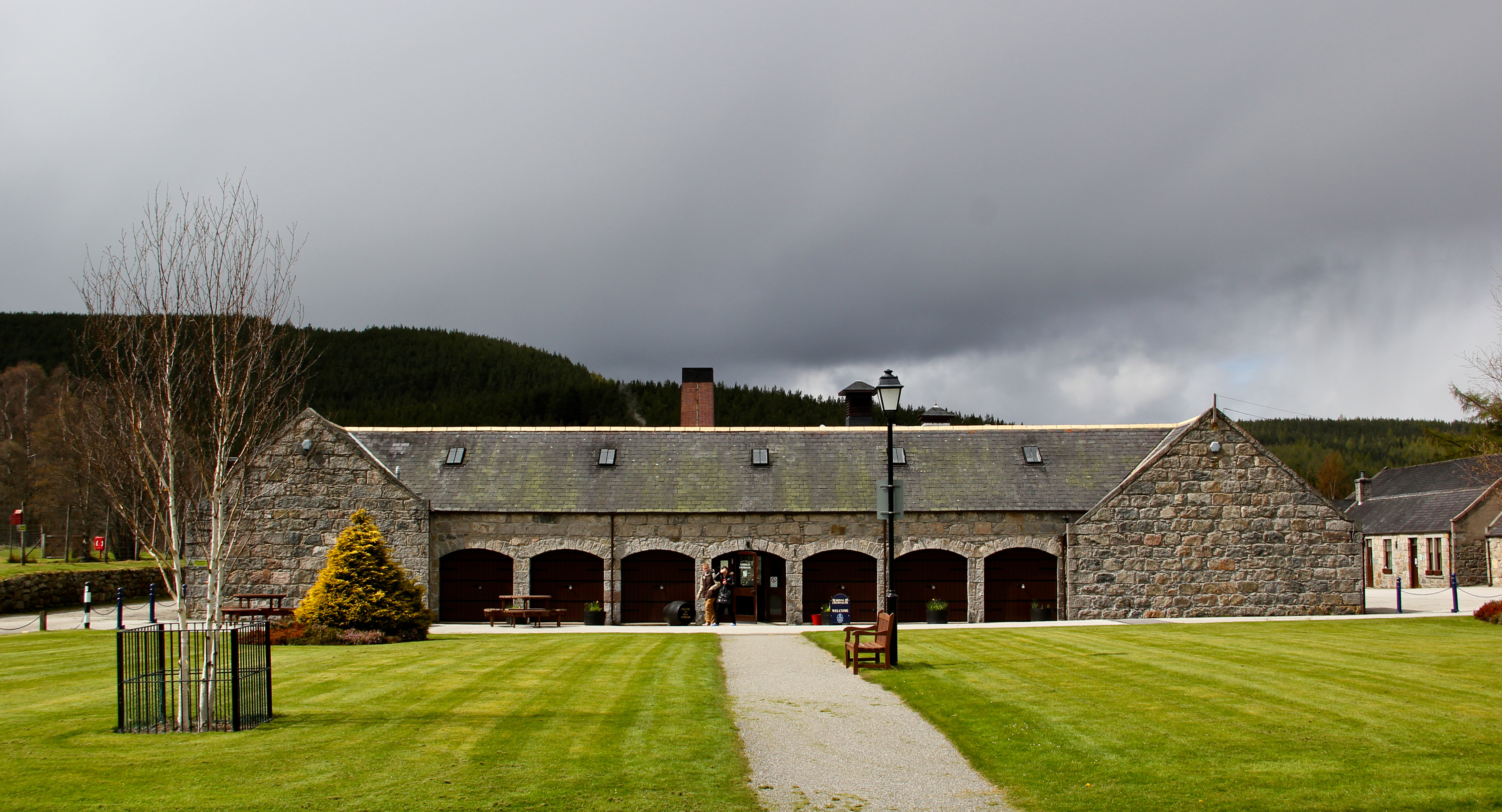
An Creagan Images

Images are sourced within 2km of 57.080038/-3.244892 or Grid Reference NO2499. Thanks to Geograph Open Source API. All images are credited.

Passing Place Sign on B976 near Crathie
Duchrie Burn gully waterfall The Duchrie burn passes through a gorge cascading down a number of waterfalls, and has steep sheer sides, except a short section above the waterfall where it can be crossed with care. Most people would be best served crossing much further upstream before the stream enters the gorge.
Duchrie Burn gully waterfall
The Duchrie burn passes through a gorge cascading down a number of waterfalls, and has steep sheer sides, except a short section above the waterfall where it can be crossed with care. Most people would be best served crossing much further upstream before the stream enters the gorge.
Duchrie Burn gorge The upper Duchrie burn has a section contained within a small gorge where it cascades through a series of rocky pools and waterfalls
Duchrie Burn gorge
The upper Duchrie burn has a section contained within a small gorge where it cascades through a series of rocky pools and waterfalls
Duchrie Burn waterfalls and pools The Duchrie Burn passing through pools and waterfalls in a section of steep-sided gully
Duchrie Burn waterfalls and pools
The Duchrie Burn passing through pools and waterfalls in a section of steep-sided gully
Road up Glen Gairn The main access road to upper Glen Gairn with an alternative route to the B976. The stones on the hill are the ruins of Balfentaig which was mapped as a ruin by the Ordnance Survey in 1869.
Road up Glen Gairn
The main access road to upper Glen Gairn with an alternative route to the B976. The stones on the hill are the ruins of Balfentaig which was mapped as a ruin by the Ordnance Survey in 1869.
The bridge at Daldownie The bridge was constructed to carry the railway across the River Gairn on its way west from Ballater.  When it was decided that the railway should go no further than Ballater, the bridge was moved here - nine miles upstream.
The bridge at Daldownie
The bridge was constructed to carry the railway across the River Gairn on its way west from Ballater. When it was decided that the railway should go no further than Ballater, the bridge was moved here - nine miles upstream.
Track to Tomintoul The sign tells me that the track goes to Tomintoul via Loch Builg. On the right is the road from Crathie to Gairnshiel. The red colour is from the setting sun.
Track to Tomintoul
The sign tells me that the track goes to Tomintoul via Loch Builg. On the right is the road from Crathie to Gairnshiel. The red colour is from the setting sun.
Excavation by the Track It looks as if the glacial deposits just beneath the heather here have been quarried, perhaps for building moorland tracks. The excavation is highlighted by the setting sun.
Excavation by the Track
It looks as if the glacial deposits just beneath the heather here have been quarried, perhaps for building moorland tracks. The excavation is highlighted by the setting sun.
Gate on the Track The gate seems to be part of a newish fence line roughly parallel to the road. The smaller gate allows pedestrian access.
Gate on the Track
The gate seems to be part of a newish fence line roughly parallel to the road. The smaller gate allows pedestrian access.
Moorland, Glen Gairn There are signs of woodland regeneration in the foreground, but the birches will probably fall foul of muirburning. View up Glen Gairn and its abandoned farms like Blairglass towards The Broon Coo.
Moorland, Glen Gairn
There are signs of woodland regeneration in the foreground, but the birches will probably fall foul of muirburning. View up Glen Gairn and its abandoned farms like Blairglass towards The Broon Coo.
Cairn by the Old Military Road
The Old Military Road B976 Snow poles mark the edge of this old moorland road and a sign marks a convenient Passing Place.
The Old Military Road B976
Snow poles mark the edge of this old moorland road and a sign marks a convenient Passing Place.
Moorland track and footpath to Tomintoul Looking northward
Moorland track and footpath to Tomintoul
Looking northward
Moorland track and footpath to Tomintoul Looking north-westward.
Moorland track and footpath to Tomintoul
Looking north-westward.
Broon Coo view
Broon Coo view
Blairglass
Blairglass
From the unnamed 514m shoulder, looking across the moorland surrounding the Crathie Burn The low hill in the middle distance is An Creagan.
From the unnamed 514m shoulder, looking across the moorland surrounding the Crathie Burn
The low hill in the middle distance is An Creagan.
Monaltrie Moss A boggy hollow on the moors east of Culardoch.
Monaltrie Moss
A boggy hollow on the moors east of Culardoch.
Show me another place!

An Creagan is located at Grid Ref: NO2499 (Lat: 57.080038, Lng: -3.244892)

Unitary Authority: Aberdeenshire

Police Authority: North East

What 3 Words

///printout.sleepy.croaking. Near Ballater, Aberdeenshire

Nearby Locations

An Creagan

Related Wikis

Nearby Amenities

Located within 500m of 57.080038,-3.244892
An Craegan
Ele: 570
Natural: peak
Lat/Long: 57.0800778/-3.2444018
The data included in this document is from www.openstreetmap.org. The data is made available under ODbL.

Have you been to An Creagan?

Leave your review of An Creagan below (or comments, questions and feedback).