Bailey Hill
Hill, Mountain in Radnorshire
Wales
Bailey Hill

Bailey Hill is a prominent hill located in Radnorshire, Wales. Standing at an elevation of approximately 1,265 feet (386 meters), it offers stunning panoramic views of the surrounding countryside. The hill is situated near the town of Knighton, and its distinctive shape makes it easily recognizable from miles away.
Bailey Hill is known for its historical significance, dating back to the Iron Age. The hillfort on its summit is believed to have been constructed around 600 BC, serving as a defensive stronghold for the local tribes. The remains of the hillfort, including earthworks and ditches, can still be seen today, attracting history enthusiasts and archaeologists alike.
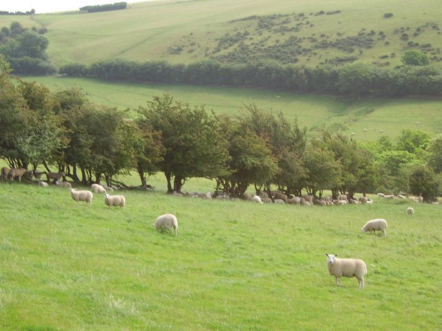
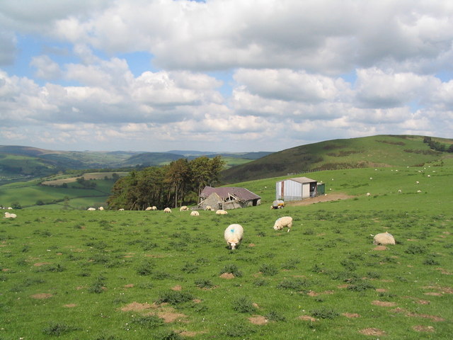
In addition to its historical importance, Bailey Hill is also a popular destination for outdoor enthusiasts and nature lovers. The hill is covered in lush green vegetation, offering picturesque walking trails and hiking routes for visitors to explore. The surrounding area is rich in wildlife, with a variety of bird species and small mammals inhabiting the hillside.
Access to Bailey Hill is relatively easy, with a well-maintained footpath leading to the summit. Once at the top, visitors are rewarded with breathtaking views of the Radnorshire countryside, including rolling hills, farmland, and distant mountains.
Overall, Bailey Hill is a captivating destination that seamlessly combines its historical significance with its natural beauty, making it a must-visit location for anyone exploring Radnorshire.
If you have any feedback on the listing, please let us know in the comments section below.
Bailey Hill Images
Images are sourced within 2km of 52.34113/-3.1134409 or Grid Reference SO2472. Thanks to Geograph Open Source API. All images are credited.


Bailey Hill is located at Grid Ref: SO2472 (Lat: 52.34113, Lng: -3.1134409)
Unitary Authority: Powys
Police Authority: Dyfed Powys
What 3 Words
///confetti.ghosts.winks. Near Knighton, Powys
Nearby Locations
Related Wikis
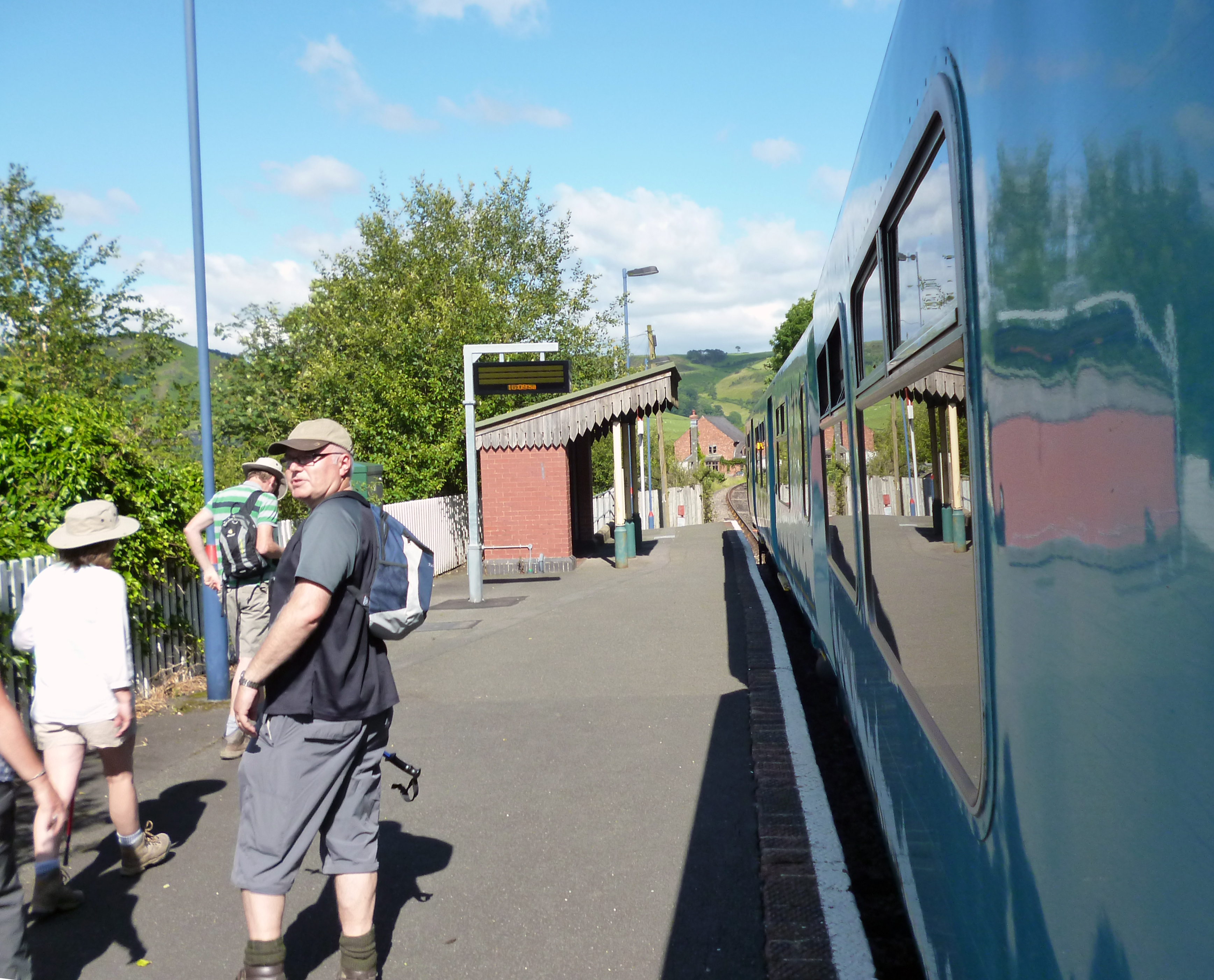
Knucklas railway station
Knucklas railway station serves the village of Knucklas, Powys, Wales, 34+3⁄4 miles (55.9 km) south west of Shrewsbury. This railway station is located...

Knucklas
Knucklas (Welsh: Cnwclas, meaning "green hillock") is a village in Powys, Wales, previously Radnorshire. It lies in the upper valley of the River Teme...

Llangunllo
Llangunllo (sometimes Llangynllo) is a village and community in central Powys (formerly in Radnorshire), Wales, located about 5 miles west of Knighton...
Skyborry Green
Skyborry Green is a hamlet consisting of a small number of houses and a farm in Shropshire, England, 2 miles (3 km) northwest of Knighton. The hamlet population...
Nearby Amenities
Located within 500m of 52.34113,-3.1134409Have you been to Bailey Hill?
Leave your review of Bailey Hill below (or comments, questions and feedback).