Black Hillock
Hill, Mountain in Aberdeenshire
Scotland
Black Hillock

Black Hillock is a prominent hill located in Aberdeenshire, Scotland. Rising to an elevation of approximately 541 meters (1,775 feet), it sits within the picturesque landscape of the Cairngorms National Park. The hill is situated approximately 20 kilometers (12 miles) southeast of the town of Ballater.
Known for its rugged and striking appearance, Black Hillock is primarily composed of granite, which gives it a distinct dark coloration. The hill is characterized by its steep slopes and rocky terrain, making it a popular destination for hikers, climbers, and outdoor enthusiasts seeking a challenging ascent. On a clear day, the summit offers breathtaking panoramic views of the surrounding countryside, including nearby mountain peaks and the rolling hills of the Cairngorms.
Black Hillock is also notable for its rich wildlife and diverse flora. The hill is home to a variety of plant species, including heather, blaeberry, and bilberry, which carpet the lower slopes. This, in turn, attracts various bird species such as red grouse and golden eagles. The surrounding area is also inhabited by red deer and mountain hares, adding to the natural beauty and biodiversity of the region.
Due to its accessible location and striking features, Black Hillock has become a popular destination for outdoor activities, including hillwalking, birdwatching, and photography. The hill offers a challenging yet rewarding experience for nature enthusiasts, providing a glimpse into the breathtaking landscapes of Aberdeenshire's countryside.
If you have any feedback on the listing, please let us know in the comments section below.
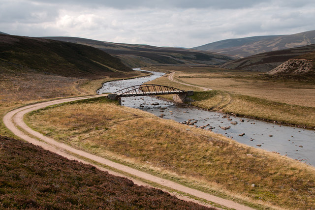
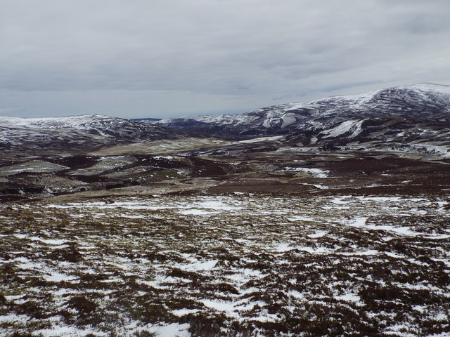
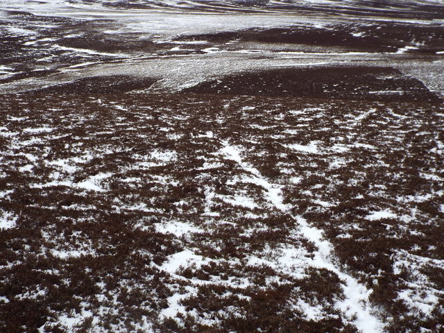
Black Hillock Images
Images are sourced within 2km of 57.103789/-3.2523744 or Grid Reference NJ2402. Thanks to Geograph Open Source API. All images are credited.


Black Hillock is located at Grid Ref: NJ2402 (Lat: 57.103789, Lng: -3.2523744)
Unitary Authority: Aberdeenshire
Police Authority: North East
What 3 Words
///octagon.landlords.verse. Near Ballater, Aberdeenshire
Nearby Locations
Related Wikis
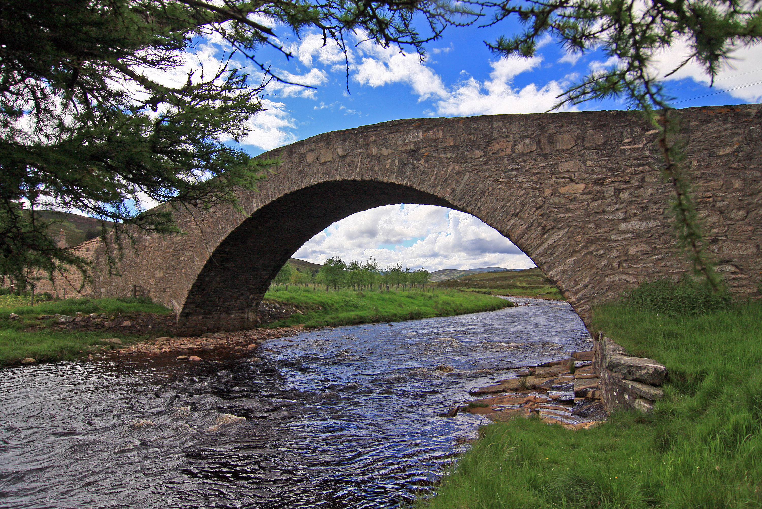
Gairnshiel Bridge
Gairnshiel Bridge is a road bridge that crosses the River Gairn in Aberdeenshire, Scotland. The bridge was built the mid-18th century. It is Category A...

Culardoch
Culardoch (900 m) is a mountain in the Cairngorms of Scotland, located northeast of Braemar in Aberdeenshire. A smooth and heathery peak southeast of the...

Delnadamph Lodge
Delnadamph Lodge was located on the Balmoral Estate about 8 miles (13 km) north of the castle. The lodge and its estate lands were bought by Queen Elizabeth...

Corgarff Castle
Corgarff Castle is located slightly west of the village of Corgarff, in Aberdeenshire, north-east Scotland. It stands by the Lecht road, which crosses...
Nearby Amenities
Located within 500m of 57.103789,-3.2523744Have you been to Black Hillock?
Leave your review of Black Hillock below (or comments, questions and feedback).