Cairn Muldonich
Hill, Mountain in Banffshire
Scotland
Cairn Muldonich
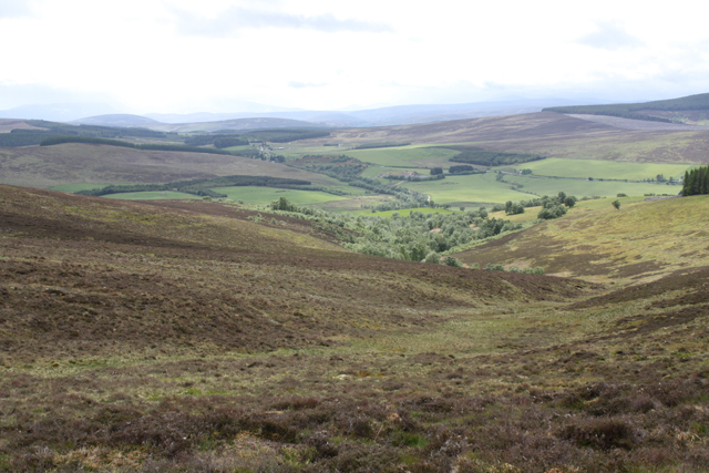
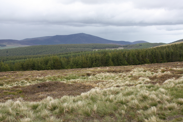
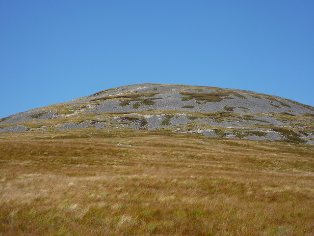
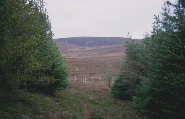
Cairn Muldonich is a prominent hill located in the county of Banffshire, Scotland. Situated in the picturesque Cairngorms National Park, it stands at an elevation of 862 meters (2,828 feet) above sea level. The hill is part of the Grampian Mountains range and offers breathtaking panoramic views of the surrounding landscape.
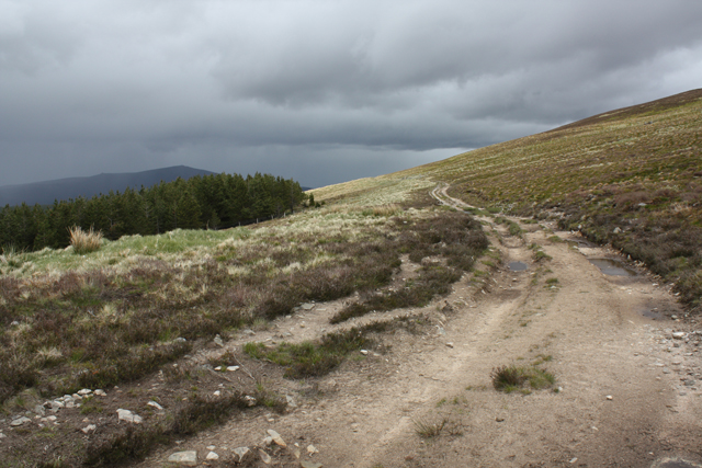
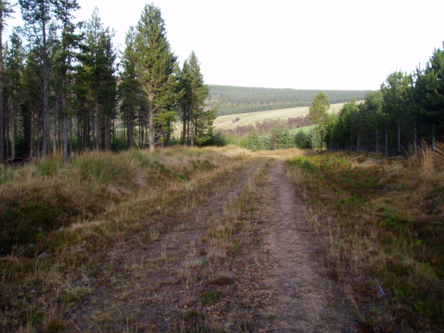
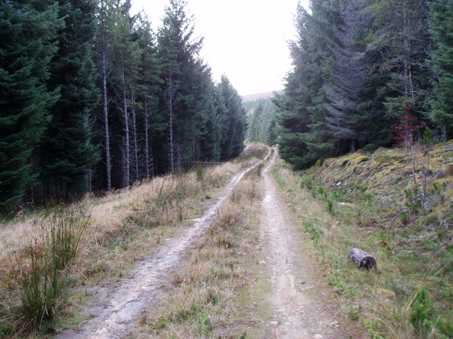
The ascent to the summit of Cairn Muldonich is a popular choice for hikers and outdoor enthusiasts. The well-defined paths and trails make it accessible to both experienced climbers and beginners. The hike to the top is moderately challenging, with some steep sections and rocky terrain, but the effort is rewarded by the stunning vistas of the Cairngorms and the nearby peaks.
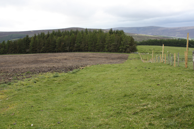
The hill is known for its diverse flora and fauna, showcasing a variety of plant species such as heather, mosses, and wildflowers. Wildlife enthusiasts may be fortunate enough to spot red deer, mountain hares, and birds of prey, including golden eagles soaring above.
Cairn Muldonich is surrounded by other notable landmarks, including the nearby Munro of Ben Rinnes and the picturesque village of Dufftown, which is famous for its whisky distilleries. The hill is also located near the River Spey, providing opportunities for fishing and water activities.
Overall, Cairn Muldonich offers visitors a chance to immerse themselves in the natural beauty of the Scottish Highlands, with its breathtaking views, diverse ecosystems, and rich wildlife.
If you have any feedback on the listing, please let us know in the comments section below.
Cairn Muldonich Images
Images are sourced within 2km of 57.329607/-3.2630393 or Grid Reference NJ2427. Thanks to Geograph Open Source API. All images are credited.


Cairn Muldonich is located at Grid Ref: NJ2427 (Lat: 57.329607, Lng: -3.2630393)
Unitary Authority: Moray
Police Authority: North East
What 3 Words
///fools.dare.rescue. Near Dufftown, Moray
Nearby Locations
Related Wikis

Battle of Glenlivet
The Battle of Glenlivet was a Scottish clan battle fought on 3 October 1594 near Glenlivet, Moray, Scotland. It was fought between Protestant forces loyal...

Church of The Incarnation, Tombae
The Church of The Incarnation was built between 1827 and 1829 as a Roman Catholic church, under the patronage of the Gordon family, in Banffshire, Scotland...

Tamnavulin distillery
Tamnavulin distillery is a producer of single malt Scotch whisky that was founded in 1966. The distillery is operated by Whyte & Mackay, which Philippines...

Auchbreck
Auchbreck (Scottish Gaelic: An t-Achadh Breac, meaning the speckled field) is a village in Moray, Scotland.

County of Moray
Moray; (Scottish Gaelic: Moireibh [ˈmɤɾʲəv]) or Morayshire, called Elginshire until 1919, is a historic county, registration county and lieutenancy area...
Blairfindy Castle
Blairfindy Castle is an L-plan tower house, dating from the 16th century, around 6.5 miles (10.5 km) north of Tomintoul, and west of the River Livet....

Glenlivet
Glenlivet (Scottish Gaelic: Gleann Lìobhait) is the glen in the Scottish Highlands through which the River Livet flows. The river rises high in the Ladder...

The Glenlivet distillery
The Glenlivet distillery is a distillery near Ballindalloch in Moray, Scotland that produces single malt Scotch whisky. It is the oldest legal distillery...
Have you been to Cairn Muldonich?
Leave your review of Cairn Muldonich below (or comments, questions and feedback).