Craig Maud

Hill, Mountain in Angus

Scotland

Craig Maud

Waterfall high in Corrie Fee
Waterfall high in Corrie Fee Credit: Steven Brown

Craig Maud is a prominent hill located in the Angus region of Scotland. Standing at an elevation of approximately 740 meters (2,428 feet), it is classified as a Corbett, which refers to Scottish hills between 2,500 and 3,000 feet in height. Craig Maud is situated in the southern part of the Cairngorms National Park, near the village of Kirkton of Glenisla.

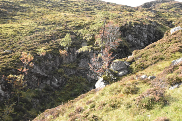
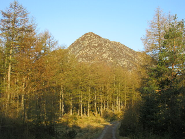
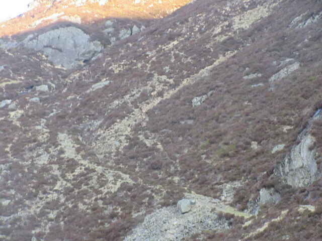
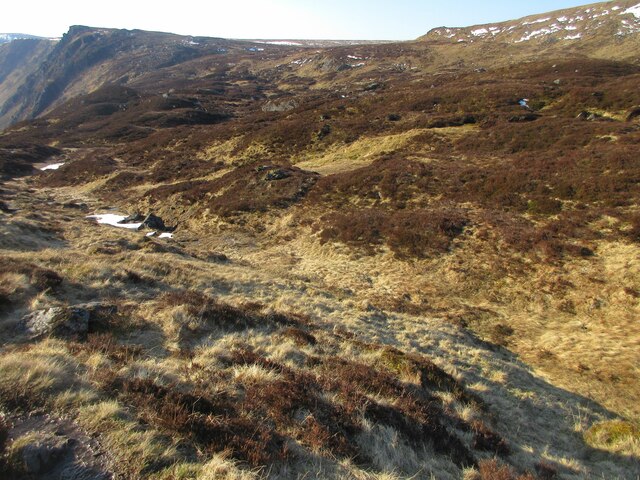
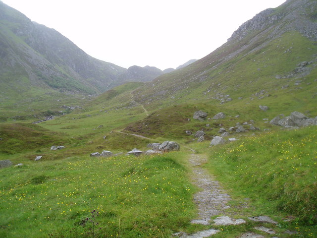
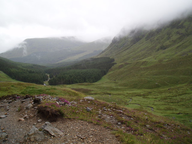
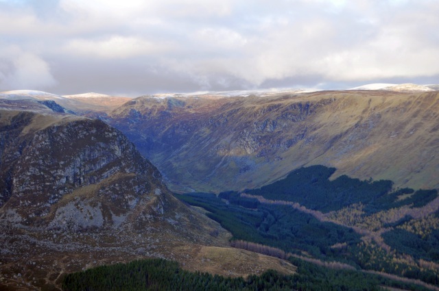
The hill is characterized by its distinctive steep slopes and rugged, rocky terrain. It is primarily composed of granite, which lends it a unique appearance and provides a challenging climb for outdoor enthusiasts. Craig Maud offers stunning panoramic views of the surrounding landscape, including the picturesque Glen Isla and the expansive Grampian Mountains.

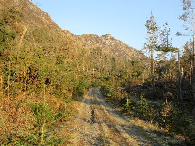
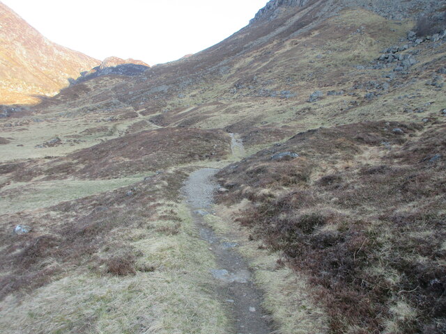
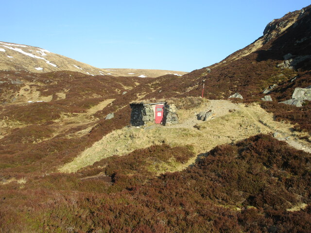
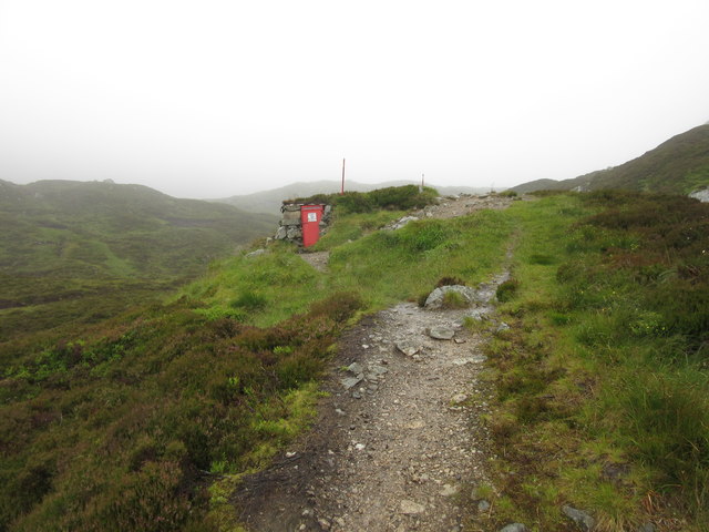
The ascent to the summit of Craig Maud is a rewarding experience for hikers and mountaineers, although it requires a moderate level of fitness and proper equipment. The hill is accessible via various routes, with the most popular ones starting from Glen Isla and Glen Prosen. These routes typically involve traversing heather-covered slopes, crossing streams, and navigating through rocky sections.

Craig Maud is also known for its diverse flora and fauna. The hillside supports a range of plant species, including heather, grasses, and mosses, while various bird species can be spotted in the area. It is not uncommon to encounter mountain hares, red deer, and other wildlife during a trek up the hill.

Overall, Craig Maud offers outdoor enthusiasts a challenging and rewarding experience, with its scenic beauty and unique geological features making it a popular destination for hillwalkers and climbers in the Angus region.

If you have any feedback on the listing, please let us know in the comments section below.
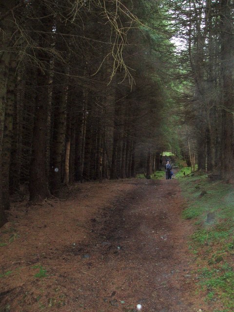
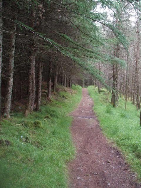
Craig Maud Images

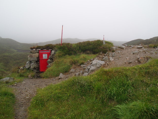
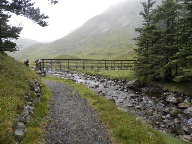
Images are sourced within 2km of 56.875628/-3.2507062 or Grid Reference NO2376. Thanks to Geograph Open Source API. All images are credited.

Waterfall high in Corrie Fee
Lone tree hanging on Jocks Road
Lone tree hanging on
Jocks Road
Craig Rennet Craig Rennet viewed from the east on the Dounault Road in Glen Doll.
Craig Rennet
Craig Rennet viewed from the east on the Dounault Road in Glen Doll.
Dounalt Road The Dounalt Road in Glen Doll with Craig Maud in the distance, used as an alternative route to the storm damaged forest section of Jock's Road.
Dounalt Road
The Dounalt Road in Glen Doll with Craig Maud in the distance, used as an alternative route to the storm damaged forest section of Jock's Road.
Jock's Road The beginning of Jock's Road beyond the forest section in Glen Doll.
Jock's Road
The beginning of Jock's Road beyond the forest section in Glen Doll.
Camouflaged deer Six deer in the centre of the picture blending into the hillside above Jock's Road.
Camouflaged deer
Six deer in the centre of the picture blending into the hillside above Jock's Road.
Davy's Bourach The shelter on Jock's Road at the top of Glen Doll.
Davy's Bourach
The shelter on Jock's Road at the top of Glen Doll.
Heather-clad knolls Heathery knolls at the top of Jock's Road above Glen Doll.
Heather-clad knolls
Heathery knolls at the top of Jock's Road above Glen Doll.
Upper reach of White Water White Water heading northwards in the valley between Tom Buidhe and Cairn Lunkard.
Upper reach of White Water
White Water heading northwards in the valley between Tom Buidhe and Cairn Lunkard.
Davy Glen's Bourach, Glen Doll This shelter was constructed in 1966 by Davy Glen following a tragedy in 1959 when four hikers died near this spot.
Davy Glen's Bourach, Glen Doll
This shelter was constructed in 1966 by Davy Glen following a tragedy in 1959 when four hikers died near this spot.
Forest track on Jock's Road in Glen Doll Forest
Jock's Road, Glen Doll
Jock's Road above Glen Doll Forest
Davy Glen's Burach on Jock's Road The shelter was constructed by the late Davy Glen a dry stane dyker of renown.
This summer shot can be compared with an earlier winter shot. 
See <a href="https://www.geograph.org.uk/photo/2880152">NO2377 : Davy's Burach on Jock's Road</a> 
For more on Davy Glen see <span class="nowrap"><a title="http://www.tealingvillage.org/davieglen.html" rel="nofollow ugc noopener" href="http://www.tealingvillage.org/davieglen.html">Link</a><img style="margin-left:2px;" alt="External link" title="External link - shift click to open in new window" src="https://s1.geograph.org.uk/img/external.png" width="10" height="10"/></span>
Davy Glen's Burach on Jock's Road
The shelter was constructed by the late Davy Glen a dry stane dyker of renown. This summer shot can be compared with an earlier winter shot. See NO2377 : Davy's Burach on Jock's Road For more on Davy Glen see LinkExternal link
Footbridge over the White Water, Glendoll
The Mounth Looking north-east from the Mayar plateau towards The Mounth
The Mounth
Looking north-east from the Mayar plateau towards The Mounth
Craig Rennet and Glen Doll Craig Rennet on the left with Glen Doll and White Water disappearing behind it. Jock's Road leads north-west out of the glen and over and down to Glen Callater and Braemar.
Craig Rennet and Glen Doll
Craig Rennet on the left with Glen Doll and White Water disappearing behind it. Jock's Road leads north-west out of the glen and over and down to Glen Callater and Braemar.
Show me another place!

Craig Maud is located at Grid Ref: NO2376 (Lat: 56.875628, Lng: -3.2507062)

Unitary Authority: Angus

Police Authority: Tayside

What 3 Words

///prowling.nothing.joins. Near Inverey, Aberdeenshire

Nearby Locations

Craig Maud

Related Wikis

Corrie Fee

Corrie Fee is a glacier-carved corrie situated at the head of Glen Clova in the Angus Glens of Scotland. It forms part of Corrie Fee National Nature Reserve...

Glen Doll

Glen Doll, also sometimes spelt Glendoll, lies within the Cairngorms National Park, Scotland, at the top of Glen Clova, in an area of steep hills, corries...

Caenlochan

Caenlochan (Scottish Gaelic: Cadha an Lochain) is a glen in the Grampian Mountains of Scotland. Under EU Natura 2000 legislation it is a Special Area of...

Mayar (mountain)

Mayar is a mountain in the Grampians, in Angus, Scotland. It is usually climbed together with its near neighbour, Driesh. At an elevation of 928 m, it...

Have you been to Craig Maud?

Leave your review of Craig Maud below (or comments, questions and feedback).