Castle How
Hill, Mountain in Cumberland Copeland
England
Castle How

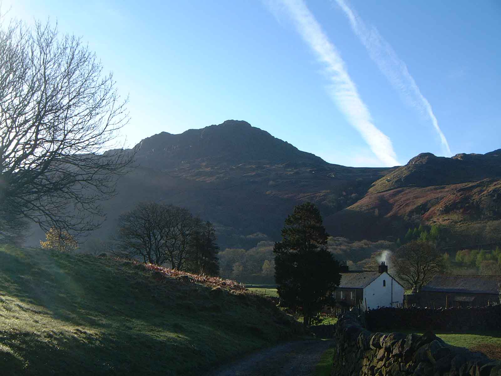
Castle How is a prominent hill located in the county of Cumberland, England. Situated in the Lake District National Park, it stands at an elevation of 664 meters (2,178 feet) above sea level. The hill is known for its distinctive shape, resembling a castle when viewed from certain angles, hence its name.
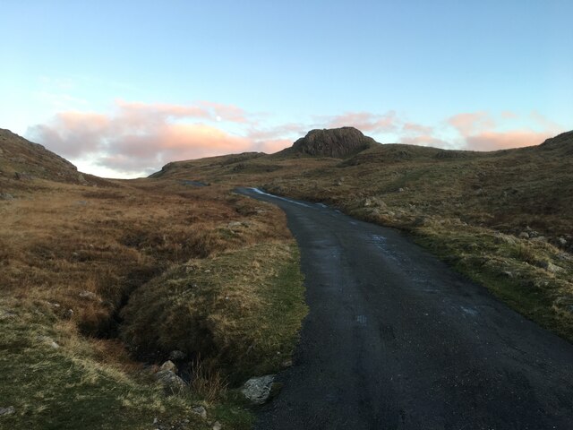
Castle How offers breathtaking panoramic views of the surrounding landscape, making it a popular destination for hikers and nature enthusiasts. Its position within the Lake District National Park provides visitors with an opportunity to appreciate the picturesque beauty of the region, including the nearby Derwent Water and Borrowdale Valley.
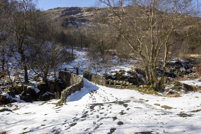
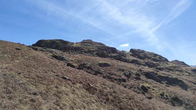
The hill is accessible by a number of footpaths, allowing visitors to explore its slopes and enjoy the diverse flora and fauna that thrive in this area. The terrain is mostly rocky, with some grassy patches, and is suitable for both experienced hikers and those looking for a more leisurely stroll.
Castle How has a rich historical significance, with evidence of human activity in the area dating back to prehistoric times. It is believed that the hill was once used as a defensive site due to its strategic location. Today, remnants of an ancient fortification can still be seen, adding to the hill's allure.
Whether it is hiking, photography, or simply soaking in the natural beauty, Castle How offers visitors a memorable experience in the heart of the Lake District.
If you have any feedback on the listing, please let us know in the comments section below.
Castle How Images
Images are sourced within 2km of 54.394275/-3.1760811 or Grid Reference NY2300. Thanks to Geograph Open Source API. All images are credited.


Castle How is located at Grid Ref: NY2300 (Lat: 54.394275, Lng: -3.1760811)
Administrative County: Cumbria
District: Copeland
Police Authority: Cumbria
What 3 Words
///loaf.fights.extent. Near Ambleside, Cumbria
Nearby Locations
Related Wikis

Birks Bridge
Birks Bridge is a traditional stone-built bridge over the River Duddon in the English Lake District, in Dunnerdale-with-Seathwaite, Cumbria, standing...

Cockley Beck
Cockley Beck is a small hamlet, situated in the Duddon Valley in Cumbria, England. Historically, the hamlet was part of Lancashire. Located today within...

Hardknott Pass
Hardknott Pass is a hill pass between Eskdale and the Duddon Valley in the Lake District National Park, Cumbria, England. The tarmac-surfaced road, which...

Hard Knott
Hard Knott is a fell in the English Lake District, at the head of Eskdale. == Geology == Rhyolitic lava-like tuff of the Bad Step Tuff forms the summit...
Harter Fell (Eskdale)
Harter Fell is a fell in the western part of the English Lake District, located between the Eskdale and Duddon valleys. Its height is 653 metres (2,142...

Hardknott Roman Fort
Hardknott Roman Fort is an archeological site, the remains of the Roman fort Mediobogdum, located on the western side of the Hardknott Pass in the English...

Grey Friar
Grey Friar is a fell in the English Lake District, it is one of the Coniston Fells and is situated 13 kilometres (8 miles) west-south-west of Ambleside...

Seathwaite Tarn
Seathwaite Tarn is a reservoir in the Furness Fells within the English Lake District. It is located to the south of Grey Friar and to the west of Brim...
Related Videos
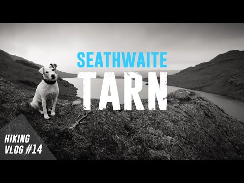
Seathwaite Tarn // Hiking Vlog #14
Filmed on Saturday 1st June 2019 The Lake District on a Saturday is normally quite a busy place. OK, it's INCREDIBLY busy.

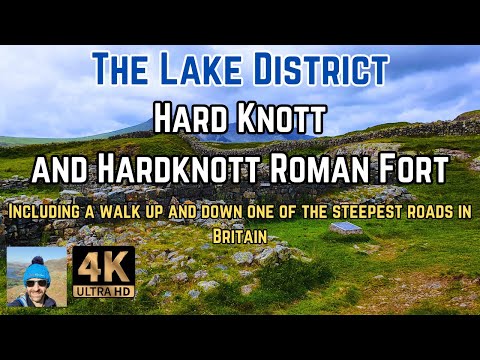
Hard Knott Lake District and Hardknott Roman Fort | Lake District Walks
A solo hike up to the Hard Knott Lake District summit taking in the Hardknott Roman Fort also known as Mediobogdum by the ...
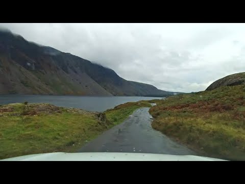
Rainy Drive Along Hardknott Pass, Wasdale to Ambleside, English Countryside 4K
https://www.buymeacoffee.com/Daveswalks All support is hugely appreciated and it helps me keep the channel going! No talking ...
Nearby Amenities
Located within 500m of 54.394275,-3.1760811Have you been to Castle How?
Leave your review of Castle How below (or comments, questions and feedback).