Beinn a' Chruinnich
Hill, Mountain in Aberdeenshire
Scotland
Beinn a' Chruinnich

Beinn a' Chruinnich is a prominent hill located in Aberdeenshire, Scotland. It stands at an impressive height of 480 meters (1,575 feet) above sea level, making it a popular destination for hikers and nature enthusiasts. The hill is part of the eastern Grampian Mountains, offering stunning panoramic views of the surrounding landscape.
Situated approximately 16 kilometers (10 miles) west of the town of Ballater, Beinn a' Chruinnich is easily accessible for visitors. Its location within the Cairngorms National Park adds to its appeal, as the park is known for its diverse flora and fauna.
The hill itself is characterized by its rugged and rocky terrain, with steep slopes that can pose a challenge to climbers. However, experienced hikers will find the ascent rewarding as they are greeted with breathtaking vistas at the summit. On a clear day, one can see the vast expanse of the Cairngorms, with its rolling hills, deep valleys, and pristine lochs.
Beinn a' Chruinnich is also home to a variety of wildlife, including red deer, mountain hares, and golden eagles. The surrounding area offers opportunities for birdwatching and spotting other wildlife species.
For those interested in exploring the hill, there are several well-marked trails and paths that cater to different levels of difficulty. Hiking to the summit can take a few hours, depending on one's pace and fitness level.
Overall, Beinn a' Chruinnich offers a captivating outdoor experience, combining breathtaking scenery, challenging terrain, and a chance to immerse oneself in the natural beauty of Aberdeenshire.
If you have any feedback on the listing, please let us know in the comments section below.
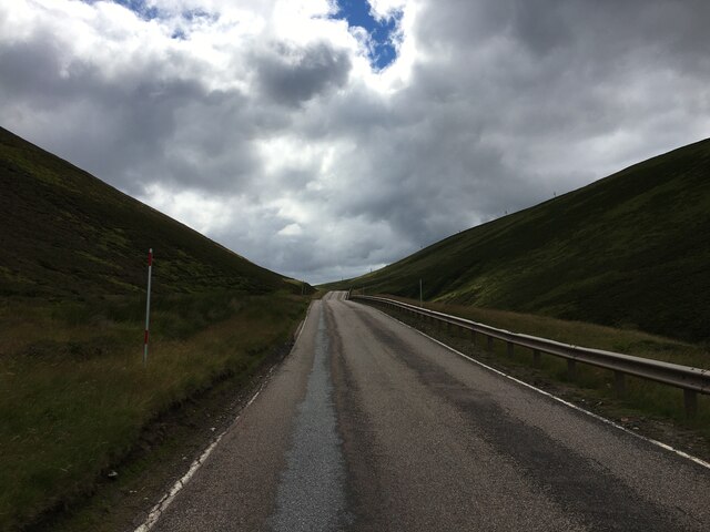
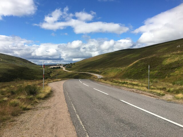
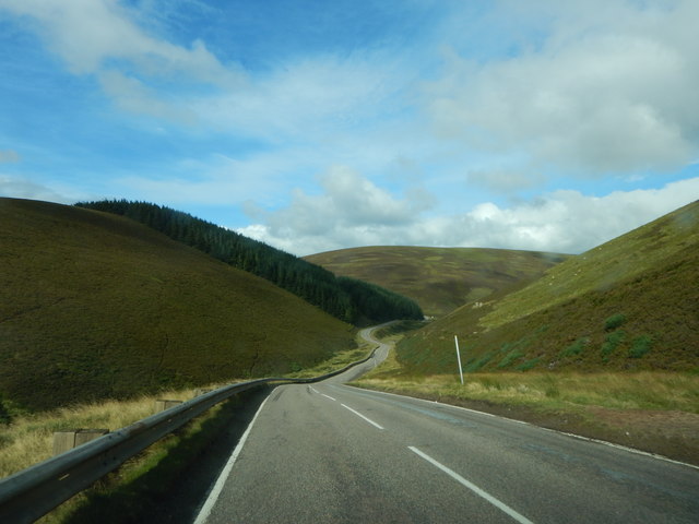
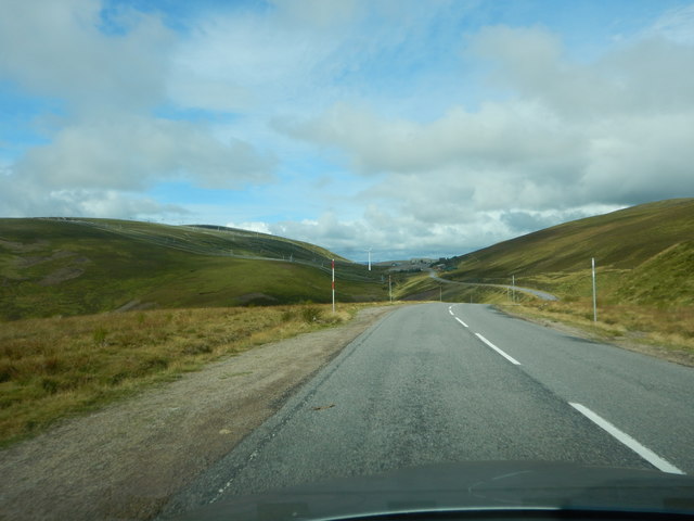
Beinn a' Chruinnich Images
Images are sourced within 2km of 57.20288/-3.2641372 or Grid Reference NJ2313. Thanks to Geograph Open Source API. All images are credited.


Beinn a' Chruinnich is located at Grid Ref: NJ2313 (Lat: 57.20288, Lng: -3.2641372)
Unitary Authority: Aberdeenshire
Police Authority: North East
What 3 Words
///focus.confusion.muted. Near Ballater, Aberdeenshire
Nearby Locations
Related Wikis
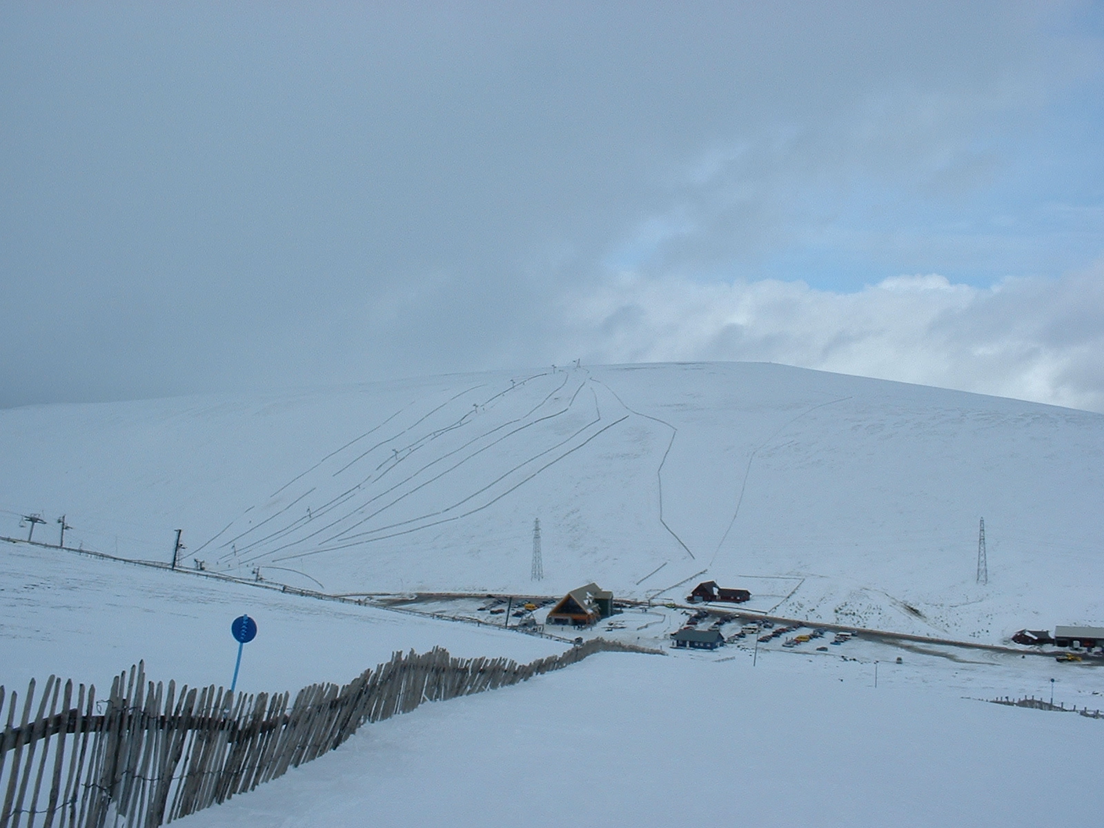
Lecht Ski Centre
The Lecht Ski Centre is an alpine ski area in the Cairngorms in the Scottish Highlands. The ski slopes are set around the mountains Beinn a' Chruinnich...

Cock Bridge (Aberdeenshire)
Cock Bridge is a settlement in Aberdeenshire, Scotland, located in the Cairngorms National Park, on the A939 road near Corgarff and Corgarff Castle, between...

Delnadamph Lodge
Delnadamph Lodge was located on the Balmoral Estate about 8 miles (13 km) north of the castle. The lodge and its estate lands were bought by Queen Elizabeth...

Corgarff Castle
Corgarff Castle is located slightly west of the village of Corgarff, in Aberdeenshire, north-east Scotland. It stands by the Lecht road, which crosses...
Nearby Amenities
Located within 500m of 57.20288,-3.2641372Have you been to Beinn a' Chruinnich?
Leave your review of Beinn a' Chruinnich below (or comments, questions and feedback).