Chester Hill
Hill, Mountain in Peeblesshire
Scotland
Chester Hill
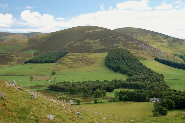
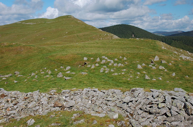
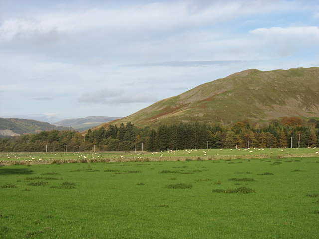
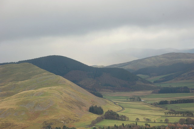
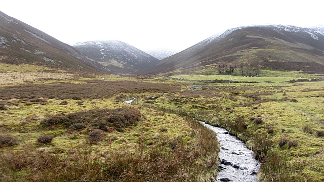
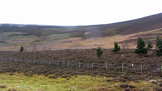
Chester Hill is a prominent hill located in Peeblesshire, which is a historic county in the Scottish Borders region of Scotland. Rising to an elevation of approximately 400 meters (1,312 feet), it is considered a notable landmark in the area.
Situated near the town of Peebles, Chester Hill offers stunning panoramic views of the surrounding countryside. Its location on the Southern Upland Way, a long-distance trail that traverses the southern uplands of Scotland, makes it a popular destination for hikers and outdoor enthusiasts. The hill is easily accessible via various footpaths and trails, allowing visitors to explore its natural beauty.
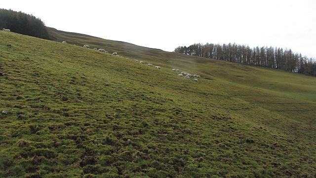
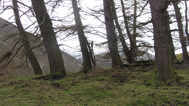
Covered in lush green vegetation, Chester Hill is part of a larger range of hills that characterizes the landscape of Peeblesshire. Its slopes are home to a diverse array of flora and fauna, including heather, moss, and various species of birds and small mammals.
The summit of Chester Hill provides a vantage point from which visitors can appreciate the picturesque Scottish countryside, with rolling hills, meandering rivers, and charming villages dotting the landscape. On clear days, it is even possible to catch a glimpse of the iconic Edinburgh skyline in the distance.
Whether it be for a leisurely stroll, a challenging hike, or simply a peaceful escape into nature, Chester Hill offers a tranquil and enchanting experience for all who venture to explore its slopes. Its rich natural heritage and breathtaking views make it a must-visit destination for both locals and tourists alike.
If you have any feedback on the listing, please let us know in the comments section below.
Chester Hill Images
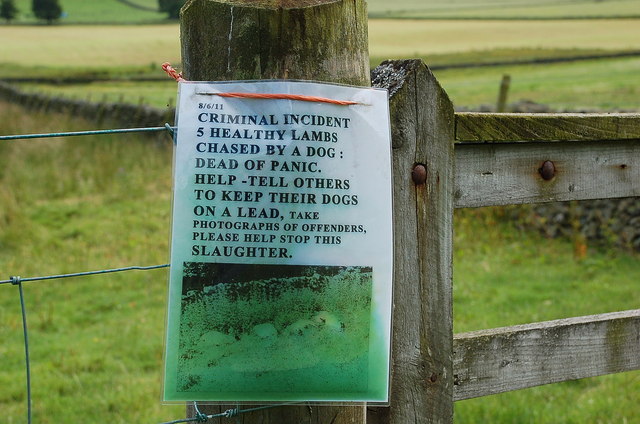
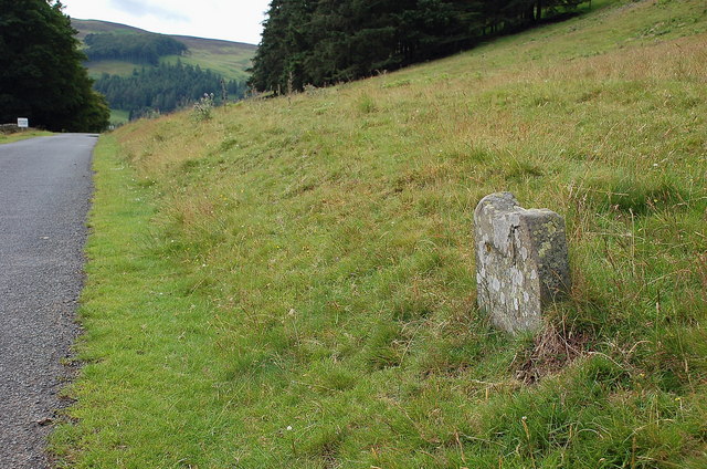
Images are sourced within 2km of 55.612214/-3.212638 or Grid Reference NT2336. Thanks to Geograph Open Source API. All images are credited.


Chester Hill is located at Grid Ref: NT2336 (Lat: 55.612214, Lng: -3.212638)
Unitary Authority: The Scottish Borders
Police Authority: The Lothians and Scottish Borders
What 3 Words
///reminds.buckling.remover. Near Peebles, Scottish Borders
Nearby Locations
Related Wikis
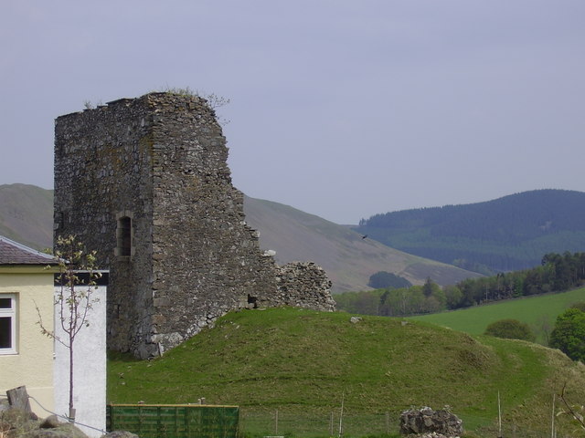
Castlehill Tower
Castlehill Tower, also known as Castle Hill of Manor, is a ruined oblong tower house dating from the end of the 15th century, situated in the parish of...

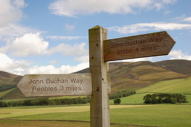
John Buchan Way
The John Buchan Way is a walking route from Peebles to Broughton in the Scottish Borders, a distance of approximately 22 km (13 miles). The route is waymarked...

Manor, Scottish Borders
Manor is a parish in Peeblesshire in the Scottish Borders, whose church lies on the west bank of Manor Water 3 miles south-west of Peebles.The parish...

Manor Water
Manor Water is a river in the parish of Manor, Peeblesshire in the Scottish Borders. It rises in the Ettrick Forest and flows down through the Maynor valley...
Nearby Amenities
Located within 500m of 55.612214,-3.212638Have you been to Chester Hill?
Leave your review of Chester Hill below (or comments, questions and feedback).