Carn Tighearn
Hill, Mountain in Banffshire
Scotland
Carn Tighearn
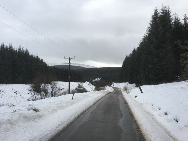
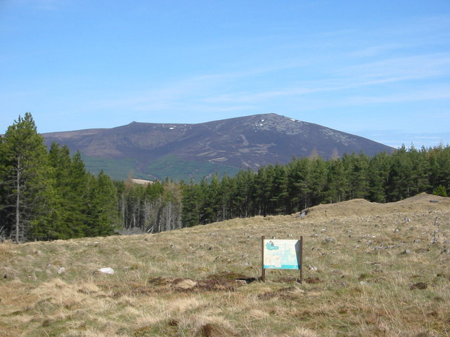
Carn Tighearn is a prominent hill located in Banffshire, Scotland. It is situated in the northeastern part of the country, close to the town of Huntly. The hill is part of the Grampian Mountains and stands at an impressive height of approximately 707 meters (2,320 feet) above sea level.
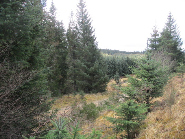
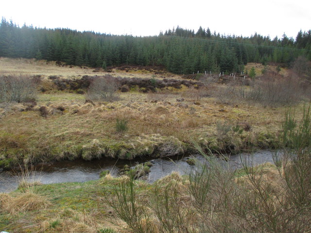
Carn Tighearn offers breathtaking panoramic views of the surrounding landscape, including the rolling hills, lush green valleys, and distant peaks. Its summit provides an excellent vantage point for nature enthusiasts, hikers, and photographers seeking to capture the beauty of the Scottish Highlands.
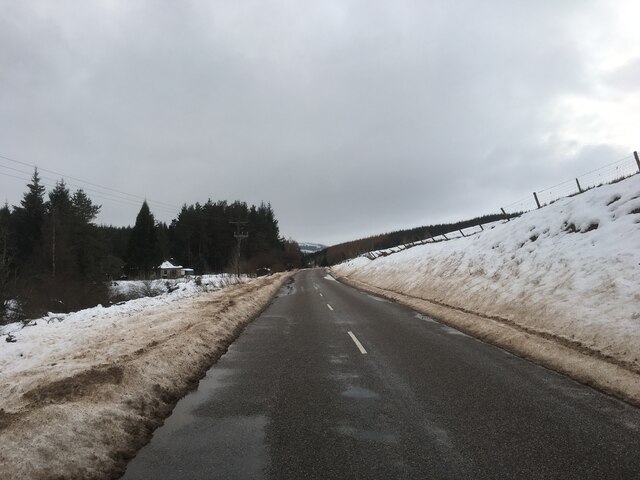
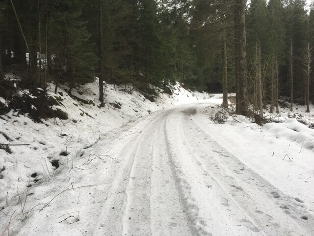
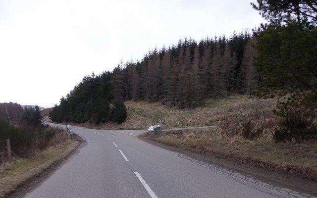
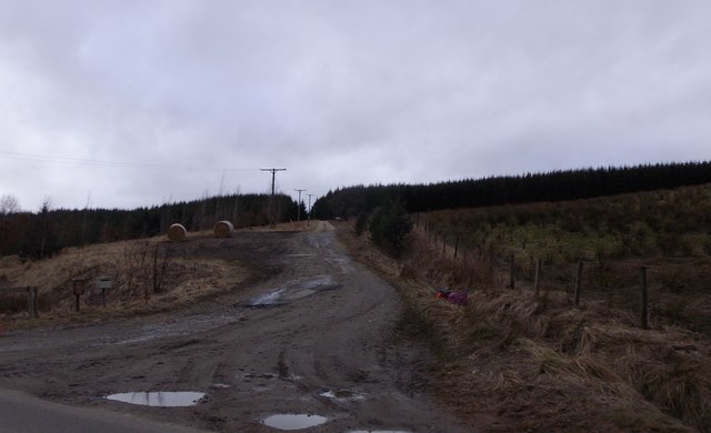
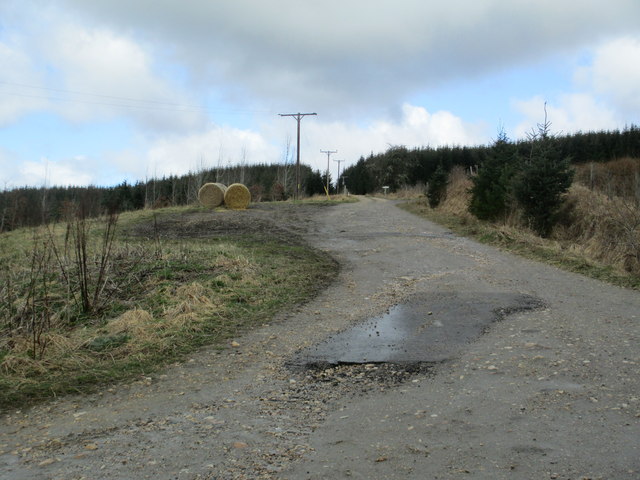
The hill is accessible by various walking trails and paths, with the most popular route starting from the nearby village of Kennethmont. The ascent is moderately challenging, with some steep sections and rocky terrain, but the reward of reaching the summit is well worth the effort.
Wildlife is abundant in the area, and visitors may encounter various species such as red deer, mountain hares, and a variety of birdlife. The hill is also home to a diverse range of flora, including heather, mosses, and wildflowers, adding to its natural allure.
Carn Tighearn is not only a popular destination for outdoor enthusiasts but also holds historical significance. The hill has been used as a landmark and boundary marker for centuries, and its name translates to "Hill of the Laird" in Scottish Gaelic.
In conclusion, Carn Tighearn is a captivating hill in Banffshire, offering stunning views, challenging hikes, and a glimpse into the rich natural and cultural heritage of the Scottish Highlands.
If you have any feedback on the listing, please let us know in the comments section below.
Carn Tighearn Images
Images are sourced within 2km of 57.348891/-3.2697008 or Grid Reference NJ2329. Thanks to Geograph Open Source API. All images are credited.


Carn Tighearn is located at Grid Ref: NJ2329 (Lat: 57.348891, Lng: -3.2697008)
Unitary Authority: Moray
Police Authority: North East
What 3 Words
///records.duos.protest. Near Dufftown, Moray
Nearby Locations
Related Wikis

Battle of Glenlivet
The Battle of Glenlivet was a Scottish clan battle fought on 3 October 1594 near Glenlivet, Moray, Scotland. It was fought between Protestant forces loyal...

Auchbreck
Auchbreck (Scottish Gaelic: An t-Achadh Breac, meaning the speckled field) is a village in Moray, Scotland.

Glenlivet
Glenlivet (Scottish Gaelic: Gleann Lìobhait) is the glen in the Scottish Highlands through which the River Livet flows. The river rises high in the Ladder...
Deskie Castle
Deskie Castle was a medieval tower house that is thought to have been near Bridgend of Livet, Moray, Scotland. == History == Little is known of the castle...
Blairfindy Castle
Blairfindy Castle is an L-plan tower house, dating from the 16th century, around 6.5 miles (10.5 km) north of Tomintoul, and west of the River Livet....

Tamnavulin distillery
Tamnavulin distillery is a producer of single malt Scotch whisky that was founded in 1966. The distillery is operated by Whyte & Mackay, which Philippines...

The Glenlivet distillery
The Glenlivet distillery is a distillery near Ballindalloch in Moray, Scotland that produces single malt Scotch whisky. It is the oldest legal distillery...

Church of The Incarnation, Tombae
The Church of The Incarnation was built between 1827 and 1829 as a Roman Catholic church, under the patronage of the Gordon family, in Banffshire, Scotland...
Nearby Amenities
Located within 500m of 57.348891,-3.2697008Have you been to Carn Tighearn?
Leave your review of Carn Tighearn below (or comments, questions and feedback).