Caerketton Hill
Hill, Mountain in Midlothian
Scotland
Caerketton Hill
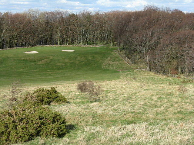
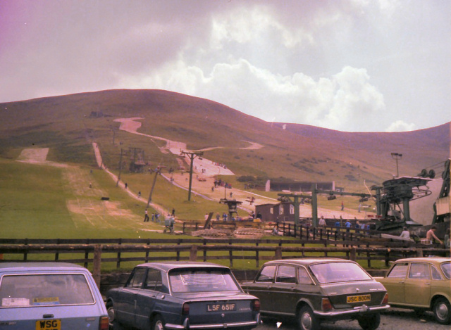
![Western Edinburgh from above Swanston Looking over Lothianburn golf course. To the left of the trees [the 'T-wood'] is the valley of the Swanston Burn, beyond which are the upper reaches of Swanston Golf Course, then Dreghorn and Redford Barracks and, even further in the distance, Corstorphine Hill and the Firth of Forth [11 km away]](https://s1.geograph.org.uk/geophotos/02/33/72/2337289_b81b7753.jpg)
Caerketton Hill is a prominent hill located in Midlothian, Scotland. Rising to an elevation of 478 meters (1,568 feet), it forms part of the Pentland Hills range. Situated south of the capital city, Edinburgh, Caerketton Hill offers breathtaking panoramic views of the surrounding countryside, including the city skyline and the Firth of Forth.
The hill is popular among hikers, walkers, and outdoor enthusiasts due to its accessibility and stunning vistas. Numerous well-marked trails cater to a range of abilities, making it suitable for both experienced mountaineers and casual visitors. The ascent to the summit is relatively gentle, making it an enjoyable hike for all ages.
At the top of Caerketton Hill, a trig point serves as a focal point for visitors, offering an ideal spot to take in the sweeping views and capture memorable photographs. On a clear day, one can see as far as the Scottish Borders and the Pentland Hills' neighboring peaks.
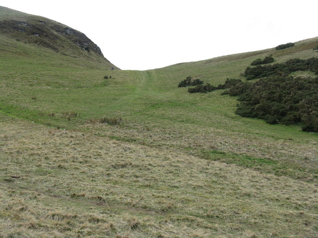
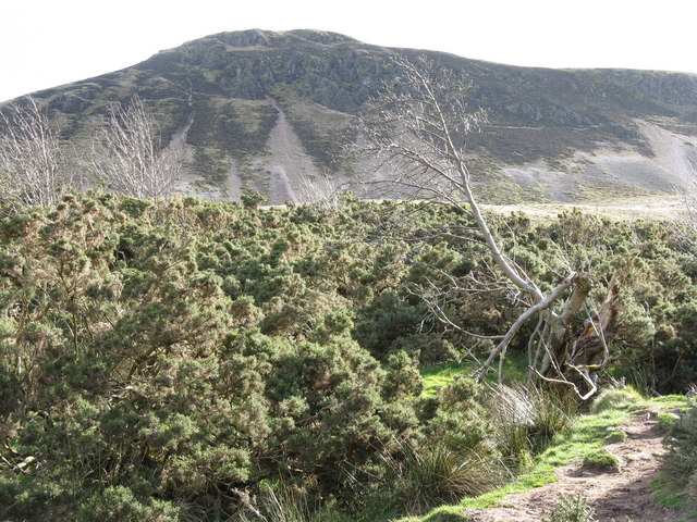
The landscape of Caerketton Hill is characterized by rolling hills, heather-covered moorland, and rocky outcrops. The area is home to a diverse range of flora and fauna, including birds, rabbits, and deer. It is not uncommon to spot wildlife while exploring the hill, adding to its allure.
Caerketton Hill's proximity to Edinburgh makes it an easily accessible destination for locals and tourists alike. Its natural beauty, combined with its recreational opportunities, makes it a popular choice for outdoor enthusiasts seeking a respite from the urban environment. Whether for a leisurely stroll or a challenging hike, Caerketton Hill offers a rewarding experience for anyone seeking to explore the natural wonders of Midlothian.
If you have any feedback on the listing, please let us know in the comments section below.
Caerketton Hill Images
Images are sourced within 2km of 55.882703/-3.2236333 or Grid Reference NT2366. Thanks to Geograph Open Source API. All images are credited.
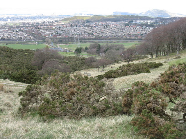
![Edinburgh from Hillend Looking northeastwards from just above the Midlothian Snowsports Centre, over Lothianburn Golf Course and Comiston to The Braid Hills, with Edinburgh Castle to the left [7km] and Salisbury Crags and Arthur&#039;s Seat to the right [7km], and the Firth of Forth, with Inchkeith island in the centre [17km].](https://s2.geograph.org.uk/geophotos/02/33/74/2337422_7b849218.jpg)
![Multiple Mobile Masts And other electrical support structures - at least 5 pylons are visible, as well as poles carrying lower tension cables. Looking towards the Lothianburn junction of the A720 [Edinburgh City Bypass] and A702 [Biggar Road] at Fairmilehead.](https://s0.geograph.org.uk/geophotos/02/33/74/2337468_6dbe4b58.jpg)
Caerketton Hill is located at Grid Ref: NT2366 (Lat: 55.882703, Lng: -3.2236333)
Unitary Authority: City of Edinburgh
Police Authority: Edinburgh
What 3 Words
///racks.mass.stays. Near Bilston, Midlothian
Nearby Locations
Related Wikis

Caerketton Hill
Caerketton Hill is a hill in the Pentland Hills range of Scotland. Standing at 478 m, it is at the northeast end of the approximately 25 km (16 mi) long...

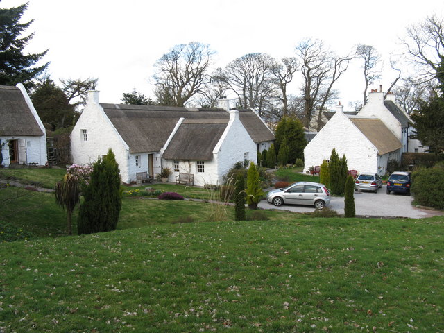
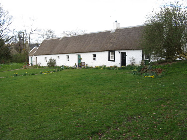
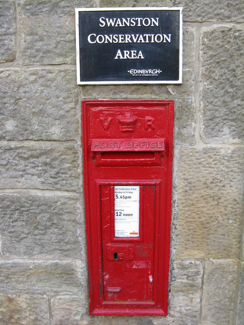
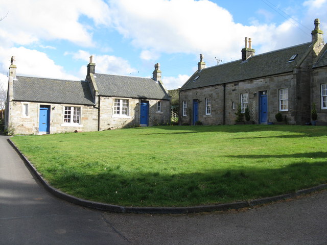
Swanston, Edinburgh
Swanston is a village and residential area on the southern edge of Edinburgh, Scotland, noted for its picturesque thatched cottages set around an informal...
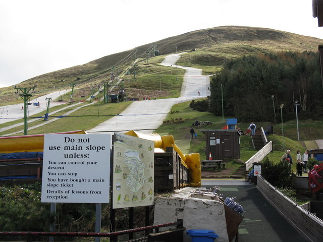
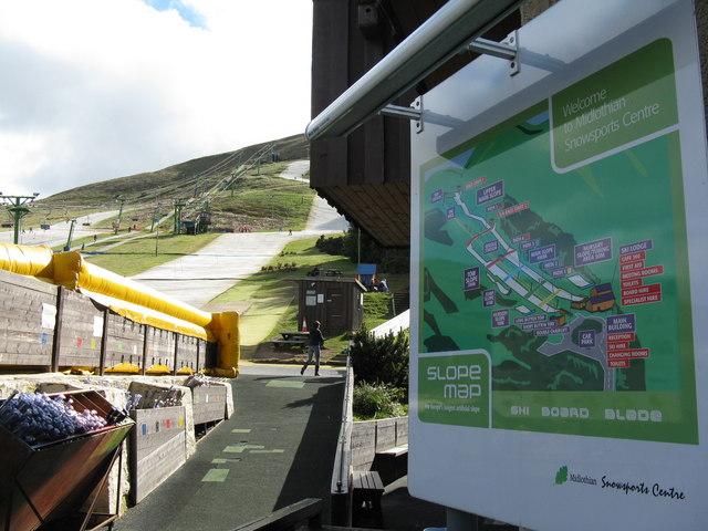
Hillend, Edinburgh
Hillend is a small hamlet in Midlothian, just outside the Scottish capital Edinburgh, best known for the Midlothian Snowsports Centre (formerly the Hillend...

Hunter's Tryst
Hunter's Tryst is the name of a long-established inn in Edinburgh, Scotland; it has lent its name to the surrounding area, near Fairmilehead.The inn, once...

Easter Howgate
Easter Howgate is a settlement in Midlothian, Scotland, UK, on the A702, two miles north of Penicuik. The Scottish Agricultural College maintains a teaching...

Castle Law
Castle Law is a hill south west of Fairmilehead in the Pentland Hills in Midlothian, Scotland. It is best known for the Iron Age hill fort on its slopes...

Fairmilehead
Fairmilehead is a district of southern Edinburgh, Scotland. It lies approximately 3 miles (5 km) due south of the city centre and borders Midlothian. The...
Royal (Dick) School of Veterinary Studies
The Royal (Dick) School of Veterinary Studies, commonly referred to as the Dick Vet, is the University of Edinburgh's vet school. It is part of the College...
Nearby Amenities
Located within 500m of 55.882703,-3.2236333Have you been to Caerketton Hill?
Leave your review of Caerketton Hill below (or comments, questions and feedback).